몽토방 쉬르 루베즈 최고의 워킹 & 하이킹 경로
4.6
(161)
895
등산객
67
하이킹
정확한 경로를 찾는 것이 때로는 어렵지만 몽토방 쉬르 루베즈에서 하이킹을 하면 다양한 경치를 마음껏 감상할 수 있답니다. 몽토방 쉬르 루베즈에서 가장 멋진 하이킹과 워킹 중에서 마음에 드는 활동을 시작해보세요.
마지막 업데이트: 11월 8, 2026
4.9
(8)
50
등산객
12.4km
03:59
540m
540m

4.5
(4)
27
등산객
10.3km
03:11
380m
380m
보통 하이킹. 좋은 체력 필요. 쉽게 걸을 수 있는 길.
5.0
(4)
16
등산객
15.2km
05:04
750m
740m
어려운 하이킹. 우수한 체력 필요. 쉽게 걸을 수 있는 길.
3.0
(1)
12
등산객
5.32km
01:43
230m
230m
초급용 하이킹. 쉽게 걸을 수 있는 길.
더 다양한 경로와 다른 탐험가들의 추천을 살펴보세요.
이미 komoot 계정이 있나요?
투어 추천은 다른 사람들이 komoot에서 완료한 수천 개의 활동을 바탕으로 구성되어 있습니다.
오늘 무료 계정으로 시작하세요
다음 모험이 기다리고 있어요.
커뮤니티 팁

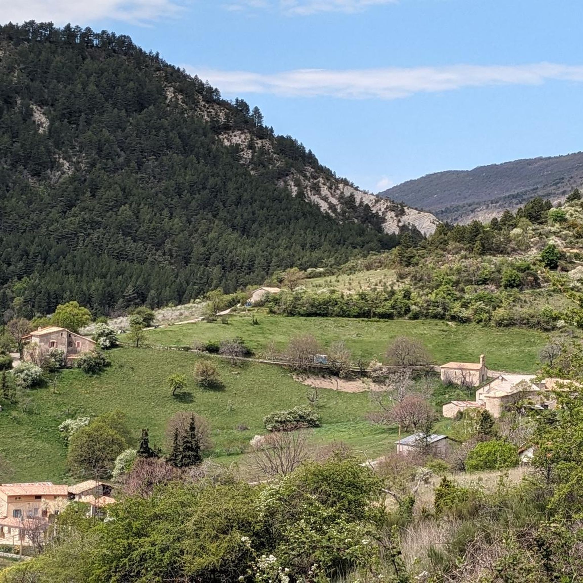
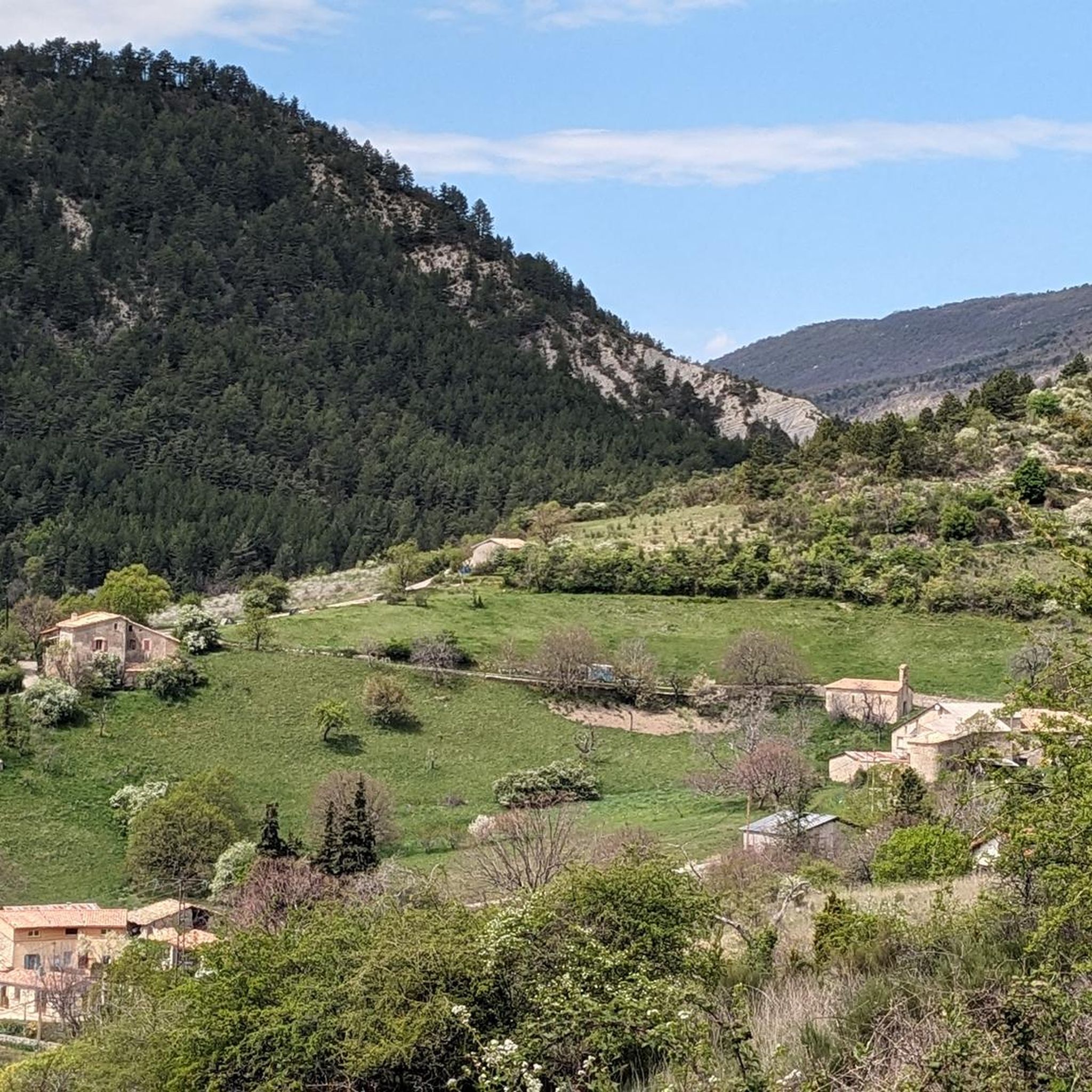
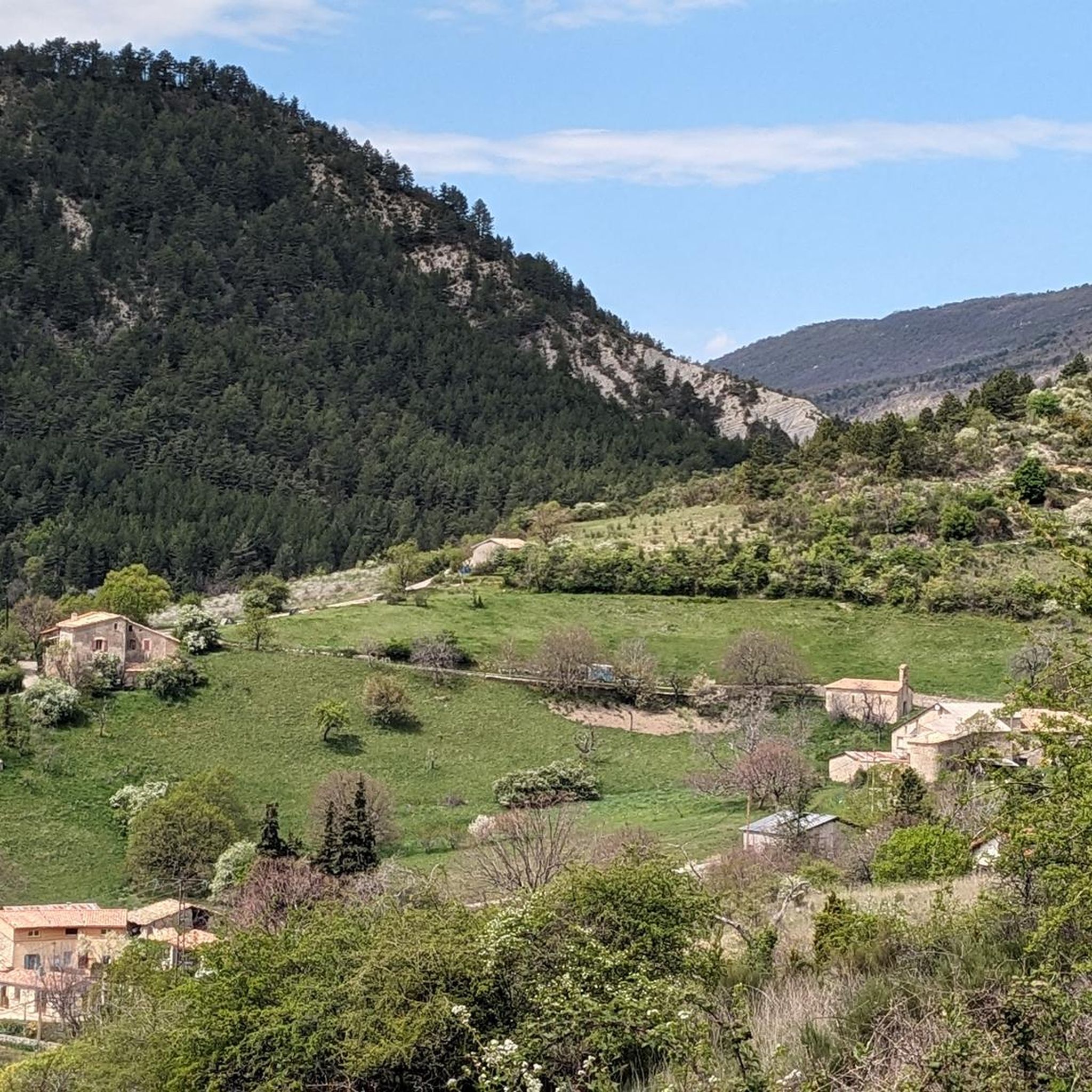
콜 드 페르티는 프랑스 남동부 오베르뉴-론-알프스 지역 드롬 데파르트망 바롱니 프로방살 산맥에 위치해 있습니다. 해발 1,302m에 달하며 우베즈 계곡과 오트알프의 오르피에르 지역을 연결합니다.
15
0

beautiful view of Mont Ventoux and Aulan Castle
1
0

From the summit of Arsuc (1460m), a breathtaking view awaits you.
0
0
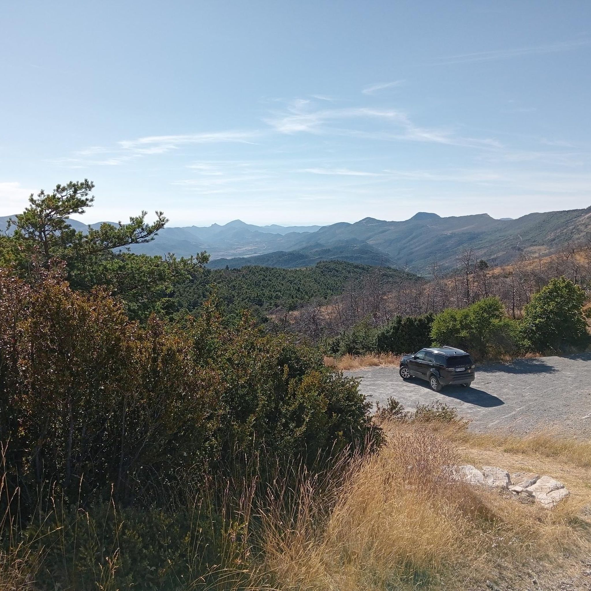
The Col de Percy culminates at 1,302 meters above sea level. It offers you a panorama of the surrounding mountains and Mont Ventoux. You can park your car here, if necessary.
1
0
We reach the Col d'Izon, 1342m, after crossing a pine forest.
1
0
In the forest of Tussie, the most observant will have the chance to see the mythical "Venus slipper", an orchid difficult to confuse with another.
2
0

The Col de Perty culminates at 1302 meters. It offers you a breathtaking panorama of the surrounding mountains and Mont Ventoux. Coming from the east the average angle of ascent is 5.59% with a maximum of 7.7% over a distance of 8.5 kilometers. You will then be rewarded for your effort with a very nice descent of more than 20 kilometers towards Buis-les-Baronnies.
3
0

몽토방 쉬르 루베즈 주변에서 가장 인기 있는 명소


더 살펴보기
다른 지역의 최고의 하이킹를 살펴보세요.
