바센 최고의 라이딩 경로
4.2
(1432)
27,239
자전거 타는 사람
22
라이딩
바센의 로드 사이클링 경로를 찾으시나요? 그렇다면 바센 로드 라이딩 컬렉션 중에서 가장 멋진 라이딩 장소를 아래에서 살펴보세요.
마지막 업데이트: 10월 18, 2026
3.7
(7)
164
자전거 타는 사람
82.2km
03:33
610m
610m
보통 도로 자전거 타기. 좋은 체력 필요. 지면 대부분이 잘 포장되어 있고 라이딩하기 쉬움.
18
자전거 타는 사람
103km
04:04
380m
380m
보통 도로 자전거 타기. 좋은 체력 필요. 투어 중 라이딩하기 어려운 비포장 구간이 있을 수 있음.

4.0
(1)
23
자전거 타는 사람
20.5km
00:50
110m
110m
초급용 로드 라이딩. 지면 대부분이 잘 포장되어 있고 라이딩하기 쉬움.
3.0
(1)
9
자전거 타는 사람
36.9km
01:44
300m
300m
보통 도로 자전거 타기. 좋은 체력 필요. 지면 대부분이 잘 포장되어 있고 라이딩하기 쉬움.
5
자전거 타는 사람
44.1km
01:51
270m
270m
초급용 로드 라이딩. 지면 대부분이 잘 포장되어 있고 라이딩하기 쉬움.
더 다양한 경로와 다른 탐험가들의 추천을 살펴보세요.
이미 komoot 계정이 있나요?
투어 추천은 다른 사람들이 komoot에서 완료한 수천 개의 활동을 바탕으로 구성되어 있습니다.
오늘 무료 계정으로 시작하세요
다음 모험이 기다리고 있어요.


커뮤니티 팁

Superbe piste cyclable de 50 kms dans la forêt et les vignobles
0
0

오리가 있는 아름다운 호수, 목가적인 환경에서 휴식을 취할 기회입니다.
1
0

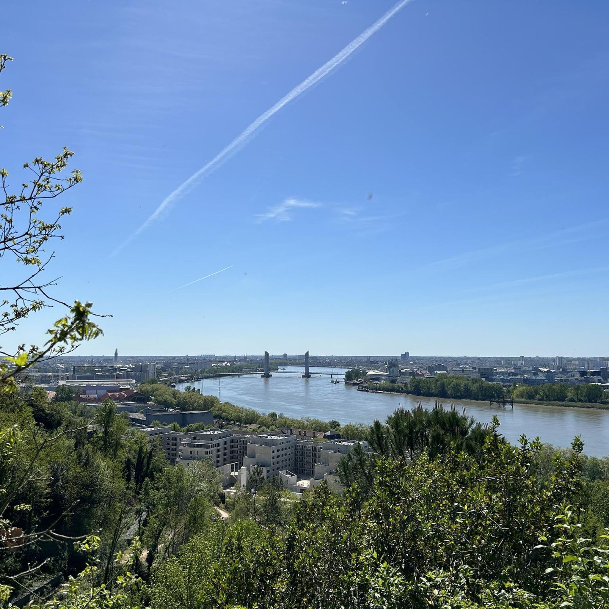
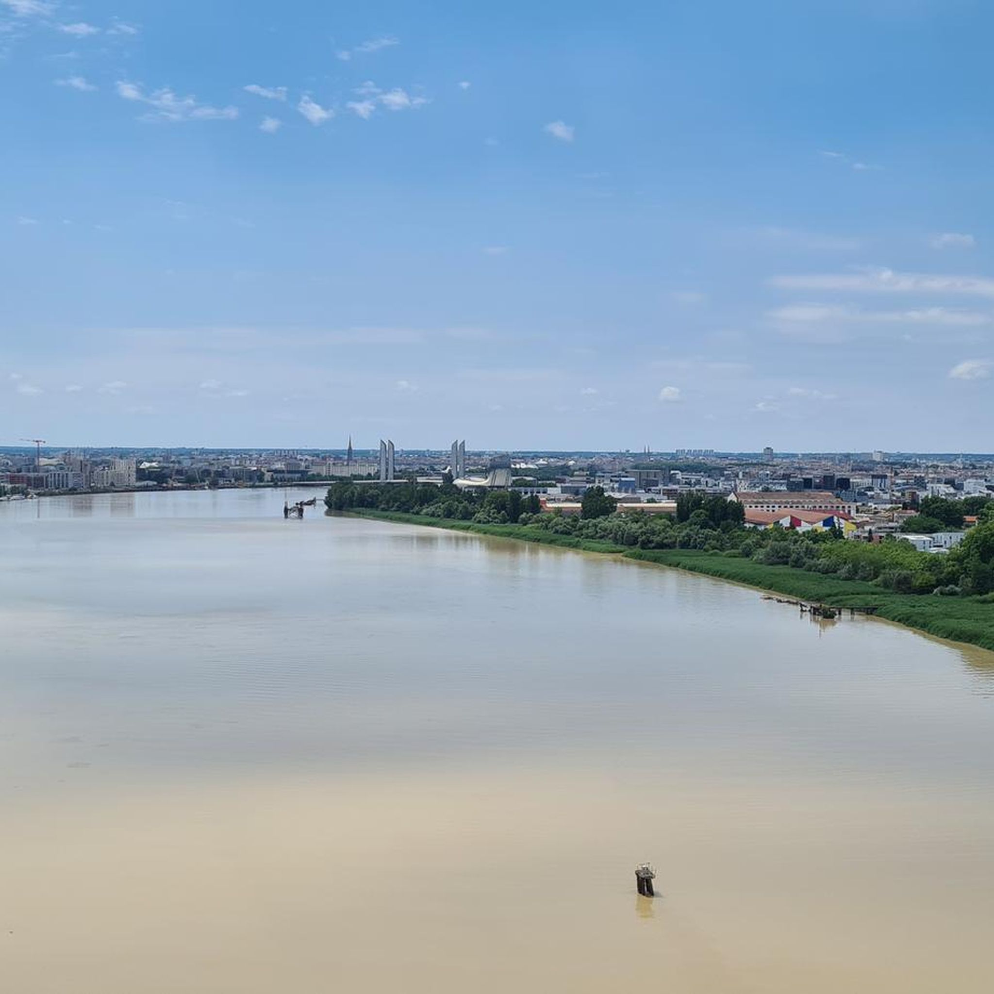
If you're lucky, you'll see the bridge rise.
1
0

Charming manor house among the vines. Private access, but nice owners. Worth seeing with winery.
0
0

The commune is the result of the merger of three parishes: Prignac (on the road to Blaye), Marcamps (further north, on the hillsides above the Moron Valley), and Cazelle (further south, descending towards the Dordogne). The three churches still exist. In addition, there is the former chapel of the priory of Lurzine, not far from the village of Prignac. During the French Revolution, the parish of Saint-Pierre de Prignac formed the commune of Prignac, and its annex, Saint-Michel de Marcamps, formed the commune of Marcamps. The parish of Saint-Félix de Cazelles and its annex, Sainte-Quitterie de Magrigne, formed the commune of Cazelles. In the year 12, the commune of Cazelles was annexed to that of Prignac, which became Prignac-et-Cazelles. In 1965, the commune of Marcamps was annexed to that of Prignac-et-Cazelles, which became Prignac-et-Marcamps.
1
0
The commune takes its name from its Latin name, Blacciacum. A Gallo-Roman settlement is attested by the discovery of the remains of three Gallo-Roman villas, dating from the 1st to the 5th century AD. These remains were found near the current site of the church, not far from the Gironde. During the medieval period, the village's center of activity seems to have shifted to the heights overlooking the river. This is evidenced in particular by a hoard of Merovingian coins discovered around 1850 at a place called Montuzet (Mont des Yeuses). The lower Plassac region, around the port, was heavily involved in river and maritime activity in the 17th, 18th, and 19th centuries. Merchants and ocean-going captains settled in beautiful stone residences. This river activity gradually declined in the 20th century.
2
0

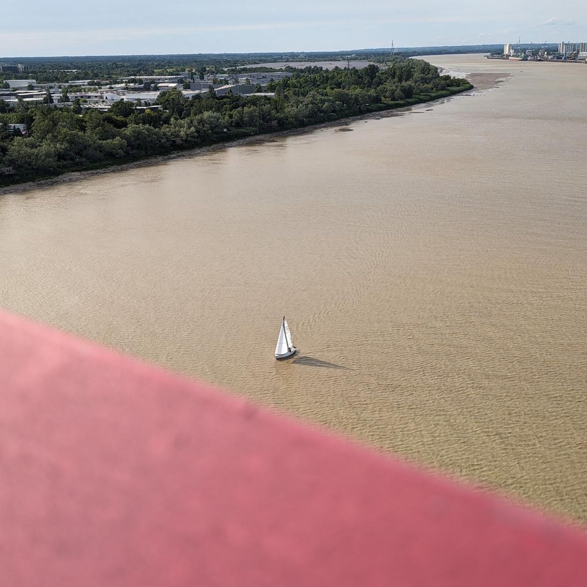
Nice spot for a break before continuing on the old Eiffel bridge !
1
0
바센 주변에서 가장 인기 있는 명소


더 살펴보기
다른 지역의 최고의 로드 사이클링 경로를 살펴보세요.
