20의 봉앙샤블레가지 명소 & 주요 장소
봉앙샤블레에는 둘러볼 만한 장소가 많답니다. 하이킹 또는 사이클링을 좋아한다면 봉앙샤블레에 숨겨진 20
가지 보석을 만날 수 있을 거예요. 이 지역의 주요 명소를 살펴보면서 다음 모험을 계획해보세요.
마지막 업데이트: 8월 30, 2026
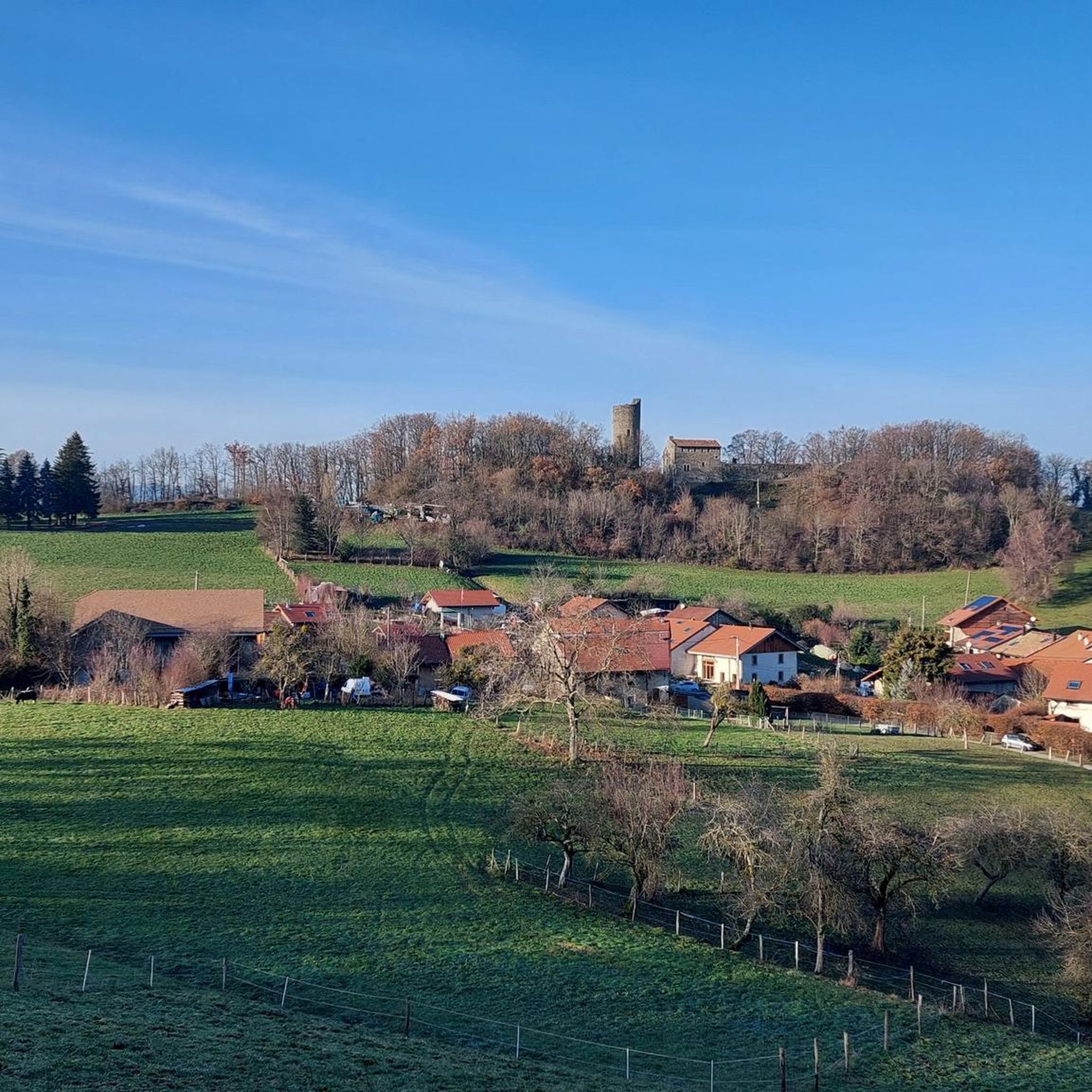
이부아르 중세 마을
하이라이트 • 정착지
번역자 Google •
팁에 의해


이런 장소를 발견하려면 지금 가입하세요
최고의 싱글 트랙, 봉우리 및 다양한 흥미로운 야외 장소에 대한 추천을 받아보세요.
이브와르 생팡크라스 교회
하이라이트 • 종교적 장소
번역자 Google •
팁에 의해

Col de Cou
하이라이트 • 산악 고개
번역자 Google •
팁에 의해


무료로 가입하여 봉앙샤블레 주변의 더 많은 명소를 발견하세요.
이미 komoot 계정이 있나요?
오늘 무료 계정으로 시작하세요
다음 모험이 기다리고 있어요.

커뮤니티 팁


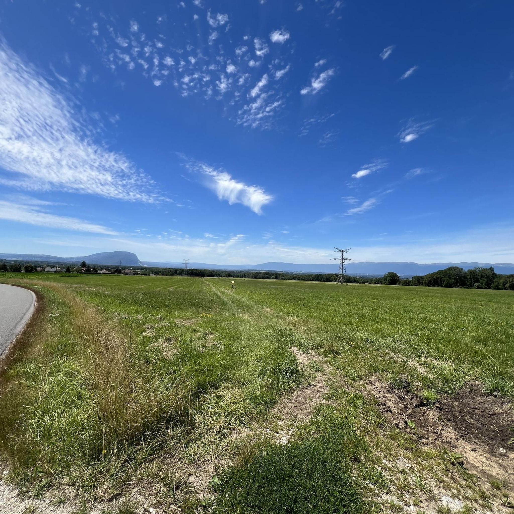
Yvoire is one of the Most Beautiful Villages in France. Its medieval heritage, its label as a flowery town, and its privileged position on the banks of Lake Geneva have something to do with it. Take the time to stroll through its historic center and get lost on the trails of the many natural spaces of this town in the Thonon-les-Bains agglomeration.
1
0

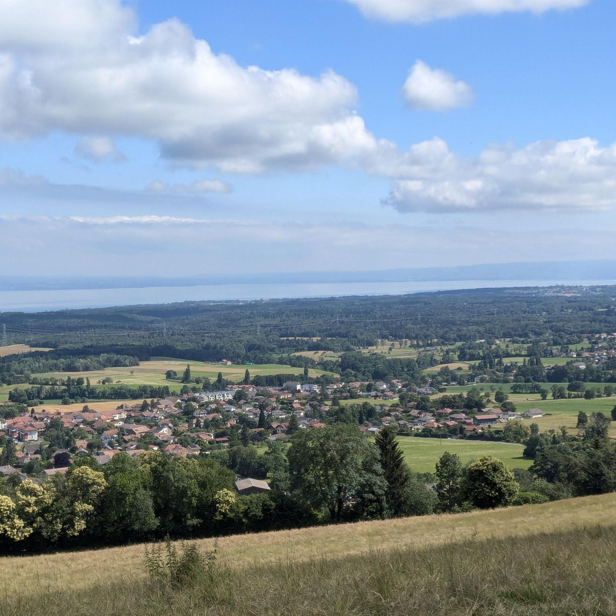
The Col de Cou, at an altitude of 1,117 metres, takes you from the Vallée Verte to the Côte-en-Chablais region. Several roads lead there, which allows you to train by varying the routes and difficulties. The hardest climb is the one on the western slope from Fessy, with seven kilometres at an average of 7.5%.
1
0

It can blow hard up there! I recommend the path that goes down to La Tour from the east
0
1


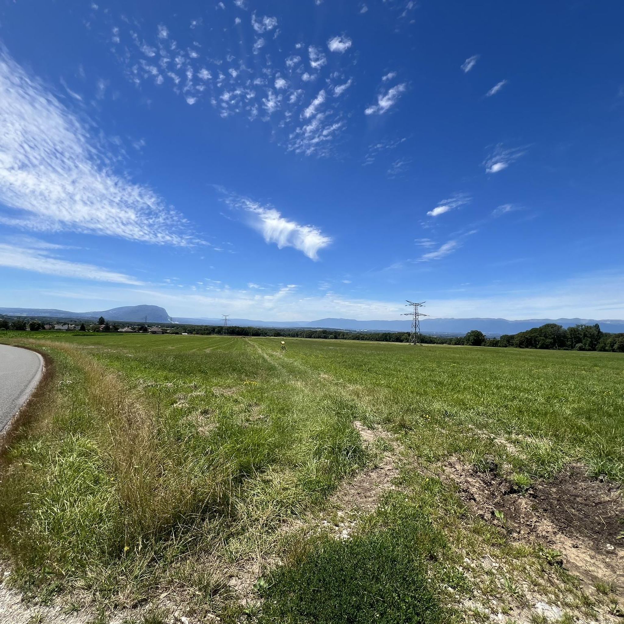
Between the Pointe de Targaillan to the south and the Aiguille to the north, the Col de Cou is the crossing point between the Vallée Verte to the west and the Côte-en-Chablais region to the east, from where it is accessible from Draillant and Fessy. On the edge of the communes of Cervens and Habère-Poche, it is crossed at an altitude of 1,117 m[1] by the D12 road linking Thonon-les-Bains to Bonneville. This has a passage on its northern slope at 6.5% and on its southern slope at 6%. The climb from Fessy, much steeper, has an average gradient of 7.5% with a passage at 9% over 400 meters Source Wikipedia https://fr.m.wikipedia.org/wiki/Col_de_Cou_(vall%C3%A9e_Verte)
0
0

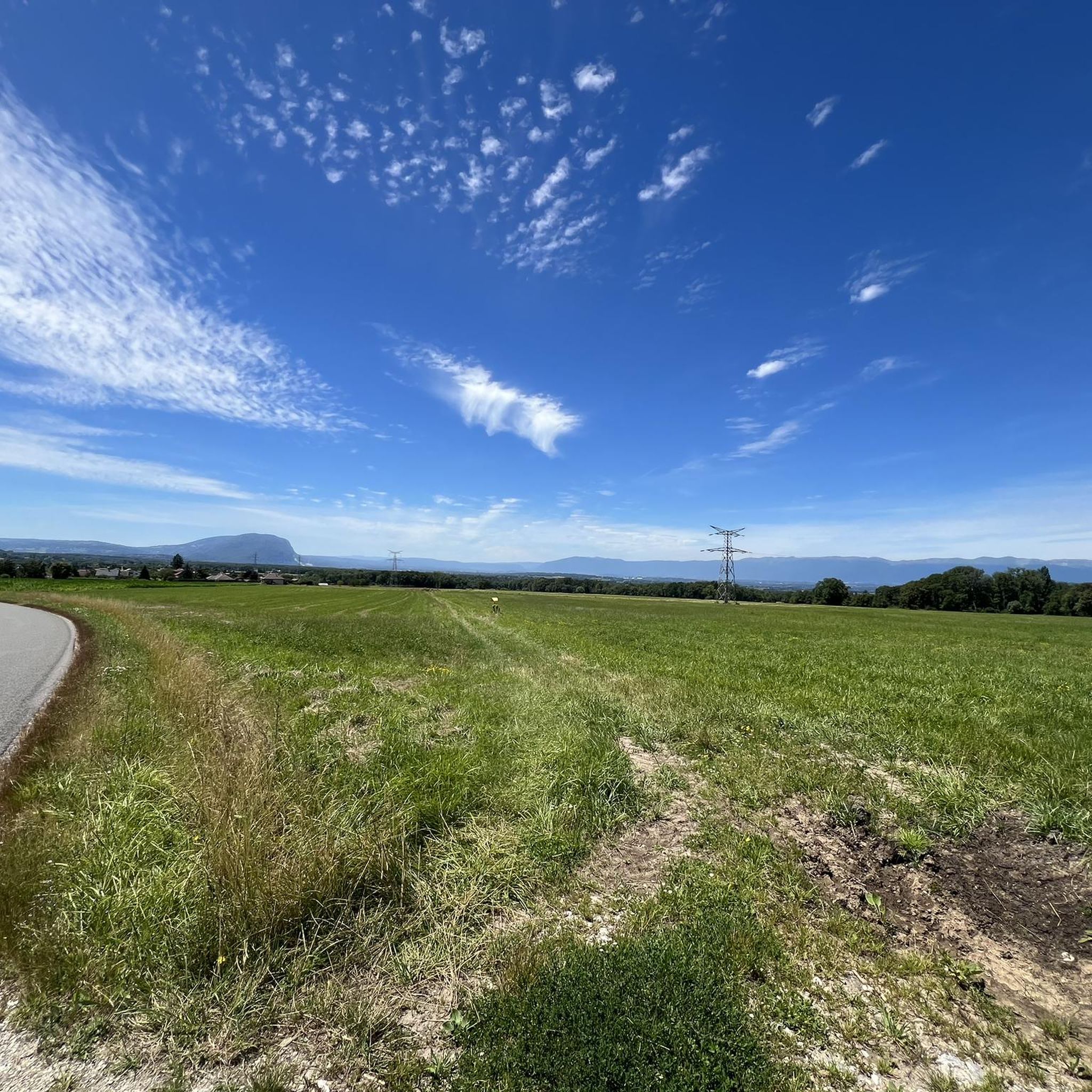
Pointe des Brasses is a summit of Haute-Savoie located in the Chablais massif, straddling the municipalities of Saint-Jeoire and Viuz-en-Sallaz, and culminating at 1,503 meters above sea level. Les Brasses is a toponym from a mountain pasture located above Viuz-en-Sallaz2. It could derive from the German Brache, which designates fallow or fallow land2,3, or from the Old German braka meaning “clearing”3. It is possible that it also derives from the Latin bracchium3 (“arm”), referring to the arms of the river, three of which have their source in Brasses: the Menoge, the Entreverges and Airets streams. In June 2013, a cross made by students from the Viuz-en-Sallaz Catholic Automobile School was erected on its summit. Six meters high, it is made up of 33 metal cubes measuring 30 centimeters on each side, assembled on site and arranged in a spiral by the students themselves. She was blessed on July 7, 2013 by Mgr Boivineau, Bishop of Annecy.
1
0
봉앙샤블레 주변에서 가장 인기 있는 명소


더 살펴보기
찾고 있는 하이라이트를 아직 못 찾으셨나요? 다른 지역의 주요 명소 가이드를 확인해보세요:
