오리보 최고의 러닝 경로
4.2
(111)
3,976
달리기 하는 사람
262
러닝
Jogging routes around Auribeau offer diverse landscapes, characterized by hilly and forested terrain, with the Siagne River valley providing scenic paths. Runners can explore routes through the Peygros Forest and enjoy views of the surrounding Tanneron Mountains. This area features a network of trails suitable for various fitness levels, from country lanes to more challenging ascents. The region's natural features include lush valleys and rolling hills, providing varied terrain for running.
Best jogging routes around Auribeau
- The most popular jogging…
마지막 업데이트: 10월 30, 2026
13
달리기 하는 사람
보통 조깅. 좋은 체력 필요. 대부분 뛸 수 있는 길. 약간의 안정적인 보행이 필요함.
13
달리기 하는 사람
20.1km
02:35
580m
580m
어려운 조깅. 우수한 체력 필요. 대부분 포장된 노면.

12
달리기 하는 사람
12.3km
01:23
260m
250m
보통 조깅. 좋은 체력 필요. 대부분 포장된 노면.
5.0
(1)
14
달리기 하는 사람
13.6km
01:55
630m
630m
어려운 조깅. 우수한 체력 필요. 튼튼한 신발을 신고 미끄러지지 않게 조심해야 하며, 높은 산을 오른 경험이 있어야 함.
5.0
(1)
12
달리기 하는 사람
7.48km
00:50
130m
130m
보통 조깅. 좋은 체력 필요. 대부분 포장된 노면.
더 다양한 경로와 다른 탐험가들의 추천을 살펴보세요.
이미 komoot 계정이 있나요?
투어 추천은 다른 사람들이 komoot에서 완료한 수천 개의 활동을 바탕으로 구성되어 있습니다.
오늘 무료 계정으로 시작하세요
다음 모험이 기다리고 있어요.

커뮤니티 팁

In winter, bring warm clothes and a raincoat because the weather can change quickly.
0
0


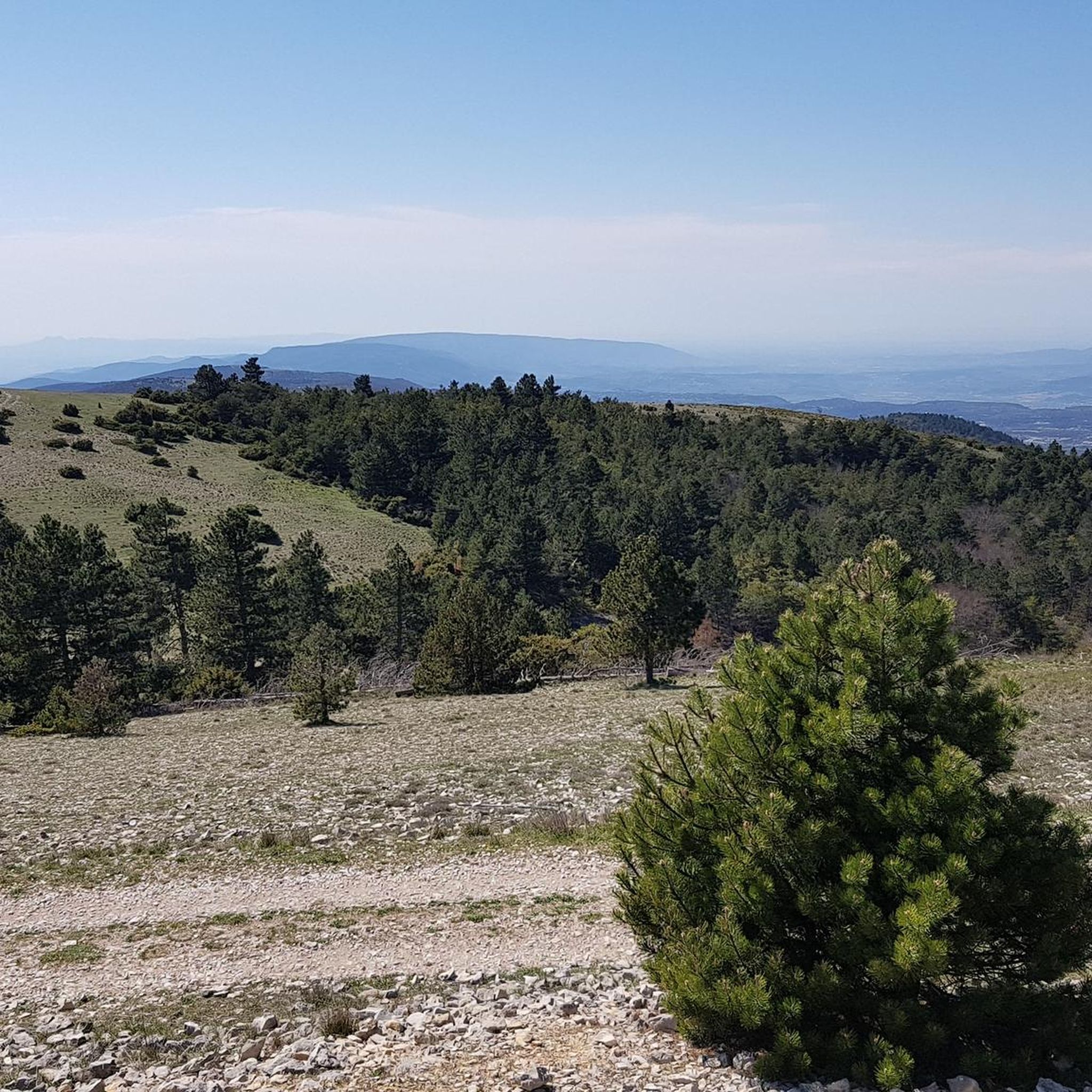
Highest point of the Luberon massif, rising to 1125 meters above sea level. The view is magnificent: from the Berre pond to the Southern Alps.
0
0

The Aiguebrun, a rare semi-permanent watercourse in the Mediterranean region, crosses a major ecological valley in the Park. This site is home to species such as brown trout, southern barbel and the rare white-clawed crayfish. The presence of these species testifies to the good health of the aquatic ecosystem, highlighting the importance of its preservation.
1
1

Early in the morning you are alone on this beautiful trail
0
0
Very varied trail, best ridden early in the morning.
0
0

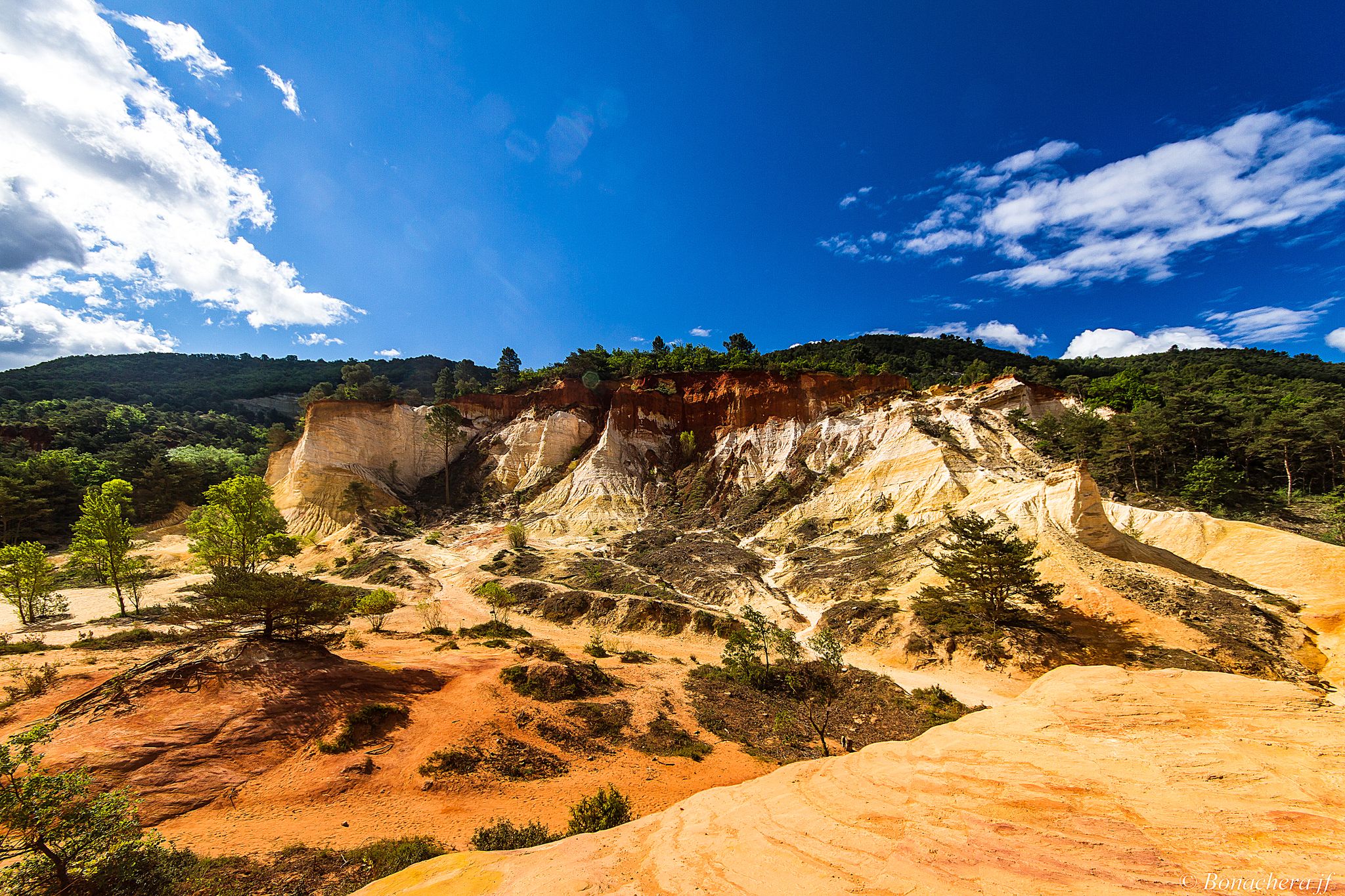
The narrow, adventurous trail follows the course of the river, which has cut deep into the valley. The view over the valley is beautiful, but you can also admire the rustic cedar trees along the way. In autumn, the trail is a true spectacle of colors in red, yellow and orange tones.
2
0
오리보 주변에서 가장 인기 있는 명소


더 살펴보기
다른 지역의 최고의 러닝 트레일 & 경로를 살펴보세요.
