20의 몽테일뢰르가지 명소 & 주요 장소
몽테일뢰르에는 둘러볼 만한 장소가 많답니다. 하이킹 또는 사이클링을 좋아한다면 몽테일뢰르에 숨겨진 20
가지 보석을 만날 수 있을 거예요. 이 지역의 주요 명소를 살펴보면서 다음 모험을 계획해보세요.
마지막 업데이트: 9월 8, 2026
프렌 고개(해발 950m)
하이라이트 • 산악 고개
번역자 Google •
팁에 의해


이런 장소를 발견하려면 지금 가입하세요
최고의 싱글 트랙, 봉우리 및 다양한 흥미로운 야외 장소에 대한 추천을 받아보세요.


무료로 가입하여 몽테일뢰르 주변의 더 많은 명소를 발견하세요.
이미 komoot 계정이 있나요?
오늘 무료 계정으로 시작하세요
다음 모험이 기다리고 있어요.

커뮤니티 팁

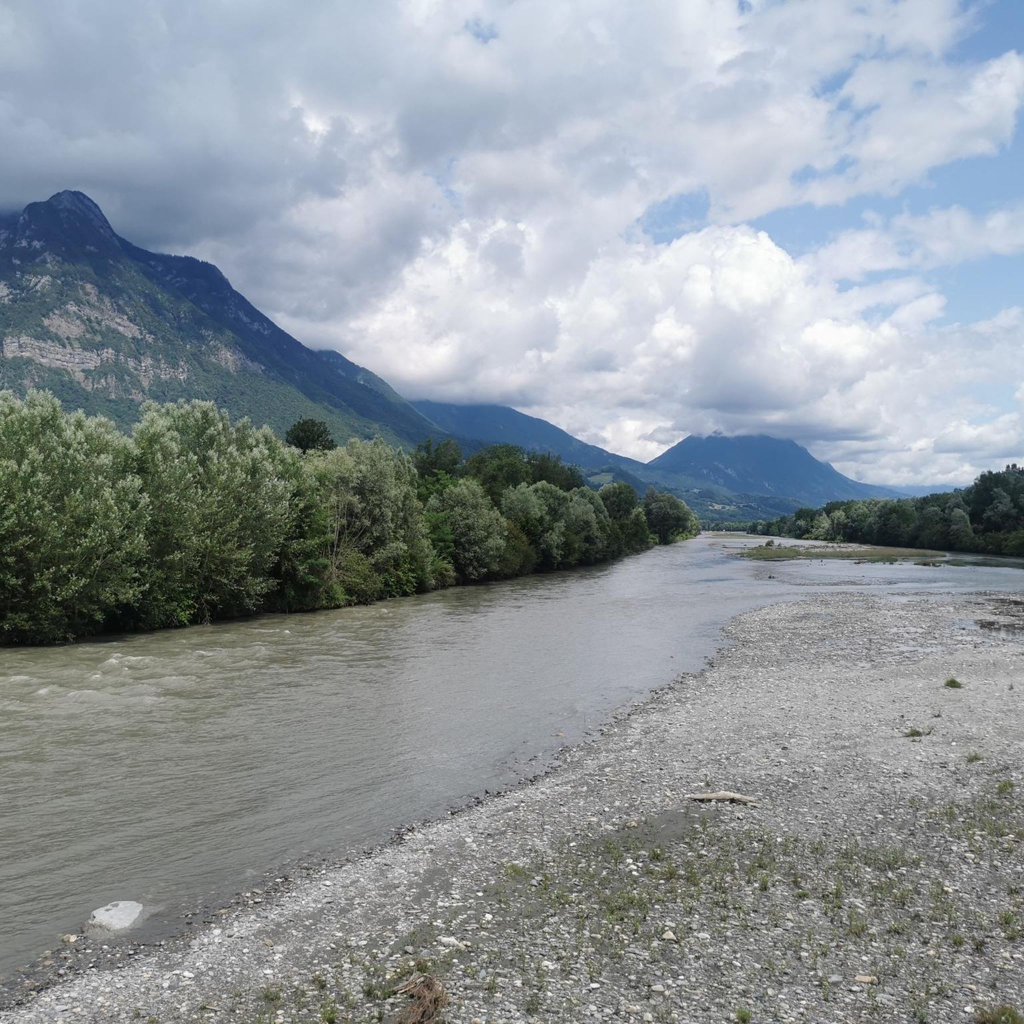
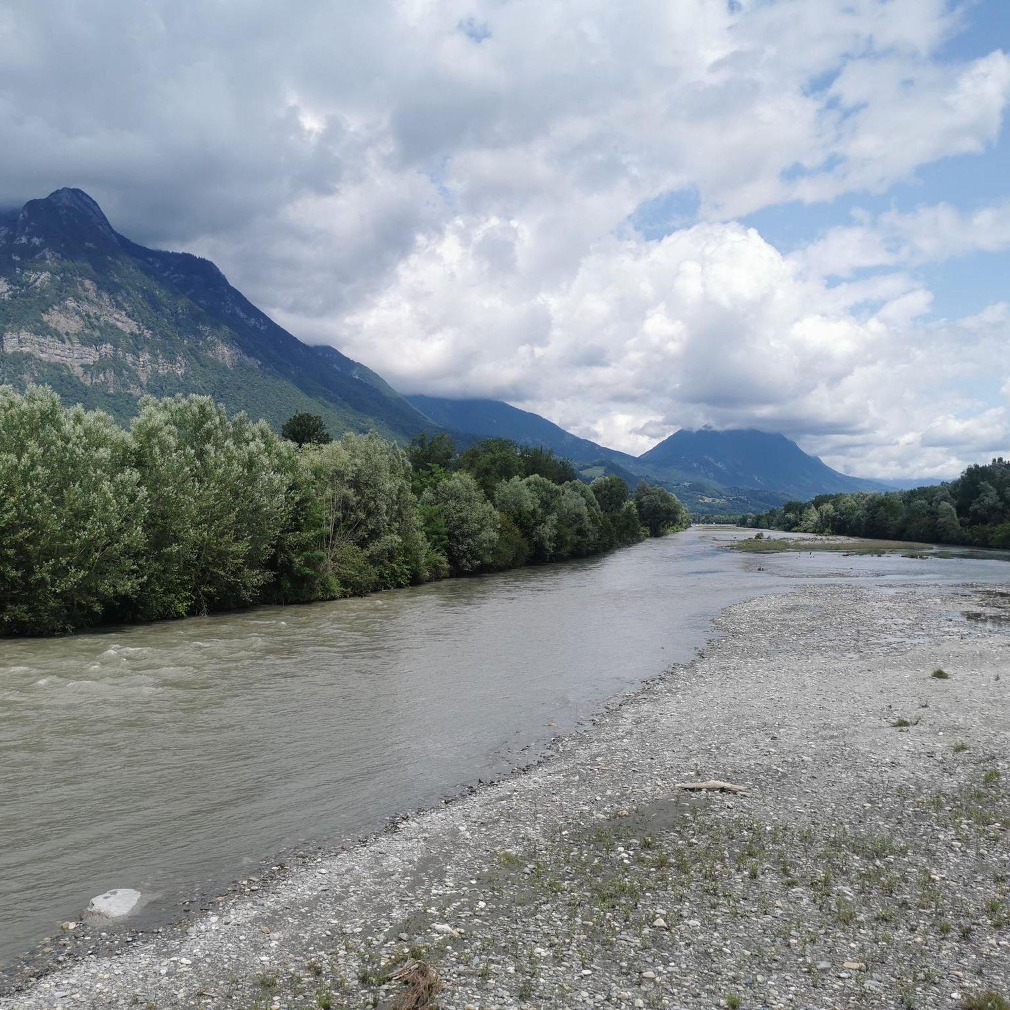
알베르빌에서 약 15km 떨어진 Bella Via를 따라 이상적인 위치에 있으며, 자전거 이용객들은 이곳에 들러 물통을 채우고 더위를 식힐 수 있습니다. 낚시나 테니스와 같은 다른 활동도 이곳에서 할 수 있습니다. 주변 산맥: 북쪽으로는 Bauges, 남쪽으로는 Belledonne과 Vanoise
0
0

The place is clean and pleasant. There's room for everyone: fishermen, walkers, swimmers, cyclists...
0
0
The place is nice and clean. Ideal for fishing and plenty of room for swimming. A greenway runs alongside the pond...
0
0

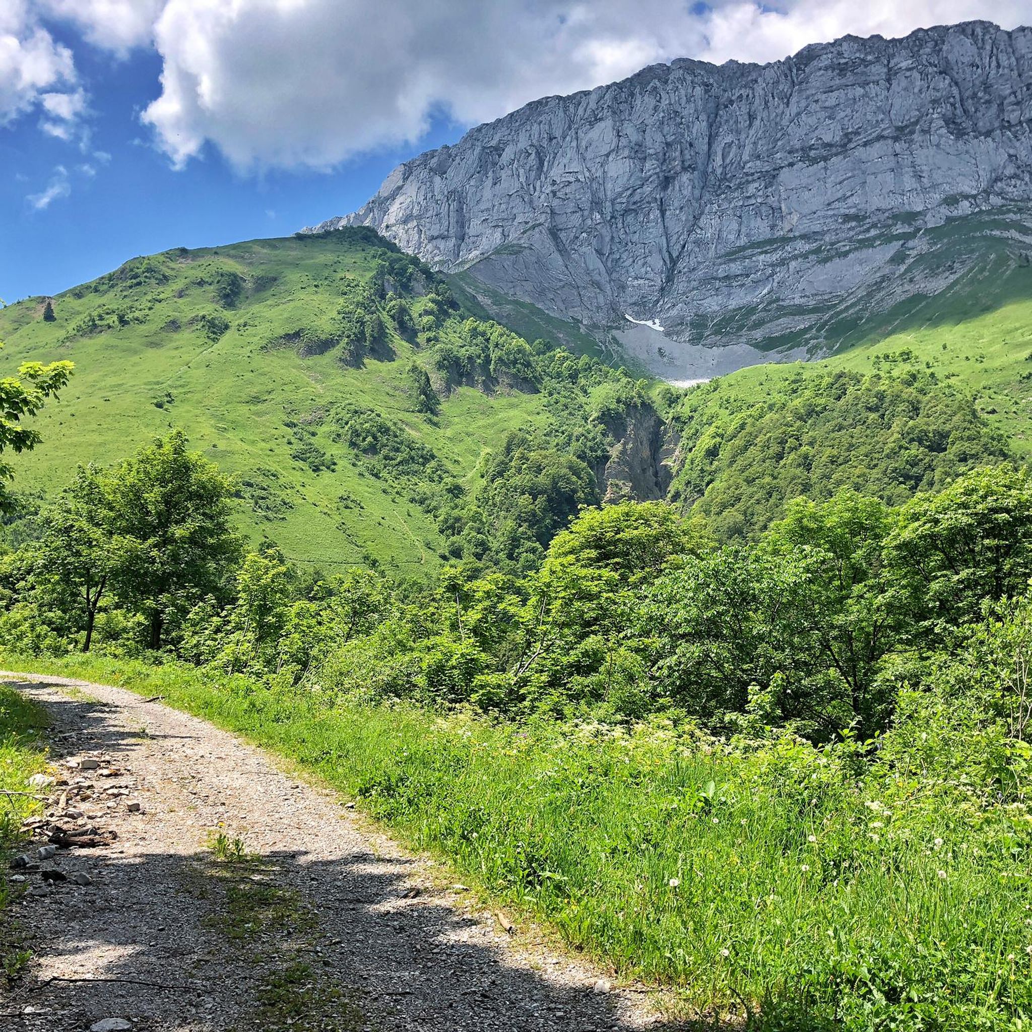
Quiet little road to begin the ascent of the Col du Frêne. Very beautiful view.
0
0
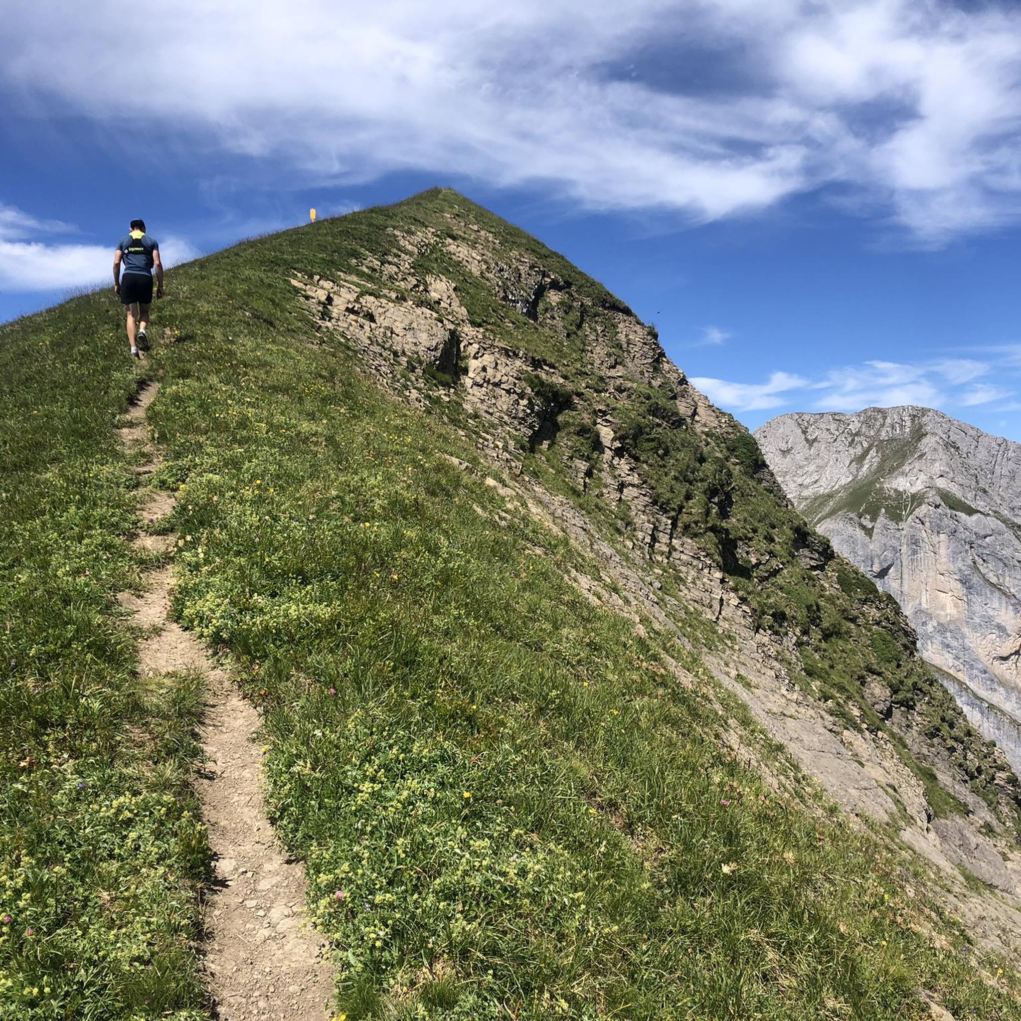
Amazing views on mount blanc, lac d’ annecy and more beautiful landscape! 😍 Attention, only take the path across the ridge to the chalet de L’Alpettaz if you are a really experienced hiker and like to get some adrenaline. It is super narrow and partly really dangerous. After finishing the dangerous part there is high grass through which the hike continues.
1
0

Beautiful pass. The climb is a bit gentler from the north. The descent to the south offers beautiful views of the Isère Valley.
0
0

Col du Frêne from Saint Pierre d'Albigny is a climb in the Annecy region. It is 7.7 kilometres long and has a vertical ascent of 554 metres with an average gradient of 7.2%, implying a difficulty level of 483. The summit of the climb is located at 960 metres
0
0
A hill with a lot of traffic, better on roads that run parallel.
0
0
몽테일뢰르 주변에서 가장 인기 있는 명소


더 살펴보기
찾고 있는 하이라이트를 아직 못 찾으셨나요? 다른 지역의 주요 명소 가이드를 확인해보세요:
