16의 빌레팟가지 명소 & 주요 장소
빌레팟에는 둘러볼 만한 장소가 많답니다. 하이킹 또는 사이클링을 좋아한다면 빌레팟에 숨겨진 16
가지 보석을 만날 수 있을 거예요. 이 지역의 주요 명소를 살펴보면서 다음 모험을 계획해보세요.
마지막 업데이트: 8월 31, 2026


이런 장소를 발견하려면 지금 가입하세요
최고의 싱글 트랙, 봉우리 및 다양한 흥미로운 야외 장소에 대한 추천을 받아보세요.
무료 회원 가입
샤토브리앙에서 루제까지 그린 루트
하이라이트 • 자전거 도로
번역자 Google •
팁에 의해

Rougé-Châteaubriant 자전거 도로
하이라이트 • 기타
팁에 의해

무료로 가입하여 빌레팟 주변의 더 많은 명소를 발견하세요.
무료 회원 가입
이미 komoot 계정이 있나요?
오늘 무료 계정으로 시작하세요
다음 모험이 기다리고 있어요.
로그인 또는 가입하기
커뮤니티 팁

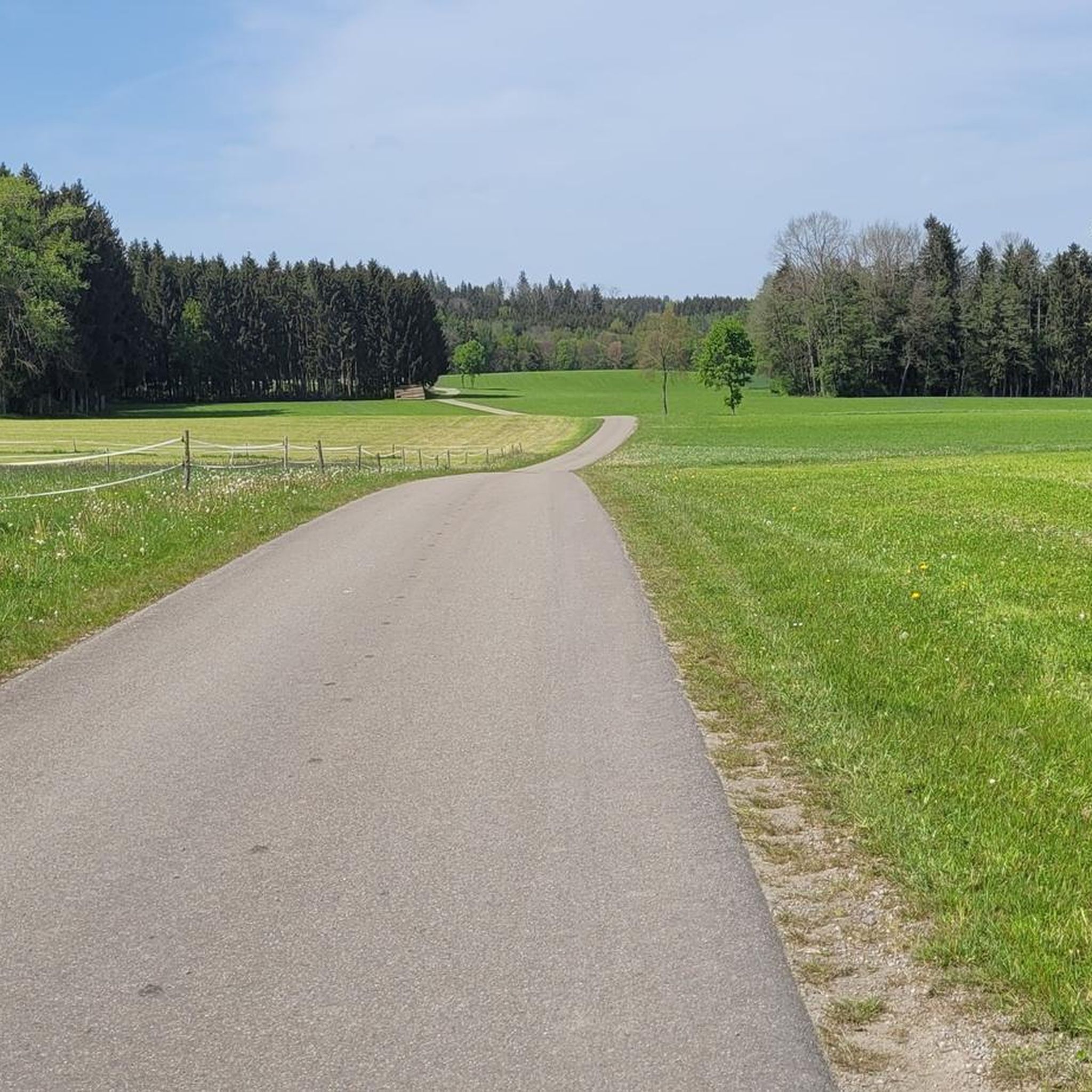
안녕하세요, 관심 장소 • Rougé에서 Châteaubriant까지 이어지는 10km 자전거 도로는 지도상에 올바르게 위치하지 않았습니다 (48°16'19.6"N 1°39'50.1"W). 올바른 좌표는 다음과 같습니다: 47°46'48.7"N 1°27'11.3"W. 진심으로
0
0


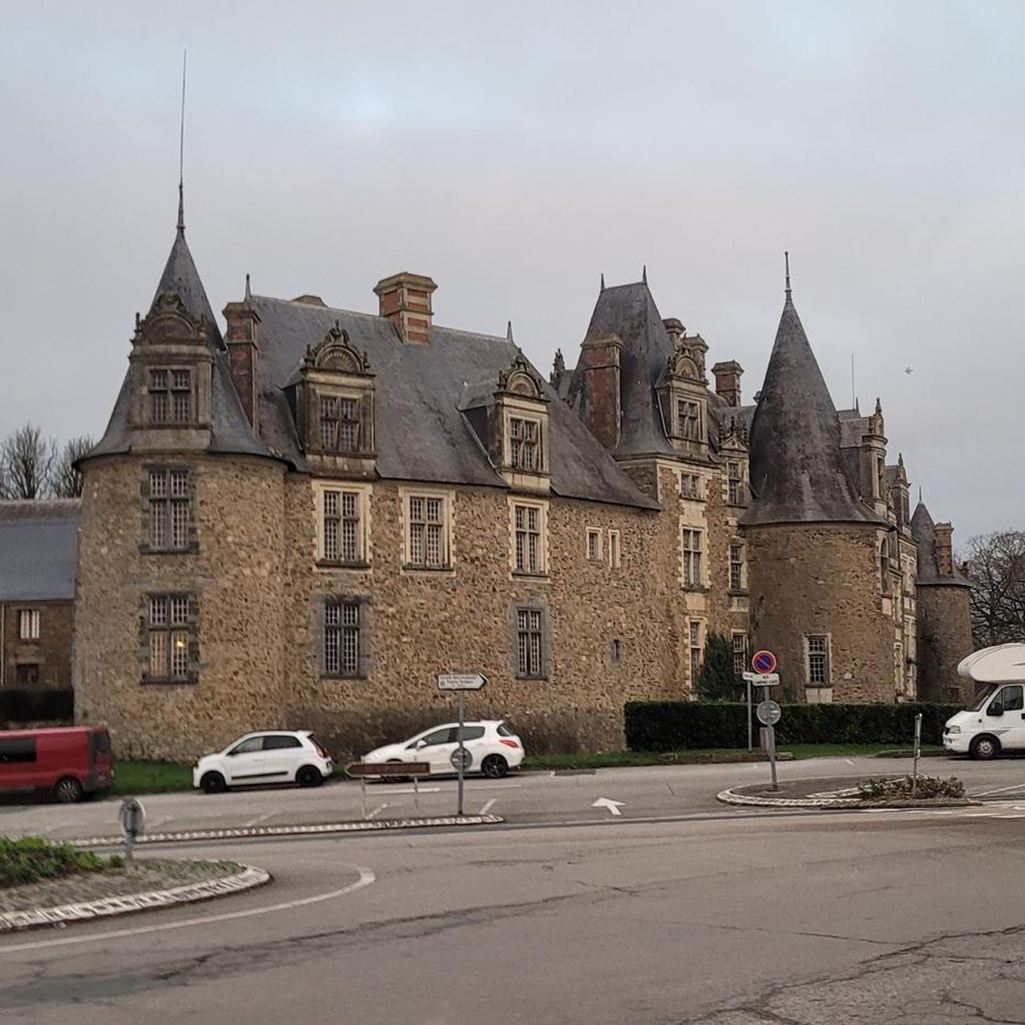
defended Anjou against the Marches of Brittany - besieged several times during the 100 Years' War
0
0

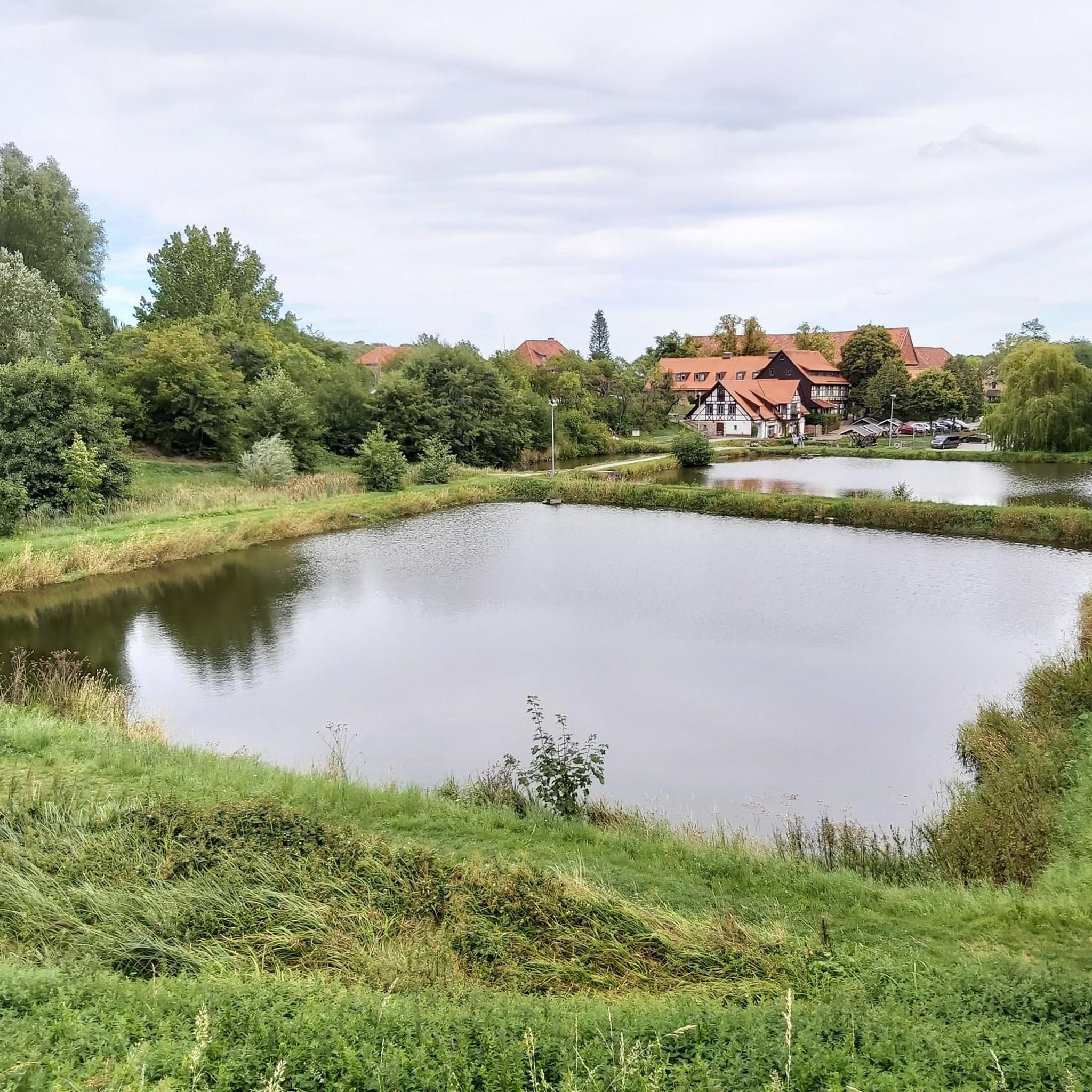
The Saint-Aubin pond, fed by the Verzée, is a pond located in the French commune of Pouancé, in the department of Maine-et-Loire. Probably before the 12th century, the Saint-Aubin pond, covering 42 hectares, is divided into the Saint-Aubin pond, the Saint-Jacques pond and the Pouancé pond. history : From the twelfth century, the priory of Madeleine had fishing tithe rights on the Pouancé ponds. At the beginning of the 13th century, the lord of Pouancé, William III, decided to establish a dike on the Verzée, thus creating the Pouancé pond, at the foot of the medieval castle[3]. A pier was built on the Saint-Aubin pond to allow the parishioners of Pouancé to access the parish church of Saint-Aubin de Pouancé. This levee is, however, often submerged[4]. In 1977, the commune of Pouancé developed the body of water into a nautical base by building a beach and a campsite nearby. source: https://fr.m.wikipedia.org/wiki/%C3%89tang_de_Saint-Aubin
0
0

Pouancé Castle is a fortified castle, surrounded by a moat. It is characterized by imposing walls and round towers. Robust and majestic!
0
0

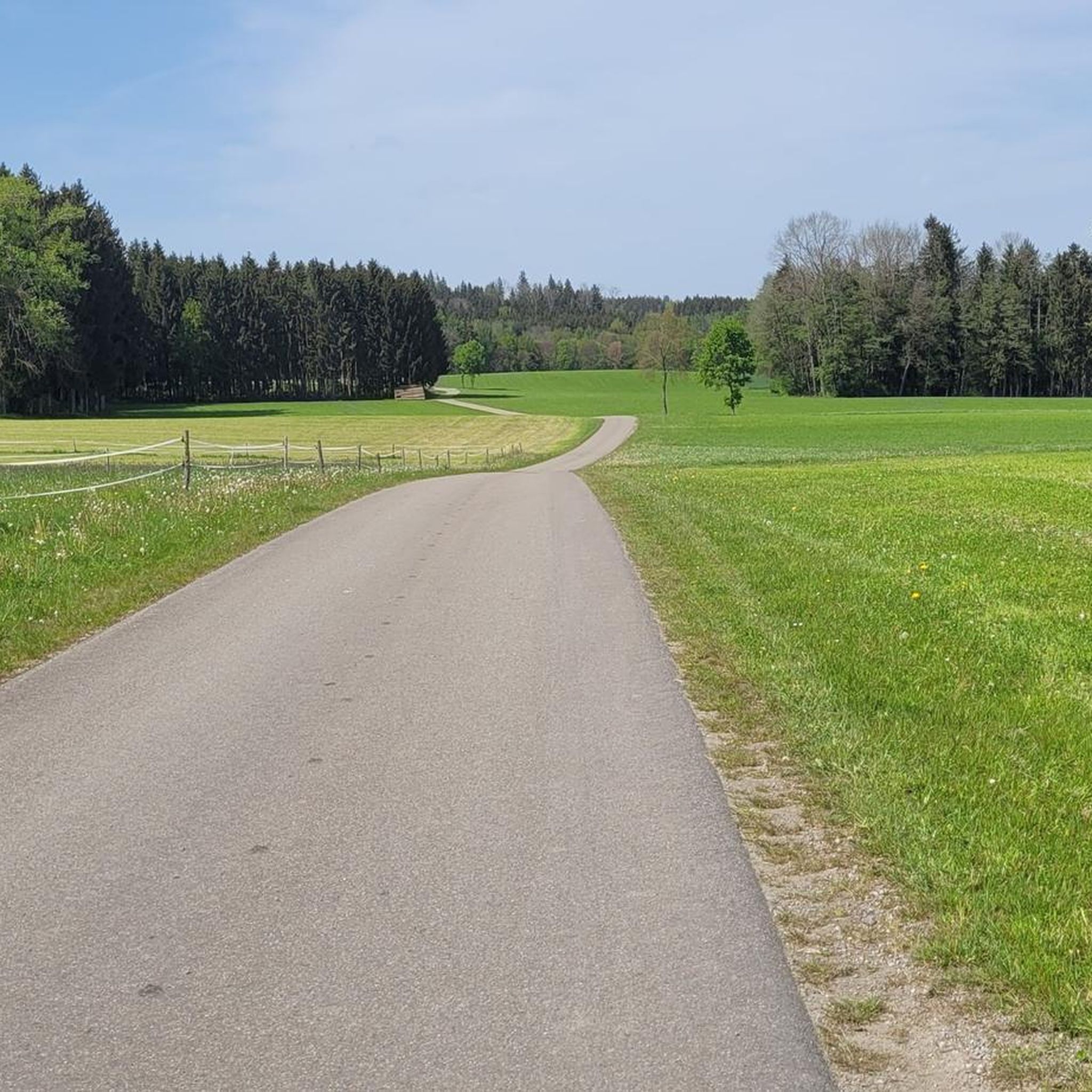
This greenway was built on the old railway line which linked Châteaubriant to Ploërmel. In its heyday at the start of the last century, trains were essentially freight trains that transported iron mined in the region.
0
0

Pouancé Castle is one of the most impressive fortresses in Anjou. You can explore the medieval castle which dates from the 12th century and was a strategic stronghold between the Kingdom of France and the Duchy of Brittany. You can also enjoy the view of Lake Saint-Aubin and the Verzée River, which surround the castle while you run.
2
0
Pouancé Castle is one of the most impressive fortresses in Anjou. You can explore the medieval castle which dates from the 12th century and was a strategic stronghold between the Kingdom of France and the Duchy of Brittany. You can also enjoy the view of Lake Saint-Aubin and the Verzée River, which surround the castle. The castle is open for guided tours from mid-June to mid-September, Tuesday to Saturday at 10:30 a.m.
2
0


더 살펴보기
찾고 있는 하이라이트를 아직 못 찾으셨나요? 다른 지역의 주요 명소 가이드를 확인해보세요:
