20의 아바레츠가지 명소 & 주요 장소
아바레츠에는 둘러볼 만한 장소가 많답니다. 하이킹 또는 사이클링을 좋아한다면 아바레츠에 숨겨진 20
가지 보석을 만날 수 있을 거예요. 이 지역의 주요 명소를 살펴보면서 다음 모험을 계획해보세요.
마지막 업데이트: 8월 26, 2026
노르 쉬르 에르드르 항구
하이라이트 • 기타
번역자 Google •
팁에 의해

낭트 브레스트 운하의 리삭 제방
하이라이트 • 기타
번역자 Google •
팁에 의해

이런 장소를 발견하려면 지금 가입하세요
최고의 싱글 트랙, 봉우리 및 다양한 흥미로운 야외 장소에 대한 추천을 받아보세요.
무료 회원 가입
낭트-브레스트 운하의 파 데리크 갑문
하이라이트 • 구조물
번역자 Google •
팁에 의해

오늘 무료 계정으로 시작하세요
다음 모험이 기다리고 있어요.
로그인 또는 가입하기

커뮤니티 팁

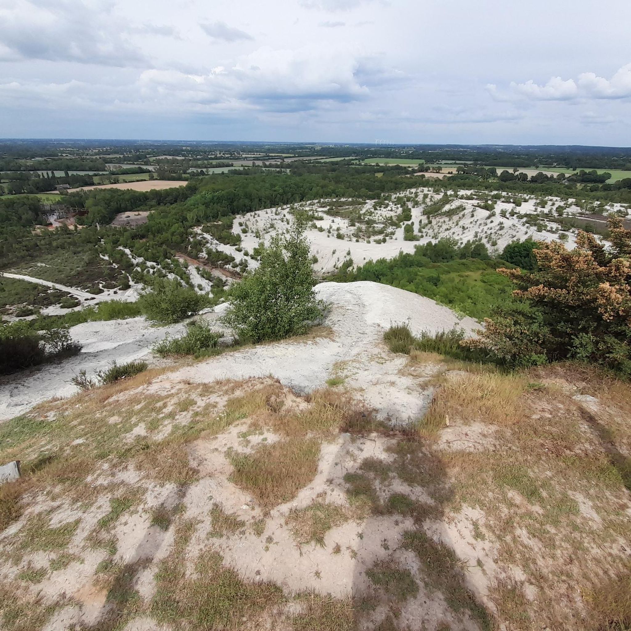
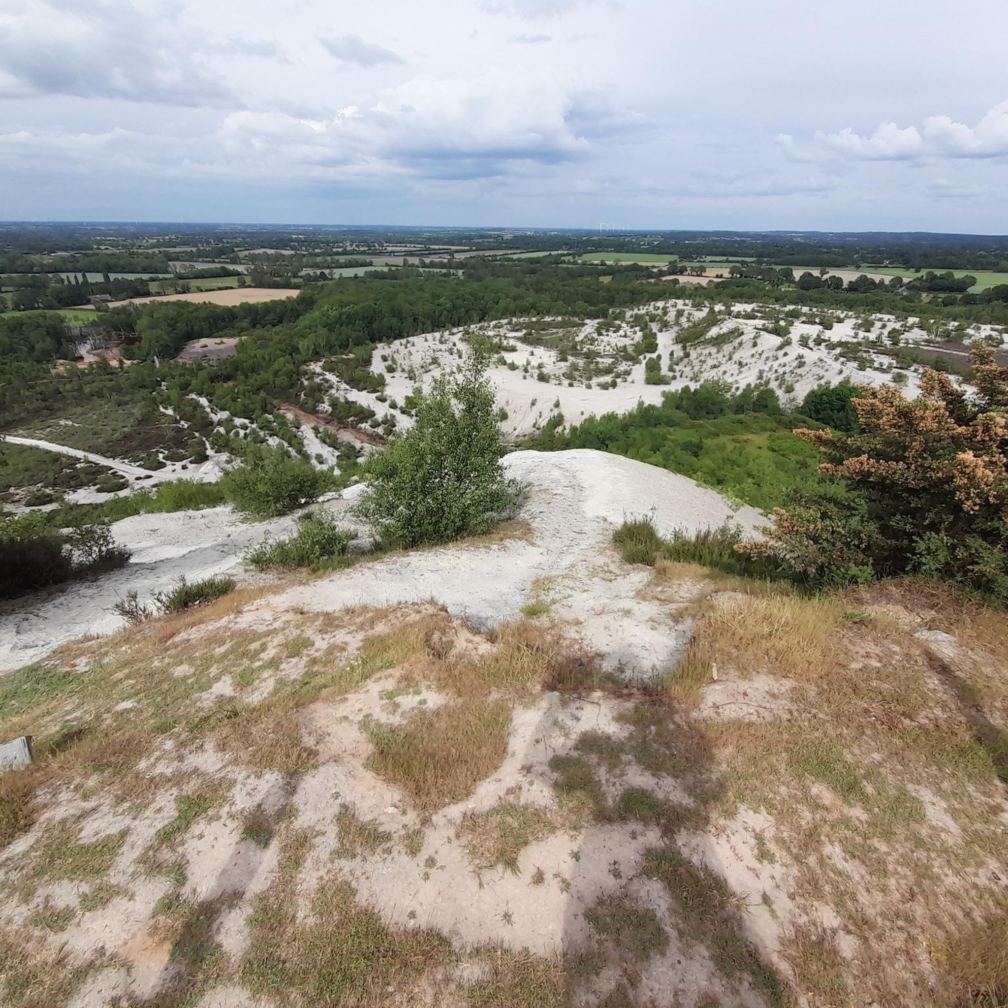
While the ascent of the slag heap is flat and gently uphill in its first part, it is followed by a long, steeper section of walking before reaching the summit. It is clearly stated that descending via any route other than the designated access point is strongly discouraged due to the risk of rockfalls.
0
0

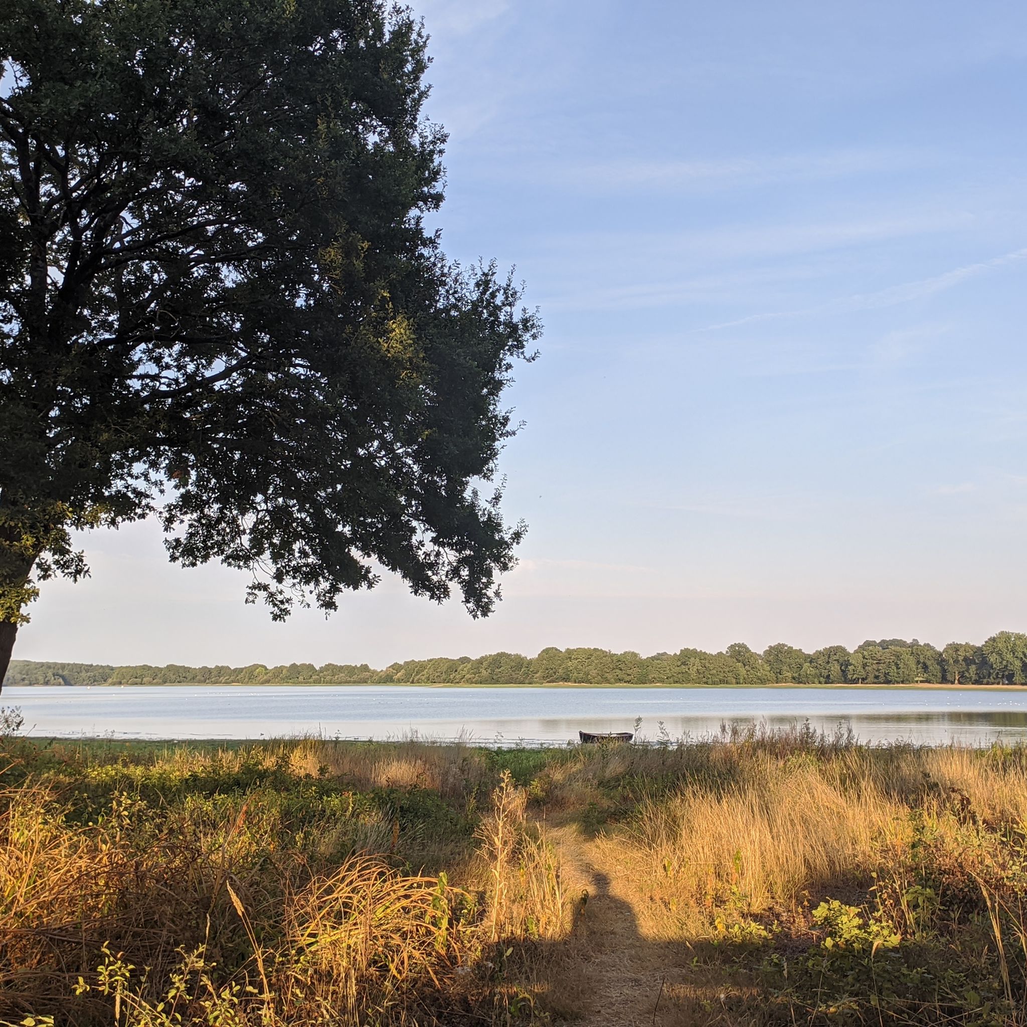
Also known as the "basin," the port of Nort-sur-Erdre is a lively, historic neighborhood that's a great place to stop off. At the foot of the Saint-Georges Bridge, which separates the wild Erdre from the navigable Erdre, the marina is now a popular place for walking and fishing. Free Wi-Fi access near the Tourist Office Contact the harbor master's office for an extended stay; the first two nights are free. Open year-round Type of facility: Slipway - River stopover - Pontoon - Marina Payment methods: Bank and postal checks Access location: Nort-sur-Erdre train station: 1 km Languages spoken: French Facilities: Picnic area - Restrooms - Services - Playground
0
1

One of the most beautiful areas between Blain and Nort.
1
0
This is lock number 6 coming from Nantes
2
0

What we'd heard about Brittany was that it's supposed to have lots of forests, a special kind of people, and nature beyond nature. But we weren't expecting such a beautiful little town, and as for the special Bretons – they're just super friendly!
0
0


The Canal de Nantes à Brest, opened in 1842, is a French shipping canal that connects the Loire near Nantes with the Bay of Rade de Brest Along this blue ribbon, which stretches for 360 kilometers, no fewer than 236 locks interrupt the movement of boats traveling on the canal. The watercourse winds through the most beautiful valleys in Brittany and connects the rivers Erdre, Isac, Oust, Blavet, Doré, Hyère and Aulne.
1
0
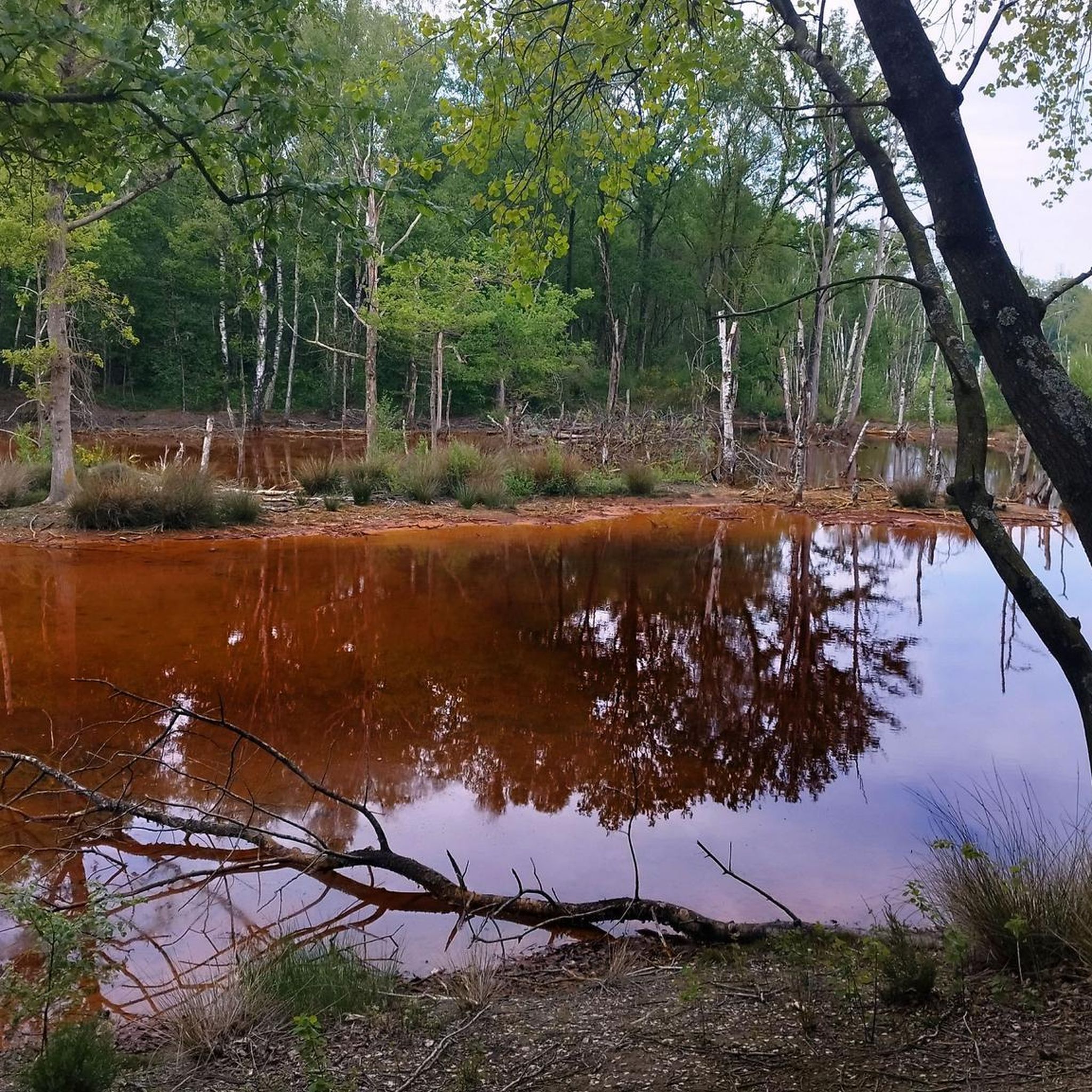
"The feed channel or" Small Canal "with a length of 21.3 km connects the Vioreau reservoir to the Nantes-Brest Canal. It allows the water supply to the first section of the Canal to compensate for the drop in level due locks and evaporation. Its construction - 1833 to 1836 - is a technical masterpiece, a slope of only 14 cm / km, four aqueducts, a 600 m underground passage, many small picturesque stone bridges, washhouses ... " From a cycling point of view, the path that runs along the canal is most of the time a simple single, in places grassy. Suitable for gravel and therefore mountain biking. On the other hand, I would not do the section between the Pas d'Héric and the Patis Blondin with children, the path passing near the water on numerous occasions. On foot, no worries.
2
0
아바레츠 주변에서 가장 인기 있는 명소


더 살펴보기
찾고 있는 하이라이트를 아직 못 찾으셨나요? 다른 지역의 주요 명소 가이드를 확인해보세요:
