20의 목소리가지 명소 & 주요 장소
목소리에는 둘러볼 만한 장소가 많답니다. 하이킹 또는 사이클링을 좋아한다면 목소리에 숨겨진 20
가지 보석을 만날 수 있을 거예요. 이 지역의 주요 명소를 살펴보면서 다음 모험을 계획해보세요.
마지막 업데이트: 10월 18, 2026
칸스의 협곡과 계곡
하이라이트 (구간) • 협곡
번역자 Google •
팁에 의해


이런 장소를 발견하려면 지금 가입하세요
최고의 싱글 트랙, 봉우리 및 다양한 흥미로운 야외 장소에 대한 추천을 받아보세요.
부르크-아르젠의 생 앙드레 교회
하이라이트 • 기타
번역자 Google •
팁에 의해

비아 플루비아의 곡선 구간
하이라이트 (구간) • 등반
Nicely landscaped, it nonetheless remains a pleasant little climb that lasts only a very short time.
번역자 Google •
팁에 의해


오늘 무료 계정으로 시작하세요
다음 모험이 기다리고 있어요.


커뮤니티 팁

어떤 정보를 찾을 수 있는지 흥미롭네요. 즉, 자금 부족은 현대의 발명품이 아니라는 것이죠. "1835년 시의회는 교회를 확장하기로 결정했지만, 도시에 있는 신자 수에 비해 수용 인원이 너무 적다는 것을 알게 되었습니다. 자금 부족으로 인해 도네(Donnet) 추기경의 지원을 받아 진행된 공사는 1853년까지 이어졌습니다."
0
0

A massive, stone-built base supports the "Croix de Chirole," a symbol commemorating the crucifixion and resurrection of Jesus Christ, crowning the summit plateau. The two wooden beams of this small sacred monument clearly show the effects of wind and weather. The large body of the crucified Christ, however, whose light color clearly stands out against the background of the dark beams, appears to have been relatively recently restored or perhaps even renewed.
0
0


Due to land constraints, the Via Fluvia has no choice but to follow a gradient of approximately 18% on this section. Nicely landscaped, it nonetheless remains a pleasant little climb that lasts only a very short time.
2
0

The Via Fluvia is a cycle route of more than 80 km developed and secured through the Loire, Haute-Loire and Ardèche. Recognizable by the diversity of its landscapes, this route, which follows an old railway line, is accessible to as many people as possible (bicycles, pedestrians, scooters, etc.).
0
0

Super nice route by bike. Tarred throughout and therefore also great for racing cyclists! Coming from Annonay, you first drive briefly on the normal road and turn off it before it leads uphill again (and becomes multi-lane). Then comes this stretch that doesn't want to end and looks like a little paradise: the stream called below, trees, birds, shady passages, no traffic, gentle gradient, .... Can certainly also be driven uphill very well. Be sure to plan!
1
1

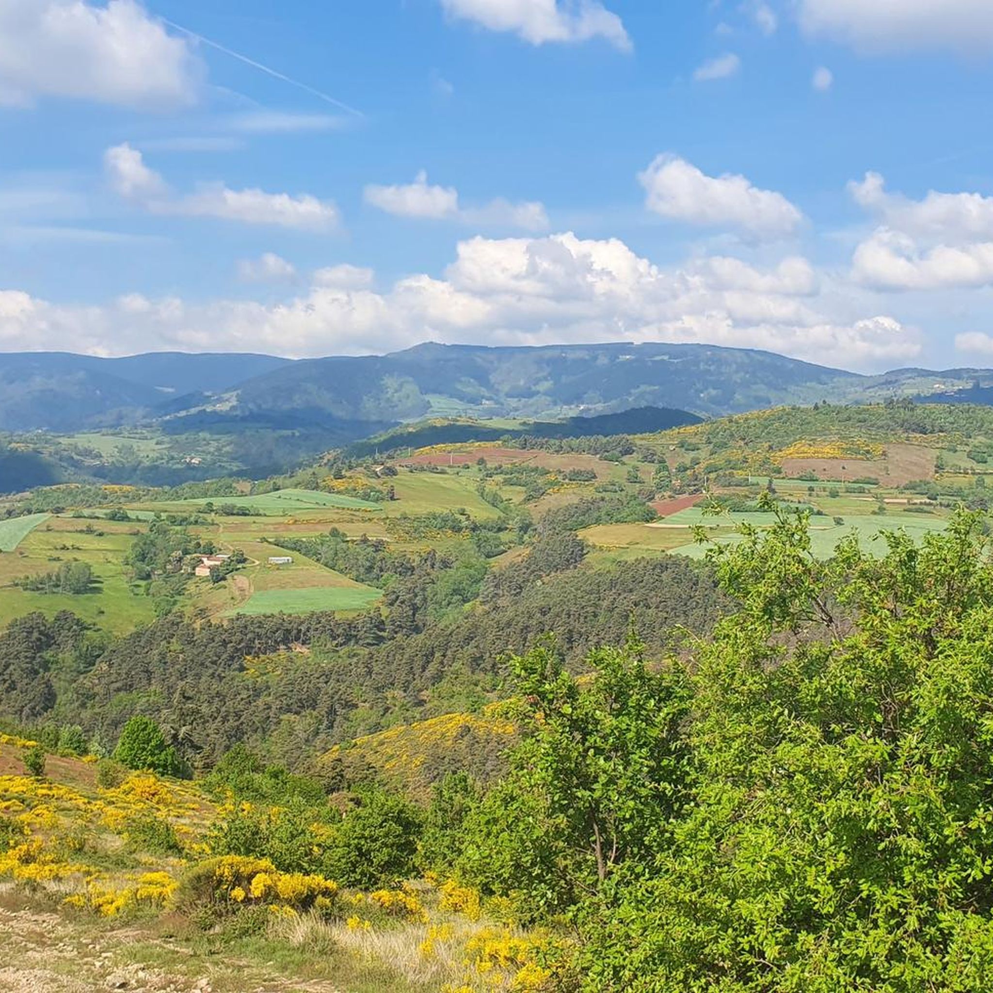
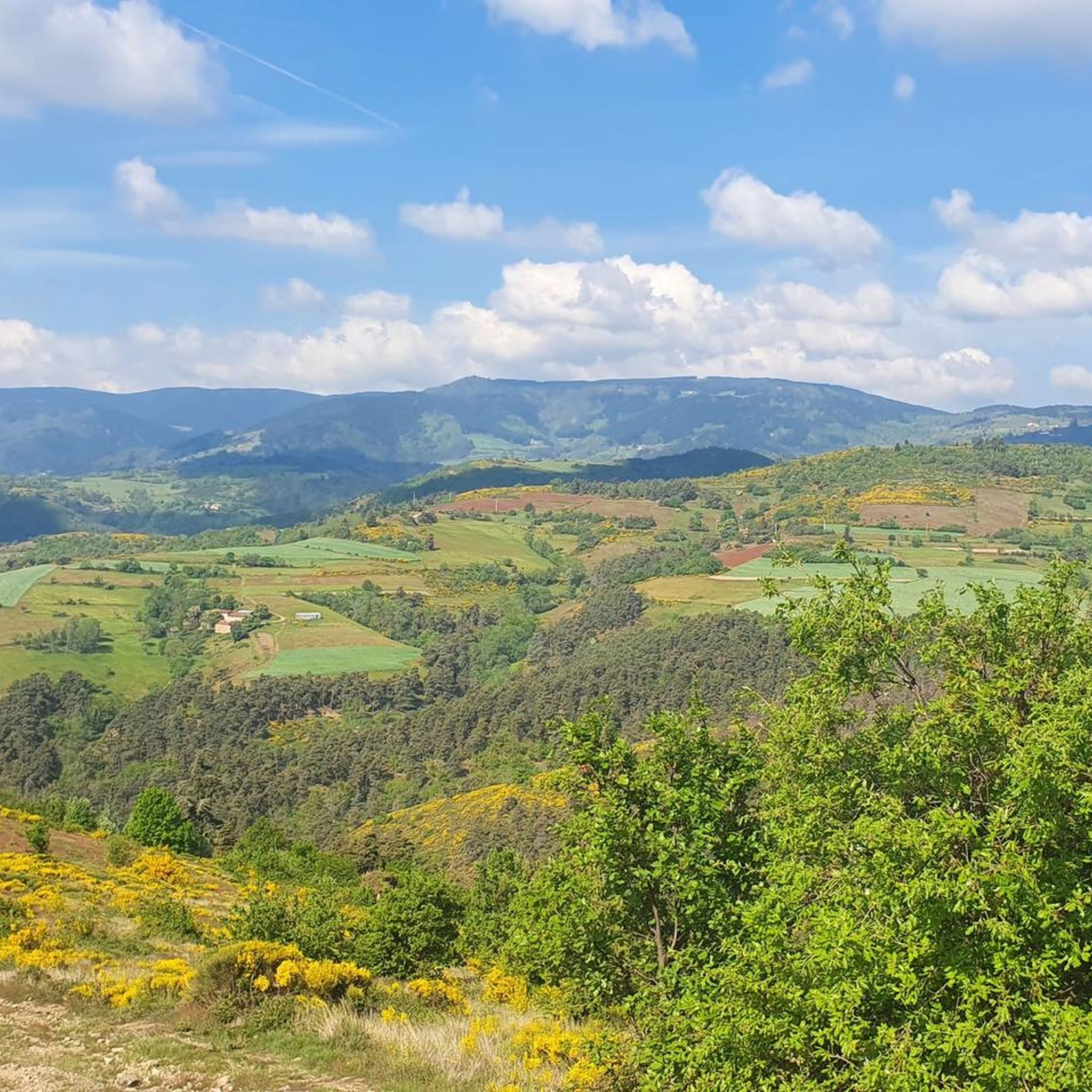
From its 915 meters, you can see through three valleys, the central massif and the Alps. Stunning panoramas.
3
0

The Col du Rouvey from Satilleu is 15.5 km long with a total drop of 768 m. The average gradient is 4.95% with maximum gradients of 6.8%.
1
0
목소리 주변에서 가장 인기 있는 명소


더 살펴보기
찾고 있는 하이라이트를 아직 못 찾으셨나요? 다른 지역의 주요 명소 가이드를 확인해보세요:
