20의 네이가지 명소 & 주요 장소
네이에는 둘러볼 만한 장소가 많답니다. 하이킹 또는 사이클링을 좋아한다면 네이에 숨겨진 20
가지 보석을 만날 수 있을 거예요. 이 지역의 주요 명소를 살펴보면서 다음 모험을 계획해보세요.
마지막 업데이트: 8월 30, 2026

이런 장소를 발견하려면 지금 가입하세요
최고의 싱글 트랙, 봉우리 및 다양한 흥미로운 야외 장소에 대한 추천을 받아보세요.
무료 회원 가입


Pertes de l'Ain
하이라이트 • 강
번역자 Google •
팁에 의해
무료로 가입하여 네이 주변의 더 많은 명소를 발견하세요.
무료 회원 가입
이미 komoot 계정이 있나요?
오늘 무료 계정으로 시작하세요
다음 모험이 기다리고 있어요.
로그인 또는 가입하기
커뮤니티 팁

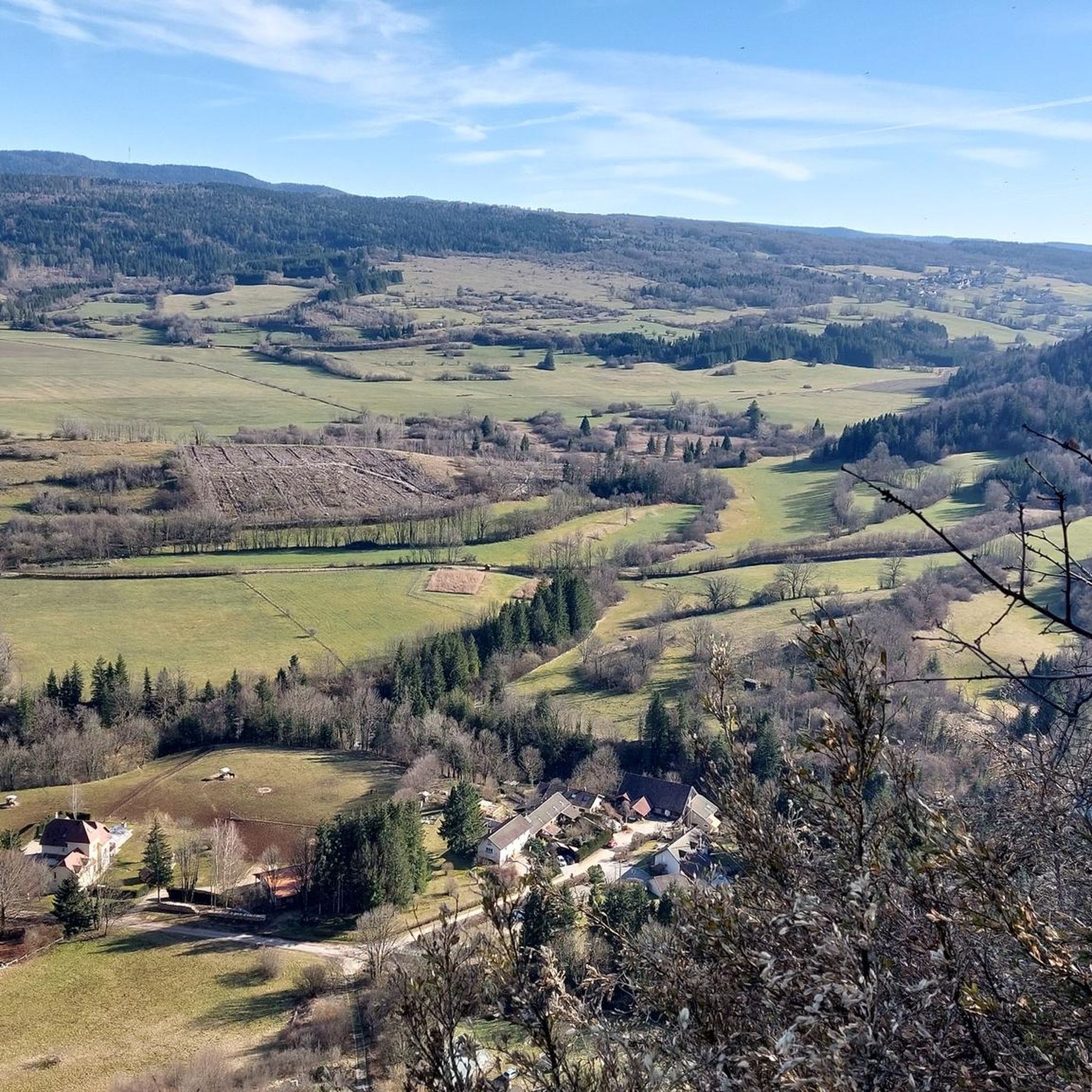
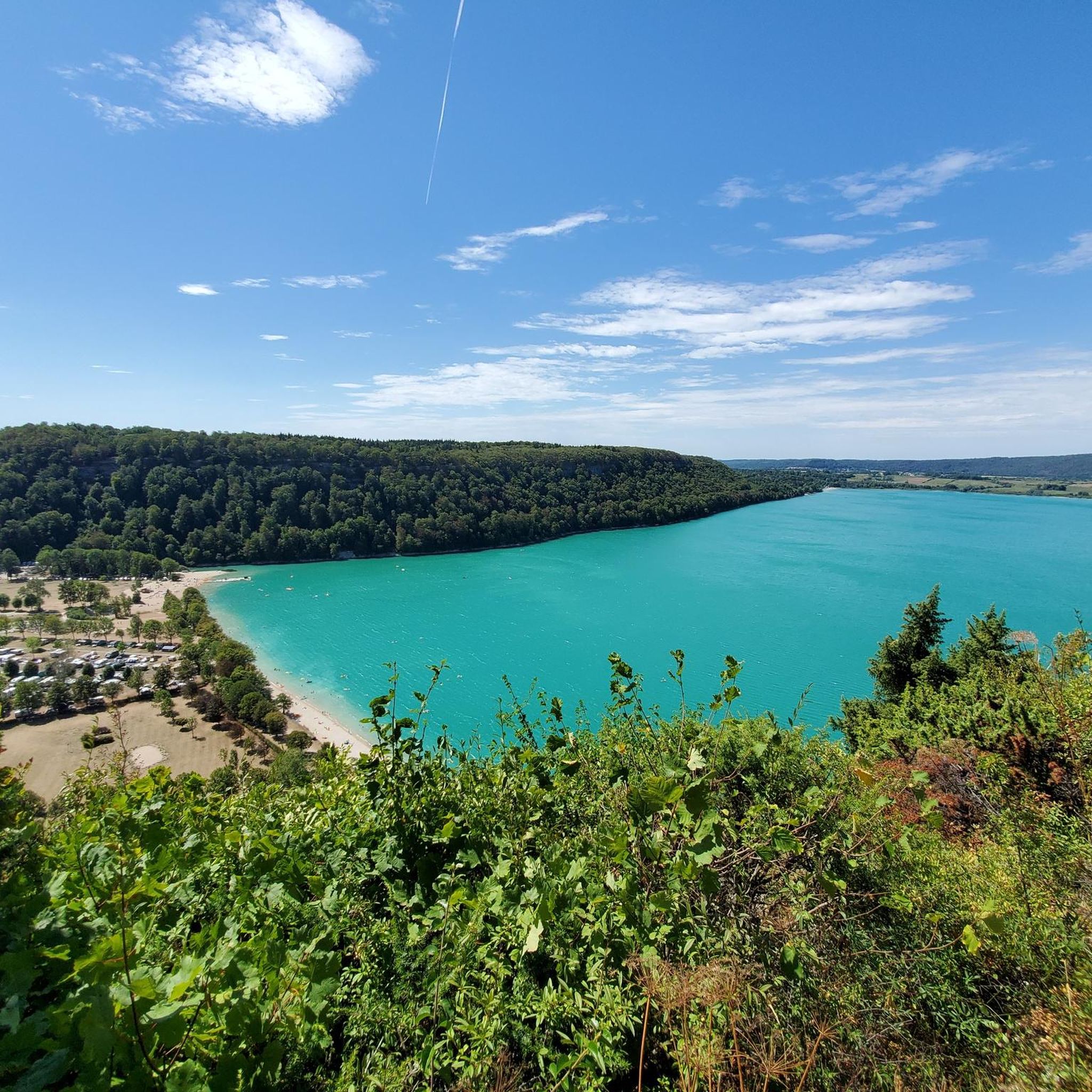
🌿 Lake Narlay: Essential Information Location: Frasnois municipality, in the Lakes Region (Jura). Altitude: 748 m. Surface area: 41 ha. Depth: Up to 40 m, making it the deepest lake in the Jura. Origin: Glacial lake, likely formed by a rockfall. Environment: Meadows, forests, peat bogs, Natura 2000 and Ramsar sites. (Copilot)
0
0

Lac de Narlay is a lake in the Jura department of France, about 10 km south of Champagnole in Franche-Comté. It lies at an altitude of 748 m in the municipality of Le Frasnois and covers an area of approximately 0.4 km². The lake is 950 m long and 625 m wide. Its maximum depth is 40 m.
6
0
Lacs de Maclu are two adjacent lakes in the western part of the French Jura, in the Jura department of Franche-Comté. They are located at an elevation of 779 m in a depression in the High Jura, in the region of the Five Lakes near Le Frasnois, about 12 km south of Champagnole. The Petit Maclu, located to the northeast, has an area of 5 hectares, a length of about 500 m, and a maximum width of about 120 m. Its greatest depth is 11 m. It lies entirely within the municipal territory of Le Frasnois.
6
0

Easy, shaded path, perfect for cooling off in hot weather.
0
0

On most maps it is called "Lac d’Ilay". The other name probably comes from the small island "Île de la Motte" which is located in the lake.
1
0

Very nice on the way back along the south of the lake
1
0

It is a natural lake of glacial origin with a wild appearance. This lake will surprise you with its turquoise shores on a clear day and its cliffs in the background. It is otherwise known as Lake Ilay. With an area of 72 hectares and an average depth of ten meters, it is fed mainly by Lake Grand Maclu, to which it is connected by a small natural canal approximately 200 meters long. Possible activities: Hiking (tour of the three lakes/four lakes) and mountain biking (tour of the five lakes), horse riding, holiday activities and entertainment... Swimming is tolerated, under your own responsibility.
1
0

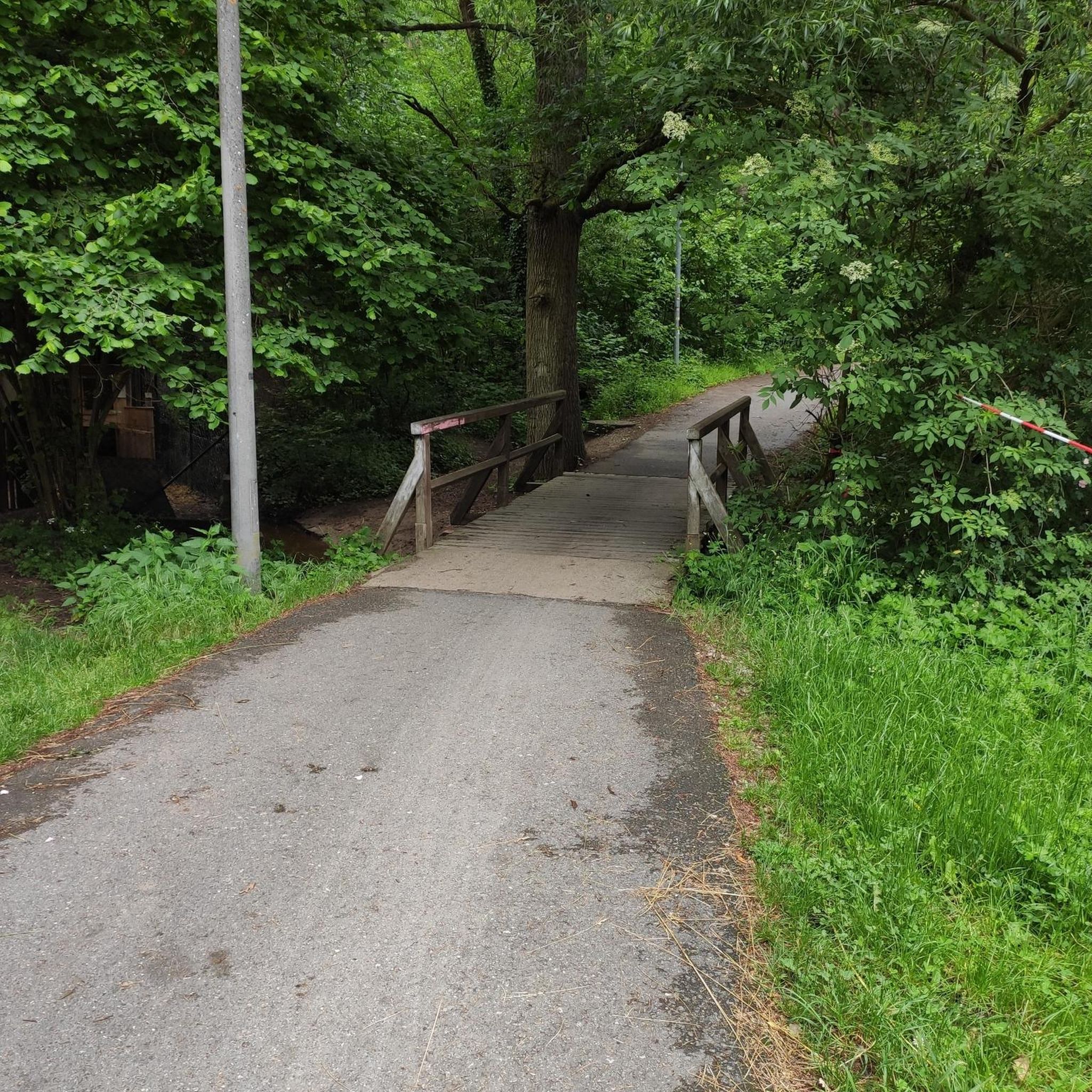
A short walk through the footbridges and belvederes that line the Ain after its departure, magnificent scenery
0
0
네이 주변에서 가장 인기 있는 명소


더 살펴보기
찾고 있는 하이라이트를 아직 못 찾으셨나요? 다른 지역의 주요 명소 가이드를 확인해보세요:
