경로

플래너

기능

업데이트

App

로그인 또는 가입

앱 다운로드

로그인 또는 가입

경로
하이킹
독일
노스라인-웨스트팔렌
라인-에르프트-크라이스

베드버그

베드버그 최고의 워킹 & 하이킹 경로

4.5

(11762)

40,035

등산객

207

하이킹

Komoot에 등록된 베드버그 내 트레일 및 경로 컬렉션 중에서 하이킹과 워킹을 가장 멋지게 즐길 수 있는 곳을 알려드릴게요. 아래에서 각 경로의 상세 정보를 모두 확인한 후, 베드버그 속 자연에서 즐거운 시간을 누려보세요.

마지막 업데이트: 7월 2, 2026

4.6

(424)

1,357

등산객

#1.

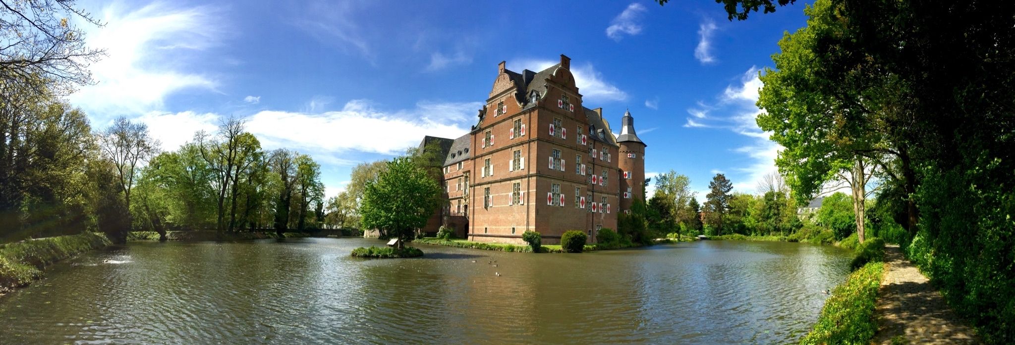
Bedburg (Erft)에서 출발하는 카스테러 호수 – 아가타 문(알트-카스터) 순환 코스

13.7km

03:32

70m

70m

보통 하이킹. 좋은 체력 필요. 실력과 관계없이 누구나 쉽게 갈 수 있는 길.

기기에서 길안내

휴대폰으로 전송

저장

보통

보통 하이킹. 좋은 체력 필요. 실력과 관계없이 누구나 쉽게 갈 수 있는 길.

보통
guide_signup
저희가 komoot 모바일 앱로 길을 안내해 드리겠습니다.
무료 komoot 계정로 끝없는 야외 모험을 손쉽게 찾고, 맞춤 설정하며 길안내할 수 있어요.

무료 회원 가입

초급용 하이킹. 모든 체력 수준에 적합. 실력과 관계없이 누구나 쉽게 갈 수 있는 길.

초급

초급용 하이킹. 모든 체력 수준에 적합. 실력과 관계없이 누구나 쉽게 갈 수 있는 길.

초급

보통 하이킹. 좋은 체력 필요. 실력과 관계없이 누구나 쉽게 갈 수 있는 길.

보통
무료 회원 가입 후 베드버그 주변 하이킹 경로를 203개 더 확인하세요

더 다양한 경로와 다른 탐험가들의 추천을 살펴보세요.

무료 회원 가입

이미 komoot 계정이 있나요?

투어 추천은 다른 사람들이 komoot에서 완료한 수천 개의 활동을 바탕으로 구성되어 있습니다.

오늘 무료 계정으로 시작하세요

다음 모험이 기다리고 있어요.

로그인 또는 가입하기

베드버그 주변 인기 장소

독일의 성 지역을 통과하는 사이클링 — 라인에서 아이펠로, 그리고 다시 돌아오기
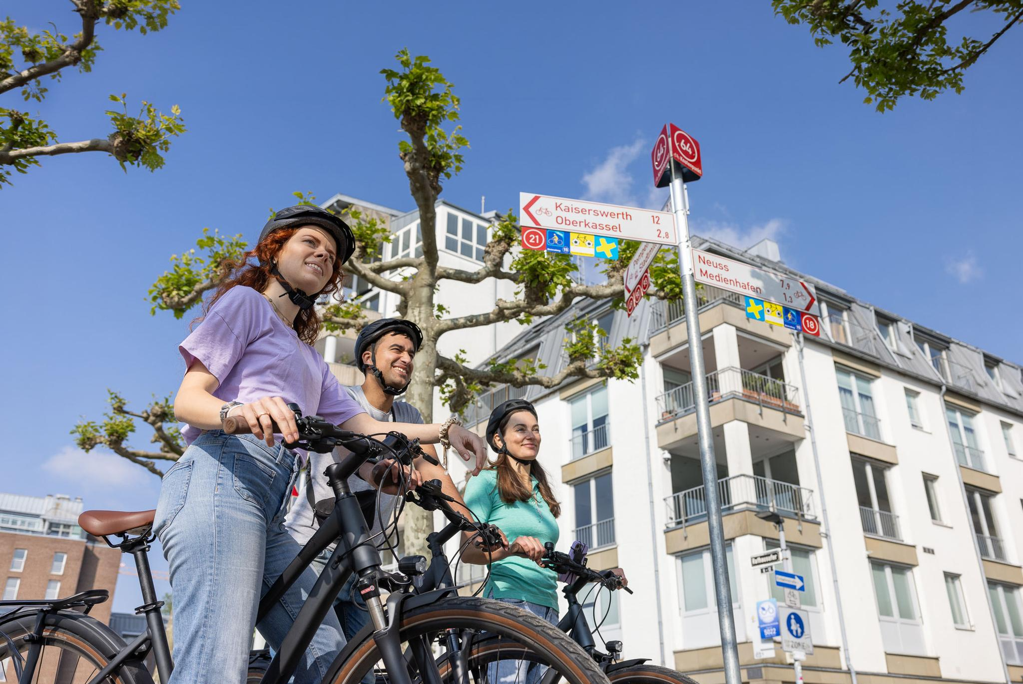
Cycling by Numbers – flexible rides in the Radregion Rheinland
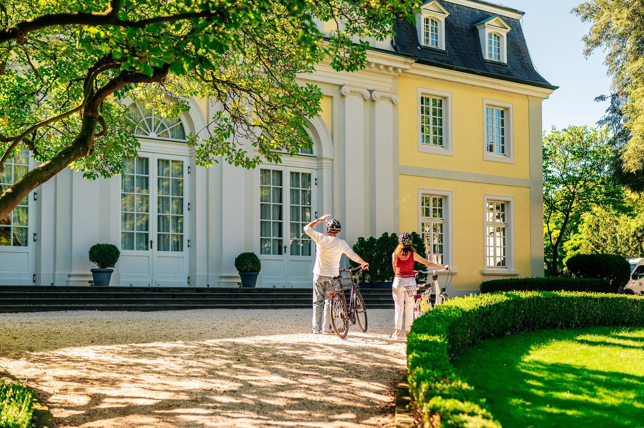
History in the Rhineland – cycling in the Rhineland cycling region
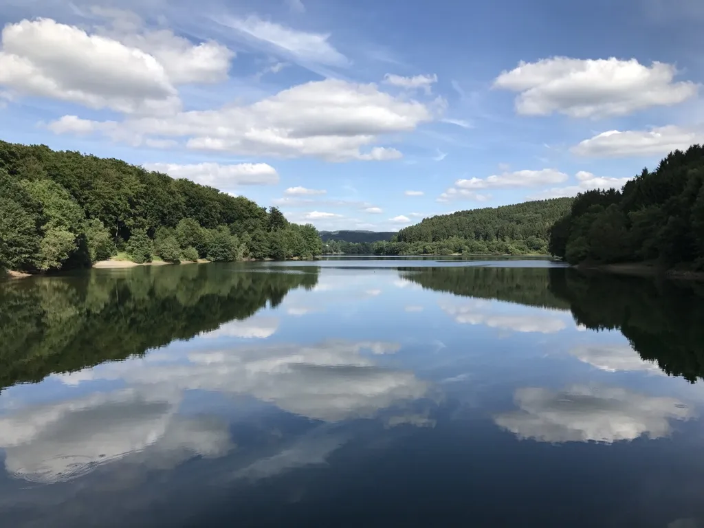
Auszeiten im Grünen – Entspannte Wanderungen im Rheinland
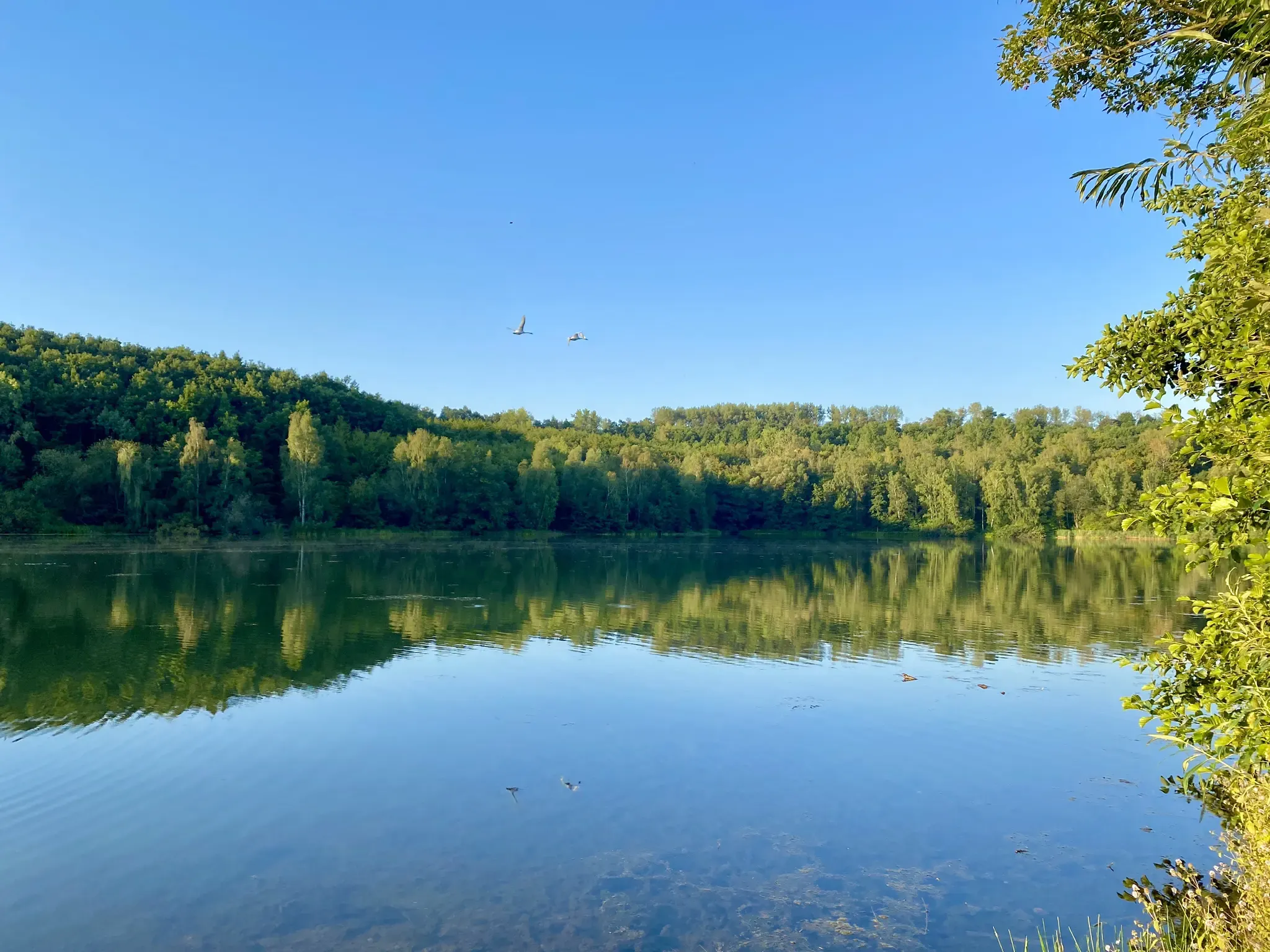
Mit Rosbacher auf Tour im Rheinland
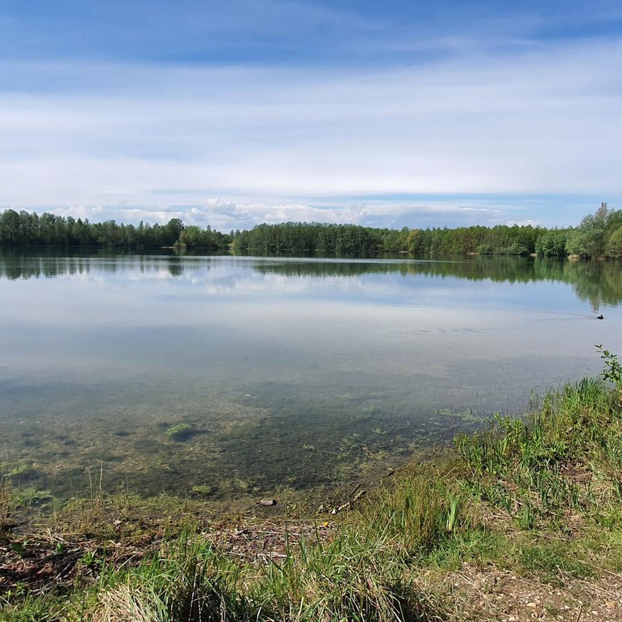
베드버그 사이클링
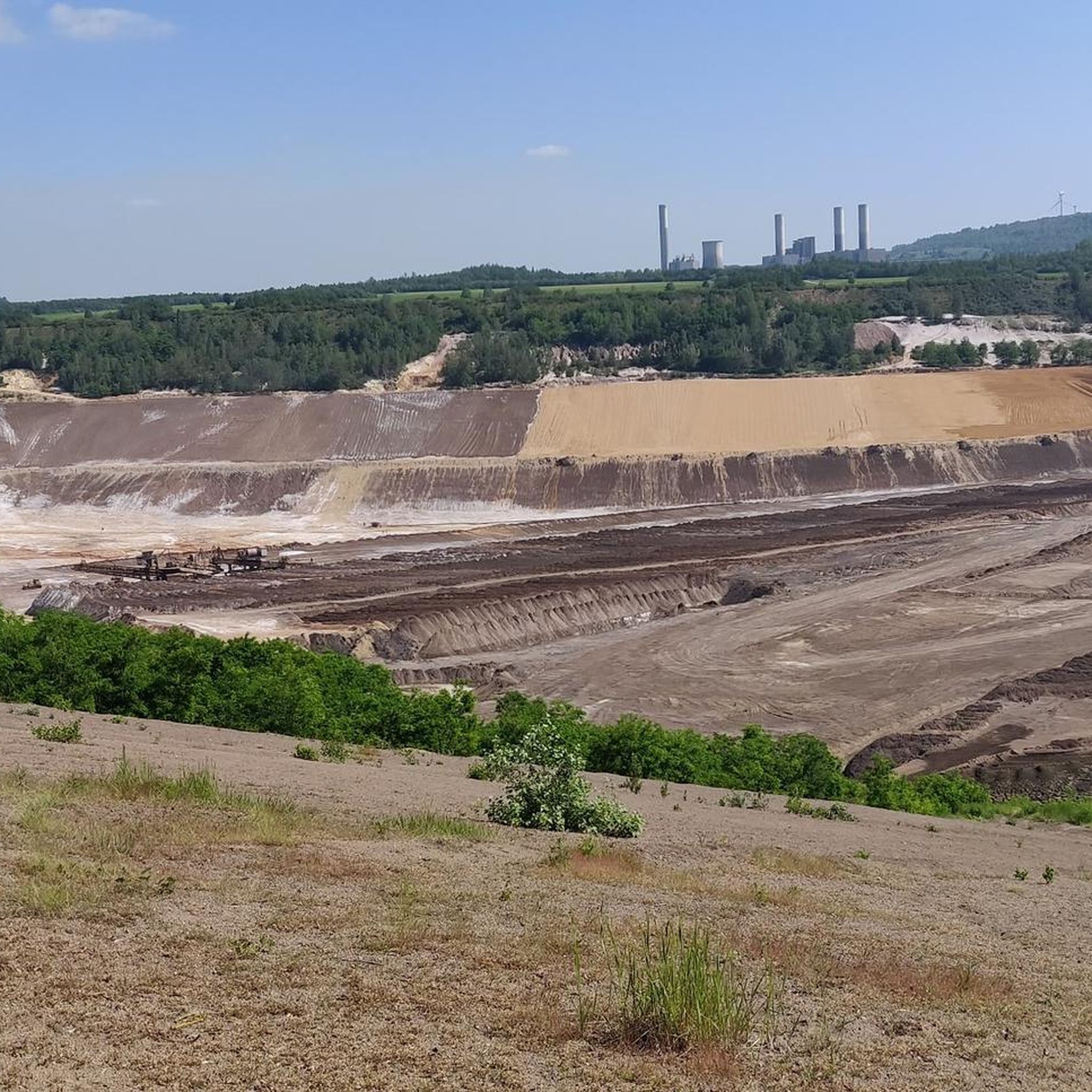
베드버그 러닝 트레일
베드버그 로드 사이클링 경로
베드버그 MTB 트레일

베드버그 주변 그래블 라이딩

베드버그 주변의 다른 모험

독일의 성 지역을 통과하는 사이클링 — 라인에서 아이펠로, 그리고 다시 돌아오기

사이클링 컬렉션 에 의해

Wasserburgen-Route

커뮤니티 팁

Friedrich
2월 5, 2025, Kasterer See

A walk around Lake Kaster is always appropriate!

번역: Google

0

0

Very nice views of the lake and some benches to sit and enjoy.

번역: Google

0

0

The werewolf hiking trail is worthwhile for young and old. The 10-kilometer trail between Alt-Kaster and Bedburg tells the story of the werewolf "Stubbe," who is said to have wreaked havoc here in the 16th century. And if you solve the riddle correctly at the end of the trail, a "treasure" awaits you...

번역: Google

2

0

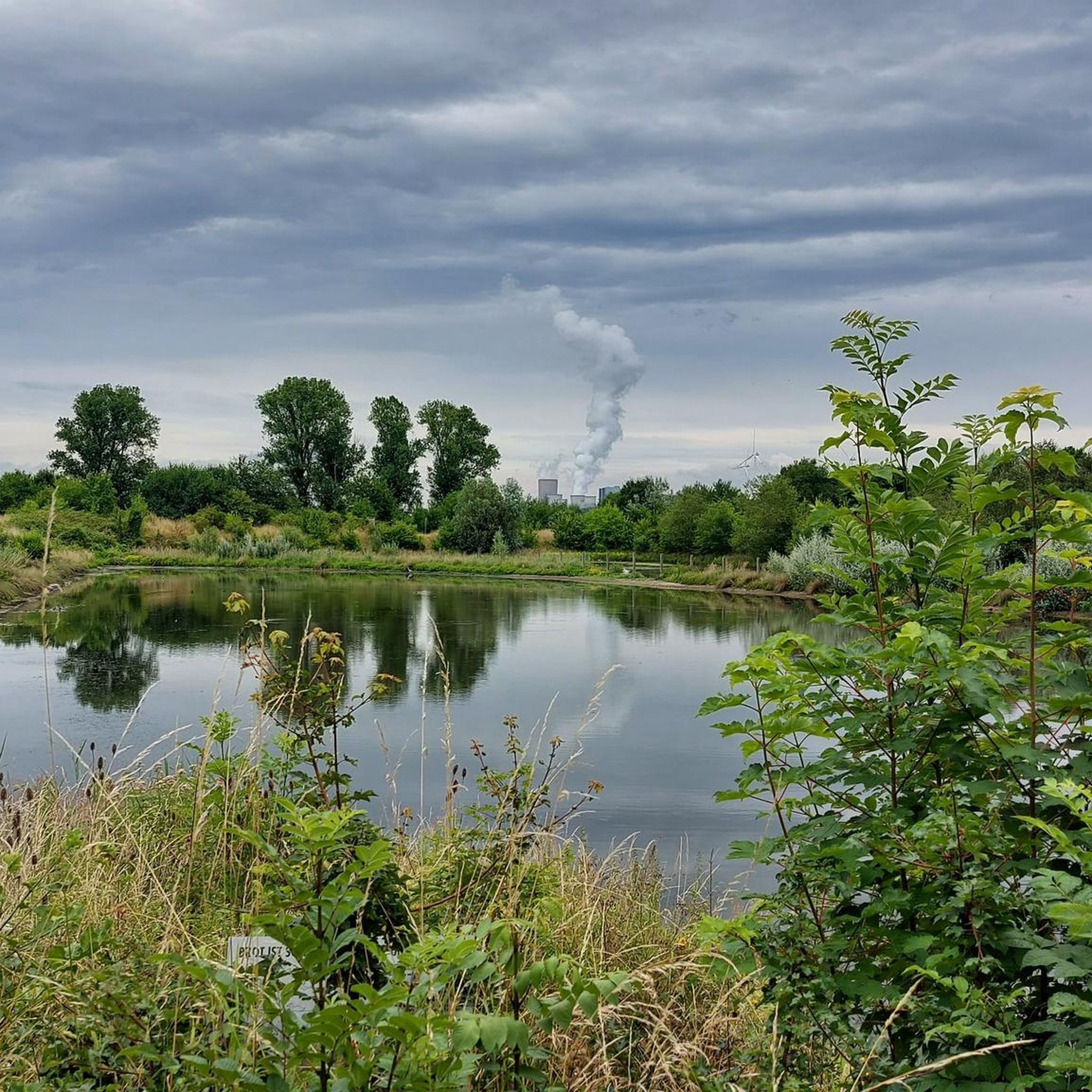
... certainly one of the most beautiful views today from the edge of Lake Kaster. It is easy to walk around it in a short hike and has many access points directly to the water ...

번역: Google

1

0

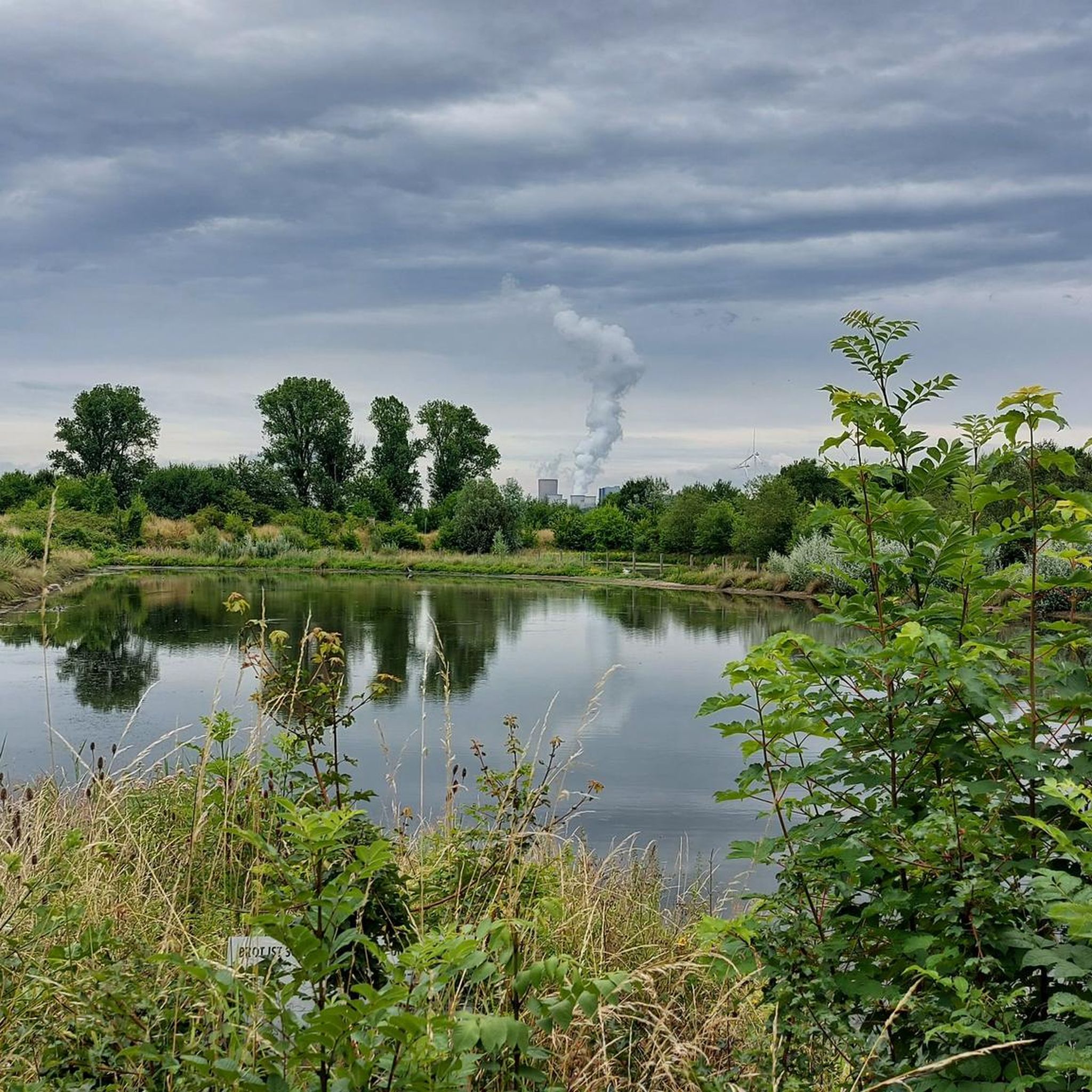
"The Kasterer See was created in 1984 as part of the recultivation of the former Frimmersdorf opencast mine. The lake is 1 km long, 125 m wide and 5.2 m deep. It is fed by the Mühlenerft, an oxbow river of the Erft, and not by groundwater. The lake was created at the bottom of the Kasterer Höhe in the so-called new Erftaue. It is surrounded by a forest of around eight hectares, which was created as part of the recultivation. It consists mainly of elm trees. The lake and the surrounding forest have been part of the “Erft between Bedburg and Bergheim” nature reserve since 2009. The southwest bank of the lake serves as a local recreation area. The east bank is largely inaccessible and left to nature. There you will find extensive wetland habitats and numerous nesting places for waterfowl. The lake also serves as fishing water." (Peter Burggraaff, on behalf of the LVR Office for Monument Preservation in the Rhineland, 2022) https://www.kuladig.de/Objectansicht/KLD-344360

번역: Google

0

0

"The Mühlenerft feeds and washes the Kasterer See, which was created in the area of the former Frimmersdorf opencast mine and was completed in 1984. The lake is located in a forest island in which the endangered elm has been replanted in large numbers as a particularly typical species of hardwood floodplain forests. ." https://www.bedburg.de/Seiten/Kasterer-See-Naherholung-vor-der-Haustuer.html?

번역: Google

1

0

Oliver🌍
1월 17, 2024, Kasterer See

As part of brown coal mining, the one kilometer long, 125 meter wide and 5.20 meter deep Kasterer Lake was created in the area of the former Frimmersdorf opencast mine and completed in 1984. It is fed and washed by the Mühlenerft and is embedded in the Kasterer Höhe, a landscaped forest area of around eight hectares. Numerous elm trees, which are considered an endangered tree species, have been planted in the forest island in which the body of water is located. The lake and the forest areas surrounding it were created through extensive recultivation measures.

번역: Google

6

0

The Kasterer Mühlenerft is an old branch of the regulated Erft. The Kasterer Mühle is a former water mill in the Kaster district. The first references to a mill in Kaster come from the year 1250, namely the name Conrad, a miller from Kaster. The mill is probably one of the oldest buildings in Kaster, apart from the castle. In 1961 the mill was shut down. In 1966, the last owner, Adam Offergeld, sold the facility to Rheinbraun, who had the listed building demolished. The mill house was preserved and was converted into a residential complex in 1980 as part of a renovation and restoration.

번역: Google

6

0

베드버그 주변에서 가장 인기 있는 경로

베드버그 가족 하이킹

베드버그 주변에서 가장 인기 있는 명소

Places to see

Store rating

komoot 모바일 앱으로 영감을 받아보세요

무료 komoot 계정로 끝없는 야외 모험을 손쉽게 찾고, 맞춤 설정하며 길안내할 수 있어요.

또는

지금 komoot에 가입하세요

Store rating

더 살펴보기

다른 지역의 최고의 하이킹를 살펴보세요.

에르프트슈타트리블라러 호수하이더 베르그제케르펜풀하임휘르트Naturschutzgebiet Parrig베르그하임프레첸Kerpener Bruch보이스도르퍼 호수후르터 발트제풀하이머 호수Nsg Königsdorfer ForstOtto-Maigler-See웨셀링페링스마르Bürgewald Dickbusch Und Lörsfelder Busch블레이브로이제

근처 어드벤처 가이드

노이라더 호수 즐길거리

background

새로운 정복을 위한 준비를 하세요

무료로 가입하기

탐험하기
경로경로 플래너기능하이킹MTB 트레일로드 사이클링 경로바이크패킹사이트맵
앱 다운로드
소셜 미디어에서 팔로우하기

© komoot GmbH

개인 정보 보호 정책