레 살세에서 가장 멋진 5개의 산길
레 살세에서 가장 멋진 산길을 아래에서 살펴보세요. 풍경을 감상하기에도 좋고, 오르막길/내리막길을 따라 걷기에도 좋은 곳이랍니다. 커뮤니티가 특별 도움을 통해 공유한 콘텐츠인 만큼 믿을 수 있는 정보이니 마음에 드는 산길이 있다면 바로 다음 모험 계획에 추가해서 바로 방문해보세요.
마지막 업데이트: 9월 2, 2026
콜 드 본콤브 고개
하이라이트 • 산악 고개
번역자 Google •
팁에 의해


이런 장소를 발견하려면 지금 가입하세요
최고의 싱글 트랙, 봉우리 및 다양한 흥미로운 야외 장소에 대한 추천을 받아보세요.
무료 회원 가입


카페-바 알리고 르레 데 라크 보네콤브
하이라이트 • 카페
번역자 Google •
팁에 의해
오늘 무료 계정으로 시작하세요
다음 모험이 기다리고 있어요.
로그인 또는 가입하기

커뮤니티 팁

9km of climbing, perfect for training sessions of one or 45 minutes
0
0

The Col du Trébatut is 10.5 km long with an average gradient of 5.1% and maximum gradients of 8%. There is 535m of elevation gain.
2
0

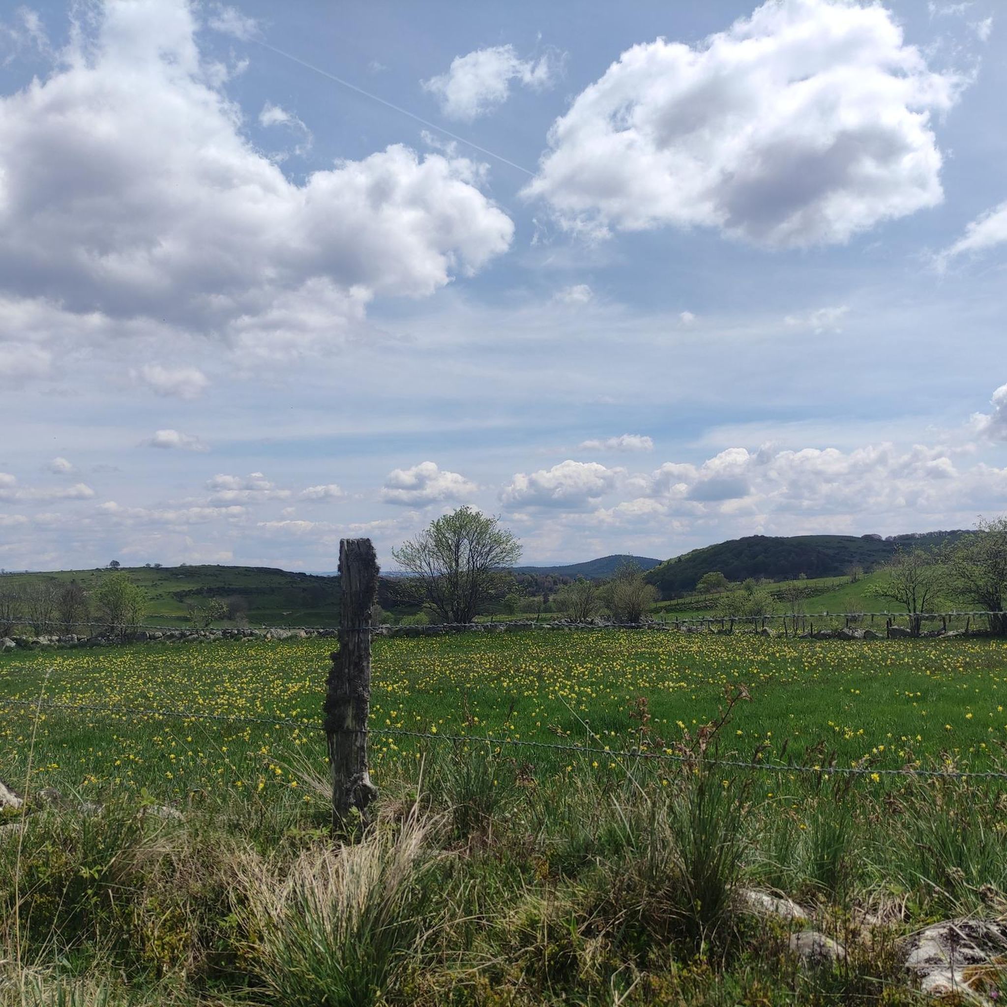
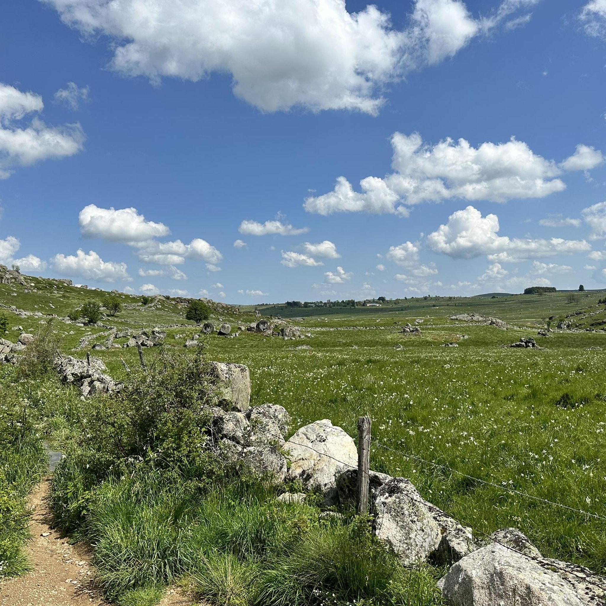
Aubrac welcomes you in all its splendour. The ascent of the Col de Bonnecombe is regular, and I assure you that this plateau is worth all the effort.
0
0
A pleasant pass, which will take you straight into Aubrac and its magical plateau. We slept at the top in June, it is still cold there.
0
0

This pass which marks the passage between Lozère and Aveyron is with its 1340 meters, the highest in Aubrac.
0
0

To be precise, this pass marks the passage between Lozère and Aveyron
0
3

Le Relais des Lacs, an isolated buron on the Aubrac plateau located at 1343m altitude on the lakes route (D52) at the junction of the GR60, the Aubrac tour, the Saint Guilhem path and Urbain V . Jérôme et Véronique offers you a unique menu, typical of Buronniers. In a unique country where many sporting and cultural activities await you (skiing, hiking, fishing, motorcycling, mountain biking ...), you will be warmly welcomed at the Relais des Lacs.
3
1
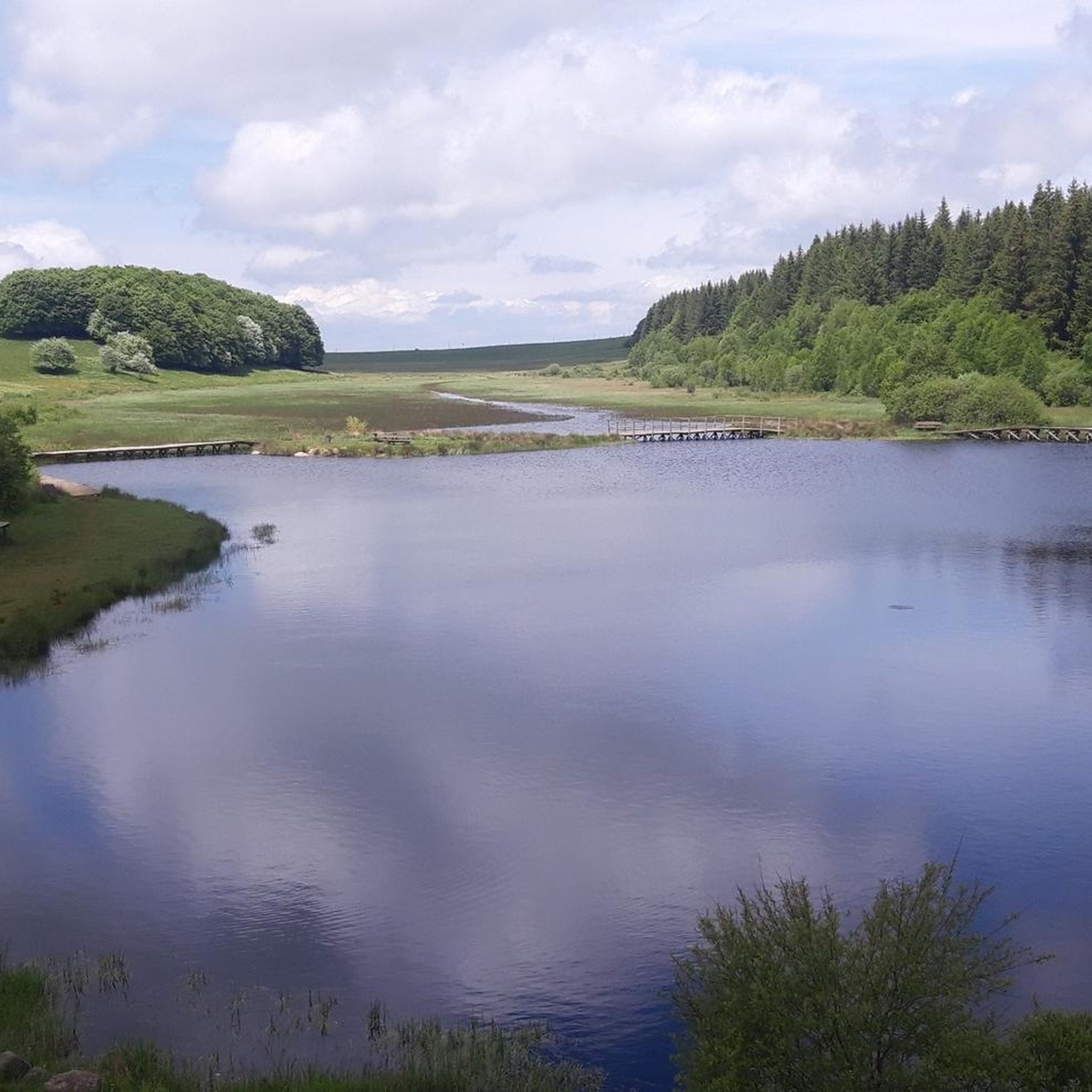
The Bonnecombe pass gives access to the southern part of the Aubrac mountains, the highest on the plateau, and is located between the Mailhebiau signal and the Coumborio mountain. It is taken by the D52 road, known as the lakes road and is located in the immediate vicinity of the pond of the same name.
2
1
레 살세 주변에서 가장 인기 있는 명소


더 살펴보기
이 가이드를 통해 더 많은 장대한 산악 통과를 확인해보세요 레 살세 주변:
