붓는 사람에서 가장 멋진 4개의 산길
붓는 사람에서 가장 멋진 산길을 아래에서 살펴보세요. 풍경을 감상하기에도 좋고, 오르막길/내리막길을 따라 걷기에도 좋은 곳이랍니다. 커뮤니티가 특별 도움을 통해 공유한 콘텐츠인 만큼 믿을 수 있는 정보이니 마음에 드는 산길이 있다면 바로 다음 모험 계획에 추가해서 바로 방문해보세요.
마지막 업데이트: 8월 20, 2026

Col de la Croix de Berthel
하이라이트 • 산악 고개
번역자 Google •
팁에 의해

이런 장소를 발견하려면 지금 가입하세요
최고의 싱글 트랙, 봉우리 및 다양한 흥미로운 야외 장소에 대한 추천을 받아보세요.
무료 회원 가입
콜 뒤 프레 드 라 담
하이라이트 • 산악 고개
번역자 Google •
팁에 의해

보네보에서의 내리막
하이라이트 (구간) • 트레일
팁에 의해

Col du Peras (771m)
하이라이트 • 산악 고개
The north-eastern descent/climb has very poor asphalt (be careful) , the southern side is good.
팁에 의해
무료로 가입하여 붓는 사람 주변의 더 많은 산악 고개를 발견하세요.
무료 회원 가입
이미 komoot 계정이 있나요?
오늘 무료 계정으로 시작하세요
다음 모험이 기다리고 있어요.
로그인 또는 가입하기
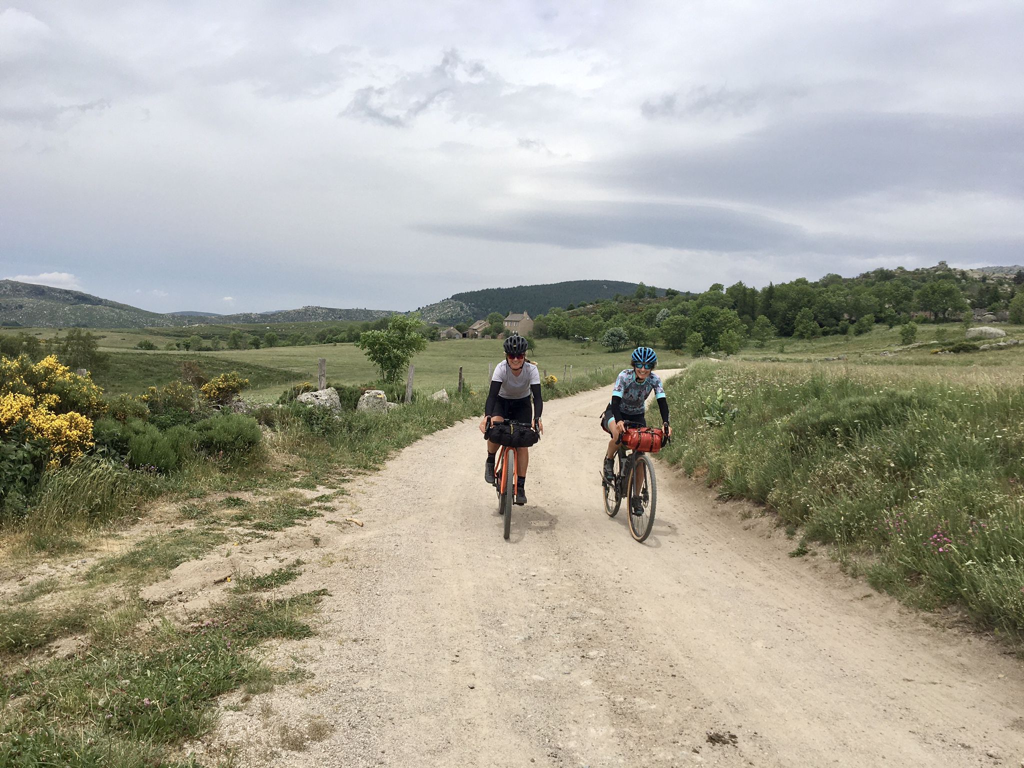
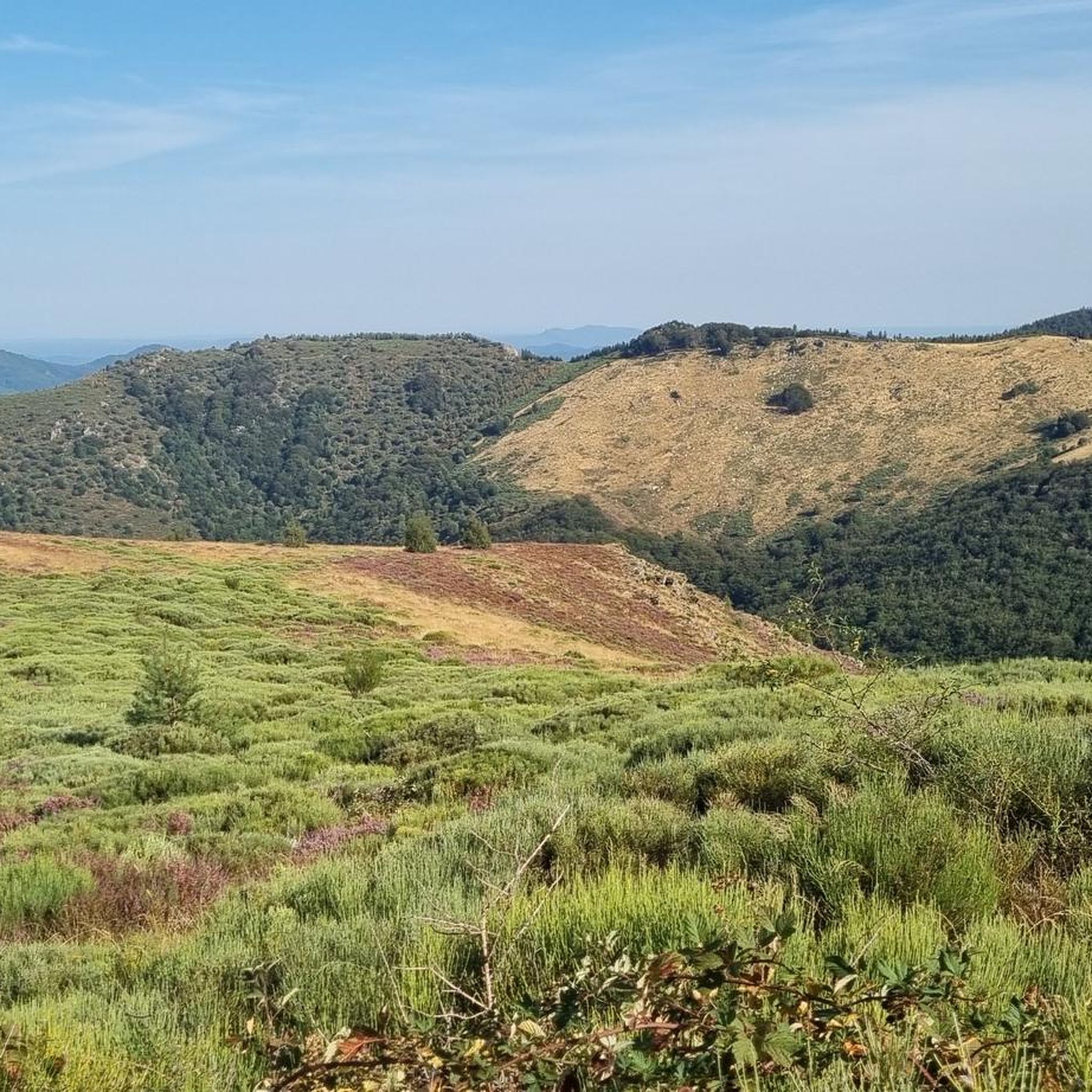
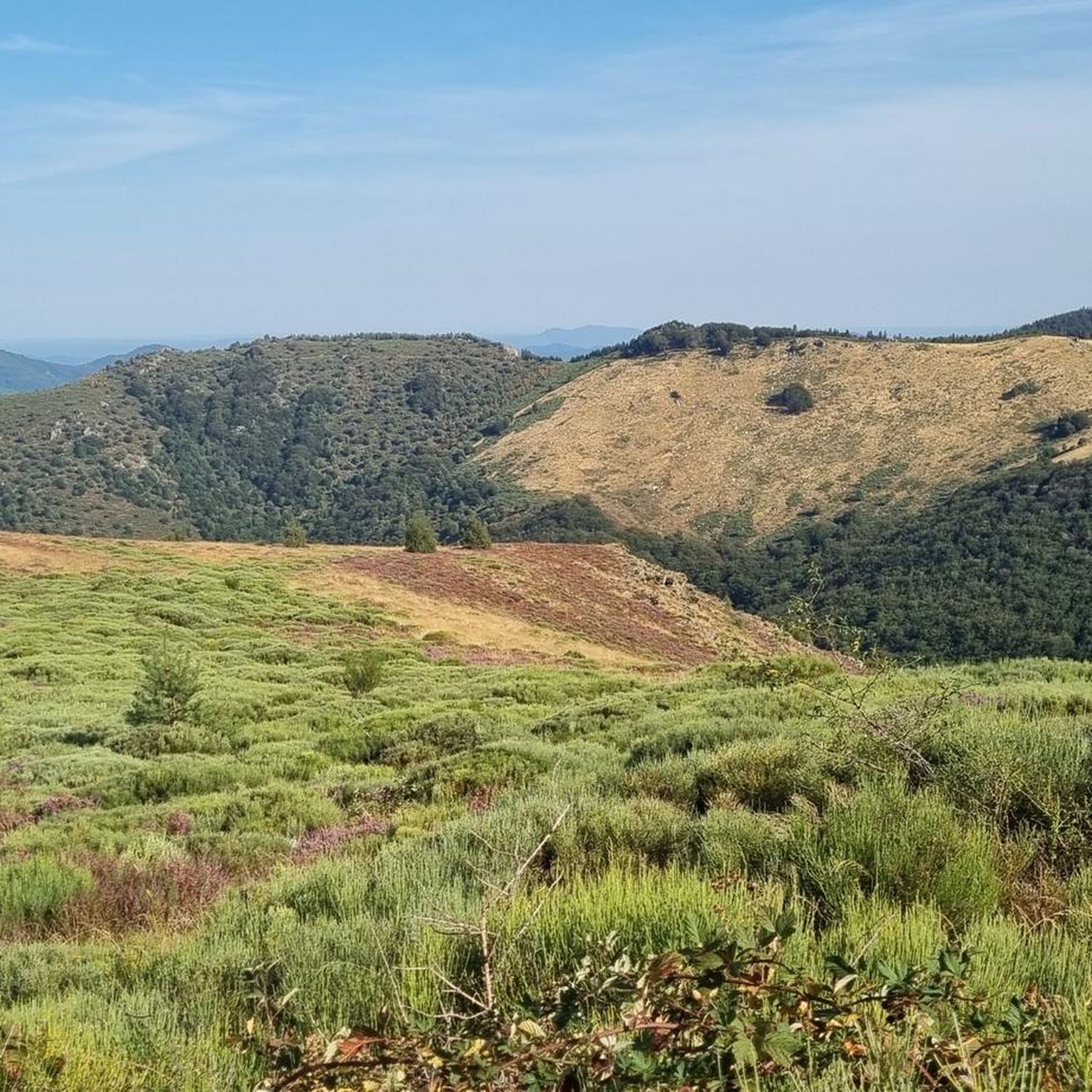
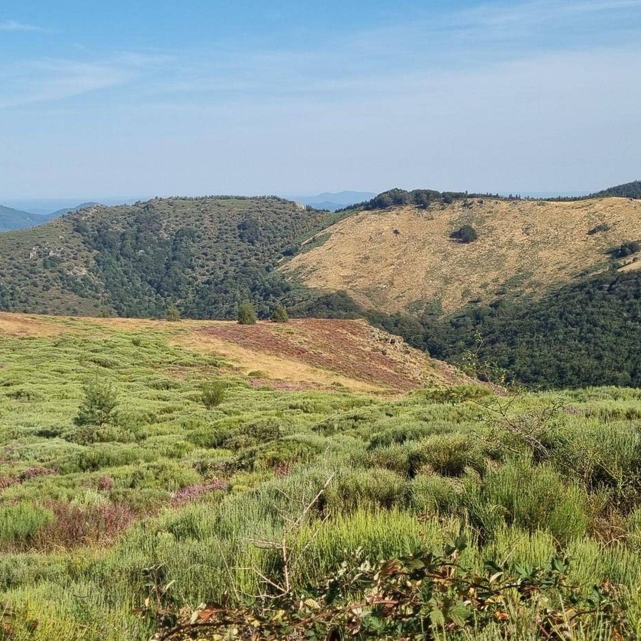
붓는 사람 주변의 다른 모험

커뮤니티 팁

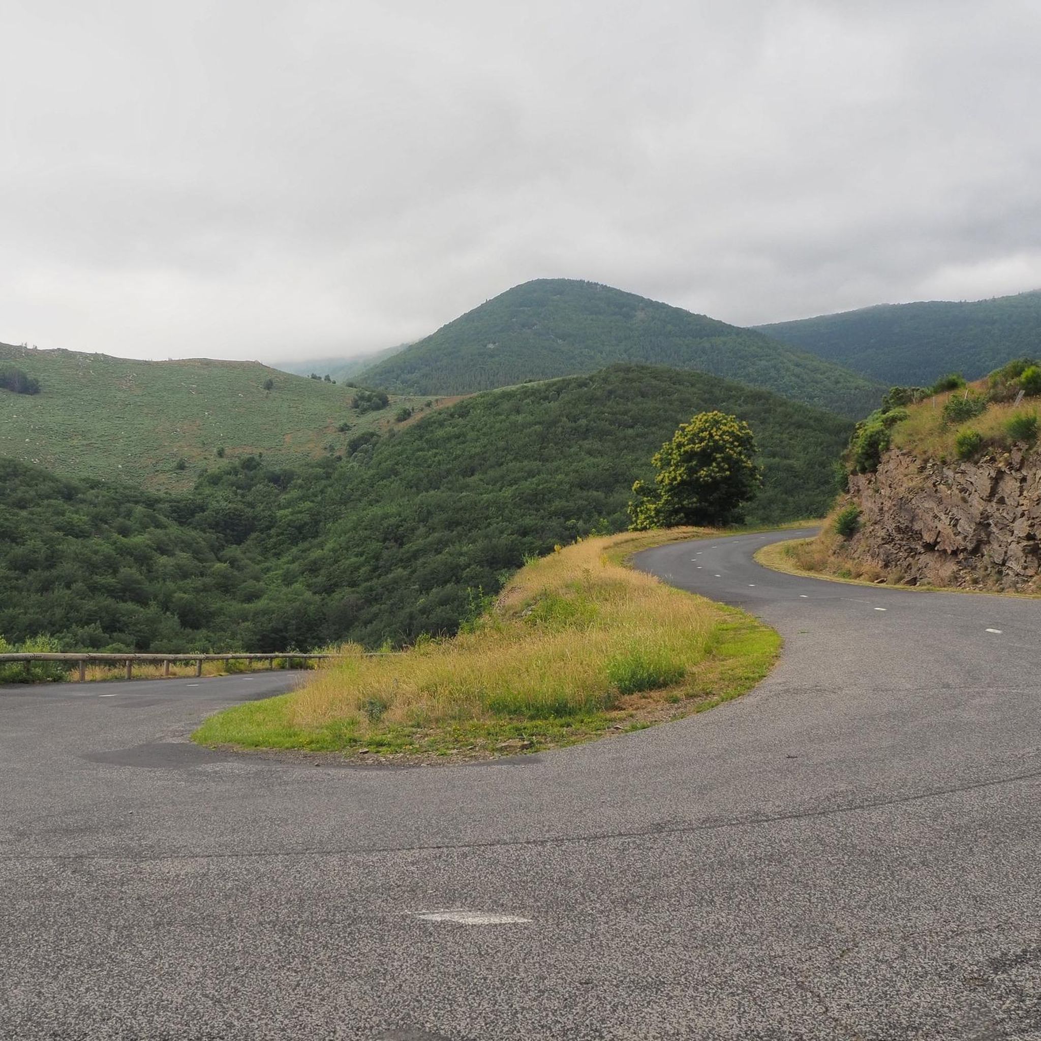
A road bike/gravel highlight of the region. Very beautiful, very narrow, very bumpy road from Bonnevaux into the valley. Wider tires are very useful here. Watch out for oncoming traffic!
0
0

This is an excellent site for meeting cycling friends. However, the views of the surrounding area are splendid, despite a modest altitude of 1,088 meters.
0
0

Small pass at 1087m altitude with a pretty setting.
0
0

To be absolutely avoided on a road bike, unless like me you want to die! The descent is in a pitiful and unworthy state! Presence of gravel, stones, and especially bumps and holes occupying for some half of the roadway and a depth of several cm! Impassable descent by road bike although a priori a Departmental road. A shame !
0
0

Whether you come from Villefort or Génolhac, it's very steep!
0
0

The Col de l'Aigle, less than a kilometer east of Pic Cassini, offers a magnificent view of the valley at an altitude of 1,605 meters.
1
0

This magnificent pass, which also has a pretty name, culminates at 1,474 meters above sea level. It is one of the highest passes in the Gard department.
0
0

Col du Peras, North-east descent is not really suitable for racebikes. The asphalt conditions are very, very poor! Be carefull.
1
0
붓는 사람 주변에서 가장 인기 있는 명소


더 살펴보기
이 가이드를 통해 더 많은 장대한 산악 통과를 확인해보세요 붓는 사람 주변:
