20의 헤난살가지 명소 & 주요 장소
헤난살에는 둘러볼 만한 장소가 많답니다. 하이킹 또는 사이클링을 좋아한다면 헤난살에 숨겨진 20
가지 보석을 만날 수 있을 거예요. 이 지역의 주요 명소를 살펴보면서 다음 모험을 계획해보세요.
마지막 업데이트: 10월 9, 2026
마레 데 살린 목조 다리
하이라이트 • 다리
번역자 Google •
팁에 의해

포앵트 데 카트르 방 (카프 데르키)
하이라이트 • 전망대
번역자 Google •
팁에 의해

이런 장소를 발견하려면 지금 가입하세요
최고의 싱글 트랙, 봉우리 및 다양한 흥미로운 야외 장소에 대한 추천을 받아보세요.

오늘 무료 계정으로 시작하세요
다음 모험이 기다리고 있어요.

커뮤니티 팁

Côtes-d'Armor 데파르트망의 Hillion 코뮌에 건설된 Ponts-Neufs 송수로는 1910년대 초 Louis Auguste Harel de La Noë가 건설했습니다. Yffiniac-Matignon 철도 노선 운영을 위해 건설되었으며, 길이는 237미터, 높이는 27미터입니다. Ponts-Neufs 송수로는 2014년에 완전히 복원되었으며 더 이상 기차가 다니지 않습니다. 도보 또는 산악자전거로 건널 수 있으며, 현재 해안 자전거 도로의 연장선 역할을 하고 있습니다.
0
0

Pointe des Quatre Vents is a small, distinctive headland west of Erquy. As its name—"Headland of the Four Winds"—suggests, it is particularly windswept and open, giving the coastline a rugged, pristine appearance.
16
0
The Pointe d'Erquy is a striking headland on the north coast, characterized by pink sandstone cliffs, open heathland, and low coastal shrubs. From the cliffs, sweeping views of the sea, offshore cliffs, and bays open up. It lies within the Cap d'Erquy - Cap Fréhel Nature Reserve and provides a habitat for seabirds and protected flora. This section is part of the GR34 coastal path and is particularly scenic at low tide, when rocky islands and tidal pools become visible.
14
0
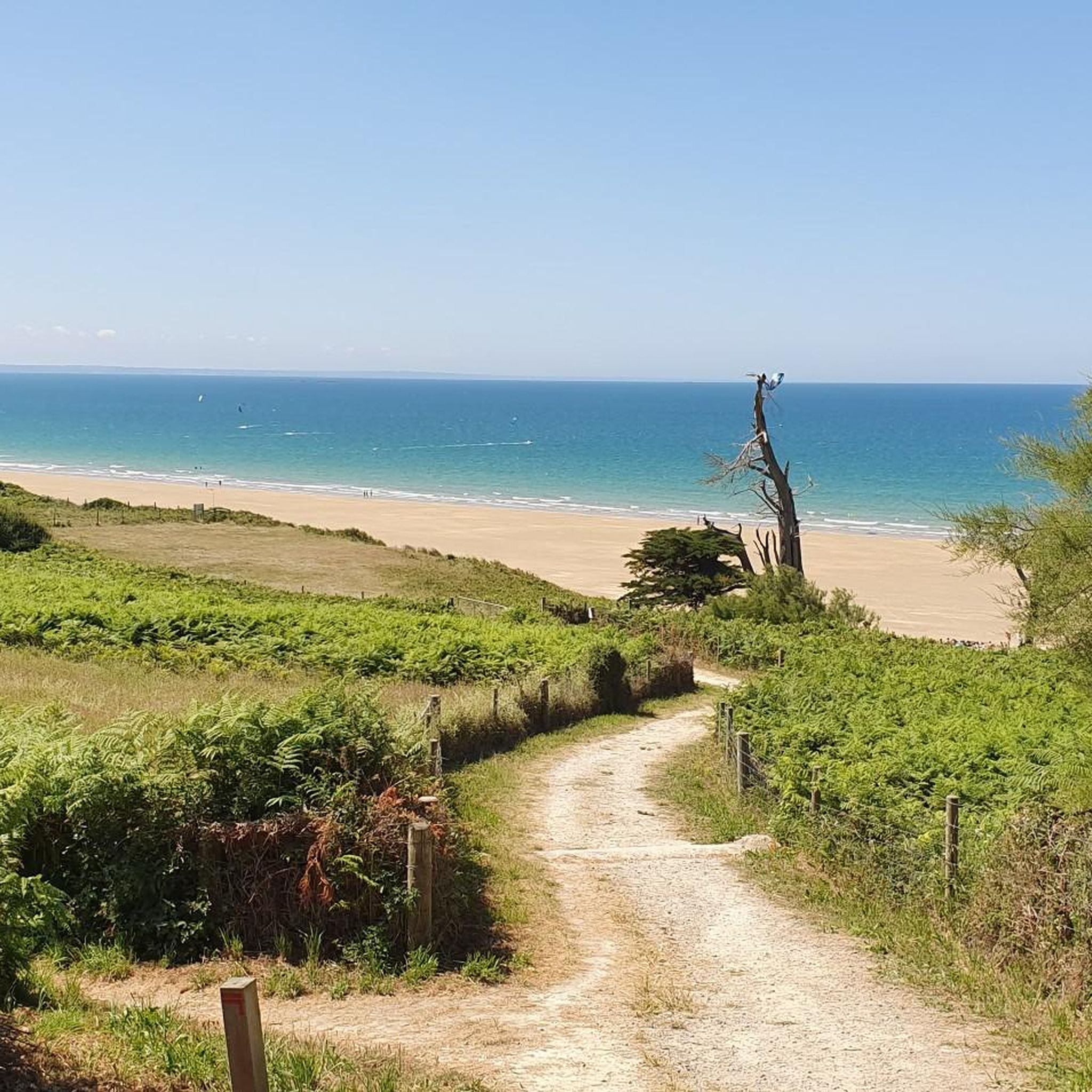
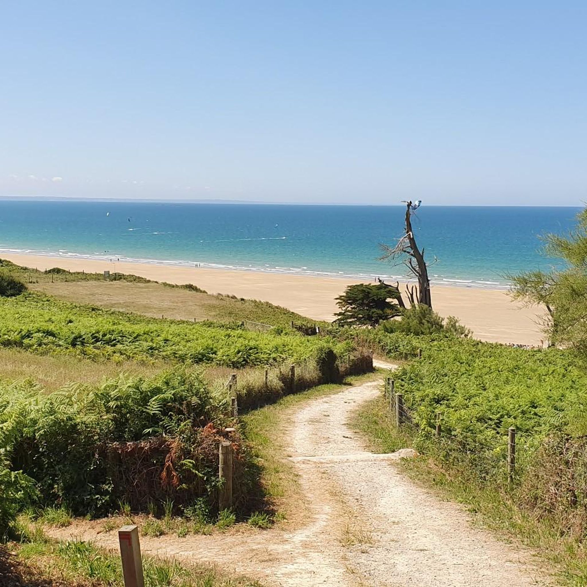
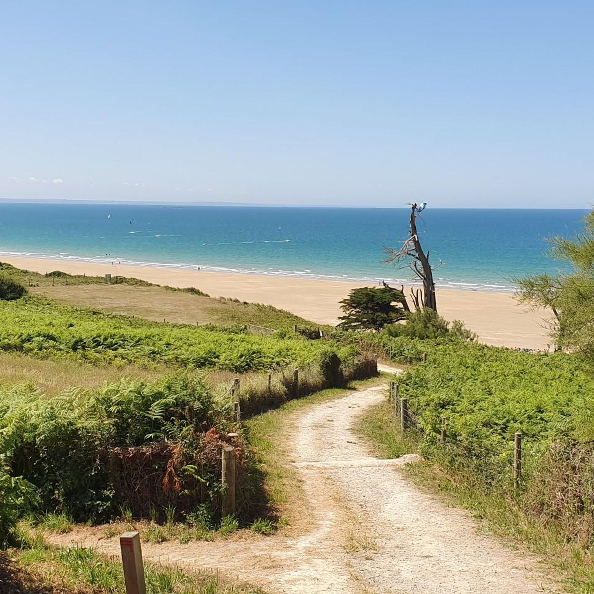
Plage du Guen is part of the protected landscape surrounding Cap d'Erquy. Nestled between gently rolling heathland slopes, this unspoiled beach reveals its tranquil, pristine side. Fine, pale sand and the changing colors of the sea dominate the landscape, while heather, broom, and pine trees grow in the hinterland. At low tide, rocks and small tidal pools emerge, and the expansive view across the bay extends all the way to Cap Fréhel. Since the beach is only accessible via narrow paths and lacks any tourist infrastructure, it remains a quiet spot—ideal for hikes, nature observation, and moments of tranquility by the sea.
28
0

Beautiful scenery and great for hiking or trail running 😉
0
0

small passage with a nice view, and on a car-free road
0
0

As you walk through the Salines marsh, you'll cross a charming little wooden bridge. This passage allows you to cross the lagoon formed by the Islet and offers breathtaking views of this ecosystem rich in flora and fauna.
2
0

The Viaduct des Ponts-Neufs is an impressive historical structure in Hillion. The viaduct was built between 1913 and 1914 by Louis Auguste Harel de La Noë for the Chemins de Fer des Côtes-du-Nord. It is an arch bridge that spans the Gouessant Valley and offers a magnificent view of the waterfalls below. The viaduct is 27 metres high and 237 metres long, including a pedestrian walkway.
1
0
헤난살 주변에서 가장 인기 있는 명소


더 살펴보기
찾고 있는 하이라이트를 아직 못 찾으셨나요? 다른 지역의 주요 명소 가이드를 확인해보세요:
