초헤스 최고의 러닝 경로
4.2
(32)
1,299
달리기 하는 사람
80
러닝
초헤스에서 하이킹하며 갭 구석 부분까지 살펴볼까요? 초헤스에 있는 모든 하이킹 및 워킹 경로 컬렉션 중 가장 멋진 하이킹 경로를 엄선하여 소개해드릴게요. 다른 하이커가 공유한 실제 팁과 사진을 살펴보고 후기를 읽으며 마음에 드는 초헤스 워킹 경로를 찾아보세요.
마지막 업데이트: 8월 30, 2026
4.8
(4)
69
달리기 하는 사람
11.2km
01:20
190m
190m
Jog this 7.0-mile (11.2 km) moderate loop trail along the Bay of Saint Michel, offering stunning views of Mont Saint-Michel.
4.4
(5)
159
달리기 하는 사람
보통 조깅. 좋은 체력 필요. 대부분 포장된 지면. 실력과 관계없이 누구나 갈 수 있음.

무료 회원 가입
5.0
(1)
95
달리기 하는 사람
22.1km
02:38
470m
470m
어려운 조깅. 우수한 체력 필요. 대부분 갈 수 있는 길. 일부 구간에서 미끄러지지 않게 조심해야 함.
4.5
(2)
40
달리기 하는 사람
6.53km
00:48
150m
150m
보통 조깅. 좋은 체력 필요. 대부분 포장된 지면. 실력과 관계없이 누구나 갈 수 있음.
4.8
(5)
28
달리기 하는 사람
8.44km
01:11
360m
360m
어려운 조깅. 우수한 체력 필요. 튼튼한 신발을 신고 미끄러지지 않게 조심해야 하며, 높은 산을 오른 경험이 있어야 함.
더 다양한 경로와 다른 탐험가들의 추천을 살펴보세요.
무료 회원 가입
이미 komoot 계정이 있나요?
투어 추천은 다른 사람들이 komoot에서 완료한 수천 개의 활동을 바탕으로 구성되어 있습니다.
오늘 무료 계정으로 시작하세요
다음 모험이 기다리고 있어요.
로그인 또는 가입하기

커뮤니티 팁

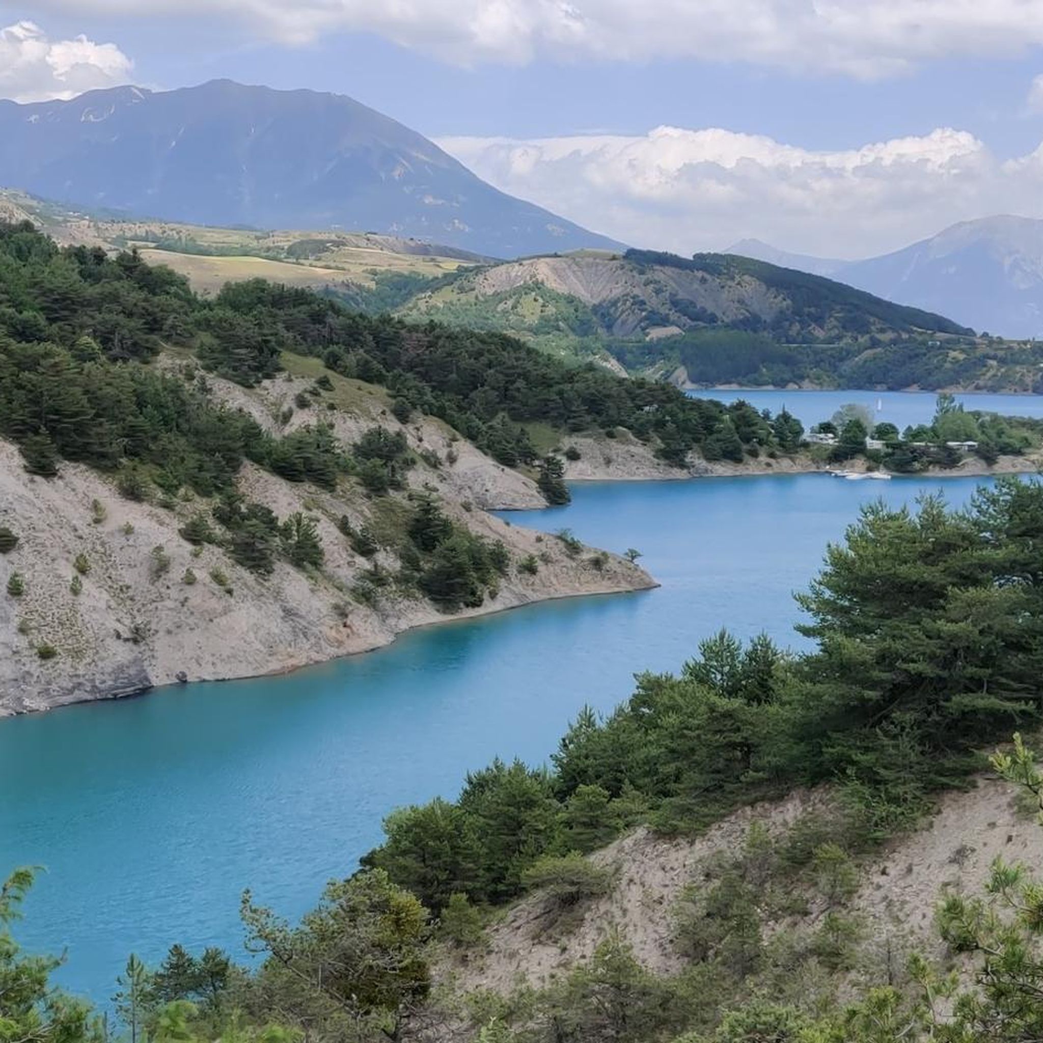
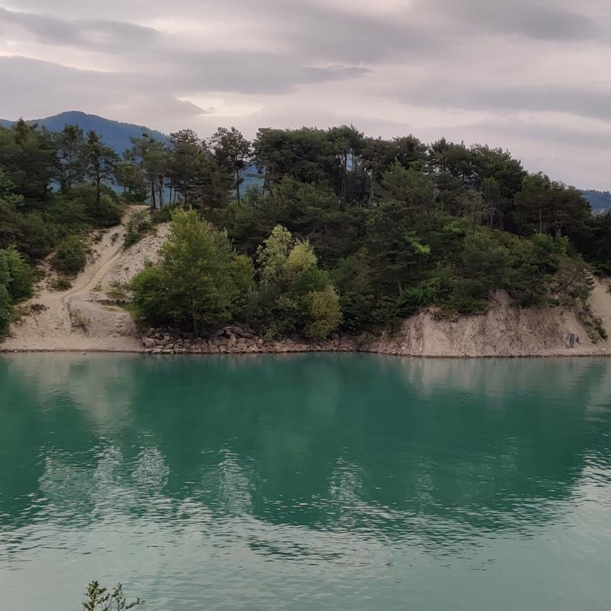
This is where you will have a breathtaking view of the Serre Ponçon lake. By going to this viewpoint, you will be able to admire the turquoise waters of the lake, surrounded by the rugged peaks of the French Alps. The area offers peaceful hiking trails and is a great place to take a break and admire the natural beauty of this large artificial lake, which reflects the surrounding mountains.
0
1

The Chanteloube viaduct, located on the Serre-Ponçon lake, is an unusual place. Built for a railway line that was never completed, this partially submerged viaduct offers a fascinating spectacle, with its arches reflected in the turquoise waters of the lake.
1
0

Very small town with very narrow streets, it is worth stopping to visit.
15
0

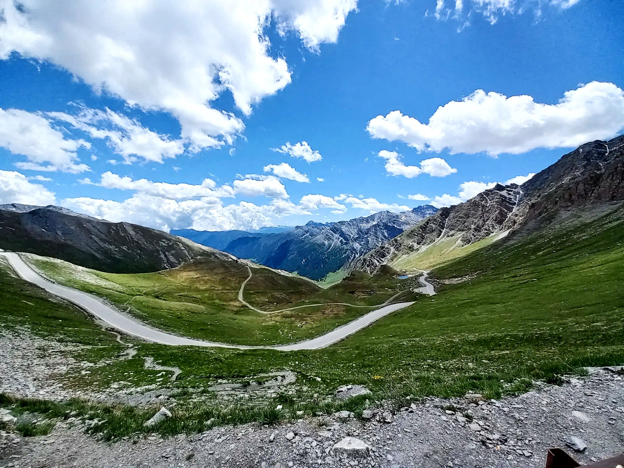
Connecting the Gapençais and the Durance valley, the Lebraut pass is a magnificent viewpoint over the Serre-Ponçon lake. Small roads that are as discreet as they are panoramic provide access to the heart of resplendent nature.
0
0
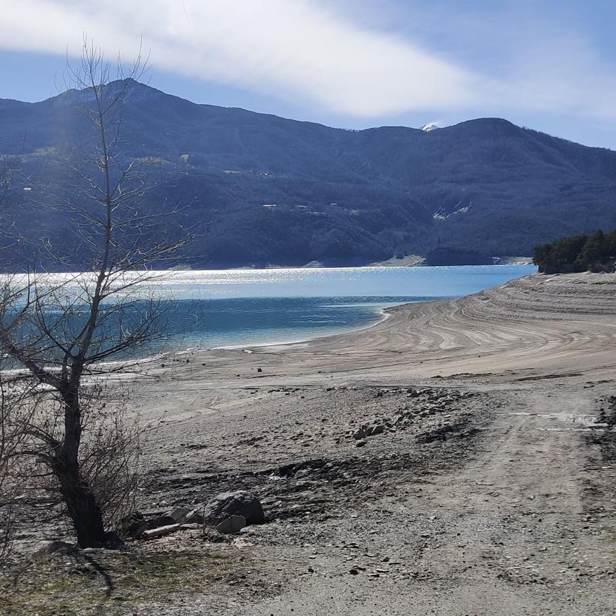
The Chanteloube viaduct, located in the town of Chorges, emerges like a silent vestige of a bygone era. Started in the early 1900s, it was initially intended to connect Chorges to Barcelonnette by rail. The project was finally abandoned in the 1930s. Each year, in the spring, as the lake swells from melting snow and seasonal rains, the viaduct disappears beneath the waters. However, in winter, when the lake level drops, the viaduct emerges from its aquatic lethargy, revealing its majestic arches and solid pillars.
0
1

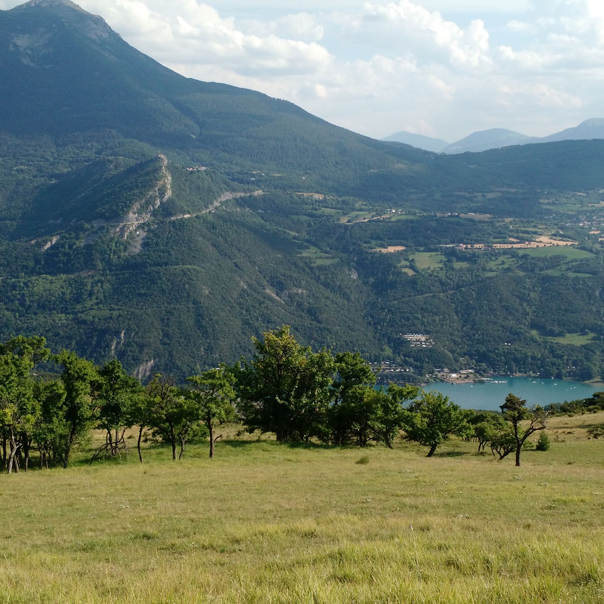
Coming out from amongst the trees on this magnificent singletrack descent, slow down a little to take in an incredible view of the lake that opens up before you. On a clear day, you can right down the lake beyond Savines-le-Lac.
1
0

A beautiful beach surrounded by trees with a beautiful view of the lake. There is a picnic area. Great place to rest.
0
0

The commune of Chorges sits above the Lac de Serre-Ponçon below. It is located at an altitude of 860m. From there you can either descend to the lake towards Embrun or go into the mountains towards Gap.
2
0
초헤스 주변에서 가장 인기 있는 명소


더 살펴보기
다른 지역의 최고의 러닝 트레일 & 경로를 살펴보세요.
