알트피르트 최고의 사이클링 경로
4.5
(151)
1,340
자전거 타는 사람
143
라이딩
알트피르트 최고의 사이클링 경로를 따라 지역을 둘러볼까요? 알트피르트에서 가장 멋진 자전거 라이딩 장소 중에서 가장 마음에 드는 라이딩을 선택해보세요.
마지막 업데이트: 8월 21, 2026
4.0
(1)
28
자전거 타는 사람
33.7km
02:20
580m
580m
어려운 자전거 타기. 우수한 체력 필요. 대부분 포장된 지면. 실력과 관계없이 누구나 갈 수 있음.
4.3
(6)
20
자전거 타는 사람
42.1km
02:38
430m
420m
보통 자전거 타기. 좋은 체력 필요. 대부분 포장된 지면. 실력과 관계없이 누구나 갈 수 있음.

무료 회원 가입
4.5
(2)
22
자전거 타는 사람
41.8km
02:42
480m
480m
어려운 자전거 타기. 우수한 체력 필요. 대부분 포장된 지면. 실력과 관계없이 누구나 갈 수 있음.
5.0
(2)
21
자전거 타는 사람
41.5km
02:55
760m
760m
어려운 자전거 타기. 우수한 체력 필요. 대부분 포장된 지면. 실력과 관계없이 누구나 갈 수 있음.
1.0
(1)
17
자전거 타는 사람
54.2km
04:04
670m
670m
어려운 자전거 타기. 우수한 체력 필요. 대부분 포장된 지면. 실력과 관계없이 누구나 갈 수 있음.
더 다양한 경로와 다른 탐험가들의 추천을 살펴보세요.
무료 회원 가입
이미 komoot 계정이 있나요?
투어 추천은 다른 사람들이 komoot에서 완료한 수천 개의 활동을 바탕으로 구성되어 있습니다.
오늘 무료 계정으로 시작하세요
다음 모험이 기다리고 있어요.
로그인 또는 가입하기




커뮤니티 팁

Closed permanently from the end of September 2025
0
0

The original church of the lower village parish was dedicated to the Virgin Mary and then to Saint Anthony the Hermit, but in 1842, Father Acker established Saint Geron as the main patron saint. In 1802, the two parishes of Pfetterhouse were united, and there was only one church. The current bell tower was built in 1900 by the architect Alexandre Louvat from Mulhouse. The old furnishings were gradually replaced. This church is the only one in Alsace to have Saint Geron as its patron saint.
1
0

This is a (often dry) fountain at a highway intersection in the village called Winkel, not the location of the source of the river Ill; that's 850 meters to the south at another highlight: https://www.komoot.com/highlight/4448431 But the source is often not producing much visible water. So it's perhaps fitting that Komoot's automatic translation doesn't reliably avoid messing up place names. While that's confusing for users, we can try to focus on the humor: Unless the highlight author puts the title "Illentsprung" (German for "Source of the Ill river") in quotation marks, it is displayed to me in English as "Source of pain" ... 🤣 ;-)
1
0

First mentioned in 1144 and rebuilt in 1781, this remote chapel is tucked away in a valley near Sondersdorf. It was once a parish church and later a place of pilgrimage, with an unusual painted coffered ceiling and Gothic tabernacle.
8
0
The village is known in Alsace because the Ill River, which joins the Rhine a few kilometers north of Strasbourg, has its source here. The source of the Ill, located east of Winkel at a place designated in 1591 as Illentsprung, meaning origin of the Ill, in an orchard on the slopes of the Glaserberg. Its current powered the waterwheels of sawmills and mills.
10
0
The spot is marked by striking trees around a small chapel. For a stop, you have a large picnic area 100 m lower.
9
0
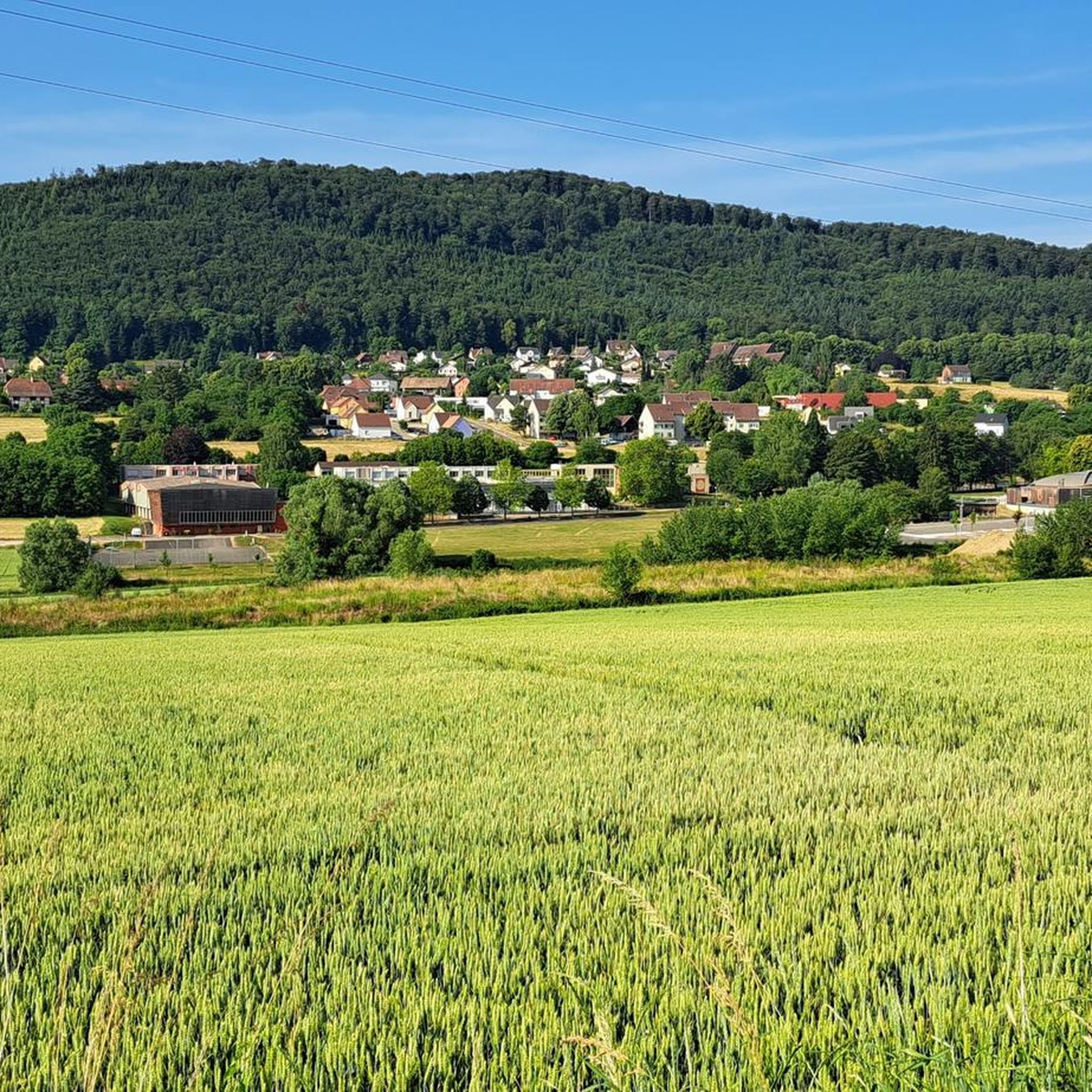
Pfetterhouse is located in the southernmost part of Alsace, near the Swiss border, and marks the symbolic starting point of the Western Front in World War I. During the Battle of Alsace in August 1914, French troops took the village. From that moment on, Pfetterhouse became the official Kilometre 0 point of the front line, which then stretched for almost 750 km to the North Sea. In the village centre, you will find the Église Saint-Géréon, a neo-Gothic church from 1884 with a rare 16th-century Pietà and a striking tower. The old railway line, now a cycle path, is also a reminder of the past.
9
0
알트피르트 주변에서 가장 인기 있는 명소


더 살펴보기
다른 지역의 최고의 자전거 경로를 살펴보세요.
