그로루브르 최고의 러닝 경로
4.4
(113)
3,855
달리기 하는 사람
347
러닝
그로루브르에서 하이킹하며 랑부예 구석 부분까지 살펴볼까요? 그로루브르에 있는 모든 하이킹 및 워킹 경로 컬렉션 중 가장 멋진 하이킹 경로를 엄선하여 소개해드릴게요. 다른 하이커가 공유한 실제 팁과 사진을 살펴보고 후기를 읽으며 마음에 드는 그로루브르 워킹 경로를 찾아보세요.
마지막 업데이트: 9월 11, 2026
4.0
(2)
283
달리기 하는 사람
16.4km
01:52
260m
260m
어려운 조깅. 우수한 체력 필요. 대부분 포장된 지면. 실력과 관계없이 누구나 갈 수 있음.
45
달리기 하는 사람
14.3km
01:36
60m
60m
보통 조깅. 좋은 체력 필요. 대부분 포장된 지면. 실력과 관계없이 누구나 갈 수 있음.

5.0
(1)
46
달리기 하는 사람
10.8km
01:08
70m
70m
보통 조깅. 좋은 체력 필요. 대부분 포장된 지면. 실력과 관계없이 누구나 갈 수 있음.
2.0
(1)
31
달리기 하는 사람
16.2km
01:53
130m
130m
어려운 조깅. 우수한 체력 필요. 대부분 포장된 지면. 실력과 관계없이 누구나 갈 수 있음.
24
달리기 하는 사람
27.9km
03:17
280m
280m
어려운 조깅. 우수한 체력 필요. 대부분 포장된 지면. 실력과 관계없이 누구나 갈 수 있음.
더 다양한 경로와 다른 탐험가들의 추천을 살펴보세요.
이미 komoot 계정이 있나요?
투어 추천은 다른 사람들이 komoot에서 완료한 수천 개의 활동을 바탕으로 구성되어 있습니다.
오늘 무료 계정으로 시작하세요
다음 모험이 기다리고 있어요.


커뮤니티 팁

Nice spot when the weather is nice for a bike ride or a nice hike!
0
0

great race which alternates between dirt roads, small tarmac paths in the forest and around ponds
0
0


Excellent for taking a break and recharging your batteries in front of a beautiful landscape, possibility of going for a swim within 10€
0
0

Bridge overlooking the Etang de Hollande in the Cheuvreuse
1
0

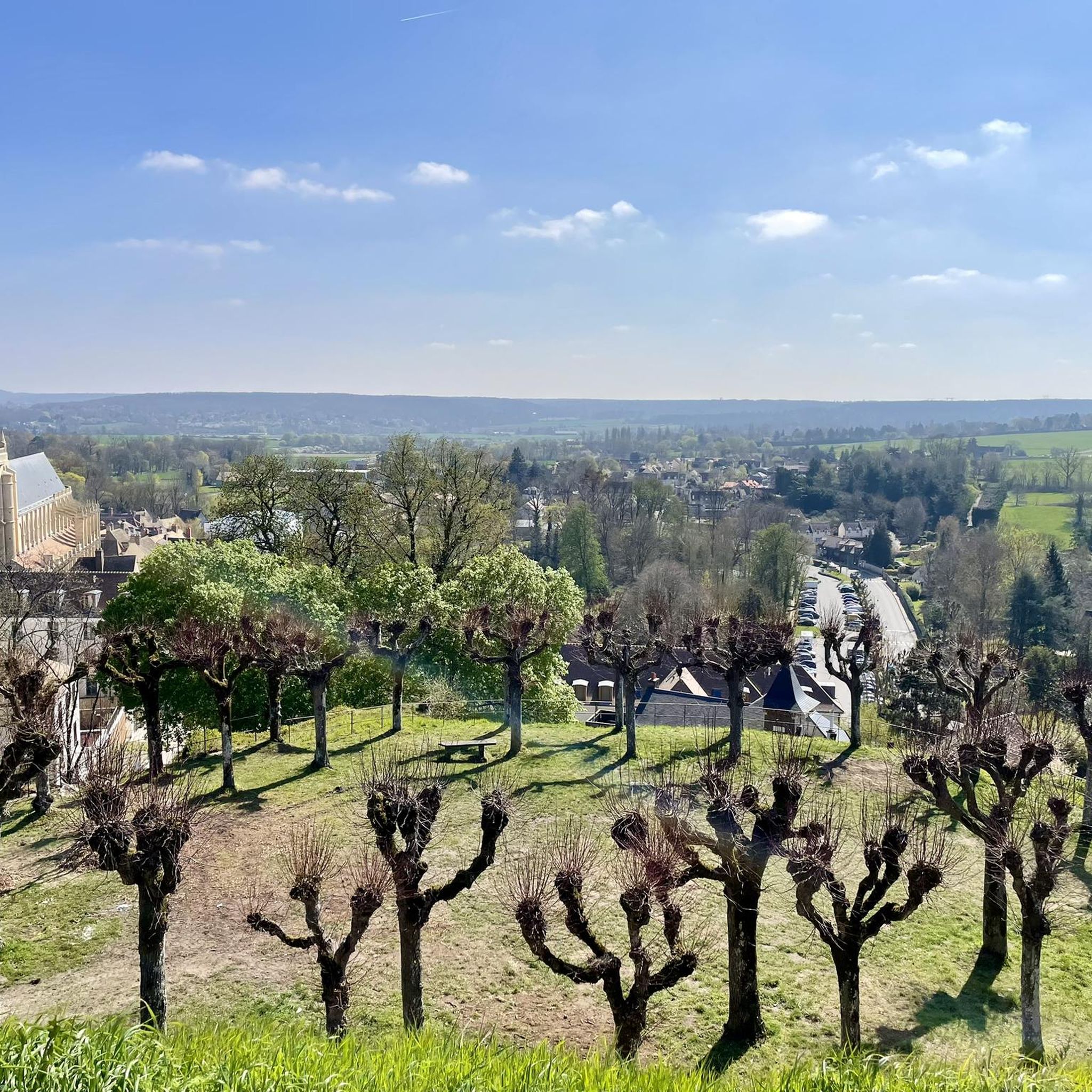
Historical documents attest to the construction of the first fortifications from the year 996 on the hill known as "Montfortis". The city then became the stronghold of the Montfort family and Amaury I had the ramparts built, of which some vestiges can still be seen. At the end of the 13th century, the county of Montfort joined the Duchy of Brittany following the marriage of Yolande de Montfort with Arthur II of Brittany for an allegiance that would last two centuries. During the Hundred Years War (1337-1453), the fortified castle was destroyed by the English and all that remains of the latter are the ruins of the keep, now called Tour Anne de Bretagne, because it was built under his reign. It can be seen when arriving in the city, and climbing this road which bypasses it. Once you have reached the top of the hill, you can take the small dirt road which starts from the intersection with the road to St Léger in order to go through the park to the foot of the keep, if the few hundred meters in gravel do not don't scare you. At the foot of the keep, being 183 meters above sea level, you can contemplate the panoramic view of the town and its surroundings. It is therefore easy to understand why this mound was an ideal place to establish a fortified castle. It is a perfect place for a break after climbing.
0
0

This tower was built in the 15th century by Anne de Bretagne, from whom it takes its name. This is the only remnant of the old castle. It offers a beautiful view of Montfort-l'Amaury. The Duchess of Brittany, who was also the Countess of Monfort, chose this location precisely to dominate the village.
0
0

Located at an altitude of 154 meters1, the pond covers an area of 0.8 hectares. The “Ponts-Quentin stream” flows into the Rompu pond — coming from the Holland ponds located about 1 km upstream to the east — and comes out to flow, about ten kilometers further to the west, in the Vesgre, having previously changed its name twice: first under the name of “Etang-Neuf stream” then under that of “Grapelin”. The Ponts-Quentin stream passes under departmental road 138 before flowing into the pond, which justifies the undulation of the road and its bend. The pond is part of the Rambouillet national forest, a private state domain. As such, its management is ensured by the National Forestry Office (ONF). Wikipedia
1
0
그로루브르 주변에서 가장 인기 있는 명소


더 살펴보기
다른 지역의 최고의 러닝 트레일 & 경로를 살펴보세요.
