15의 라 샤펠 드 브레인가지 명소 & 주요 장소
라 샤펠 드 브레인에는 둘러볼 만한 장소가 많답니다. 하이킹 또는 사이클링을 좋아한다면 라 샤펠 드 브레인에 숨겨진 15
가지 보석을 만날 수 있을 거예요. 이 지역의 주요 명소를 살펴보면서 다음 모험을 계획해보세요.
마지막 업데이트: 10월 19, 2026

빌레인 강을 따라 난 견인로
하이라이트 • 기타
번역자 Google •
팁에 의해
이런 장소를 발견하려면 지금 가입하세요
최고의 싱글 트랙, 봉우리 및 다양한 흥미로운 야외 장소에 대한 추천을 받아보세요.


Mégalithes de Saint-Just
하이라이트 • 기념물
번역자 Google •
팁에 의해

무료로 가입하여 라 샤펠 드 브레인 주변의 더 많은 명소를 발견하세요.
이미 komoot 계정이 있나요?
오늘 무료 계정으로 시작하세요
다음 모험이 기다리고 있어요.


커뮤니티 팁

성스러운 장소인 Saint-Just는 수천 년 동안 신석기 시대 사람들의 방문을 받았습니다. 우리의 먼 조상들은 이 건조한 황무지에 정착하여 브르타뉴에서 Carnac 다음으로 두 번째로 큰 거석 기념물 단지를 조성했습니다. 약 6km의 코스를 따라가면 지역 전설과 관련된 이상한 이름을 가진 다양한 열석들을 발견할 수 있습니다. 이 길은 걷거나, 달리거나, 심지어 자전거를 타고 갈 수도 있으며, 그늘이나 피난처를 제공하지 않는 황무지를 가로지릅니다. 모든 면에서 마법 같고 매혹적인 장소
0
0

In 832, Conuvoion, a Breton monk, founded the Abbey of Saint-Sauveur in Redon with the support of the Carolingian Emperor Louis the Pious. A small rural community slowly grew up around the abbey. During the Middle Ages, the town benefited from its location on the Vilaine River, as trade goods could be transported upstream to Redon on ocean-going vessels. There, the goods were transshipped and transported further on inland waterway barges towards Rennes, the capital of Brittany. In the 19th century, Redon experienced another period of prosperity with the construction of the Nantes-Brest Canal. Even today, the old shipowners' houses and the large harbor basin bear witness to its history as a trading port.
1
0

The cycle path along the Vilaine is truly a MUST! It runs directly along the river and has many locks. At each of the locks, there are beautifully maintained guardhouses, some of which are even kitsch. The cycle path doesn't stray more than 10 meters from the river and has a very well-maintained surface. I had the pleasure of following it for over 40 kilometers.
0
0

Redon has managed to retain its quiet, small-town character, despite its intense activity (and traffic). Following the floods of 2024, the campsite is closed. The pedestrian street is pleasant and not overcrowded with shops. Just what you need. A visit to the port is also a pleasant experience.
0
0

A "treidelpfad" (towpath) that runs alongside the river or canal's bed was an essential part of the transport infrastructure in earlier times. Before ships could be powered by motors, horses walked along the bank, pulling the boat against the current. This was called "treideln" (towing), and this is how the towpaths got their name, which has been passed down to this day. Where these paths, located directly along the bank, have been preserved, they are popular with hikers and cyclists.
0
0

Very nice hike. Please note, the indicated parking lot no longer exists, you must park near the football stadium
0
0

About 5000 years old row of stones with good explanation.
0
0

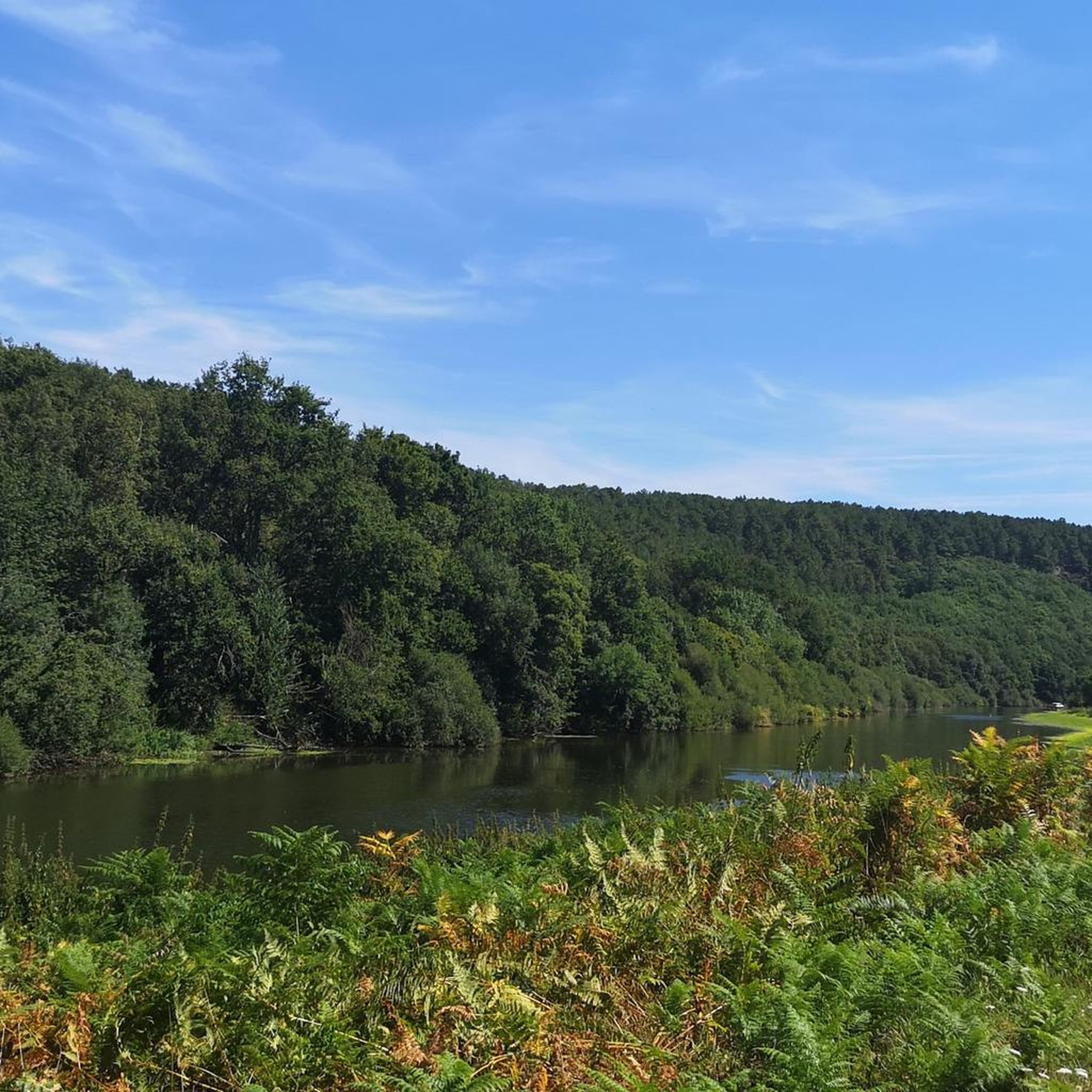
This path which runs along the banks of the Vilaine was built in the 18th century. At the time, it allowed barges to be pulled, most often by horses. It now allows you to cycle or walk in complete peace of mind!
1
0


더 살펴보기
찾고 있는 하이라이트를 아직 못 찾으셨나요? 다른 지역의 주요 명소 가이드를 확인해보세요:
