제네츠 최고의 러닝 경로
4.3
(123)
6,540
달리기 하는 사람
240
러닝
제네츠에서 하이킹하며 아브랑슈 구석 부분까지 살펴볼까요? 제네츠에 있는 모든 하이킹 및 워킹 경로 컬렉션 중 가장 멋진 하이킹 경로를 엄선하여 소개해드릴게요. 다른 하이커가 공유한 실제 팁과 사진을 살펴보고 후기를 읽으며 마음에 드는 제네츠 워킹 경로를 찾아보세요.
마지막 업데이트: 9월 24, 2026
24
달리기 하는 사람
17.8km
01:58
100m
100m
어려운 조깅. 우수한 체력 필요. 대부분 포장된 지면. 실력과 관계없이 누구나 갈 수 있음.
4.0
(1)
10
달리기 하는 사람
13.1km
01:26
60m
60m
보통 조깅. 좋은 체력 필요. 대부분 포장된 지면. 실력과 관계없이 누구나 갈 수 있음.

17
달리기 하는 사람
43.4km
05:01
400m
400m
어려운 조깅. 우수한 체력 필요. 대부분 갈 수 있는 길. 일부 구간에서 미끄러지지 않게 조심해야 함.
7
달리기 하는 사람
49.6km
05:33
140m
140m
어려운 조깅. 우수한 체력 필요. 대부분 갈 수 있는 길. 일부 구간에서 미끄러지지 않게 조심해야 함.
7
달리기 하는 사람
4.60km
00:30
40m
40m
초급용 러닝. 모든 체력 수준에 적합. 대부분 포장된 지면. 실력과 관계없이 누구나 갈 수 있음.
더 다양한 경로와 다른 탐험가들의 추천을 살펴보세요.
이미 komoot 계정이 있나요?
투어 추천은 다른 사람들이 komoot에서 완료한 수천 개의 활동을 바탕으로 구성되어 있습니다.
오늘 무료 계정으로 시작하세요
다음 모험이 기다리고 있어요.

커뮤니티 팁

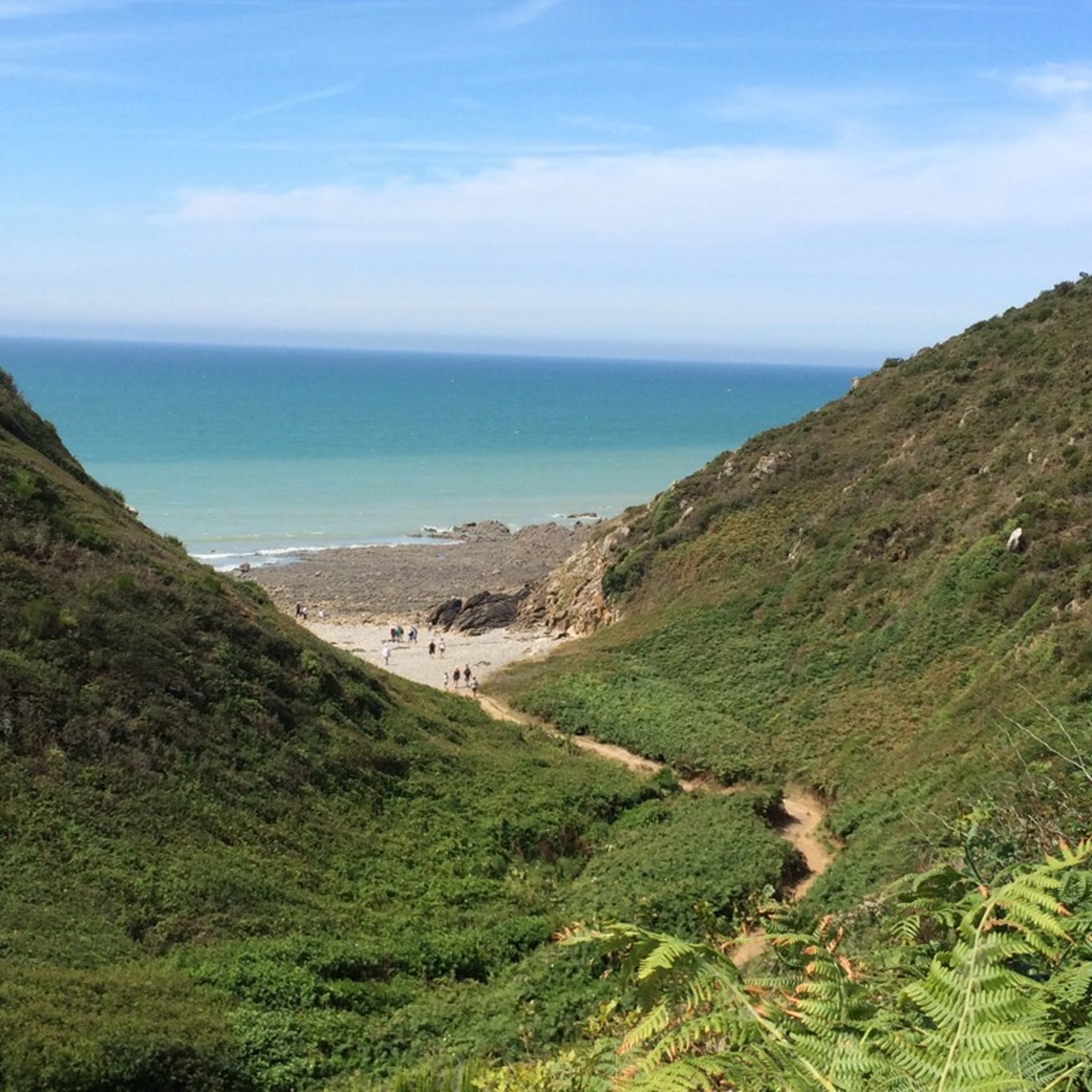
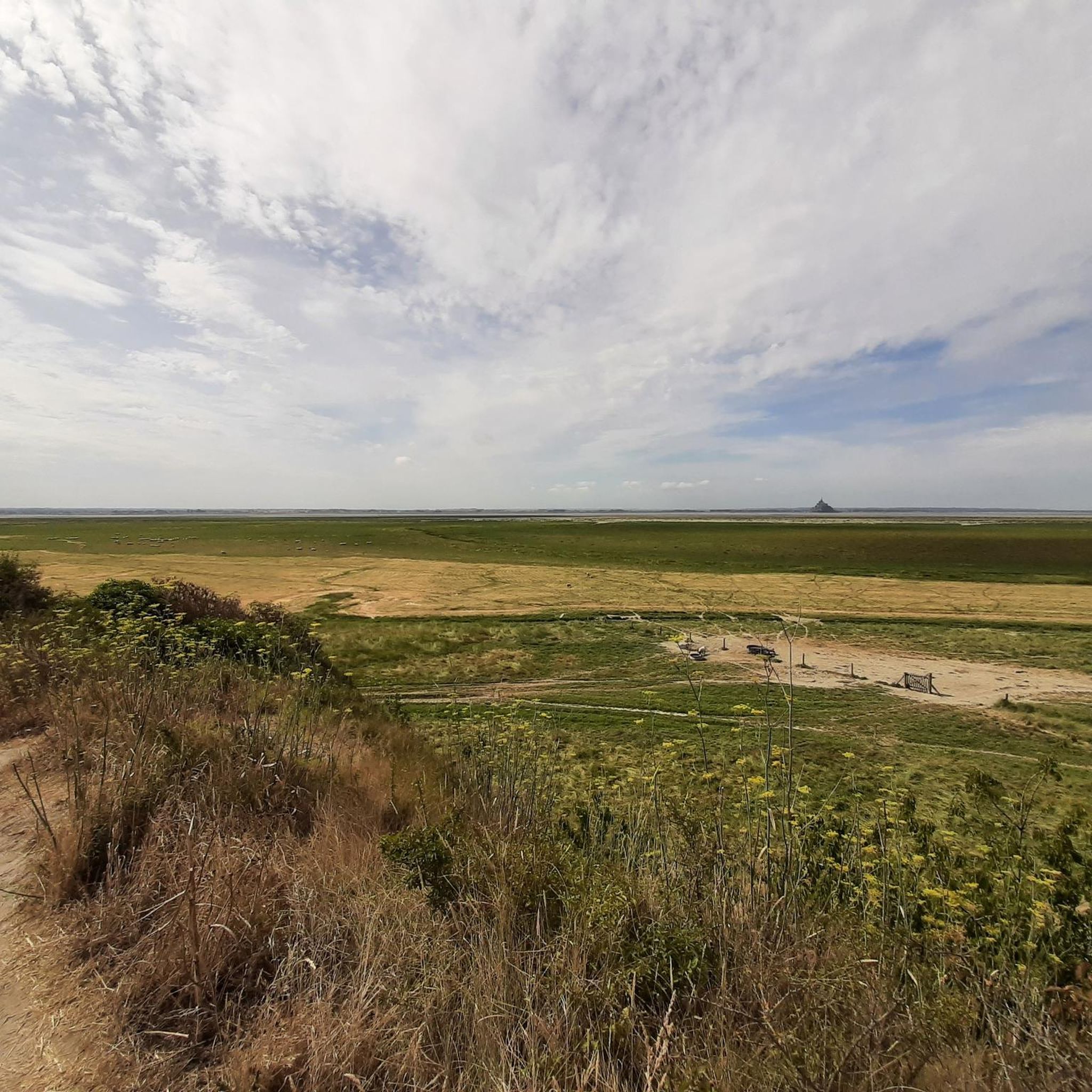
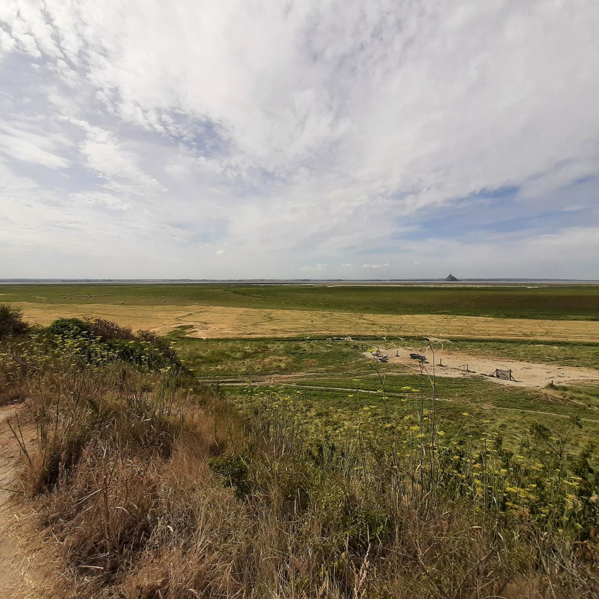
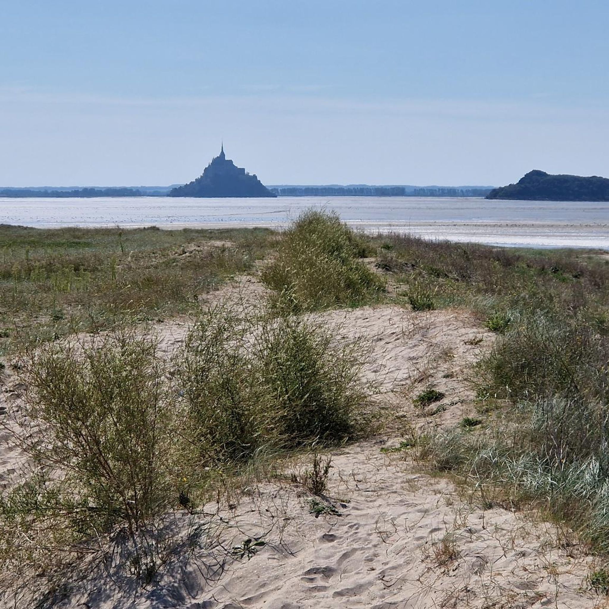
염습지길(*공공 접근은 잠기지 않은 문을 통해 가능합니다)은 만의 광활한 풍경을 가로지르며 유명한 클로스터베르크를 더 조용한 관점에서 경험할 수 있는 특히 인상적인 기회를 제공합니다. 길은 수많은 수로가 교차하는 조석에 의해 형성된 prés-salés(염습지)를 통과합니다. 이 작은 수로들은 밀물과 썰물에 따라 정기적으로 모습을 바꾸며, 초원과 반사되는 풍경과 함께 인기 있는 사진 촬영 명소를 만듭니다.
33
0
Perched high above the coast of Saint-Jean-le-Thomas, with breathtaking views of the Bay of Mont Saint-Michel, stands the Cabane Vauban – a silent witness to a bygone era. This small stone hut dates back to the 17th century and was built during the reign of the great fortress builder Vauban. It once served as a watchtower, monitoring the coast and controlling smuggling.
27
0
The Cabane Vauban was built in the 17th century and is named after the famous French fortification engineer Sébastien Le Prestre de Vauban, who was responsible for the design and reinforcement of numerous coastal fortifications during the reign of Louis XIV. The hut originally served as a shelter for sentries and customs officers monitoring the coast to detect smugglers or enemy ships early. While there are several similar observation points along the Normandy coast, the Cabane Vauban near Carolles is considered the most well-known and well-preserved.
28
0
From this point, you have a panoramic view of the Bay of Mont Saint-Michel, including: 1/ Mont Saint-Michel itself in the distance, majestic on its rocky island, and 2/ the vast salt marshes ("herbus") and mudflats, which change dramatically depending on the tide.
1
0
Its origins date back to the 6th century, when the future Saint Leonard worked in the region. In 1087, William the Conqueror granted the fief of Vains to the Abbey of Saint-Étienne in Caen, which subsequently founded the priory. The building dates back to the 11th century and has been restored several times over the centuries. Today, the priory serves as a holiday accommodation.
1
0
The Grouin du Sud is a natural headland offering impressive views of the bay and the famous Klosterberg. Depending on the tide, the landscape alternates between vast mudflats and ocean views, making the place particularly charming.
1
0
The Routout farm in Saint-Léonard was acquired by the Conservatoire du Littoral in 1994 and, after extensive renovations, opened as the Maison de la Baie/Relais de Vains in 2001. In 2011, it evolved into the Écomusée de la Baie du Mont-Saint-Michel, incorporating content from the Maison de la Baie/Relais de Courtils. Link: https://ecomusee-baie.manche.fr/lecomusee/histoire-du-site/
1
0
La Roche Torin is a prominent vantage point in the Bay of Mont Saint-Michel. This spot offers a unique view of the bay and is a popular destination for hikers and photographers, especially during strong tides (coefficient over 100). The tidal coefficient is the most important indicator for assessing the dynamics of the bay. A coefficient over 100 indicates spectacular tide conditions and a natural spectacle. Here in the Bay of Mont Saint-Michel, the highest tides in Europe occur, with a tidal range of up to 15 meters between high and low tide. Tidal range Mont Saint-Michel: https://tides4fishing.com/fr/basse-normandie/le-mont-saint-michel#_tidal_coefficient
1
0
제네츠 주변에서 가장 인기 있는 명소


더 살펴보기
다른 지역의 최고의 러닝 트레일 & 경로를 살펴보세요.
