드라제이-론톤 최고의 워킹 & 하이킹 경로
4.6
(2277)
23,209
등산객
227
하이킹
정확한 경로를 찾는 것이 때로는 어렵지만 드라제이-론톤에서 하이킹을 하면 다양한 경치를 마음껏 감상할 수 있답니다. 드라제이-론톤에서 가장 멋진 하이킹과 워킹 중에서 마음에 드는 활동을 시작해보세요.
마지막 업데이트: 8월 28, 2026
4.9
(89)
303
등산객
14.2km
03:53
210m
210m
보통 하이킹. 좋은 체력 필요. 실력과 관계없이 누구나 쉽게 갈 수 있는 길.
4.5
(2)
22
등산객
23.9km
06:03
40m
40m
어려운 하이킹. 우수한 체력 필요. 실력과 관계없이 누구나 쉽게 갈 수 있는 길.

무료 회원 가입
5.0
(1)
16
등산객
25.2km
06:24
60m
60m
어려운 하이킹. 우수한 체력 필요. 실력과 관계없이 누구나 쉽게 갈 수 있는 길.
5.0
(2)
17
등산객
27.7km
07:16
220m
220m
어려운 하이킹. 우수한 체력 필요. 실력과 관계없이 누구나 쉽게 갈 수 있는 길.
4.7
(3)
21
등산객
17.2km
04:22
50m
50m
보통 하이킹. 좋은 체력 필요. 실력과 관계없이 누구나 쉽게 갈 수 있는 길.
더 다양한 경로와 다른 탐험가들의 추천을 살펴보세요.
무료 회원 가입
이미 komoot 계정이 있나요?
투어 추천은 다른 사람들이 komoot에서 완료한 수천 개의 활동을 바탕으로 구성되어 있습니다.
오늘 무료 계정으로 시작하세요
다음 모험이 기다리고 있어요.
로그인 또는 가입하기

커뮤니티 팁

절벽 꼭대기에서 바다가 보이는 이 산책은 정말 멋집니다. 절벽 가장자리를 따라가는 길은 일부 구간이 꽤 가파릅니다. 이 코스는 시냇물을 따라 숲 속으로도 이어집니다.
0
0

Carolles 근처의 Lude 계곡은 보호된 해안 계곡입니다. 작은 개울이 푸른 계곡을 구불구불 흐르며 마침내 목가적인 자갈 해변에서 영국 해협으로 흘러 들어갑니다. 하이킹 코스는 가파른 절벽, 울창한 식생, 해안의 아름다운 전망이 있는 다양한 풍경을 통과합니다. 절벽을 따라 이어지는 Zöllnerpfad와 이상적으로 연결할 수 있는 조용한 자연의 장소입니다.
27
0

The documentary film "Border Paths – The Customs Officers' Trail" is described on its website as follows: "The historic Customs Officers' Trail begins at the famous pilgrimage site of Mont Saint-Michel and is now one of France's most popular hiking trails. Along its 1,700 kilometers, between Mont Saint-Michel in the north and Saint-Nazaire in the south of the Breton peninsula, hikers can discover impressive landscapes with a rich diversity of flora and fauna. Passing rugged cliffs, expansive dunes, and seemingly endless beaches, hikers become border crossers on a floating border that shifts with the rhythm of the tides." ``` The video about the "Sentier des Douaniers" (duration: 43 minutes / language: German) in the ARD media library can be accessed via the following link =>> https://www.ardmediathek.de/video/grenzwege-der-zoellnerpfad/grenzwege-der-zoellnerpfad/mdr/Y3JpZDovL21kci5kZS9zZW5kdW5nLzI4MjA0MC81MjE2OTktNTAxNzM2
1
0
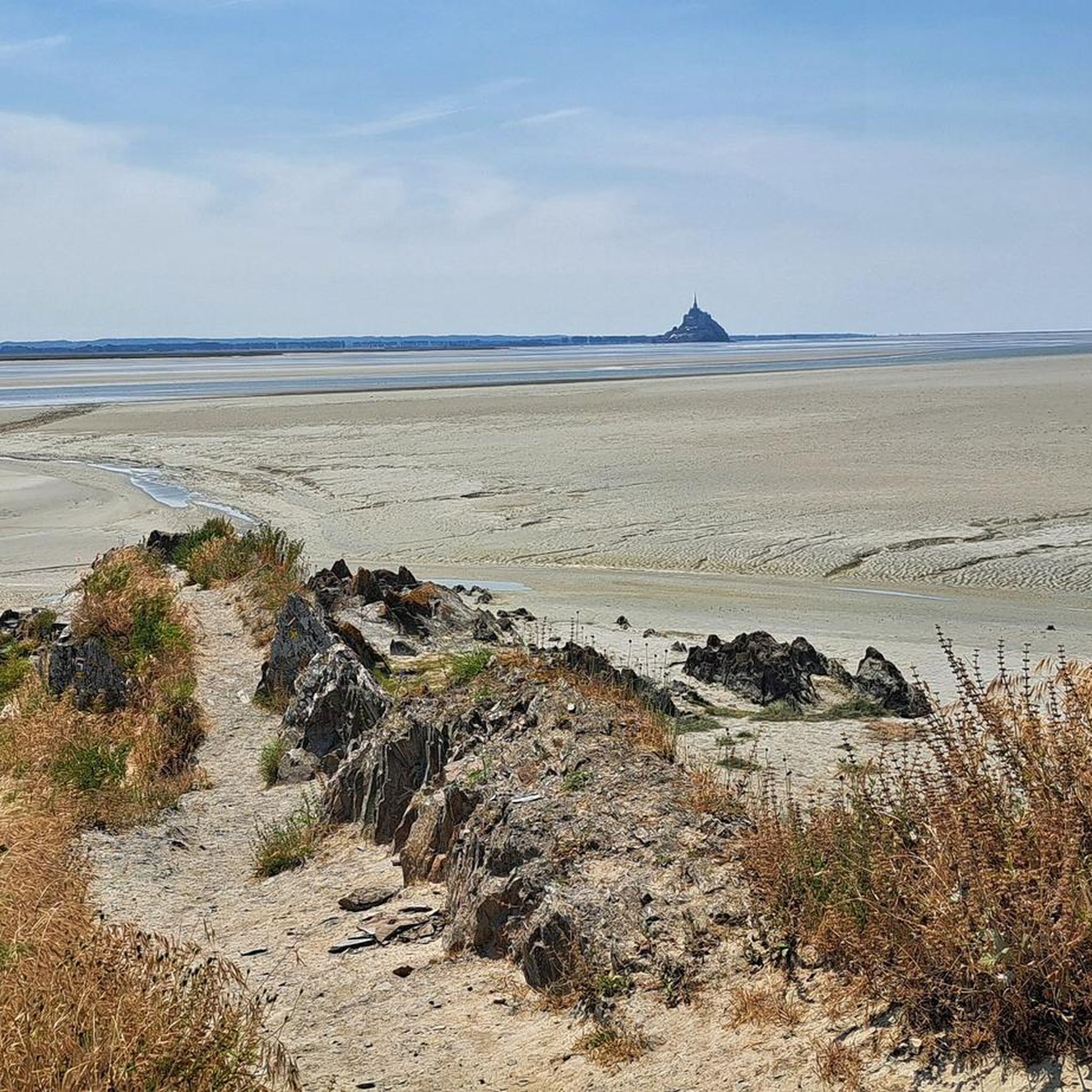
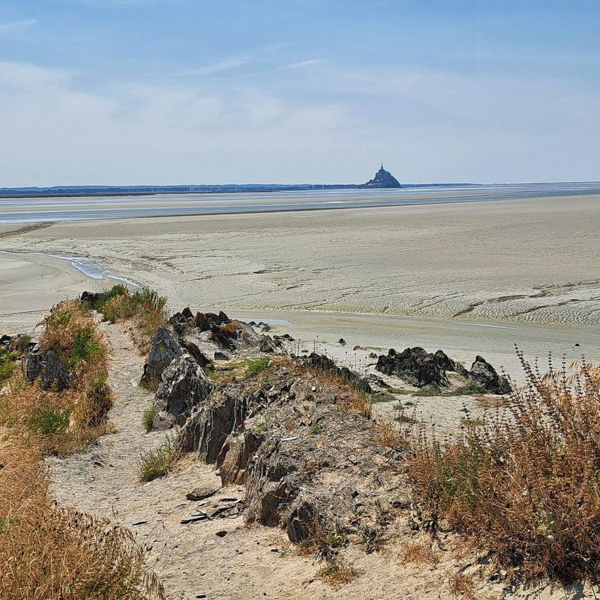
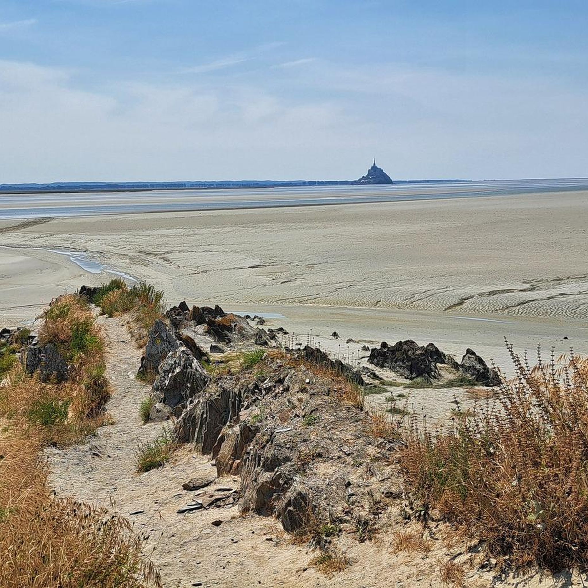
Below the Route des Falaises, on the historic Customs Officers' Path (Sentier des Douaniers), a beautiful view of Mont Saint-Michel Bay opens up. From here, the bay stretches out wide and tranquil—a fascinating interplay of sea, sand, and light that changes with every tide. On a clear day, Mont Saint-Michel rises majestically from the mudflats in the distance, surrounded by shimmering sand and the steady rhythm of the tides.
27
0
Perched high above the coast of Saint-Jean-le-Thomas, with breathtaking views of the Bay of Mont Saint-Michel, stands the Cabane Vauban – a silent witness to a bygone era. This small stone hut dates back to the 17th century and was built during the reign of the great fortress builder Vauban. It once served as a watchtower, monitoring the coast and controlling smuggling.
26
0
Cabane Vauban de Champeaux (= Fotopoint)는 Champeaux 절벽에 있는 17세기 작은 감시 및 관측용 오두막입니다. 루이 14세 시대에 요새 건축가인 보방이 해안을 감시하기 위해 구축한 방어 네트워크의 일부입니다. 나중에 세관원들이 밀수업자와 선박을 통제하기 위해 이 오두막을 사용했습니다. 현재는 GR 223 (Sentier des Douaniers)을 통해 접근할 수 있으며 몽생미셸 만의 멋진 전망을 제공합니다.
26
0
Carolles와 Saint-Jean-le-Thomas 사이에는 해변, 절벽 해안, 그림 같은 Lude 계곡이 번갈아 나타납니다. 계곡에서는 Rocher du Sard와 역사적인 Cabane Vauban에서 Mont-Saint-Michel 만의 멋진 전망을 감상할 수 있습니다. 이 구간의 일부는 과거 초소와 세관원이 해안을 감시했던 역사적인 세관원 길을 따라 이어집니다. 썰물 때의 평평한 모래 해변과 갯벌은 산책을 즐겁게 하며, GR 223은 역사와 해안 파노라마를 매력적인 하이킹으로 연결합니다.
28
0
The Cabane Vauban was built in the 17th century and is named after the famous French fortification engineer Sébastien Le Prestre de Vauban, who was responsible for the design and reinforcement of numerous coastal fortifications during the reign of Louis XIV. The hut originally served as a shelter for sentries and customs officers monitoring the coast to detect smugglers or enemy ships early. While there are several similar observation points along the Normandy coast, the Cabane Vauban near Carolles is considered the most well-known and well-preserved.
27
0
드라제이-론톤 주변에서 가장 인기 있는 명소


더 살펴보기
다른 지역의 최고의 하이킹를 살펴보세요.
