크라메닐 최고의 러닝 경로
4.3
(32)
1,838
달리기 하는 사람
133
러닝
크라메닐에서 하이킹하며 아르헨티나 구석 부분까지 살펴볼까요? 크라메닐에 있는 모든 하이킹 및 워킹 경로 컬렉션 중 가장 멋진 하이킹 경로를 엄선하여 소개해드릴게요. 다른 하이커가 공유한 실제 팁과 사진을 살펴보고 후기를 읽으며 마음에 드는 크라메닐 워킹 경로를 찾아보세요.
마지막 업데이트: 10월 26, 2026
28
달리기 하는 사람
19.6km
02:21
380m
380m
어려운 조깅. 우수한 체력 필요. 대부분 포장된 노면.
4.0
(1)
35
달리기 하는 사람
10.8km
01:14
40m
40m
보통 조깅. 좋은 체력 필요. 대부분 포장된 노면.

19
달리기 하는 사람
10.3km
01:12
130m
130m
보통 조깅. 좋은 체력 필요. 대부분 포장된 노면.
6
달리기 하는 사람
보통 조깅. 좋은 체력 필요. 대부분 포장된 노면.
5
달리기 하는 사람
5.67km
00:37
60m
60m
보통 조깅. 좋은 체력 필요. 대부분 포장된 노면.
더 다양한 경로와 다른 탐험가들의 추천을 살펴보세요.
이미 komoot 계정이 있나요?
투어 추천은 다른 사람들이 komoot에서 완료한 수천 개의 활동을 바탕으로 구성되어 있습니다.
오늘 무료 계정으로 시작하세요
다음 모험이 기다리고 있어요.
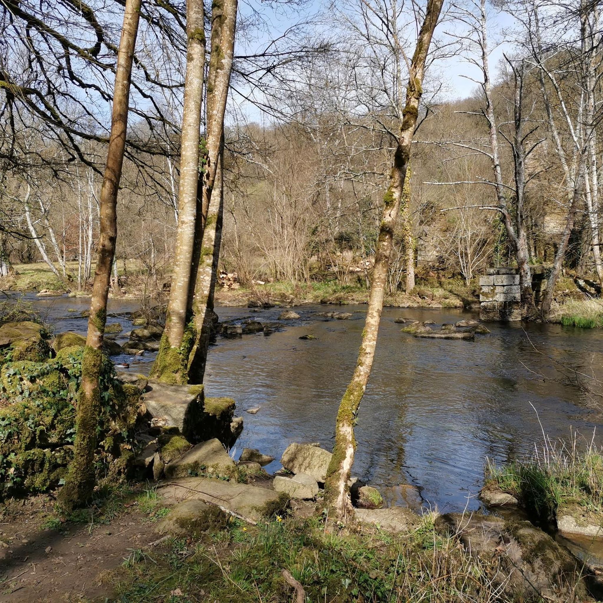
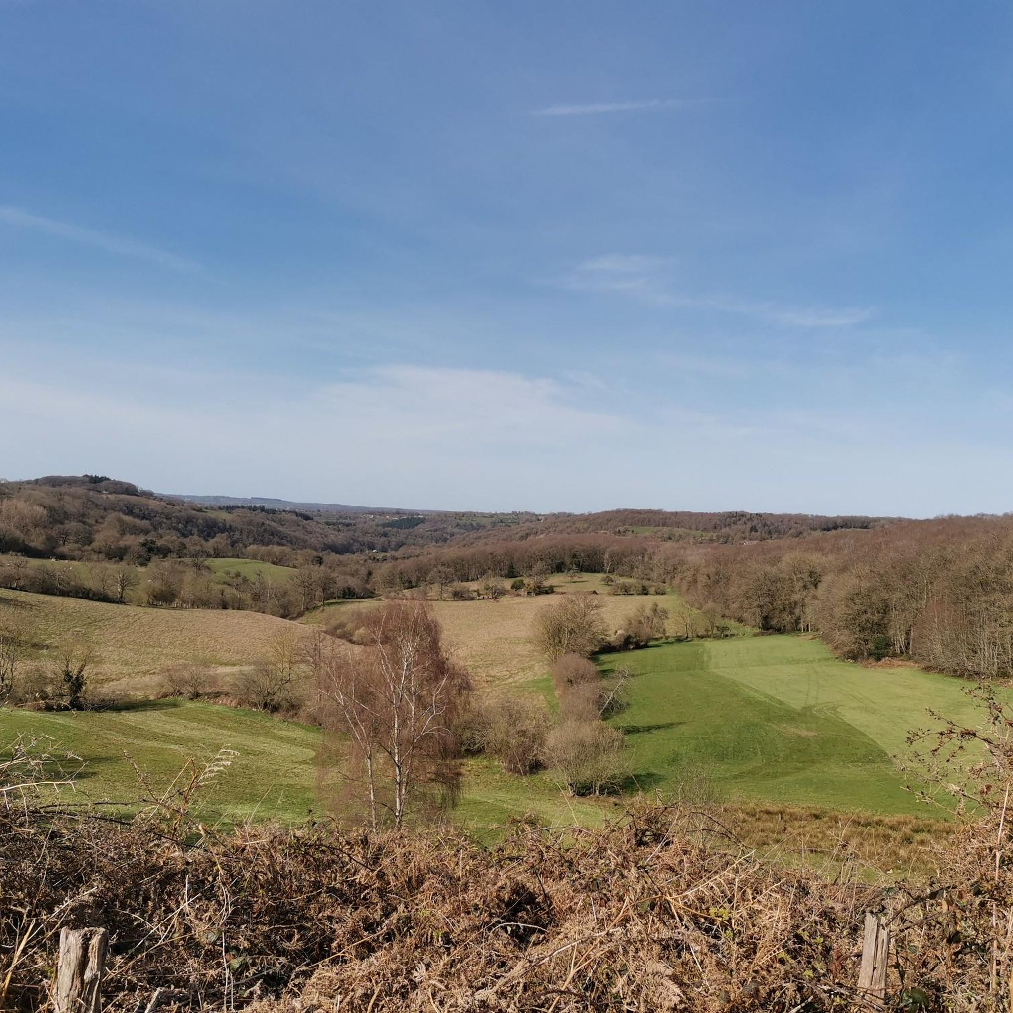
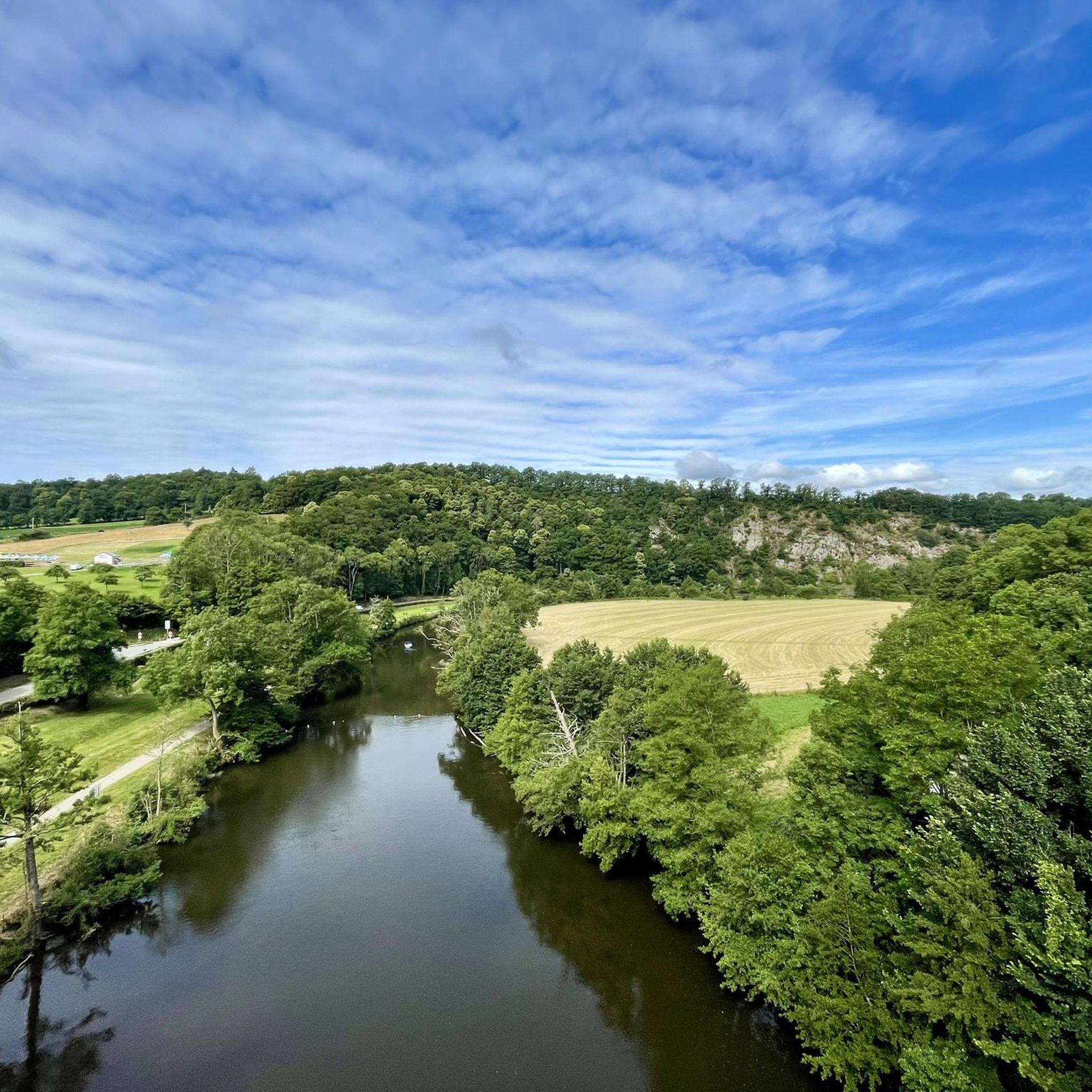
커뮤니티 팁

An artificial pool situated in a wild and beautiful landscape, surrounded by forests. Supervised swimming is possible.
0
0


Super Hard because of many trees across the path but otherwise accessible to beginners
0
0
From here you have a beautiful view of the Marais du Grand-Hazé, the largest marshy area in the Orne. It is labeled Sensitive Natural Space and can be visited on foot via a 7 km signposted loop.
0
0

Large lake in the Orne department, located in Suisse Normande. Artificial lake, but very well preserved and landscaped, you can walk there, with even the presence of a restaurant boat during the holidays!
0
0

Superb place, calm, on the borders of the Suisse Normande.
0
0

The history of Lake Rabodanges begins in 1919, when a first study was carried out by the Norman Society of Studies for the development of the Orne basin and its tributaries. The bed of the Orne presents, over four kilometers, from the entrance to the exit of the Gorges de St-Aubert, an exceptional gradient that cannot be found anywhere else in Normandy: of the order of 40 meters . In addition, the narrowness of the valley, at the entrance of these gorges, joined to a splendid natural basin developing upstream, enabled engineers to plan the ambitious work of a dam and a reservoir of important water. The Rabodanges basin allows storage of 6 million m3 of water, over 95 hectares, retained by a dam 160 meters long and 17 meters high. Source: http://www.office-tourisme-putanges.com
1
0
The history of Lake Rabodanges begins in 1919, the date when a first study was established by the Société Normande d’études pour l’development of the Orne basin and its tributaries. The bed of the Orne presents, over four kilometers, from the entrance to the exit of the Gorges de St-Aubert, an exceptional slope that is not encountered anywhere else in Normandy: of the order of 40 meters . Furthermore, the narrowness of the valley at the entrance to these gorges, combined with a splendid natural basin developing upstream, allowed engineers to plan the ambitious work of a dam and a reservoir. significant water. The Rabodanges basin allows storage of 6 million m3 of water, over 95 hectares, retained by a dam 160 meters long and 17 meters high. Source: http://www.office-tourisme-putanges.com
1
0
크라메닐 주변에서 가장 인기 있는 명소


더 살펴보기
다른 지역의 최고의 러닝 트레일 & 경로를 살펴보세요.
