툴리 최고의 워킹 & 하이킹 경로
4.4
(1569)
9,043
등산객
155
하이킹
정확한 경로를 찾는 것이 때로는 어렵지만 툴리에서 하이킹을 하면 다양한 경치를 마음껏 감상할 수 있답니다. 툴리에서 가장 멋진 하이킹과 워킹 중에서 마음에 드는 활동을 시작해보세요.
마지막 업데이트: 8월 19, 2026
4.6
(29)
121
등산객
13.8km
03:36
100m
100m
보통 하이킹. 좋은 체력 필요. 실력과 관계없이 누구나 쉽게 갈 수 있는 길.
4.0
(3)
55
등산객
5.30km
01:27
80m
80m
초급용 하이킹. 모든 체력 수준에 적합. 실력과 관계없이 누구나 쉽게 갈 수 있는 길.

무료 회원 가입
4.6
(5)
27
등산객
11.0km
02:56
120m
120m
보통 하이킹. 좋은 체력 필요. 실력과 관계없이 누구나 쉽게 갈 수 있는 길.
4.8
(4)
20
등산객
6.93km
01:52
80m
80m
초급용 하이킹. 모든 체력 수준에 적합. 실력과 관계없이 누구나 쉽게 갈 수 있는 길.
4.5
(2)
6
등산객
8.56km
02:14
60m
60m
보통 하이킹. 좋은 체력 필요. 실력과 관계없이 누구나 쉽게 갈 수 있는 길.
더 다양한 경로와 다른 탐험가들의 추천을 살펴보세요.
무료 회원 가입
이미 komoot 계정이 있나요?
투어 추천은 다른 사람들이 komoot에서 완료한 수천 개의 활동을 바탕으로 구성되어 있습니다.
오늘 무료 계정으로 시작하세요
다음 모험이 기다리고 있어요.
로그인 또는 가입하기

커뮤니티 팁

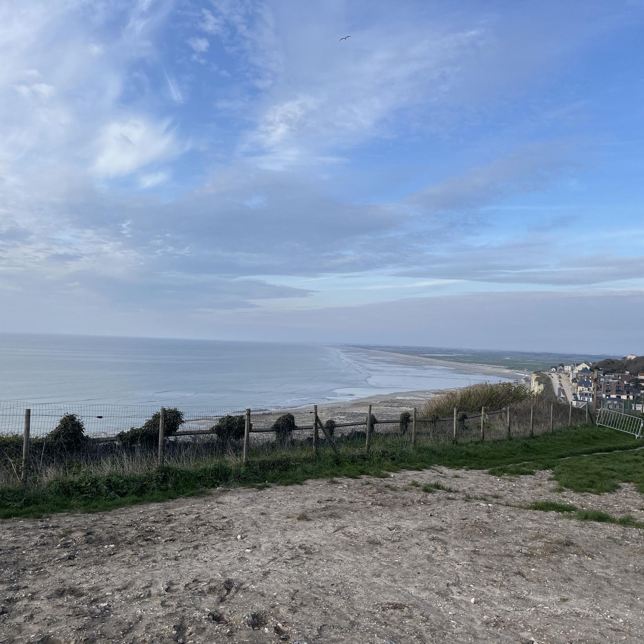
Step through the gate, then climb about 120 steps and enjoy the view.
1
0
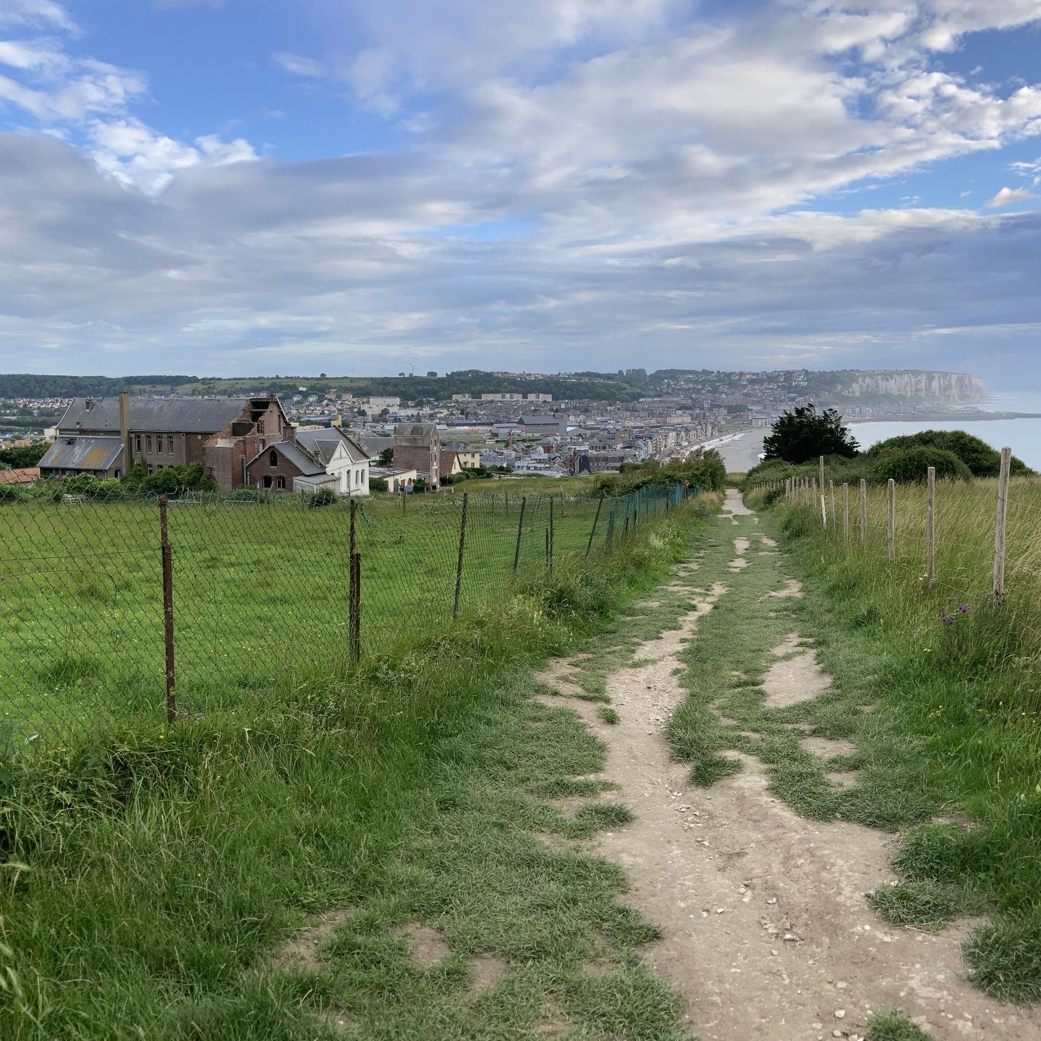
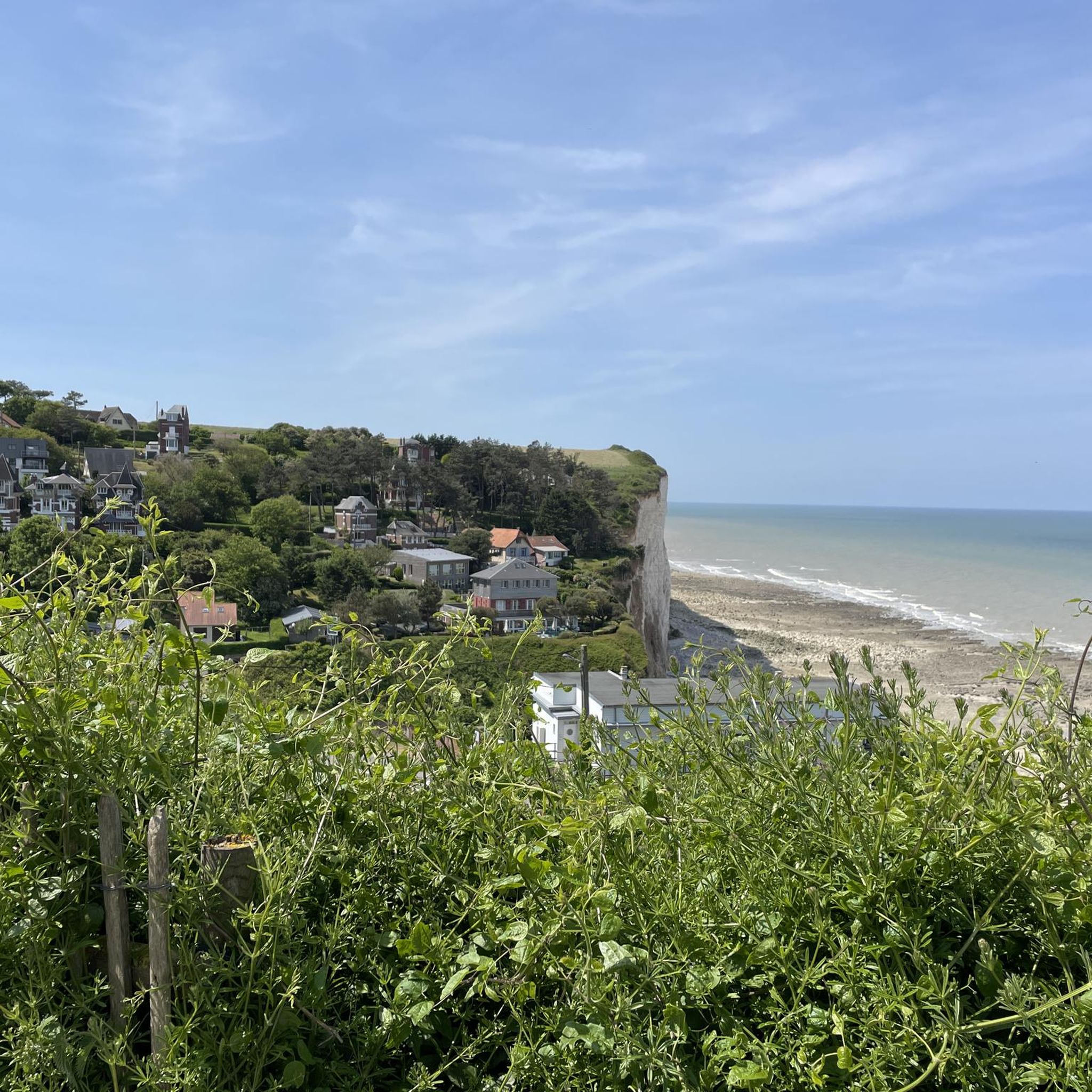
The cliffs are made of chalk and are impressive to look at.
3
0
Here in Ault begin the chalk cliffs, which stretch all the way to Normandy and repeatedly appear as enormous cliffs.
4
0

The cliffs around the beach of Ault are composed of chalk from the Upper Cretaceous, more precisely from the Turonian and Coniacian (around 83 million years ago to 90 million years ago). They are strewn with flint nodules which highlight the subhorizontal stratification planes (the formation of flint has already been discussed in Discovery of the geology of the cliffs of Étretat, presentation of an excursion from the beach of Tilleul (Antifer) to the Porte d'Amont (Étretat Nord)). The relative proportion of chalk and flint is around 90-95% chalk to 5-10% flint. Flint horizons are stratigraphic markers. On the cliffs of Ault, the regular flint band called Seven Sisters is recognizable and characterizes the boundary between the Middle Coniacian and the Upper Coniacian (around 87 million years ago). The boundary between the lower and middle Coniacian is marked by the Shoreham 2 marl level, which is more difficult to identify. These lithostratigraphic markings allow in particular the correlation of distant deposits, such as between the Normandy and Picardy coasts, or between the French and English coasts.
3
0
The cliffs surrounding Ault beach are made of Upper Cretaceous chalk, more precisely from the terminal Turonian and Coniacian (approximately 83 Ma to 90 Ma). They are dotted with flint nodules that highlight the sub-horizontal stratification planes (the formation of flint has already been discussed in À la découverte géologique des falaises d'Étretat, presentation of an excursion going from Tilleul beach (Antifer) to Porte d'Amont (Étretat Nord)). The relative proportion between chalk and flint is approximately 90-95% chalk for 5-10% flint. The flint horizons are stratigraphic markers. On the cliffs around Ault, the regular band of flint called Seven Sisters is recognizable and characterizes the limit between the Middle Coniacian and the Upper Coniacian (approximately 87 Ma). The boundary between the Lower and Middle Coniacian is marked by the Shoreham 2 marl level, which is more difficult to identify. These lithostratigraphic markers allow in particular the correlation of distant deposits, such as for example between the Normandy and Picardy coasts, or between the French and English coasts.
3
0
The cliffs around the beach of Ault are composed of chalk from the Upper Cretaceous, more precisely from the Turonian and Coniacian (around 83 million years ago to 90 million years ago). They are strewn with flint nodules which highlight the subhorizontal stratification planes (the formation of flint has already been discussed in Discovery of the geology of the cliffs of Étretat, presentation of an excursion from the beach of Tilleul (Antifer) to the Porte d'Amont (Étretat Nord)). The relative proportion of chalk and flint is around 90-95% chalk to 5-10% flint. Flint horizons are stratigraphic markers. On the cliffs of Ault, the regular flint band called Seven Sisters is recognizable and characterizes the boundary between the Middle Coniacian and the Upper Coniacian (around 87 million years ago). The boundary between the lower and middle Coniacian is marked by the Shoreham 2 marl level, which is more difficult to identify. These lithostratigraphic markings allow in particular the correlation of distant deposits, such as between the Normandy and Picardy coasts, or between the French and English coasts.
2
0

The former gravel pits of Incheville and Bouvaincourt (Les Ballastières de Incheville et Bouvaincourt) in the valley of the Bresle river are now ponds and lakes, recreational and fishing waters. Since 2015, they have also been part of the network of protected areas within the European Union Natura2000. The Vallée de la Bresle long-distance hiking trail runs through part of the area.
0
0
툴리 주변에서 가장 인기 있는 명소


더 살펴보기
다른 지역의 최고의 하이킹를 살펴보세요.
