포스 최고의 러닝 경로
4.4
(19)
1,036
달리기 하는 사람
64
러닝
포스에서 하이킹하며 생고당 구석 부분까지 살펴볼까요? 포스에 있는 모든 하이킹 및 워킹 경로 컬렉션 중 가장 멋진 하이킹 경로를 엄선하여 소개해드릴게요. 다른 하이커가 공유한 실제 팁과 사진을 살펴보고 후기를 읽으며 마음에 드는 포스 워킹 경로를 찾아보세요.
마지막 업데이트: 9월 10, 2026
93
달리기 하는 사람
17.5km
03:06
1,130m
1,130m
어려운 조깅. 우수한 체력 필요. 튼튼한 신발을 신고 미끄러지지 않게 조심해야 하며, 높은 산을 오른 경험이 있어야 함.
3.0
(1)
51
달리기 하는 사람
6.30km
01:02
340m
350m
어려운 조깅. 우수한 체력 필요. 튼튼한 신발을 신고 미끄러지지 않게 조심해야 하며, 높은 산을 오른 경험이 있어야 함.

54
달리기 하는 사람
27.0km
04:57
1,750m
1,750m
어려운 조깅. 우수한 체력 필요. 튼튼한 신발을 신고 미끄러지지 않게 조심해야 하며, 높은 산을 오른 경험이 있어야 함.
14
달리기 하는 사람
11.9km
01:38
360m
360m
어려운 조깅. 우수한 체력 필요. 튼튼한 신발을 신고 미끄러지지 않게 조심해야 하며, 높은 산을 오른 경험이 있어야 함.
14
달리기 하는 사람
3.91km
00:35
220m
220m
어려운 조깅. 좋은 체력 필요. 튼튼한 신발을 신고 미끄러지지 않게 조심해야 하며, 높은 산을 오른 경험이 있어야 함.
더 다양한 경로와 다른 탐험가들의 추천을 살펴보세요.
이미 komoot 계정이 있나요?
투어 추천은 다른 사람들이 komoot에서 완료한 수천 개의 활동을 바탕으로 구성되어 있습니다.
오늘 무료 계정으로 시작하세요
다음 모험이 기다리고 있어요.



커뮤니티 팁

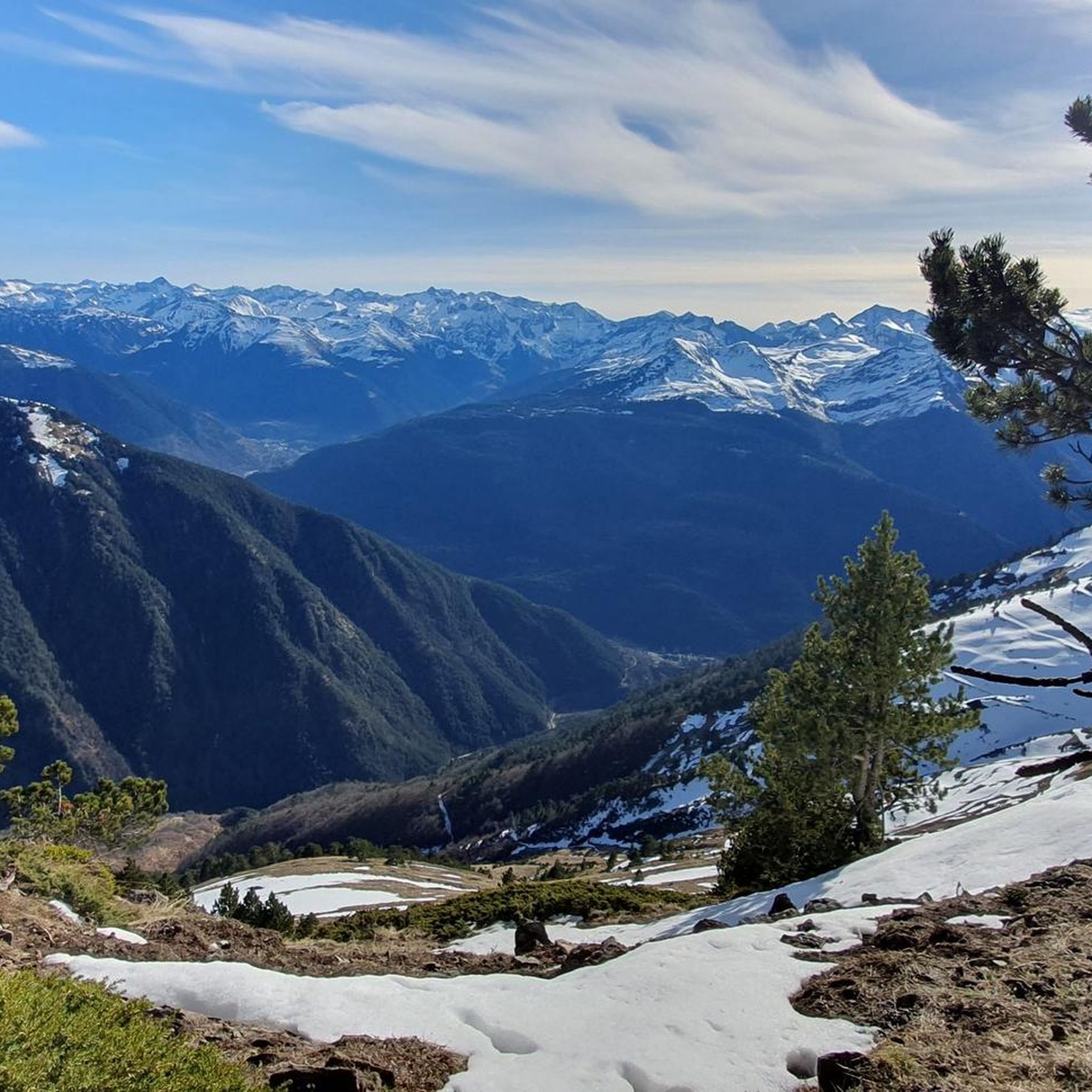
A very beautiful summit just before the Pic du Cagire. It offers a very beautiful view of many peaks: Pic de Midi de Bigorre, Aneto, etc. You can also see the Boutx ski resort!
0
0

Also, stop at the Là Soulan hostel for a well-deserved break. Very warm welcome. 👍
0
0
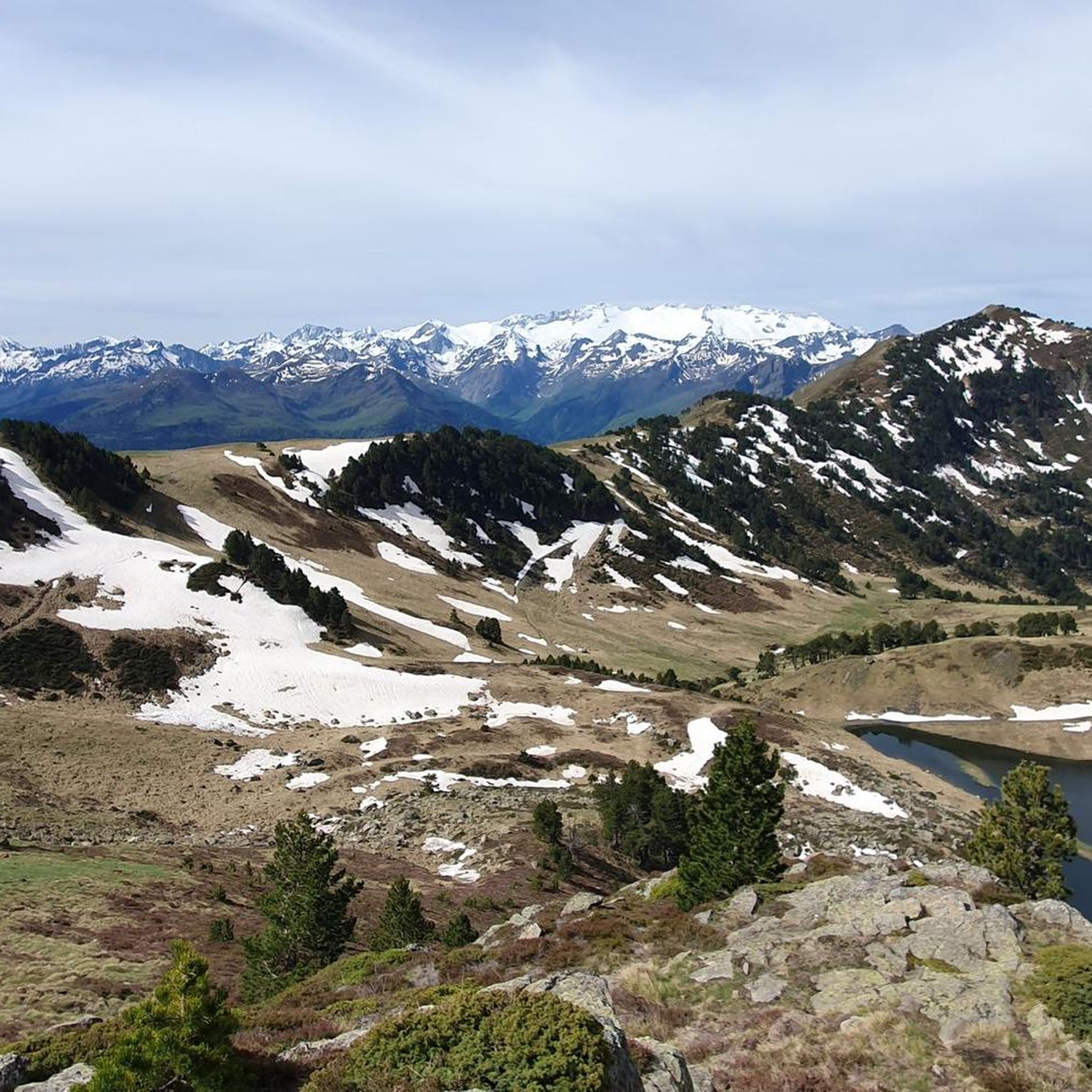
Very beautiful peak! Magnificent view of the Aneto massif! I recommend it!
0
0

I would like to make hikers aware that this route can become particularly dangerous in winter, particularly because of the ridge towards the Pas de l'Ane which can become covered in ice. In this case, ice axes and mountaineering crampons are essential. 2 people died at this location on 1/1/2025, which triggered access bans. I have taken steps to have these bans lifted while raising awareness in a constructive way. Take the time to find out about the snow conditions before undertaking this hike. Enjoy your walks!
9
1


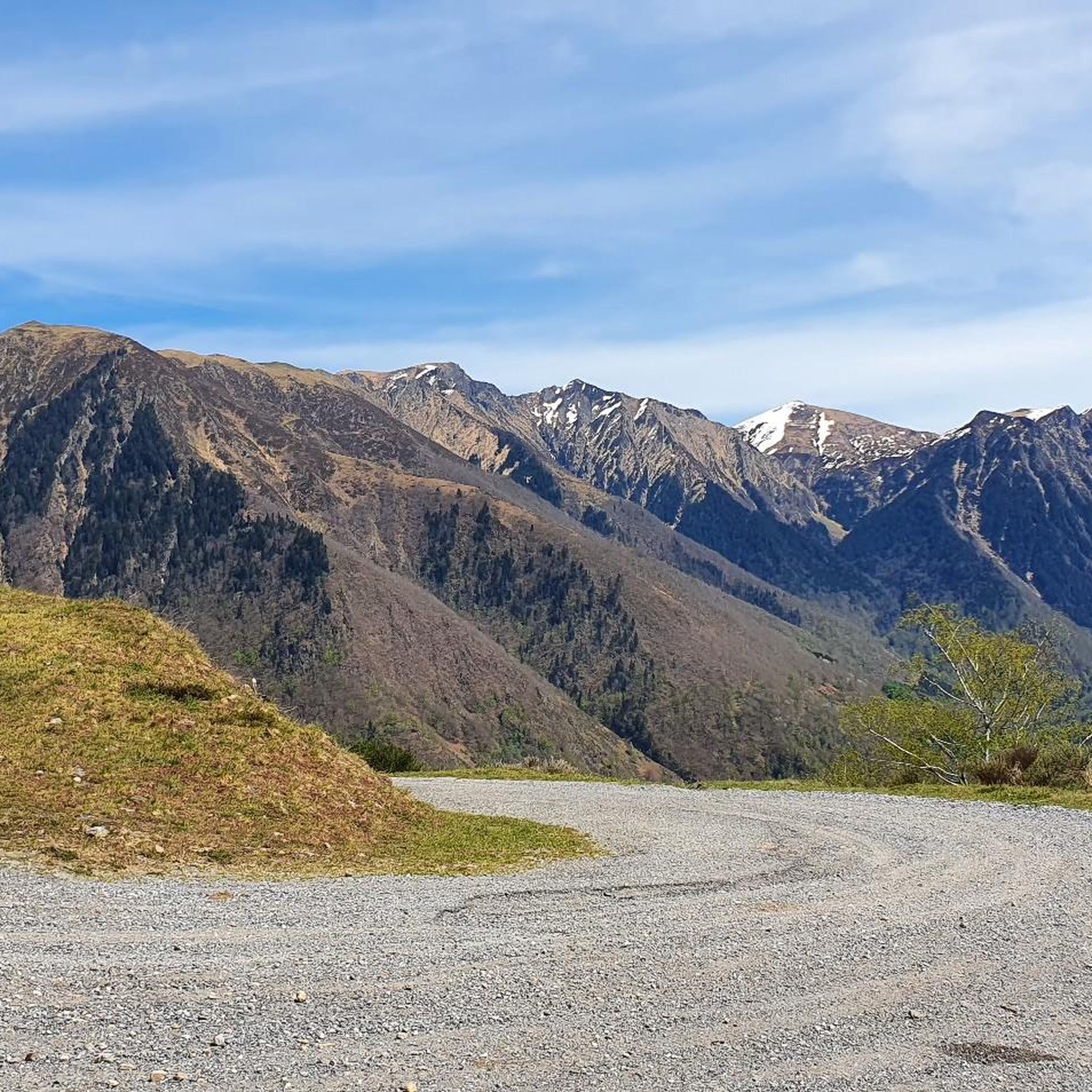
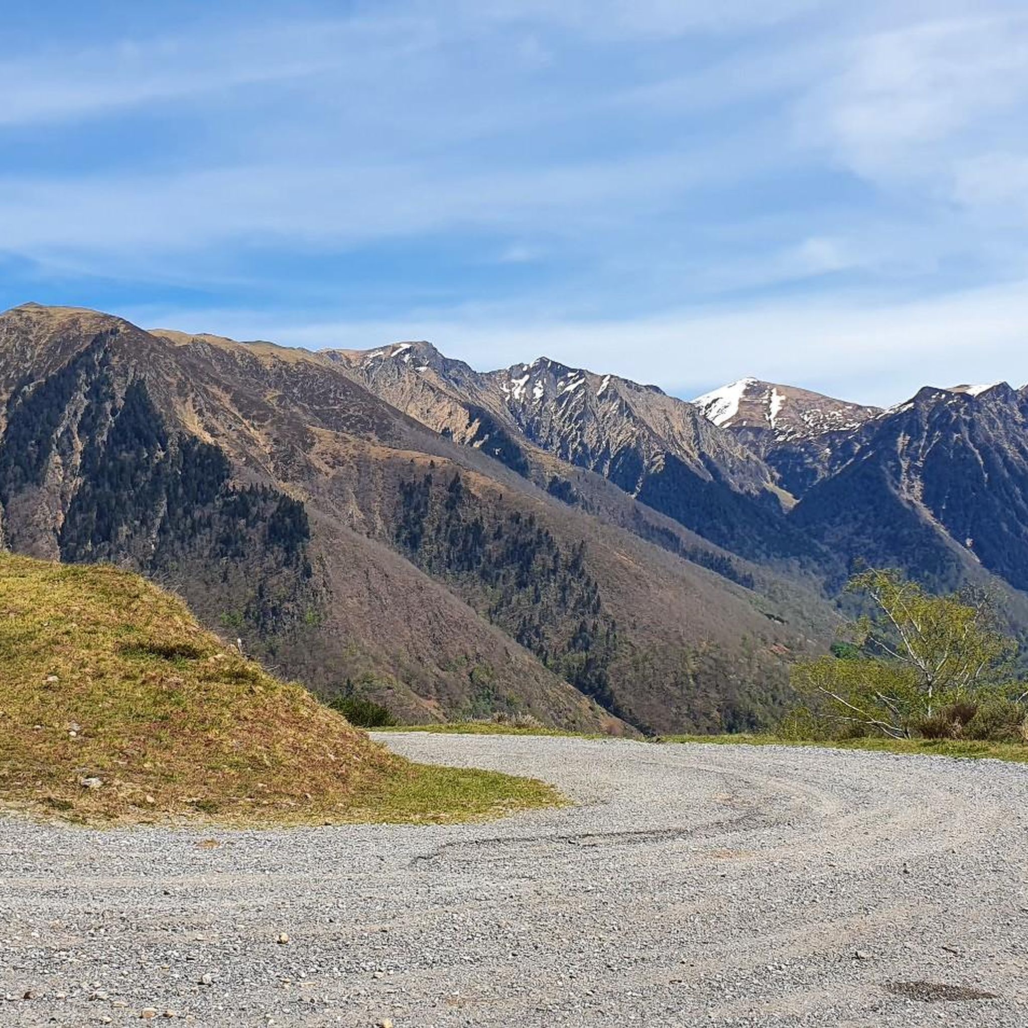
One of the mythical Pyrenean ports of the Tour de France, known largely for the tragic fall of Luis Ocaña in the 1971 Tour when he was leading the general classification. Its 2 aspects have a lot of crumbs: - west slope that starts from Saint Béat: it is the hardest. It is 9.7 km with an average slope of 8.7%. It is a very constant climb, with a small break when passing through Boux. The first part is a little harder and uglier since you barely have any views and you go up through the middle of a valley. The final part is spectacular with its many horseshoe curves, good panoramic views and the monument to the place where Luis Ocaña fell. - east slope: it is longer, with an initial section of 7 km very winding with a slope of 4%. It also has a break in its intermediate zone. Once the hard part starts, it is also very constant, like the west slope, although the average slope is 7-8%. This aspect has even more twists than the previous one. For more information, consult the profile published by cylcingcols.com -- > http://www.cyclingcols.com/col/Mente
0
0

Spectacular path that goes towards the town of Canejant. It is hard because it saves many meters in a few kilometers but it represents the old road that leaves you at the gates of the town. Stone curves that zigzag.
0
0
A small hermitage at the end of the village of Les that is perfectly preserved. The chapel is on one side of the road so it is not difficult to see it when you run past it.
0
0
포스 주변에서 가장 인기 있는 경로
포스 주변에서 가장 인기 있는 명소


더 살펴보기
다른 지역의 최고의 러닝 트레일 & 경로를 살펴보세요.
