사파이어 산맥 최고의 러닝 경로
5.0
(2)
286
달리기 하는 사람
22
러닝
사파이어 산맥에서 하이킹하며 몬태나 구석 부분까지 살펴볼까요? 사파이어 산맥에 있는 모든 하이킹 및 워킹 경로 컬렉션 중 가장 멋진 하이킹 경로를 엄선하여 소개해드릴게요. 다른 하이커가 공유한 실제 팁과 사진을 살펴보고 후기를 읽으며 마음에 드는 사파이어 산맥 워킹 경로를 찾아보세요.
마지막 업데이트: 10월 12, 2026
20
달리기 하는 사람
11.1km
01:10
40m
40m
보통 조깅. 좋은 체력 필요. 대부분 포장된 지면. 실력과 관계없이 누구나 갈 수 있음.
13
달리기 하는 사람
17.4km
02:26
700m
700m
어려운 조깅. 우수한 체력 필요. 대부분 포장된 지면. 실력과 관계없이 누구나 갈 수 있음.

10
달리기 하는 사람
보통 조깅. 좋은 체력 필요. 대부분 포장된 지면. 실력과 관계없이 누구나 갈 수 있음.
11
달리기 하는 사람
16.8km
02:55
1,200m
1,200m
어려운 조깅. 우수한 체력 필요. 대부분 포장된 지면. 실력과 관계없이 누구나 갈 수 있음.
9
달리기 하는 사람
10.6km
01:38
610m
610m
어려운 조깅. 우수한 체력 필요. 대부분 포장된 지면. 실력과 관계없이 누구나 갈 수 있음.
6
달리기 하는 사람
18.0km
02:40
910m
910m
어려운 조깅. 우수한 체력 필요. 대부분 포장된 지면. 실력과 관계없이 누구나 갈 수 있음.
4
달리기 하는 사람
14.6km
01:31
40m
40m
보통 조깅. 좋은 체력 필요. 대부분 포장된 지면. 실력과 관계없이 누구나 갈 수 있음.
6
달리기 하는 사람
10.7km
01:17
300m
300m
보통 조깅. 좋은 체력 필요. 대부분 포장된 지면. 실력과 관계없이 누구나 갈 수 있음.
3
달리기 하는 사람
2.97km
00:18
0m
0m
초급용 러닝. 모든 체력 수준에 적합. 대부분 포장된 지면. 실력과 관계없이 누구나 갈 수 있음.
3
달리기 하는 사람
5.16km
00:36
100m
100m
보통 조깅. 좋은 체력 필요. 대부분 포장된 지면. 실력과 관계없이 누구나 갈 수 있음.
더 다양한 경로와 다른 탐험가들의 추천을 살펴보세요.
이미 komoot 계정이 있나요?
투어 추천은 다른 사람들이 komoot에서 완료한 수천 개의 활동을 바탕으로 구성되어 있습니다.
오늘 무료 계정으로 시작하세요
다음 모험이 기다리고 있어요.
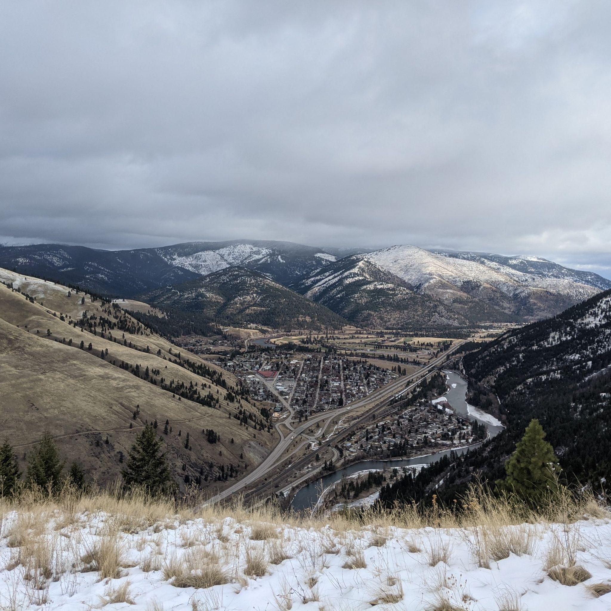
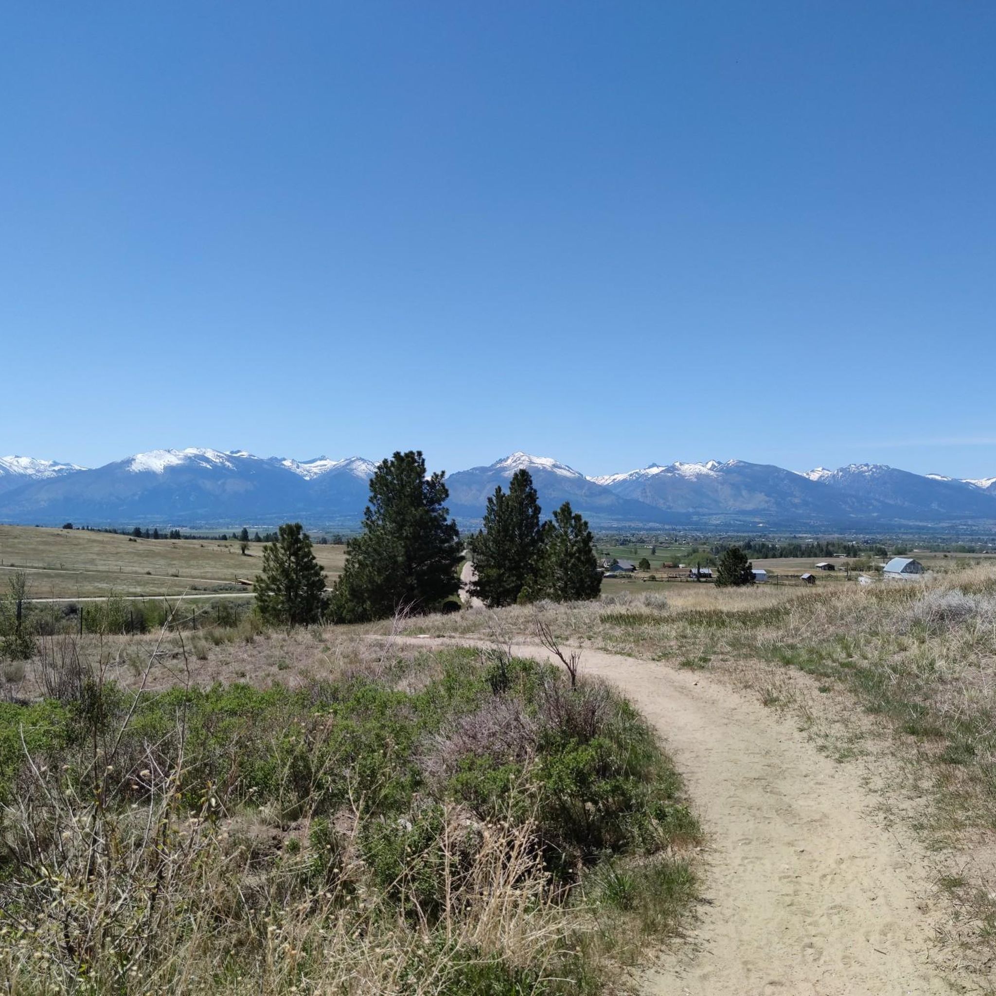
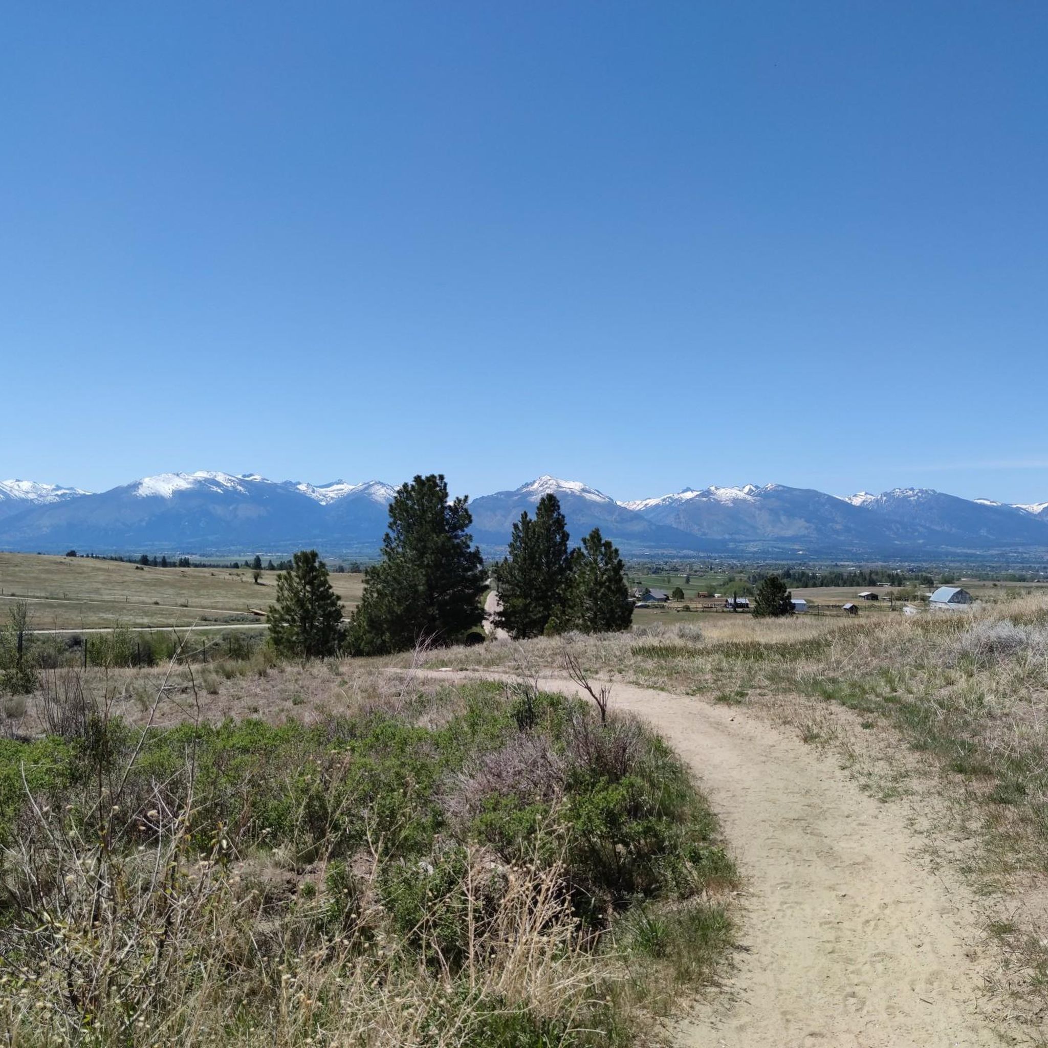
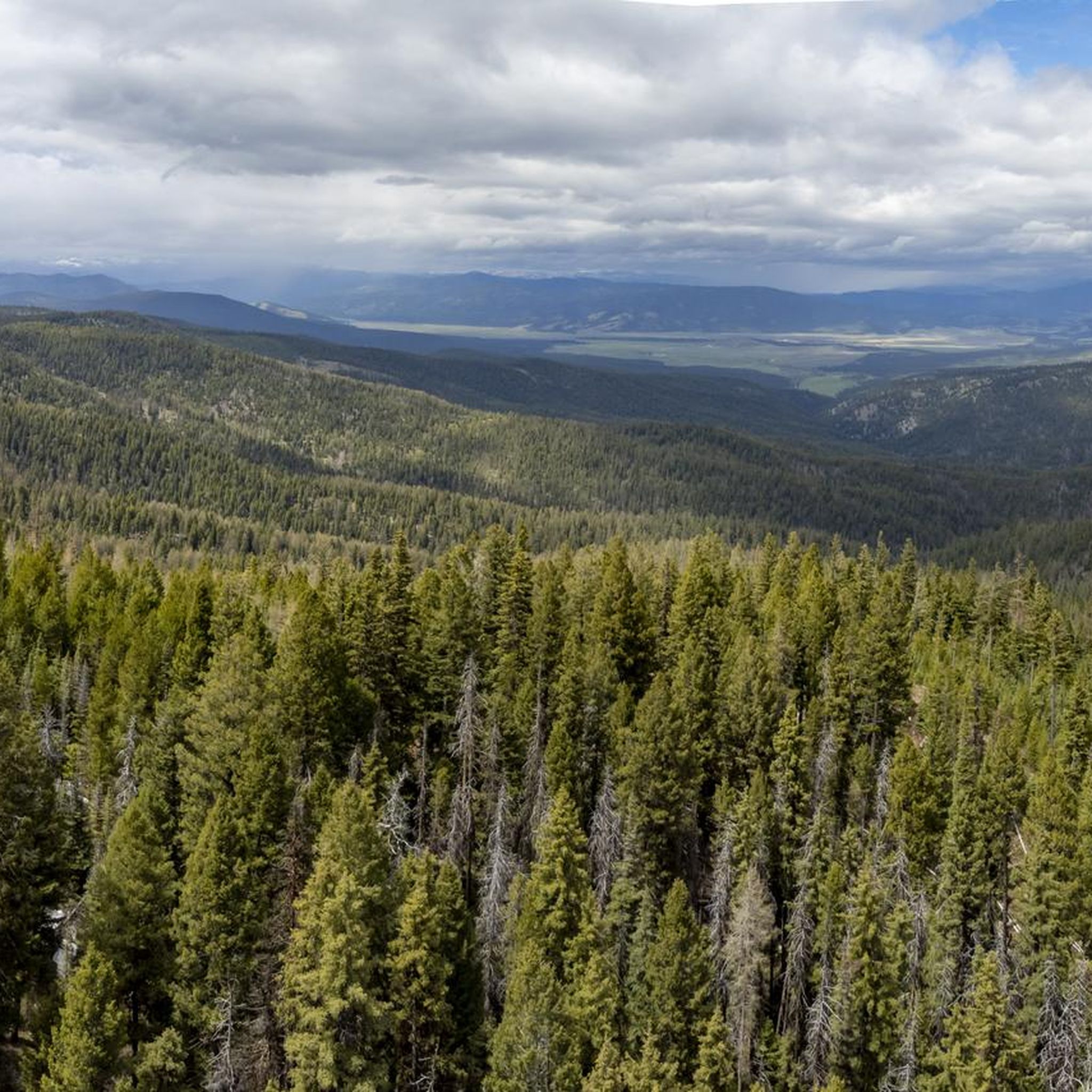

커뮤니티 팁

Jacob's Island is a dog park on the banks of Clark Fork River. The park is 6-acres and the river works as a beautiful natural barrier for the dogs. It also offers a series of paved and unpaved trails, benches, picnic tables and dog-waste bags.
0
0
Jacob's Island is a dog park on the banks of Clark Fork River. The park is 6 acres and the river works as a beautiful natural barrier for the dogs. It also offers a series of paved and unpaved trails, benches, picnic tables and dog-waste bags.
0
0

McCormic Park marks the western terminus of the Kim Williams Trail and the eastern terminus of the Milwaukee Trail. The park has some playing fields, open space, picnic areas, and is nestled up right next to the river.
0
0

The "M" on the west face of Mount Sentinel has been a Missoula landmark since 1908, when Forestry Club members forged a zigzag trail up the mountain and students carried up stones to shape the symbol of the University of Montana. The "M" Trail is a very popular area for hiking and running, so you'll likely encounter other people while exploring. Dogs are welcome, but must be on a leash. There are great views of Missoula and the entire valley from the trail, but should be noted that there is no shade, so try and get there early! Being that this trail can get crowded, there are two alternative trails back down the mountain, one in the north towards the tree-line, and a slightly longer detour trail in the south if you continue on Evan's Trail.
0
0

A park with sports fields, trails, a fishing pond & pool. Lots of water fountains, benches and grassy areas.
1
0


The Clark Fork is the river that runs through Missoula. The Kim Williams Trail runs parallel to its course. Many parks and walking and cycling paths border the river.
0
0
사파이어 산맥에서 가장 인기 있는 명소


더 살펴보기
다른 지역의 최고의 러닝 트레일 & 경로를 살펴보세요.
