화 최고의 워킹 & 하이킹 경로
4.6
(1015)
4,964
등산객
157
하이킹
정확한 경로를 찾는 것이 때로는 어렵지만 화에서 하이킹을 하면 다양한 경치를 마음껏 감상할 수 있답니다. 화에서 가장 멋진 하이킹과 워킹 중에서 마음에 드는 활동을 시작해보세요.
마지막 업데이트: 10월 14, 2026
5.0
(7)
30
등산객
20.0km
08:16
1,370m
1,370m
어려운 하이킹. 우수한 체력 필요. 튼튼한 신발을 신고 미끄러지지 않게 조심해야 하며, 높은 산을 오른 경험이 있어야 함.
4.7
(61)
296
등산객
11.1km
03:45
490m
490m
보통 하이킹. 좋은 체력 필요. 대부분 갈 수 있는 길. 미끄러지지 않게 조심해야 함.

4.7
(56)
179
등산객
14.7km
04:25
360m
360m
보통 하이킹. 좋은 체력 필요. 대부분 갈 수 있는 길. 미끄러지지 않게 조심해야 함.
4.6
(45)
199
등산객
5.56km
01:31
80m
80m
초급용 하이킹. 모든 체력 수준에 적합. 실력과 관계없이 누구나 쉽게 갈 수 있는 길.
4.6
(35)
145
등산객
8.85km
02:30
190m
180m
보통 하이킹. 좋은 체력 필요. 실력과 관계없이 누구나 쉽게 갈 수 있는 길.
더 다양한 경로와 다른 탐험가들의 추천을 살펴보세요.
이미 komoot 계정이 있나요?
투어 추천은 다른 사람들이 komoot에서 완료한 수천 개의 활동을 바탕으로 구성되어 있습니다.

커뮤니티 팁


Very beautiful chapel and also near the alm
0
0
While it would have been good if you hadn't been in a cloud
0
0

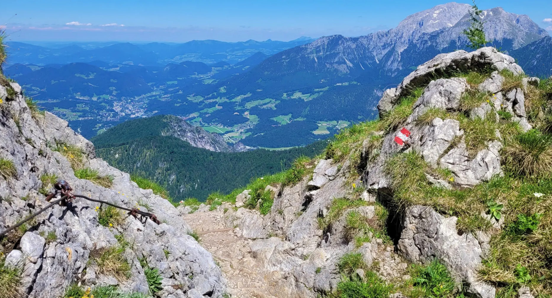
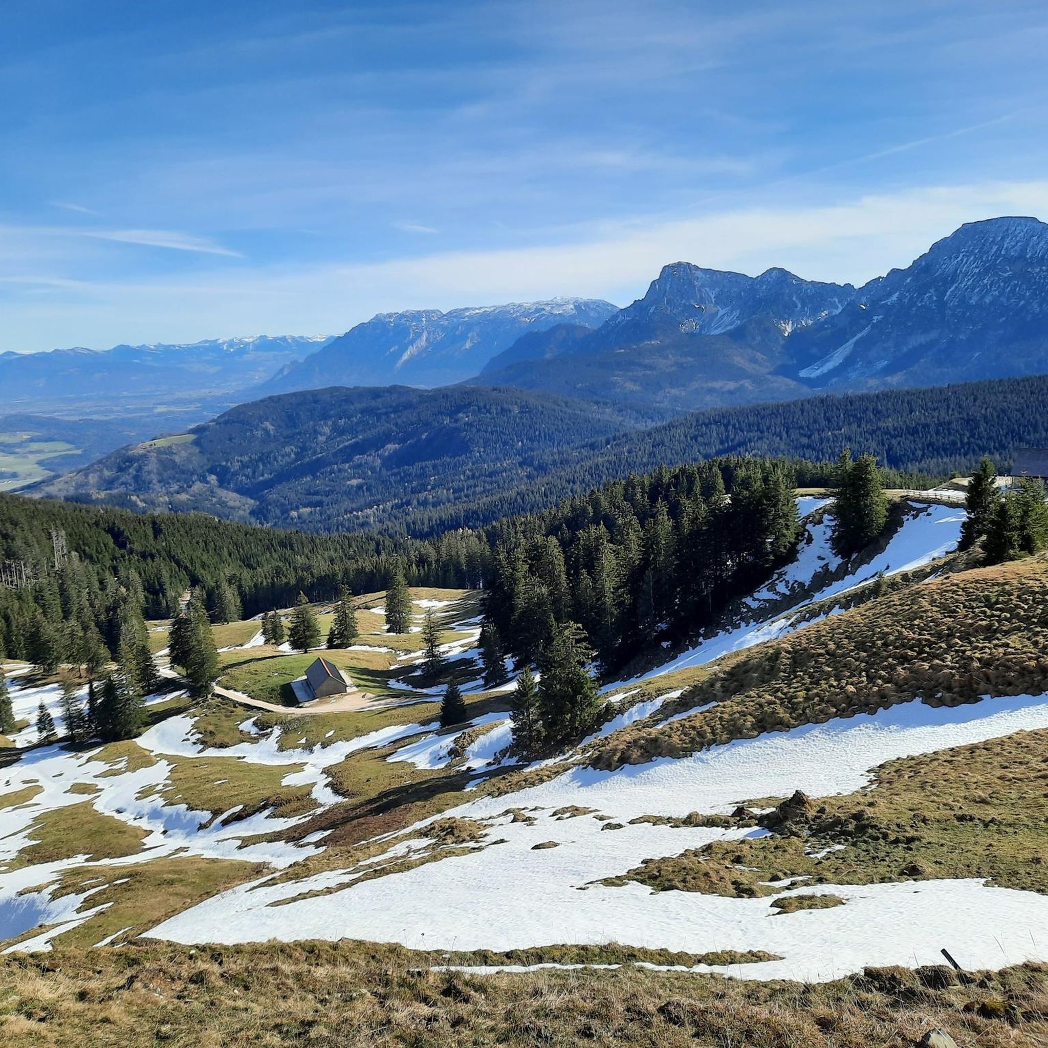
A challenging hiking trail also leads from the Steiner Alm to the Hochstaufen. Along with the standard route from the Padinger Alm, the ascent via the Steiner Alm is one of the easier routes up the Hochstaufen. However, several cable-secured sections make the trail on the north side of the Hochstaufen more challenging than the ascent on the south side. A minimum level of surefootedness is required. From the tree line, you can enjoy the interesting rocky scenery as well as beautiful views of the Chiemgau region with Lake Chiemsee and the Salzburger Land. Source: https://www.berchtesgaden.de/steineralm
1
0


Although the Berchtesgadener Land is a biosphere reserve and the area around Lake Höglwörth is a landscape conservation area, bathing and swimming in the lake is permitted at two designated spots. Opposite the larger bathing area on the northern shore of the lake, there is a small beach with lake access here in the south.
7
0
Although the Berchtesgadener Land is a biosphere reserve and the area around Lake Höglwörth is a landscape conservation area, bathing and swimming in the lake is permitted at two designated spots. The lakeside bathing area dates back to a time long before the conservation area was declared. It is the larger of the two bathing spots and is located on the northern shore of the lake, with a lawn and a small jetty. The Lakeside Café is also located here.
7
0
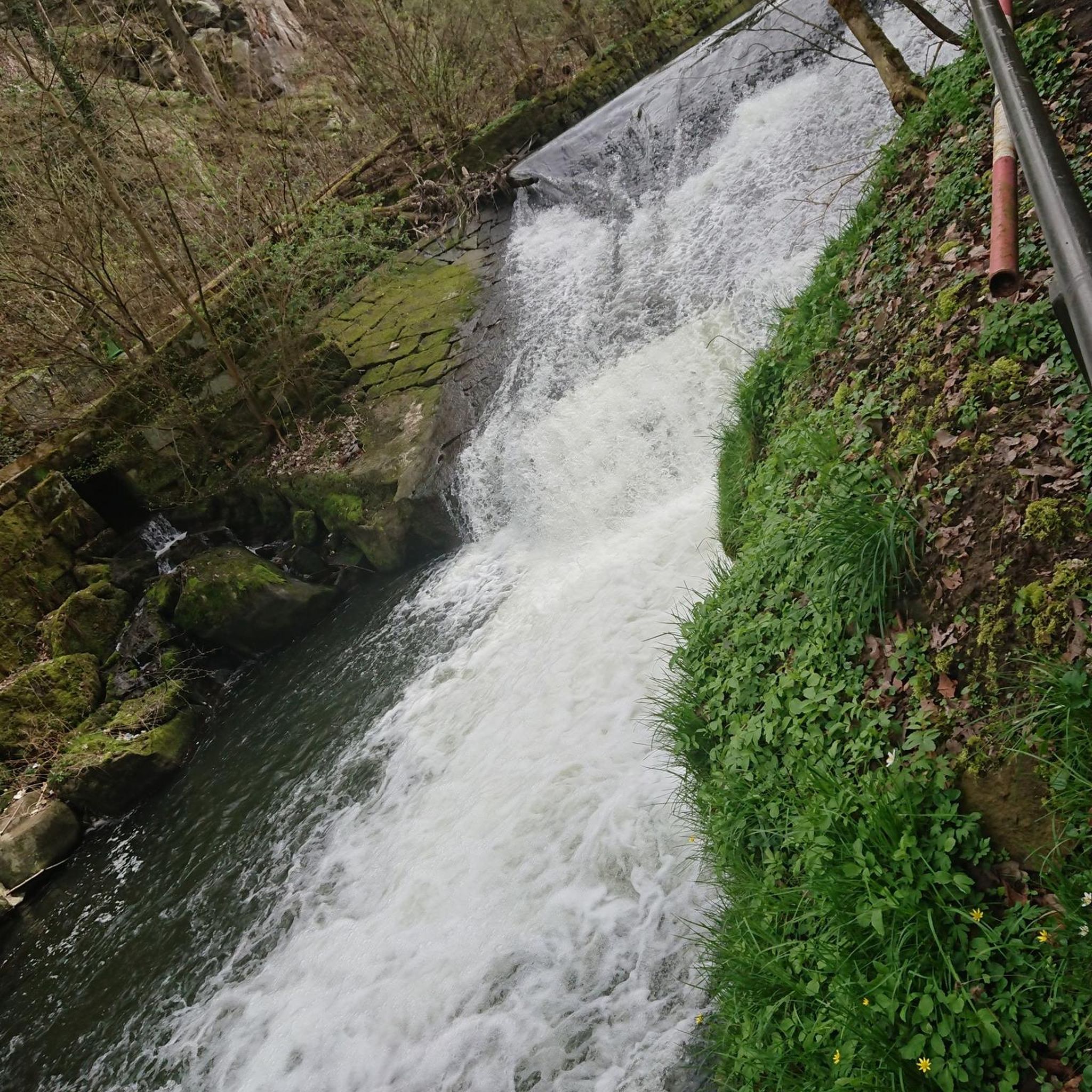
The Schornbach and Höglwörther Seebach streams, both of which rise in the hills west of the A8 motorway, merge in a pond above Lake Höglwörth. From there, the lake's largest tributary cascades through the forest, plunging more than 30 meters down the slope to the west of the lake, via numerous stone cascades.
15
0


더 살펴보기
다른 지역의 최고의 하이킹를 살펴보세요.
