암 그로센 브루흐 최고의 MTB 라이딩 경로
4.7
(181)
388
자전거 타는 사람
82
라이딩
암 그로센 브루흐에서 산악자전거 라이딩을 하면 다양한 경치를 감상할 수 있어요. 어디서 출발해야 할지 모르겠다고요? 지금부터 암 그로센 브루흐 최고의 MTB 경로를 찾을 수 있도록 가장 멋진 라이딩 장소를 소개해드릴게요!
마지막 업데이트: 7월 24, 2026
5.0
(6)
15
자전거 타는 사람
41.3km
03:17
550m
550m
보통 산악 자전거 타기. 좋은 체력 필요. 뛰어난 라이딩 실력이 필요함.
5.0
(1)
7
자전거 타는 사람
13.5km
00:45
40m
40m
보통 산악 자전거 타기. 모든 체력 수준에 적합. 뛰어난 라이딩 실력이 필요함.

무료 회원 가입
5.0
(2)
4
자전거 타는 사람
48.4km
02:53
150m
150m
보통 산악 자전거 타기. 좋은 체력 필요. 뛰어난 라이딩 실력이 필요함.
5.0
(5)
7
자전거 타는 사람
20.8km
01:33
190m
190m
초급용 산악자전거 라이딩. 모든 체력 수준에 적합. 실력과 관계없이 누구나 갈 수 있음.
4.8
(5)
7
자전거 타는 사람
20.6km
01:16
60m
60m
초급용 산악자전거 라이딩. 모든 체력 수준에 적합. 실력과 관계없이 누구나 갈 수 있음.
더 다양한 경로와 다른 탐험가들의 추천을 살펴보세요.
무료 회원 가입
이미 komoot 계정이 있나요?
투어 추천은 다른 사람들이 komoot에서 완료한 수천 개의 활동을 바탕으로 구성되어 있습니다.
오늘 무료 계정으로 시작하세요
다음 모험이 기다리고 있어요.
로그인 또는 가입하기
커뮤니티 팁

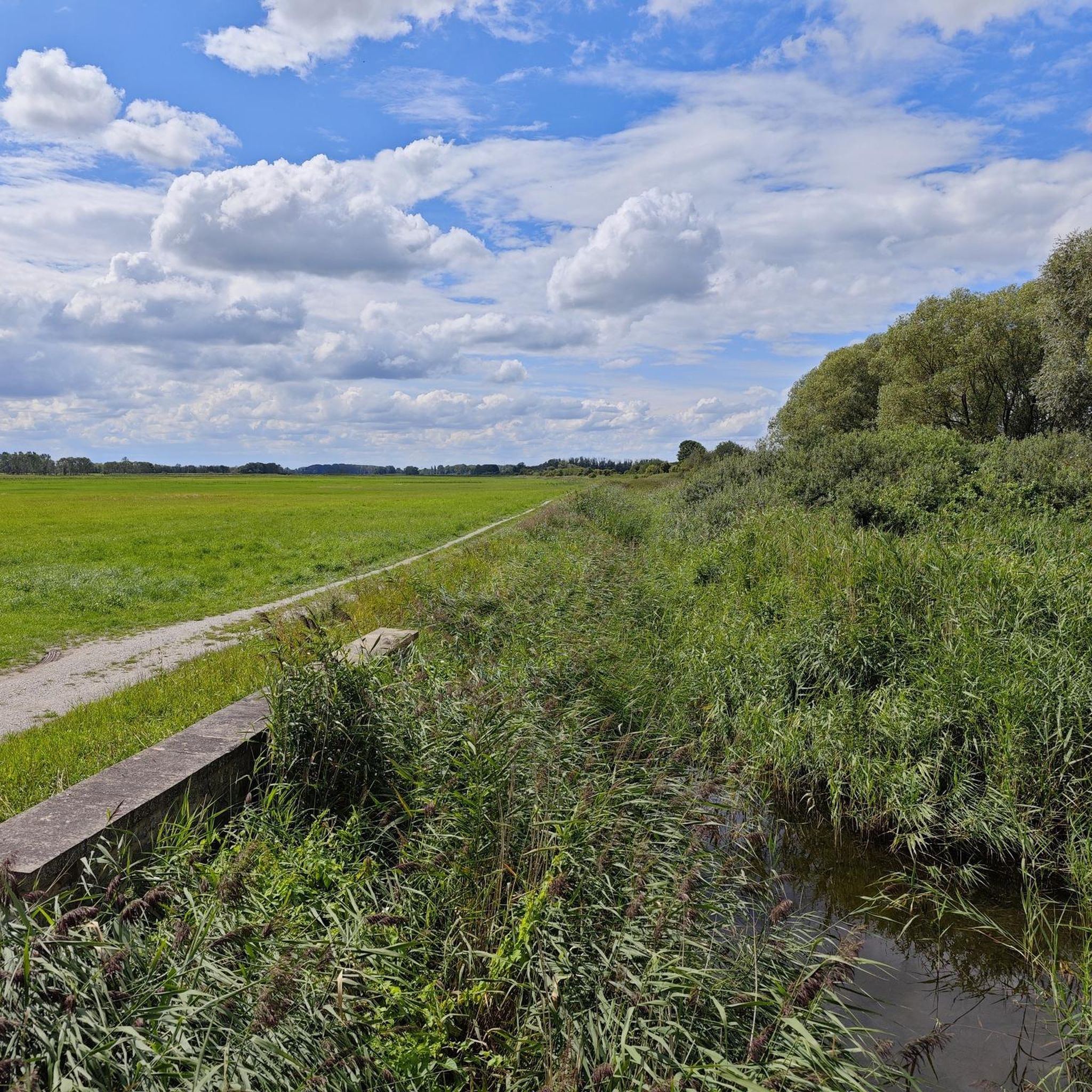
Field at the large gifts
0
0

The only former quarry without a body of water.
7
0
The Paulkopfswarte, located on the eastern edge of the Huys, is now a ruin but is a worthwhile destination. A ladder allows you to climb up to the first floor.
7
0
Not far from the Sargstedter Warte and very well preserved.
8
0
In 1910, cylinder-like depressions were uncovered in the rock in the limestone quarry on Hardelsberg (Lower Muschelkalk, formed around 240 million years ago). These are so-called glacial potholes. These hollows were washed out during the Ice Age by meltwater that carried sand and gravel. They were formed around 140,000 years ago, in the penultimate glacial period (Saale glacial period). At that time, the area was covered by several hundred meters of inland ice that stretched from Scandinavia to the edge of the Harz Mountains. Source: display board
14
0
Abbot Jasper Bernwinkel of the Huysburg monastery had the pond dug out at the end of the 14th century. It was a fish pond. Source: Wikipedia
11
0
The former watchtower from the 15th century fell into ruin over time until around 1800. In 1894 it was converted into an observation tower. In 2009 the tower, which is now 11.06 m high, was renovated and in 2013 it was given a roof. The observation platform can be reached via a total of 33 steps. Source: Wikipedia
12
1
The monastery complex, enclosed by a dry-stone wall and covering over six hectares, is situated at the highest point of the Huywald forest. The monastery buildings, including the church and cloister, stand to the west on the hilltop. The farm buildings and the monastery garden are located in the area to the east, which lies almost four meters lower. Source: Wikipedia
13
0
암 그로센 브루흐 주변에서 가장 인기 있는 명소


더 살펴보기
다른 지역의 최고의 MTB 트레일를 살펴보세요.
