실바플라나 최고의 러닝 경로
4.7
(45)
4,003
달리기 하는 사람
49
러닝
실바플라나에서 하이킹하며 말로자 구석 부분까지 살펴볼까요? 실바플라나에 있는 모든 하이킹 및 워킹 경로 컬렉션 중 가장 멋진 하이킹 경로를 엄선하여 소개해드릴게요. 다른 하이커가 공유한 실제 팁과 사진을 살펴보고 후기를 읽으며 마음에 드는 실바플라나 워킹 경로를 찾아보세요.
마지막 업데이트: 10월 22, 2026
4.3
(3)
759
달리기 하는 사람
17.3km
01:52
200m
200m
어려운 조깅. 우수한 체력 필요. 튼튼한 신발을 신고 미끄러지지 않게 조심해야 하며, 높은 산을 오른 경험이 있어야 함.
459
달리기 하는 사람
17.2km
01:49
140m
140m
어려운 조깅. 우수한 체력 필요. 대부분 포장된 노면.

4.8
(4)
429
달리기 하는 사람
12.0km
01:15
110m
110m
보통 조깅. 좋은 체력 필요. 대부분 포장된 노면.
4.5
(2)
222
달리기 하는 사람
21.5km
02:23
280m
280m
어려운 조깅. 우수한 체력 필요. 대부분 포장된 노면.
4.8
(4)
364
달리기 하는 사람
10.5km
01:08
110m
110m
보통 조깅. 좋은 체력 필요. 대부분 포장된 노면.
더 다양한 경로와 다른 탐험가들의 추천을 살펴보세요.
이미 komoot 계정이 있나요?
투어 추천은 다른 사람들이 komoot에서 완료한 수천 개의 활동을 바탕으로 구성되어 있습니다.
오늘 무료 계정으로 시작하세요
다음 모험이 기다리고 있어요.
실바플라나 주변 인기 장소
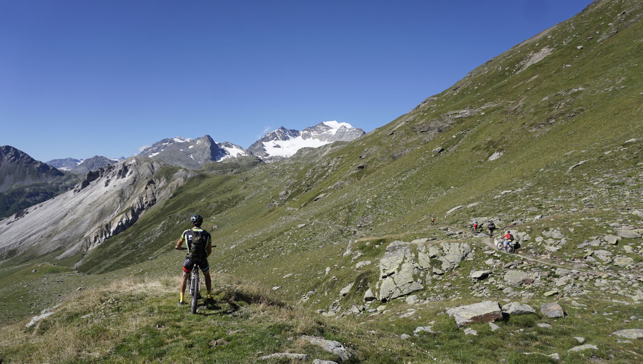
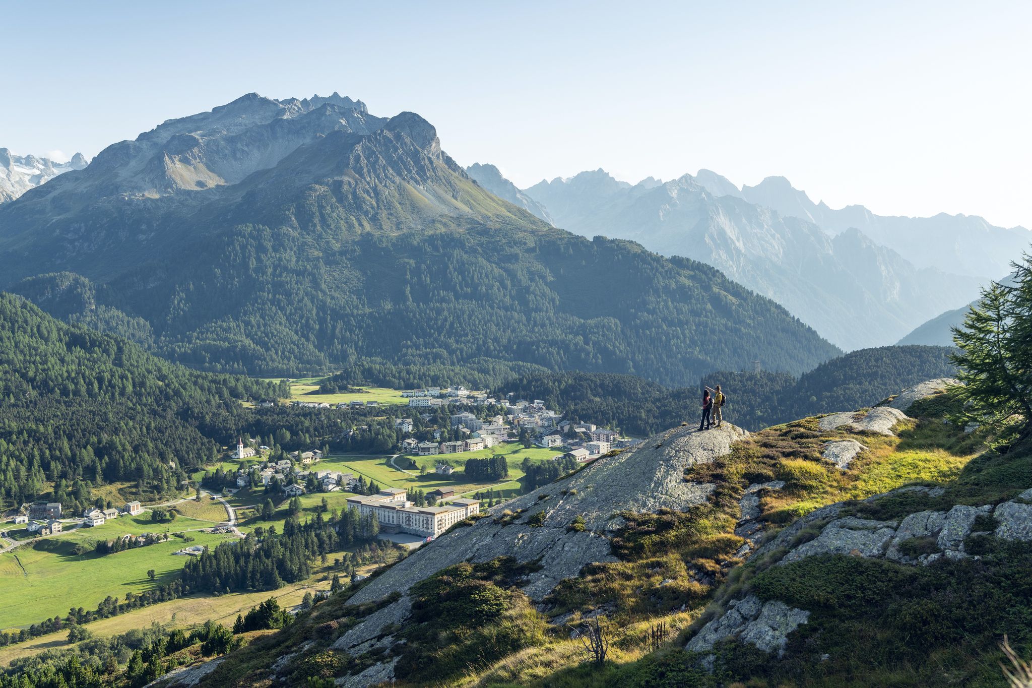
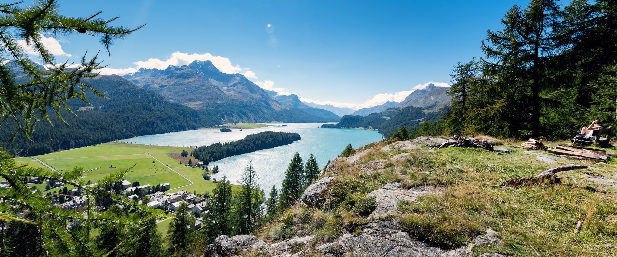
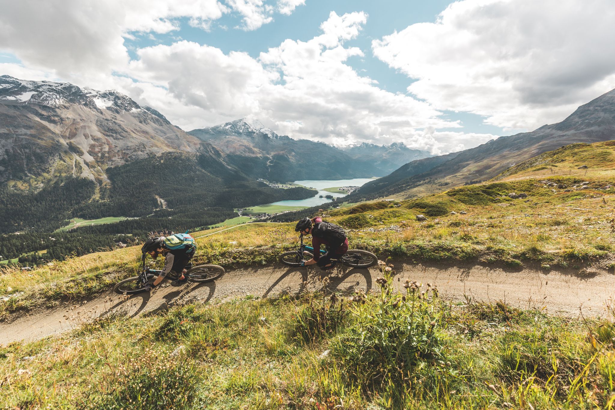
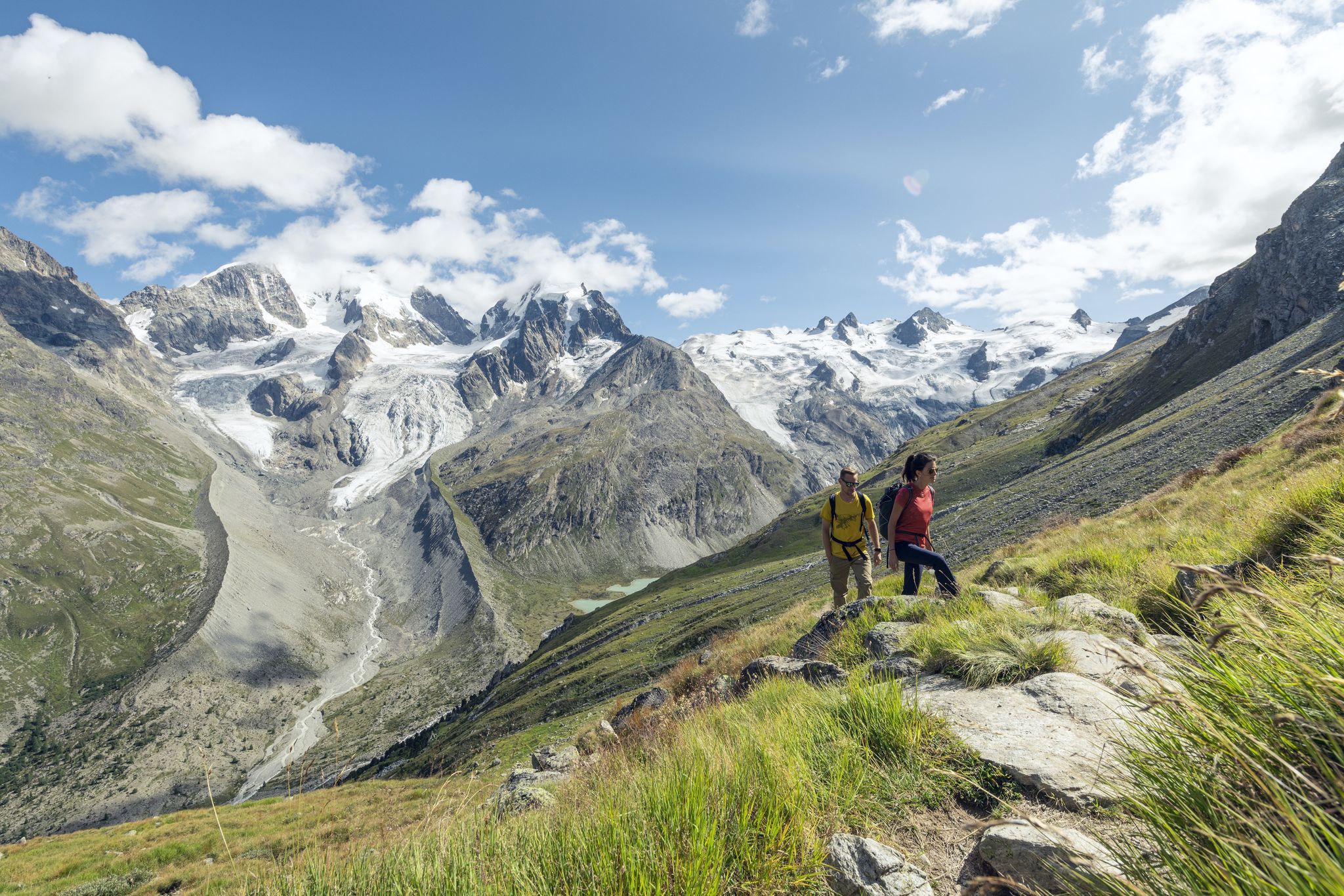
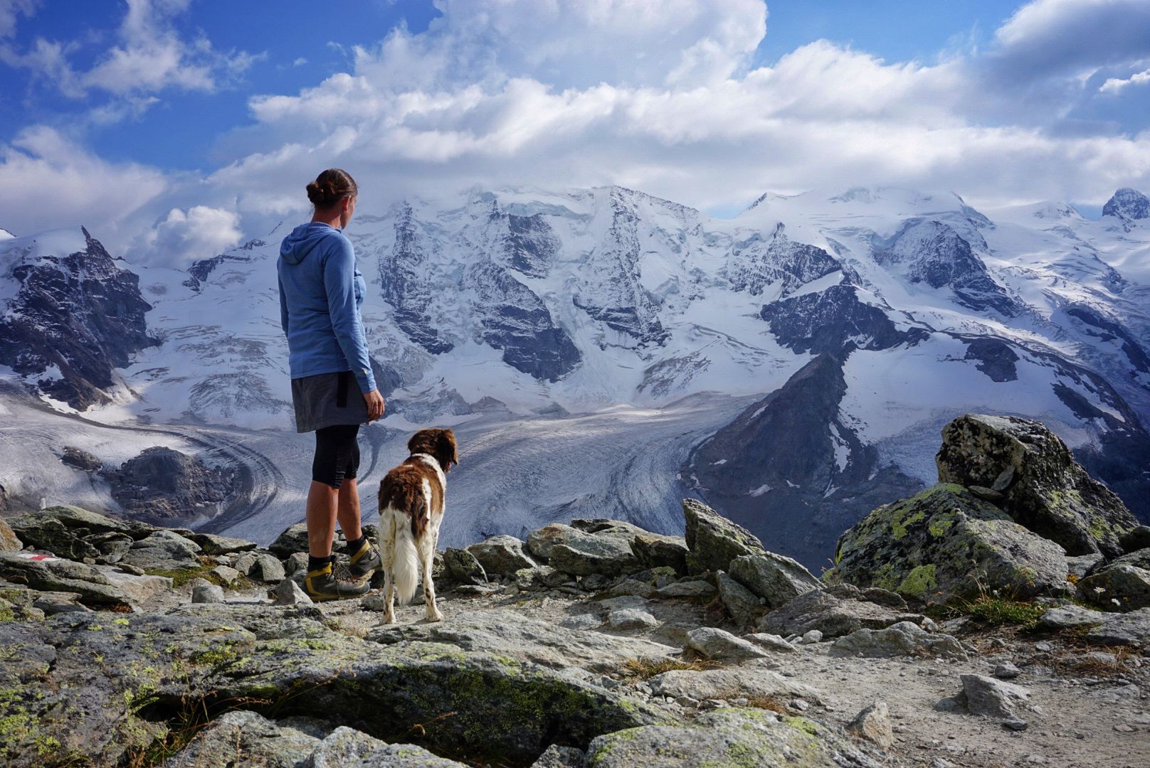
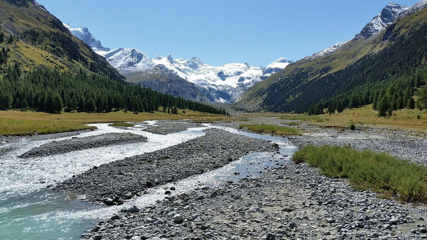
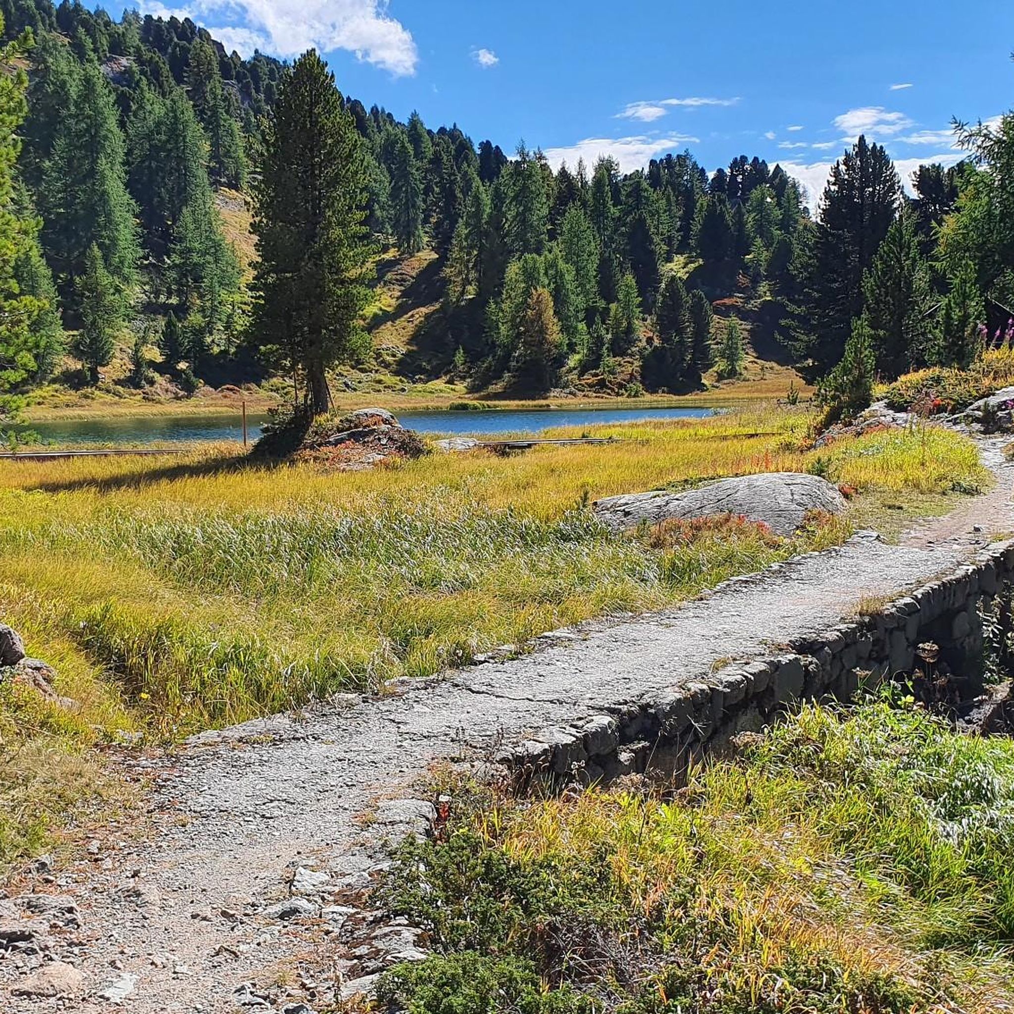


커뮤니티 팁

A Catholic church in the predominantly Protestant Engadin, built mainly for spa guests.
0
0


Silvaplanasee는 맑은 날에는 신뢰할 수 있는 Maloja 바람이 부는 이상적인 윈드서핑 및 카이트서핑 장소입니다. 낮/밤의 큰 온도 차이로 인해 Bergell의 Maloja 패스 앞 암석이 가열되고 바람이 Inntal 계곡 아래로 불어옵니다. 이 효과는 다가오는 악천후 전선으로 인해 강화될 수 있습니다 -> 그러면 정말 제대로 됩니다. 북풍(Bise) 또는 Julier 바람의 경우 바람이 약합니다. 서핑을 위한 이상적인 출발점은 넓은 주차장이 있는 서핑 센터 옆 Silvaplana 캠핑장입니다.
0
0
아름다운 호수, 수상 스포츠 애호가들에게 인기가 많으며, 호수 동쪽 기슭을 따라 매우 아름다운 길이 있습니다.
0
0

Fedacla (River) The Fedacla – also known as the Fexbach – is a stream just over 10 kilometers long in the Upper Engadine region of the canton of Graubünden. It drains the beautiful Fex Valley (Val Fex) and finally flows into Lake Silvaplana near Seglias. The mountain stream Fedacla originates at the far end of the Fex Valley from the confluence of several headstreams that flow down from the glaciers Vadret dal Güx, Vadret dal Fex, and Vadred dal Tremoggia. These confluences create the Fexbach, or Fedacla, at an altitude of approximately 2,320 meters above sea level. It then flows northwards and, after about three kilometers, passes the Alp Muot Selvas (2,069 m). Immediately after passing the Hotel Fex, it is joined from the right by the Ova dal Munt. Later, it meanders past the settlement of Crasta, then turns slightly near Platta and reaches Sils im Engadin (1809m). Here, the Fedacla flows right through the village. It then passes the Sils district of Seglias. Now it turns northeast, flows in a canal through the Suot l’Ova plain, and finally empties into Lake Silvaplana at an altitude of 1790m. Text / Source: schweizerfluss.ch https://schweizerfluss.ch/fedacla/
15
0


더 살펴보기
다른 지역의 최고의 러닝 트레일 & 경로를 살펴보세요.
