보베저 최고의 라이딩 경로
4.5
(25)
916
자전거 타는 사람
19
라이딩
보베저의 로드 사이클링 경로를 찾으시나요? 그렇다면 보베저 로드 라이딩 컬렉션 중에서 가장 멋진 라이딩 장소를 아래에서 살펴보세요.
마지막 업데이트: 9월 1, 2026
5.0
(5)
196
자전거 타는 사람
80.7km
04:11
1,420m
1,420m
어려운 도로 자전거 타기. 우수한 체력 필요. 지면 대부분이 잘 포장되어 있고 라이딩하기 쉬움.
4.3
(3)
144
자전거 타는 사람
61.2km
02:50
710m
710m
보통 도로 자전거 타기. 좋은 체력 필요. 지면 대부분이 잘 포장되어 있고 라이딩하기 쉬움.

무료 회원 가입
4.4
(10)
116
자전거 타는 사람
75.3km
03:34
1,010m
1,010m
어려운 도로 자전거 타기. 우수한 체력 필요. 지면 대부분이 잘 포장되어 있고 라이딩하기 쉬움.
5.0
(2)
108
자전거 타는 사람
38.3km
02:28
1,090m
1,090m
어려운 도로 자전거 타기. 우수한 체력 필요. 투어 중 라이딩하기 어려운 비포장 구간이 있을 수 있음.
78
자전거 타는 사람
56.8km
03:58
1,990m
1,990m
어려운 도로 자전거 타기. 우수한 체력 필요. 지면 대부분이 잘 포장되어 있고 라이딩하기 쉬움.
더 다양한 경로와 다른 탐험가들의 추천을 살펴보세요.
무료 회원 가입
이미 komoot 계정이 있나요?
투어 추천은 다른 사람들이 komoot에서 완료한 수천 개의 활동을 바탕으로 구성되어 있습니다.
오늘 무료 계정으로 시작하세요
다음 모험이 기다리고 있어요.
로그인 또는 가입하기
커뮤니티 팁

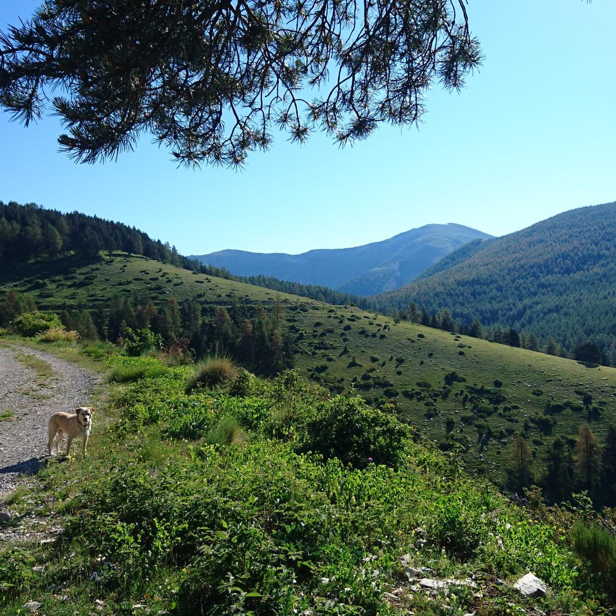
Col des Champs로 가는 오르막길의 힘든 마지막 구간은 끝없는 풍경으로 둘러싸여 있습니다
0
0

The Col des Champs is a mountain pass with an altitude of 2,087 meters and connects Haute-Provence with the Alpes-Maritimes, all within the Mercantour National Park. The pass is part of the so-called Route des Trois Cols, an interesting circular route with three passes above 2,000 meters. This route connects the Col d'Allos with the Col de la Cayolle via this pass, thus linking the Allos Valley (Haute-Verdon) with the Var Valley. Its two slopes share the ruggedness of a major Alpine pass.
0
0

Gorgeous pass with very little traffic and perfect asphalt.
18
0
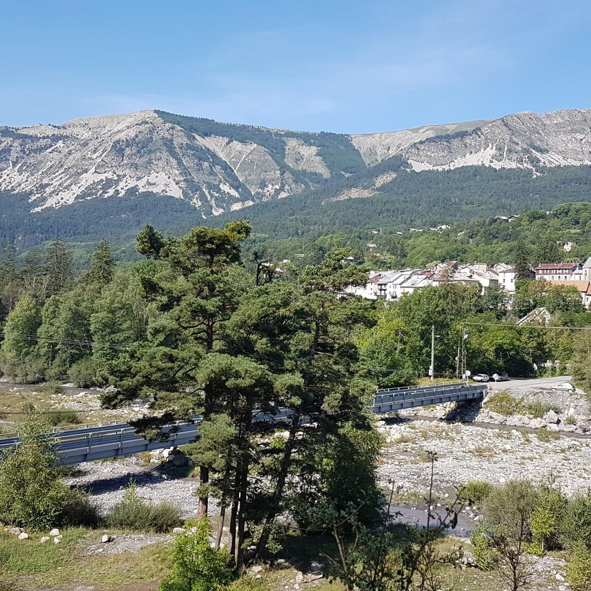
In these areas all the towns are very beautiful and well-kept.
16
0
A long climb but never too difficult, the views are stunning.
17
0
Junction that takes you to Col de la Cayolle.
18
0
Before starting the long climb to the Col des Champs it is best to stock up on water.
17
0
A very easy climb to pedal.
16
1
보베저 주변에서 가장 인기 있는 명소


더 살펴보기
다른 지역의 최고의 로드 사이클링 경로를 살펴보세요.
