플러그인 최고의 등산 경로
4.8
(50)
274
등산객
14
하이킹
플러그인에서 하이킹하며 몬테네그로 구석 부분까지 살펴볼까요? 플러그인에 있는 모든 하이킹 및 워킹 경로 컬렉션 중 가장 멋진 하이킹 경로를 엄선하여 소개해드릴게요. 다른 하이커가 공유한 실제 팁과 사진을 살펴보고 후기를 읽으며 마음에 드는 플러그인 워킹 경로를 찾아보세요.
마지막 업데이트: 9월 28, 2026
4.9
(10)
79
등산객
10.0km
05:10
790m
790m
어려운 등산 코스. 우수한 체력 필요. 튼튼한 신발을 신고 미끄러지지 않게 조심해야 하며, 높은 산을 오른 경험이 있어야 함.
4.3
(7)
47
등산객
11.6km
05:30
830m
840m
어려운 등산 코스. 우수한 체력 필요. 튼튼한 신발을 신고 미끄러지지 않게 조심해야 하며, 높은 산을 오른 경험이 있어야 함.

5.0
(2)
13
등산객
20.1km
08:13
1,260m
1,260m
어려운 등산 코스. 우수한 체력 필요. 튼튼한 신발을 신고 미끄러지지 않게 조심해야 하며, 높은 산을 오른 경험이 있어야 함.
4.4
(7)
14
등산객
14.0km
06:32
940m
940m
어려운 등산 코스. 우수한 체력 필요. 튼튼한 신발을 신고 미끄러지지 않게 조심해야 하며, 높은 산을 오른 경험이 있어야 함.
4.8
(5)
20
등산객
16.4km
05:30
710m
710m
어려운 등산 코스. 우수한 체력 필요. 튼튼한 신발을 신고 미끄러지지 않게 조심해야 하며, 높은 산을 오른 경험이 있어야 함.
4.5
(11)
27
등산객
13.6km
05:43
830m
830m
어려운 등산 코스. 우수한 체력 필요. 튼튼한 신발을 신고 미끄러지지 않게 조심해야 하며, 높은 산을 오른 경험이 있어야 함.
5.0
(1)
17
등산객
8.70km
04:30
700m
700m
어려운 등산 코스. 좋은 체력 필요. 튼튼한 신발을 신고 미끄러지지 않게 조심해야 하며, 높은 산을 오른 경험이 있어야 함.
5.0
(1)
15
등산객
15.7km
07:12
1,150m
1,150m
어려운 등산 코스. 우수한 체력 필요. 튼튼한 신발을 신고 미끄러지지 않게 조심해야 하며, 높은 산을 오른 경험이 있어야 함.
4
등산객
13.4km
04:22
550m
550m
보통 등산 코스. 좋은 체력 필요. 실력과 관계없이 누구나 쉽게 갈 수 있는 길.
5.0
(2)
10
등산객
10.7km
05:49
1,000m
1,000m
어려운 등산 코스. 우수한 체력 필요. 대부분 갈 수 있는 길. 미끄러지지 않게 조심해야 함.
더 다양한 경로와 다른 탐험가들의 추천을 살펴보세요.
이미 komoot 계정이 있나요?
투어 추천은 다른 사람들이 komoot에서 완료한 수천 개의 활동을 바탕으로 구성되어 있습니다.
오늘 무료 계정으로 시작하세요
다음 모험이 기다리고 있어요.
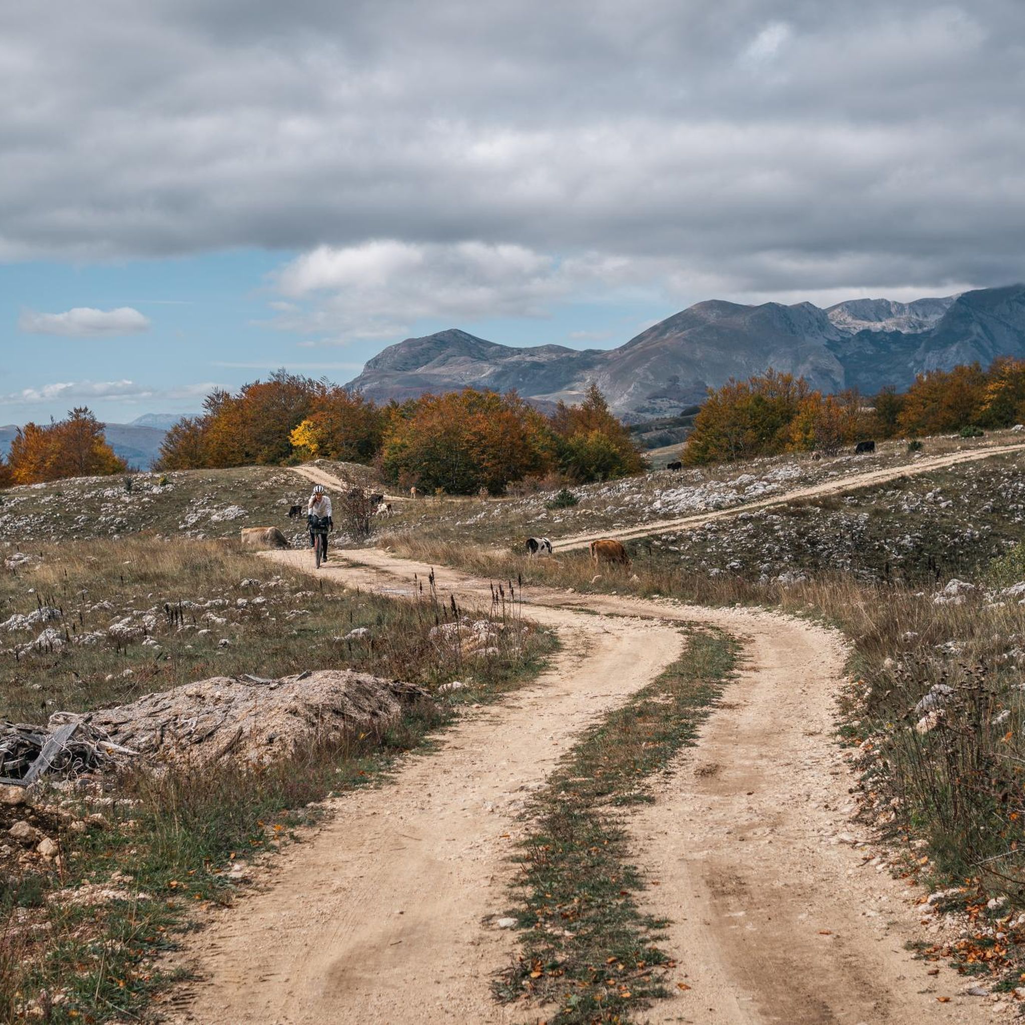
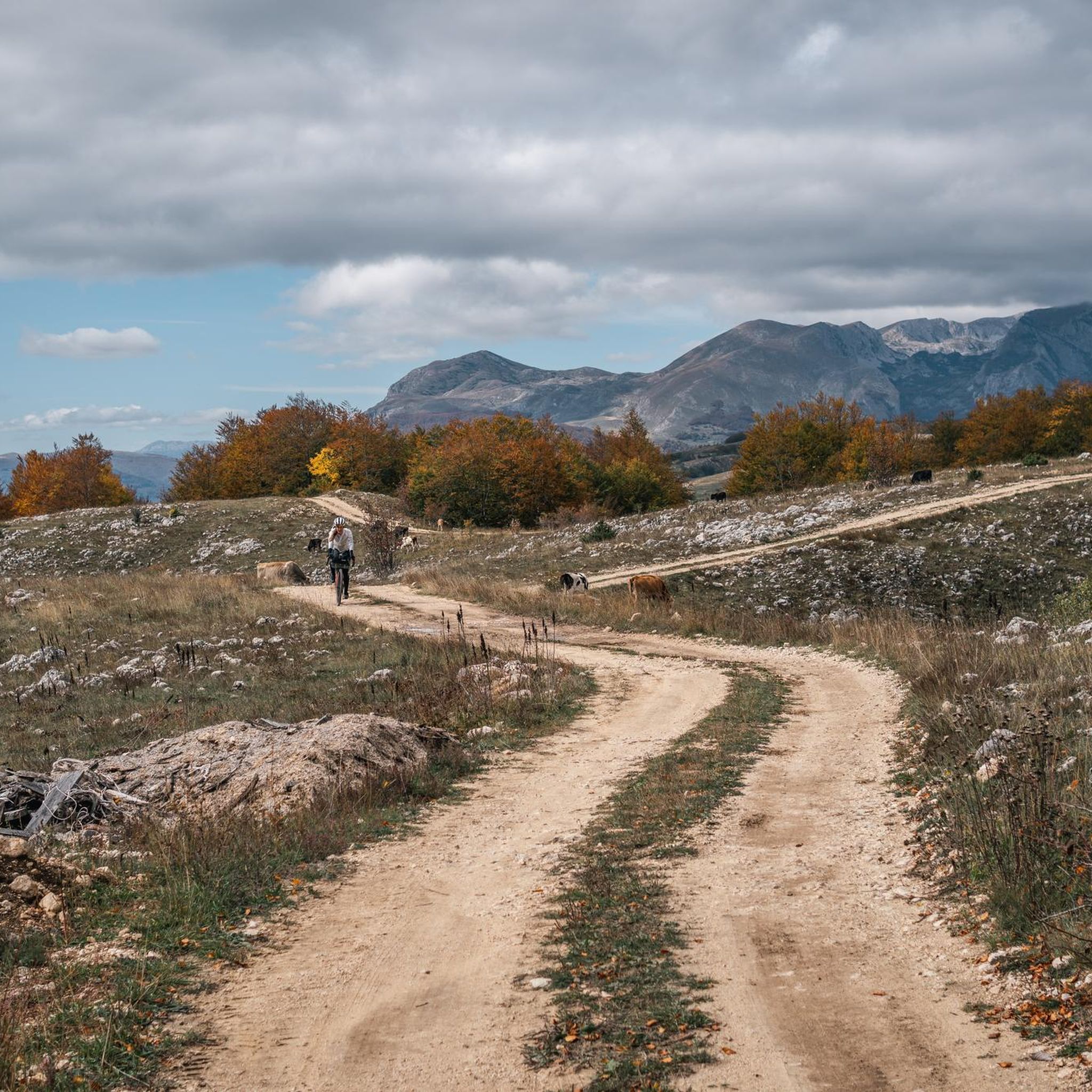
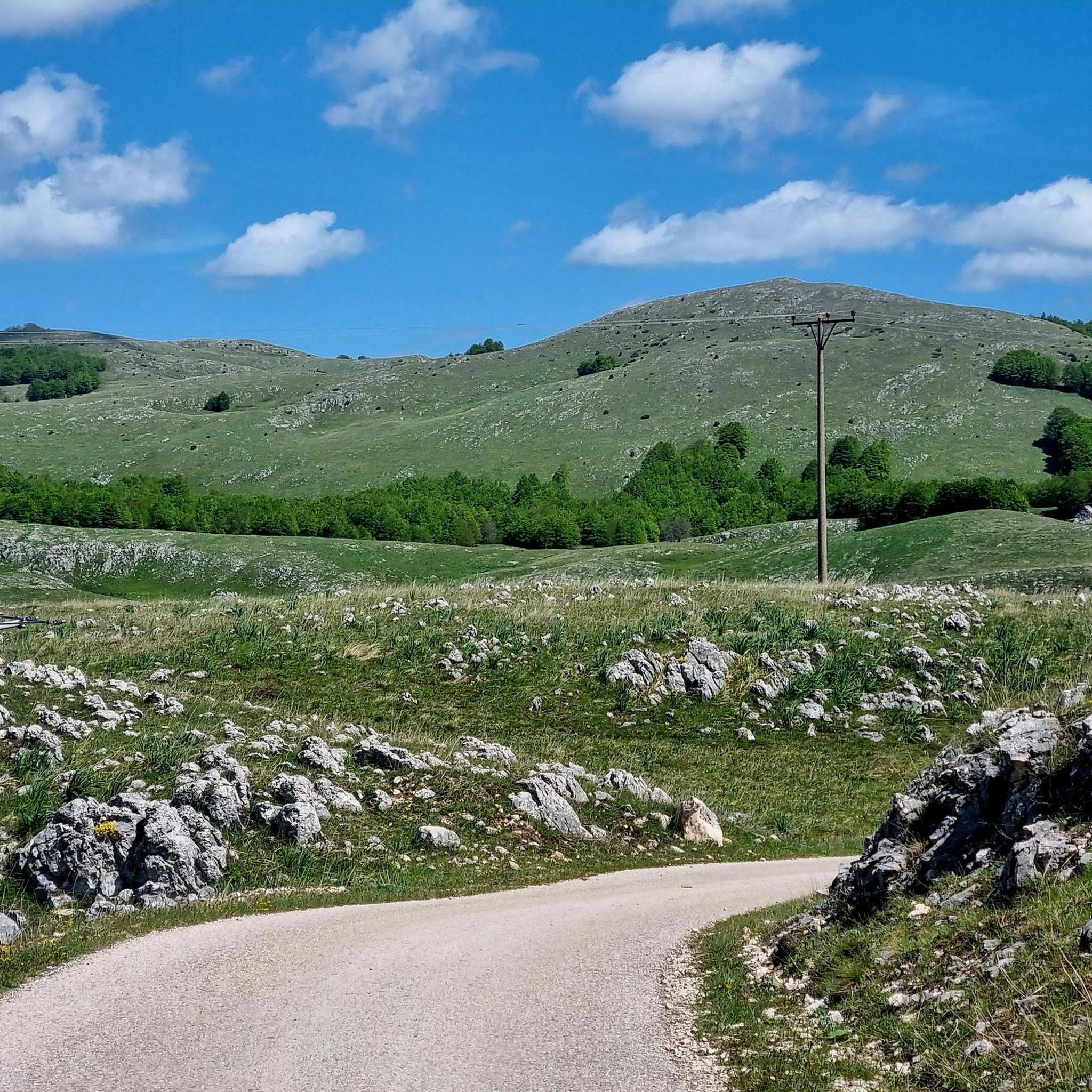

커뮤니티 팁

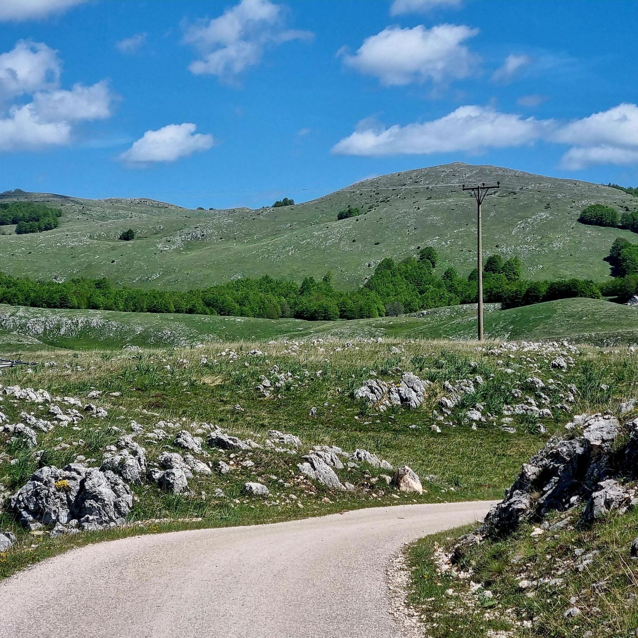
정상에서의 멋진 전망! 하지만 서쪽의 Todorov Do에서 오는 경로는 매우 가파르고 좁은 구간과 가파른 절벽이 있어 확실히 어렵습니다. 일부 구간은 등반 경험이 필요하며, 이 길로 하산하는 것은 불가능해 보입니다. 남쪽의 Dobri Do에서 오는 경로는 오르내림 모두 훨씬 더 나은 선택으로 보입니다. Todorov Do 경로는 보통이 아닌 어려움으로 확실히 평가되어야 합니다.
3
0

The accompanying page in the ARD media library for the television series "Treasures of the World – Heritage of Humanity" states: Rugged peaks marked by glaciers and karst formation, high alpine pastures, and primeval forests characterize a mountain landscape in the far north of the Republic of Montenegro: the Durmitor Massif. Nestled in the mountains are glacial lakes and karst gorges, springs and streams, and rivers roar in wild, inaccessible valleys. The name Durmitor likely originates from the Celtic language and means "Mountains of Many Waters." Interested viewers can access the corresponding film via the following link (duration: 15 minutes / language: German) =>> https://www.ardmediathek.de/video/schaetze-der-welt/nationalpark-durmitor-montenegro-folge-367/3sat/Y3JpZDovL3N3ci5kZS82NjM0ODA4
0
0

Scenic summit above the Medjed ridge — panoramic views across Durmitor. Exposed sections with chains on the way, recommended only in stable, dry weather.
0
0

Breathtaking views and well-maintained and marked trails
0
0
The ridge section north of this is actually forbidden, but since we approached from the north we only saw this sign after completing the ridge.
0
0
We went to the right here (assuming you are walking uphill). However this part of the ridge crossing is quite challenging and it turned out later that this particular part of the ridge is forbidden. The safer option is to go left here, and skip this part of the ridge.
0
0
We just completed this hike in early June. The ascent (via Todorov Do) is very technical and challenging for inexperienced hikers (30/40 degree slope, rocky and unstable terrain, some climbing, etc.). The descent (which is actually the ascent to the summit of the other side, which is another hike - a loop with a lake viewpoint, starting from the Dobri Do parking lot) is much simpler. Note that the end of the hike in the plain to return to the car is not at all signposted, the path is not easily visible, and the GPS track does not always match; you are mostly off-piste.
3
3

From here you can walk in the nature park. The border with Montenegro is not far away. There is a small entrance fee next to Trnovačko jezero. You can find out about prices and rules on the information table here.
3
0
플러그인에서 가장 인기 있는 명소


찾고 계신 것을 찾지 못하셨나요?
플러그인에서 더 많은 산악 하이킹 & 경로를 확인하고 목적지에서 완벽한 경로를 찾아보세요.
