빌롱그 델 몽스 최고의 러닝 경로
4.2
(203)
7,817
달리기 하는 사람
11
러닝
빌롱그 델 몽스에서 하이킹하며 세레 구석 부분까지 살펴볼까요? 빌롱그 델 몽스에 있는 모든 하이킹 및 워킹 경로 컬렉션 중 가장 멋진 하이킹 경로를 엄선하여 소개해드릴게요. 다른 하이커가 공유한 실제 팁과 사진을 살펴보고 후기를 읽으며 마음에 드는 빌롱그 델 몽스 워킹 경로를 찾아보세요.
마지막 업데이트: 10월 24, 2026
4.0
(1)
8
달리기 하는 사람
10.6km
01:16
290m
290m
보통 조깅. 좋은 체력 필요. 대부분 포장된 노면.
5.0
(1)
13
달리기 하는 사람
30.6km
04:31
1,370m
1,370m
어려운 조깅. 우수한 체력 필요. 튼튼한 신발을 신고 미끄러지지 않게 조심해야 하며, 높은 산을 오른 경험이 있어야 함.

7
달리기 하는 사람
7.91km
00:54
170m
160m
보통 조깅. 좋은 체력 필요. 대부분 포장된 노면.
5.0
(2)
6
달리기 하는 사람
8.38km
00:54
140m
140m
보통 조깅. 좋은 체력 필요. 대부분 포장된 노면.
7
달리기 하는 사람
4.65km
00:29
20m
20m
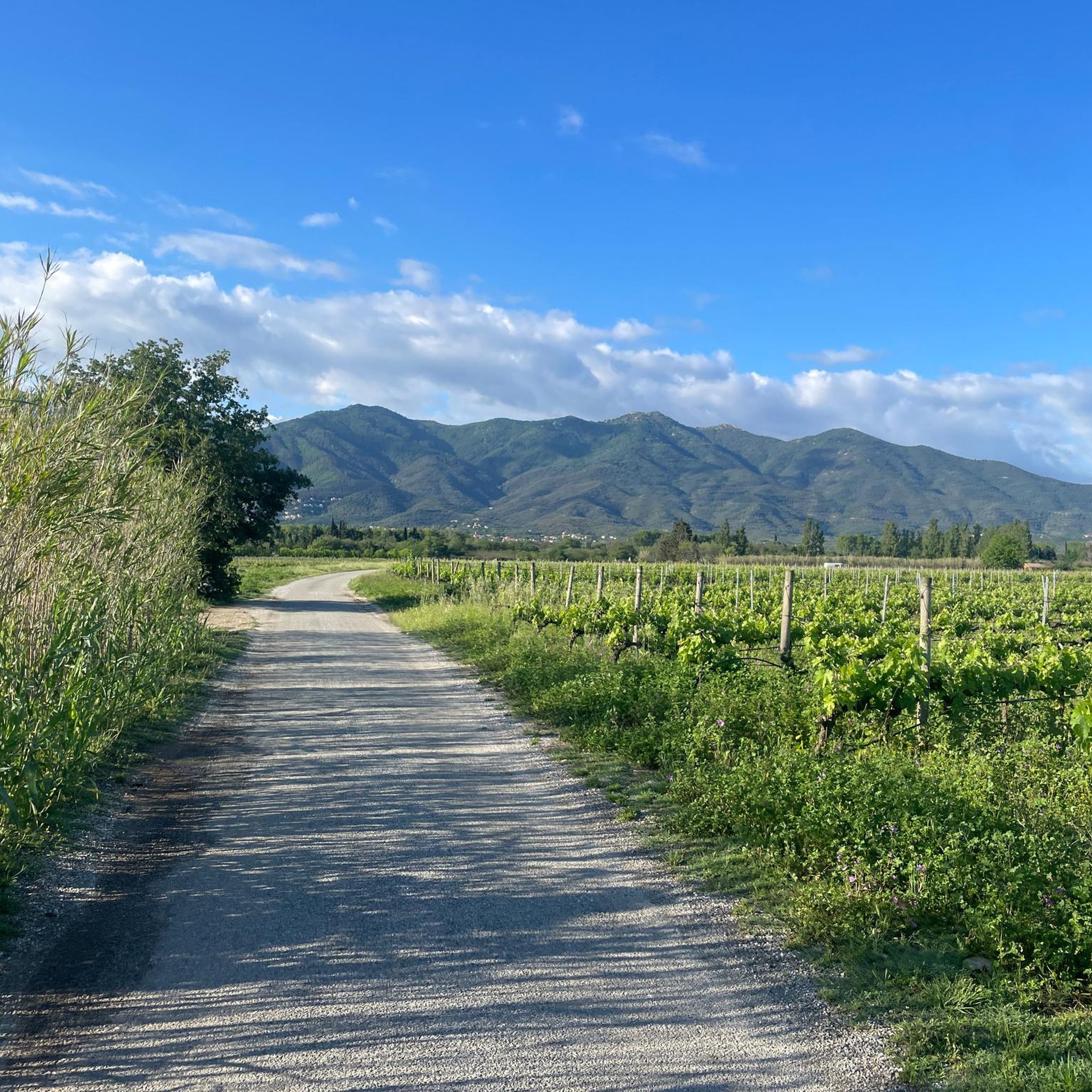
초급용 러닝. 대부분 포장된 노면.
더 다양한 경로와 다른 탐험가들의 추천을 살펴보세요.
이미 komoot 계정이 있나요?
투어 추천은 다른 사람들이 komoot에서 완료한 수천 개의 활동을 바탕으로 구성되어 있습니다.
오늘 무료 계정으로 시작하세요
다음 모험이 기다리고 있어요.

커뮤니티 팁

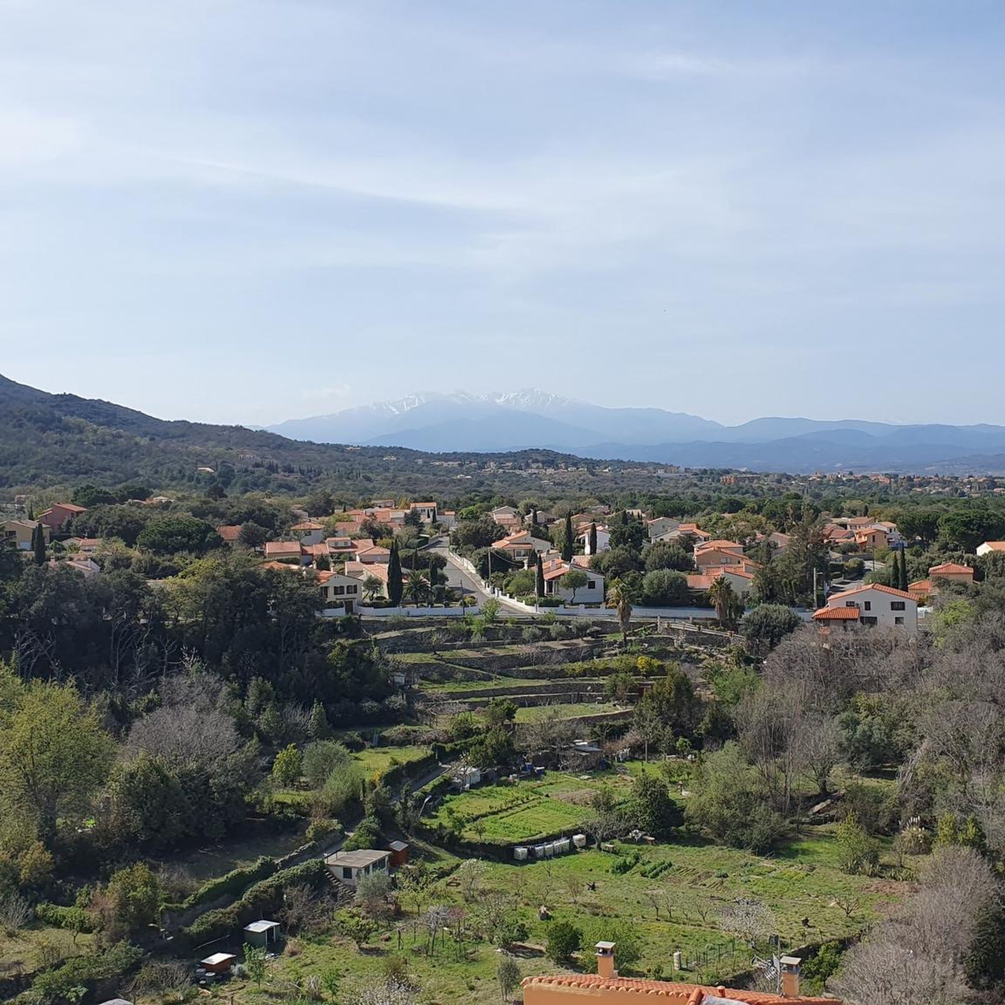
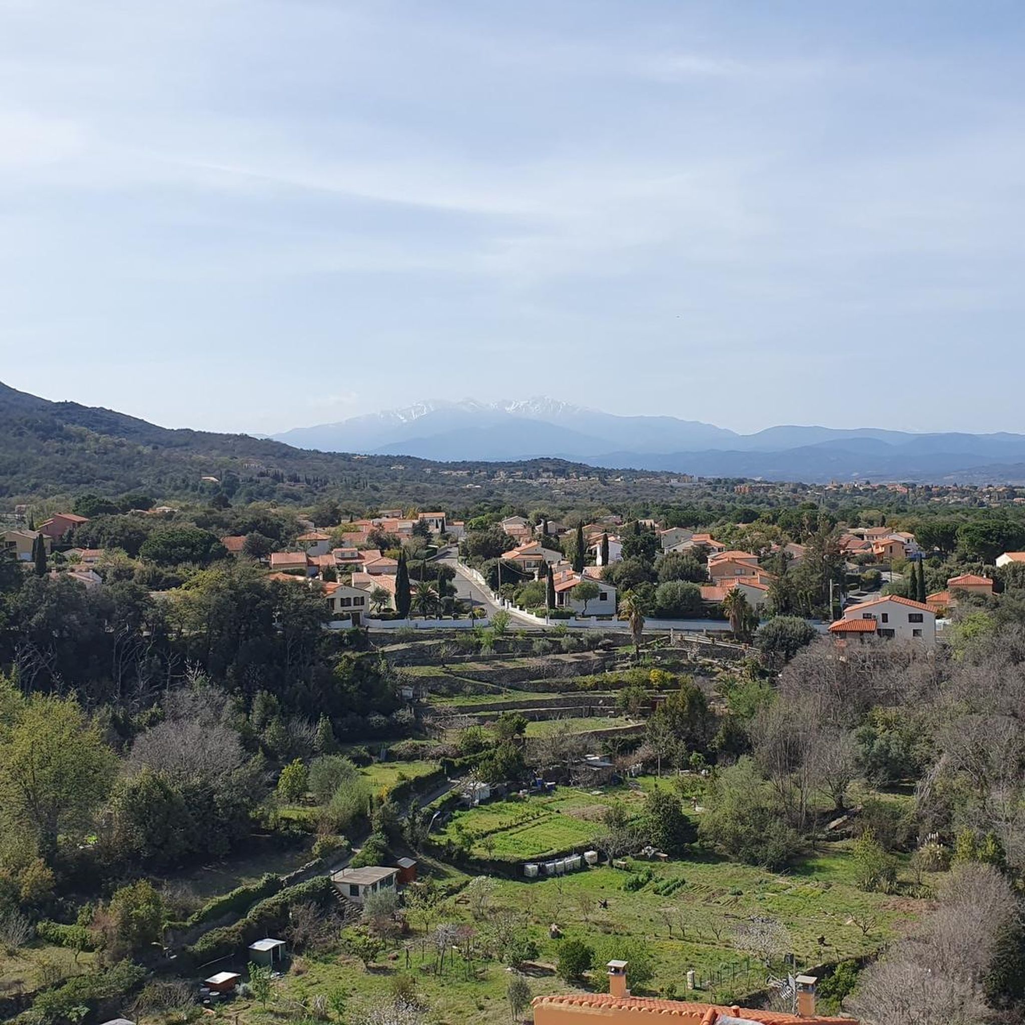
It is located at an altitude of approximately 936 metres in the Albera mountain range in the Pyrénées-Orientales, France. It is accessible by road via a narrow, paved route, which climbs from Le Boulou and Laroque-des-Albères. The road offers panoramic views as it ascends through the forest.
3
0
At the Col de l'Ullat, there is also a refuge that offers basic services for hikers. Surrounded by forests and with panoramic views, it is an ideal place to enjoy nature and explore the region.
3
1
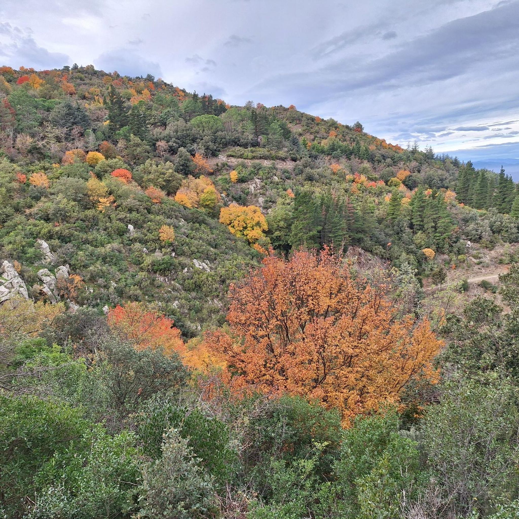
The refuge is surrounded by lush nature, with beech and oak forests, and is an excellent place to observe the local fauna and flora. It is also a strategic point for those who wish to explore the biodiversity and natural heritage of the Albera mountain range.
1
0
The refuge can be reached on foot from various points in the region, and is accessible via several hiking trails that cross the forests and hills of the Albera. It is a starting or resting point for those exploring the Puig Neulós or hiking through the Eastern Pyrenees.
1
0
The shelter offers basic accommodation, with bunk beds and essential services for hikers. It is an ideal place to rest during long hiking routes. It also has a kitchen and a dining room where visitors can prepare their meals.
1
0

ideal for a picnic stop; Shaded by magnificent central pines for various circuits
1
0

Magnificent view ! It’s worth going up there 🤩🤩
6
0

More of a restaurant than a mountain hut. Delicious and plentiful. Small menu. You can eat from 11am. Friendly and uncomplicated, also for mountain bikers.
1
0
빌롱그 델 몽스 주변에서 가장 인기 있는 명소


더 살펴보기
다른 지역의 최고의 러닝 트레일 & 경로를 살펴보세요.
