アイヒスフェルトのおすすめ登山&山歩きルート
4.0
(2)
9
ハイカー
6
ハイキング
テューリンゲンの山々をもっと探索しませんか?このガイドでご紹介するのは、komootがアイヒスフェルトでの登山&山歩きのコレクション全体を評価して選び抜いた、このエリアの人気ルートです。あなたに合ったルートを見つけるには、他のユーザーがアップロードした役立つ情報や写真を閲覧し、クリック操作で簡単に表示できる詳細なデータを参考にしましょう。アイヒスフェルトでの次の冒険にぴったりの登山&山歩きルートが見つかるはずです。
最終更新日: 11月 17, 2026
3.0
(1)
1
ハイカー
中程度の登山ルート. ある程度のフィットネスレベルが必要です。 ほとんどが歩ける道です。足元への注意が必要です。
2
ハイカー
9.60km
02:51
300m
300m
中程度の登山ルート. ある程度のフィットネスレベルが必要です。 歩きやすい道です。

5.0
(1)
3
ハイカー
19.8km
05:58
620m
620m
難しい登山ルート. 標準以上のフィットネスレベルが必要です。 安定して歩行できる技術、丈夫な靴、高標高地での登山経験が必要です。
2
ハイカー
19.4km
05:47
600m
600m
難しい登山ルート. 標準以上のフィットネスレベルが必要です。 歩きやすい道です。
8.34km
02:34
310m
310m
中程度の登山ルート. ある程度のフィットネスレベルが必要です。 歩きやすい道です。
1
ハイカー
19.5km
05:25
350m
350m
難しい登山ルート. 標準以上のフィットネスレベルが必要です。 歩きやすい道です。
おすすめのツアーは他のkomootユーザーが実際に経験した何千ものアクティビティに基づいています。
無料アカウントで今日から始めよう
次の冒険が待っています。
アイヒスフェルト周辺で人気
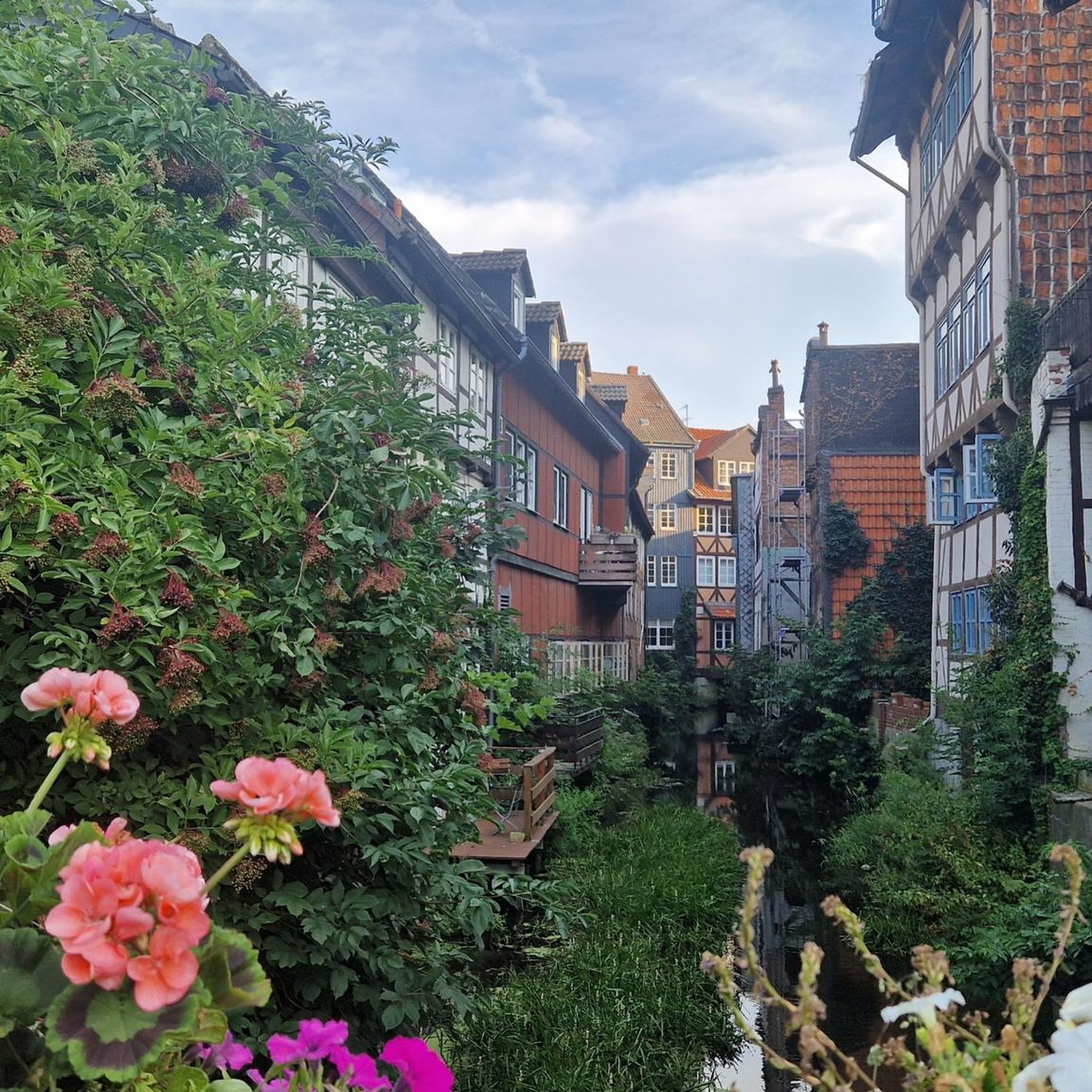
ゾンネンスタインでの登山&山歩き
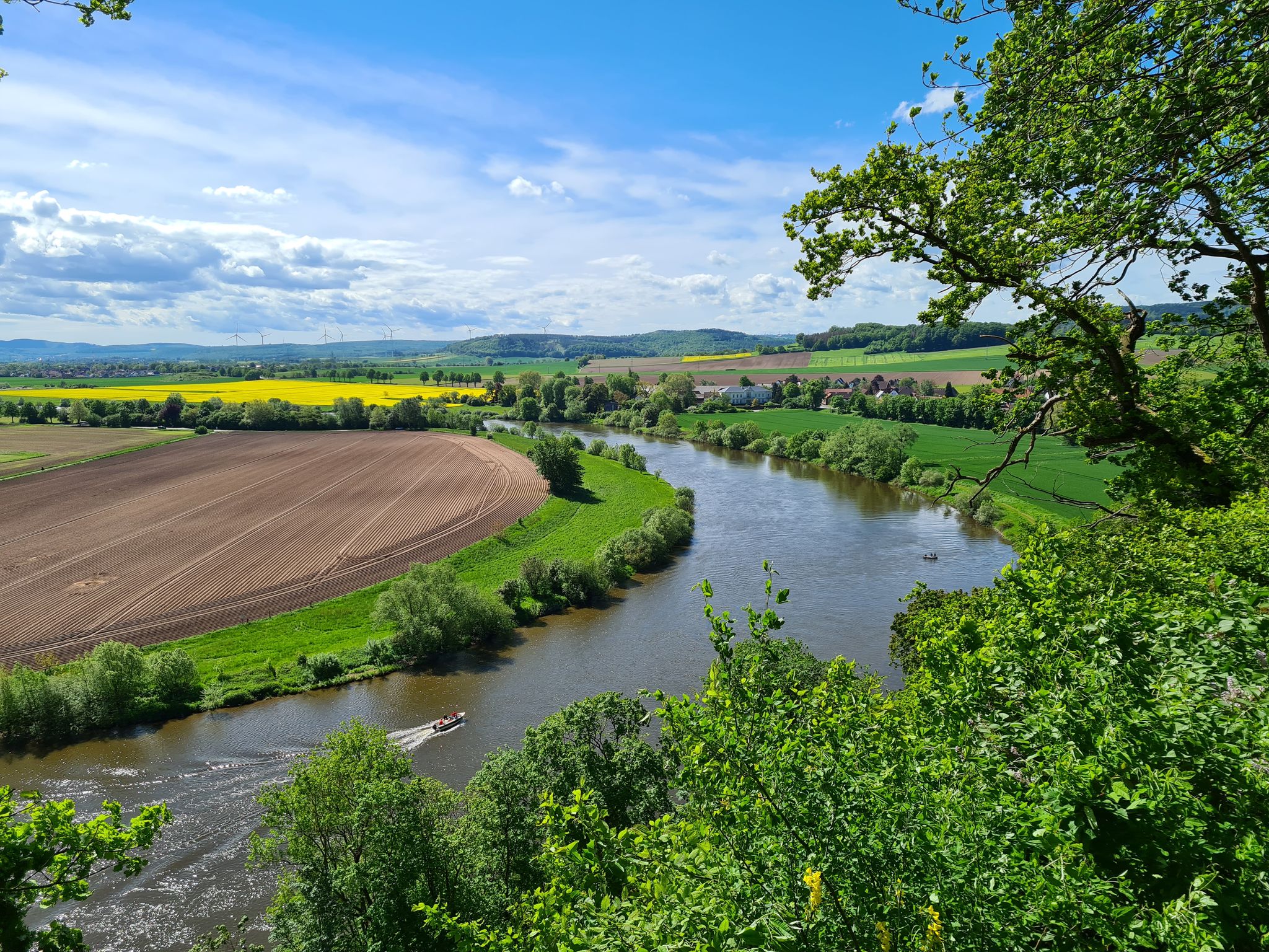
ロクム=フォルケンローダの巡礼路を、寺院から寺院へ

Unstrut自転車道 – アイヒスフェルトの源からザーレまで
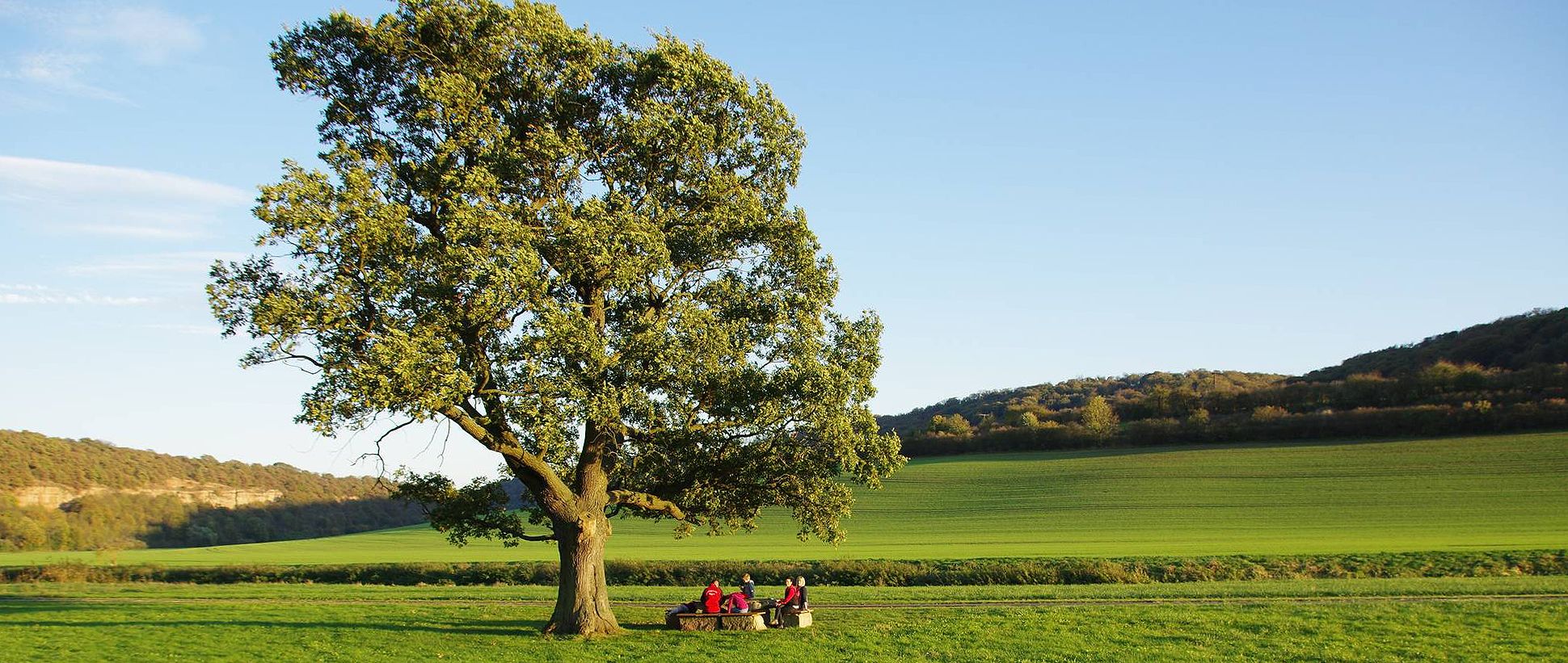
Unstrut cycle path — 4 days through Thuringia and Saxony-Anhalt
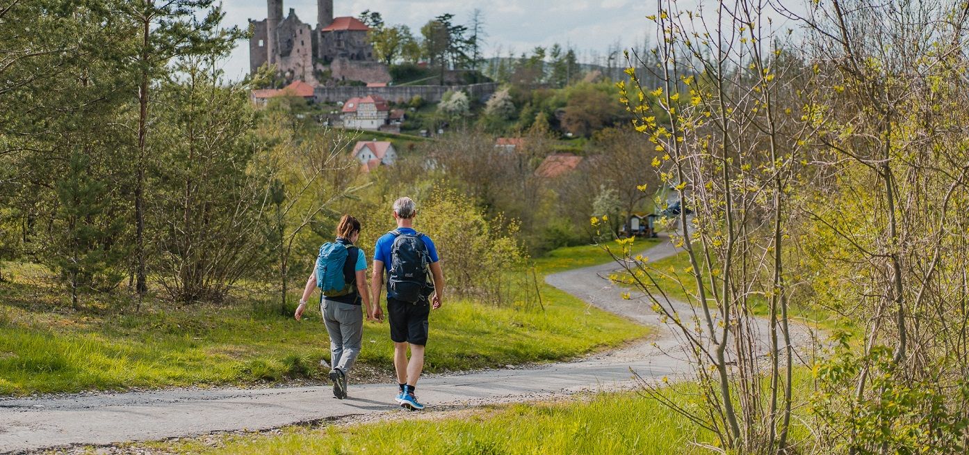
Rich history and magnificent landscapes – TOP hiking trails in Eichsfeld
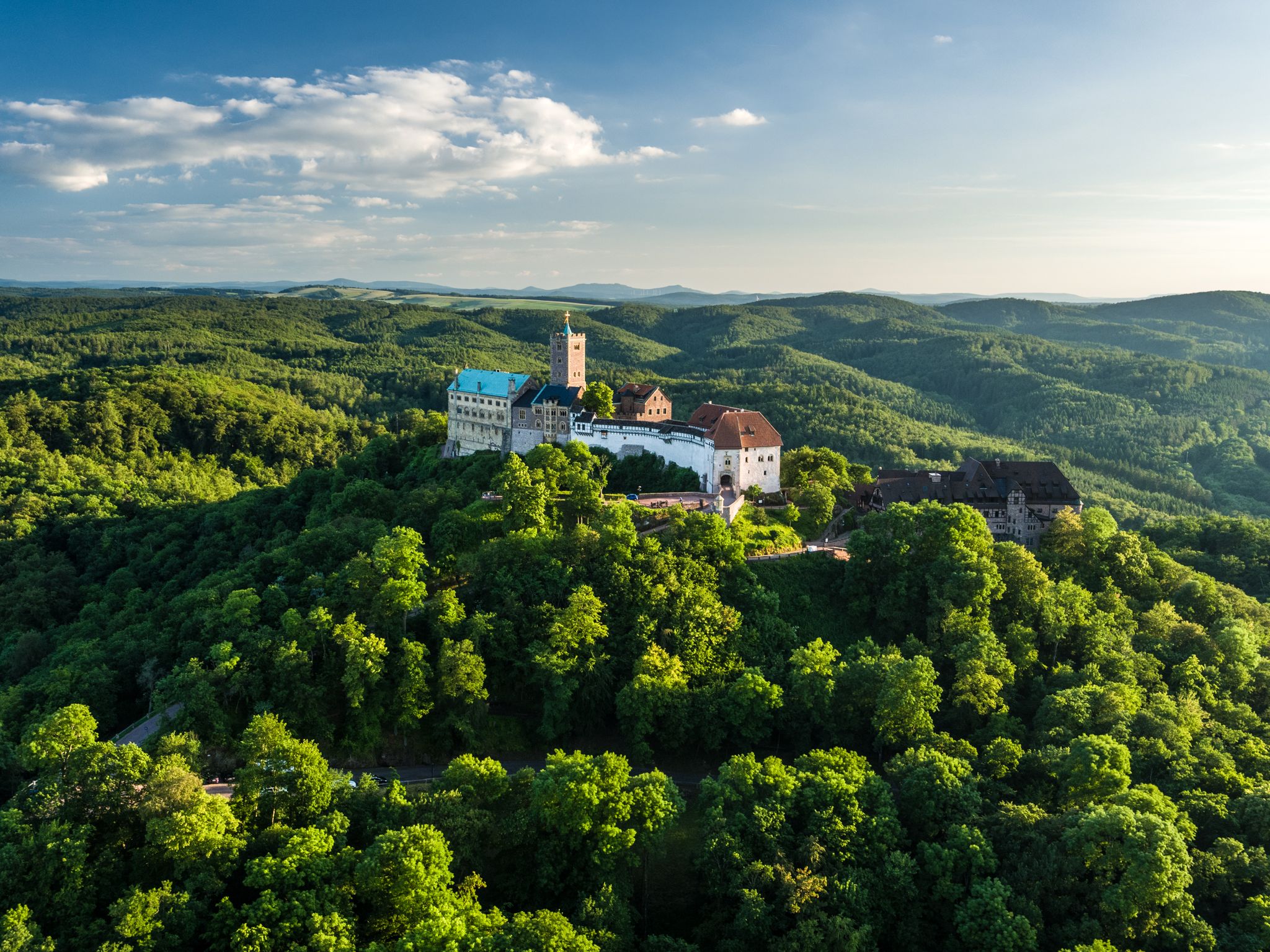
Thuringia CultureRoutes: hiking through history and nature
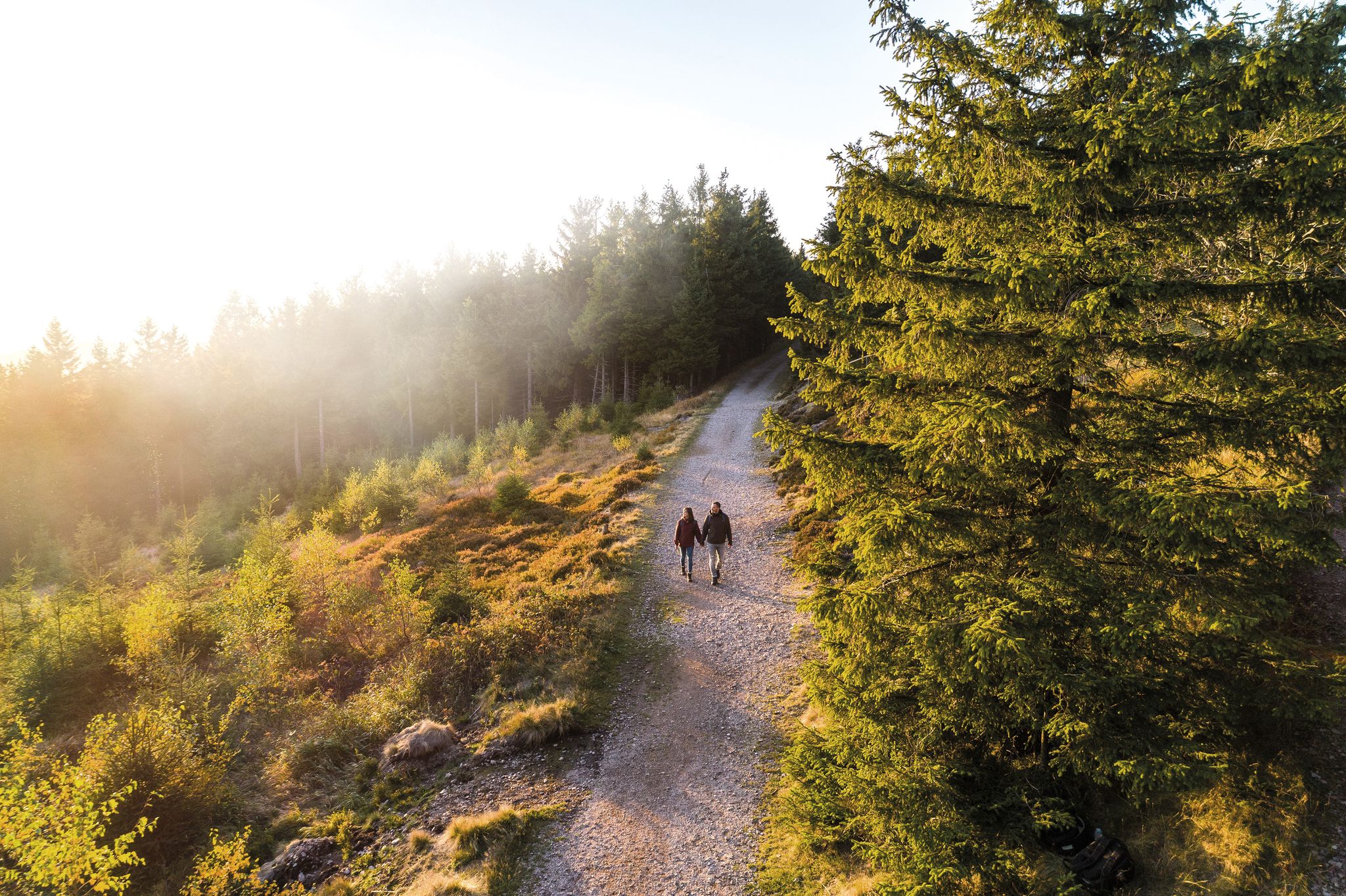
Outdoor time – hikes to help you unwind in Thuringia
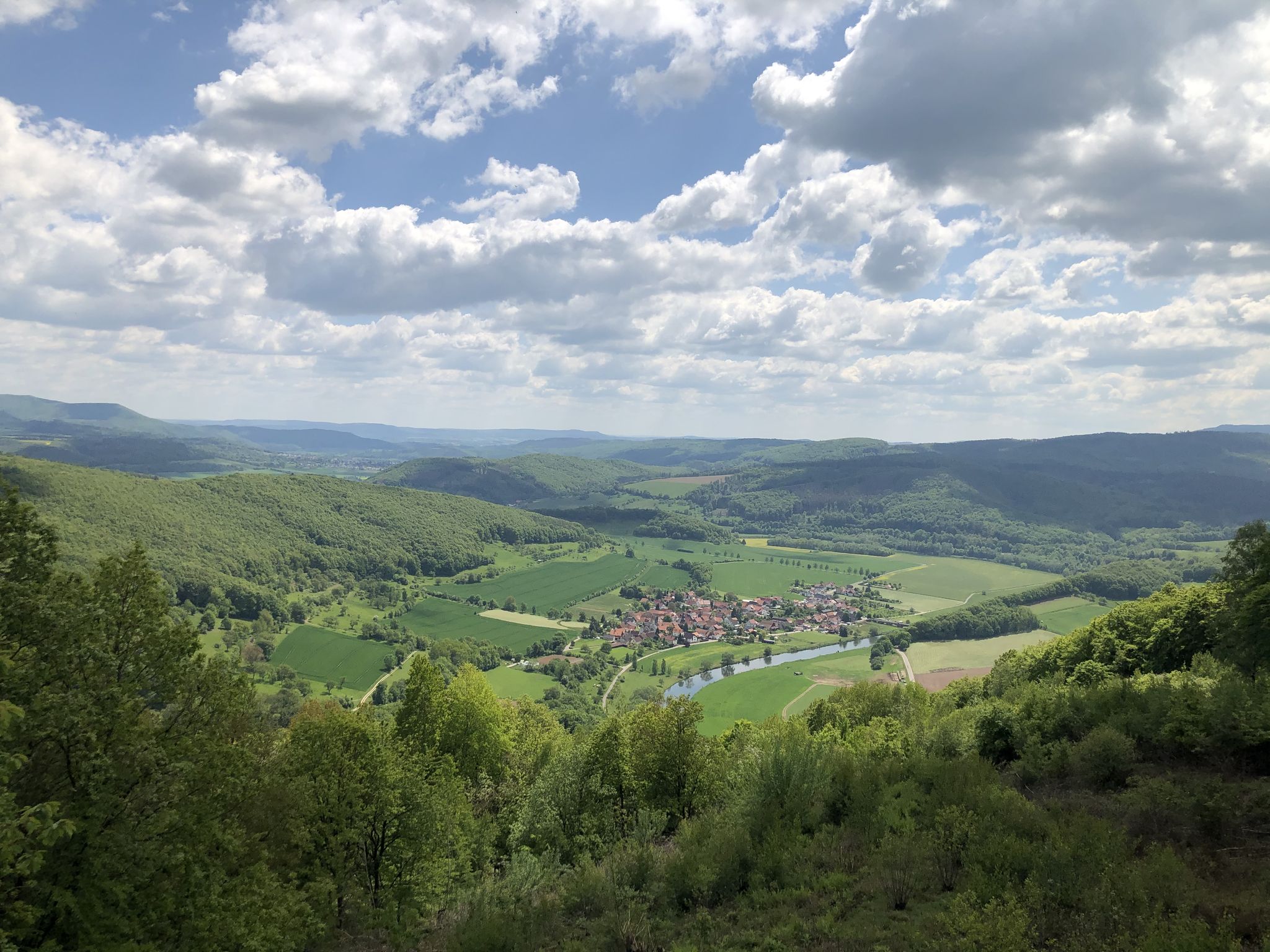
素晴らしい緑の帯
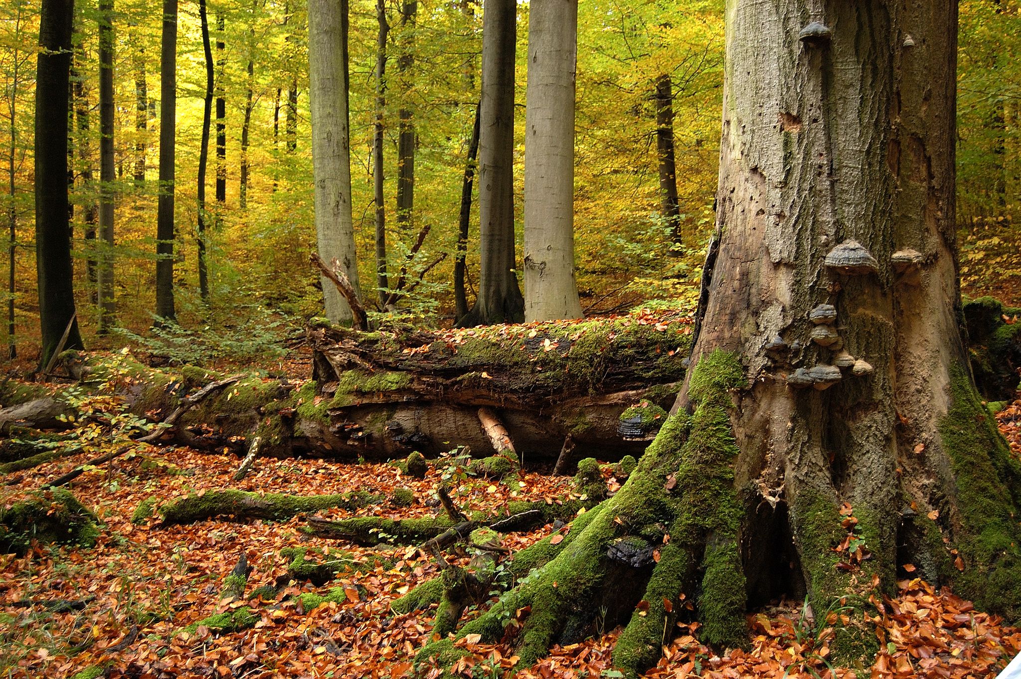
チルーングのウルティの今天が
Ilmtal and Unstrut cycle paths – discover Thuringia in Germany by bike
アイヒスフェルトでのの他の冒険


コミュニティからのヒント

Most of the elevation gain is already behind you if you come from the direction of Lauterberg. There's a short, steep final climb, and then you reach the Knollen.
1
0

In the evening, the view of the sunset is truly amazing.
3
0

Be sure to try the thunderstorm cake!
1
0
A wonderfully old-fashioned chairlift - walking is nicer, but if you like ski nostalgia, this is the place for you.
1
0

The Knollenkreuz (480 m above sea level) is a crossroads between Bad Lauterberg and the Großer Knollen.
6
0


Bell tower in the middle of the forest
0
0

komootモバイルアプリでインスピレーションを得よう


探していたものは見つかりませんでしたか?
アイヒスフェルトの下にある他の登山ハイキング & ルートをチェックして、目的地で完璧なルートを見つけましょう。
さらに探索
他の地域の最高の登山ハイキング & ルートを見てみましょう。
