ナヴァセルのおすすめランニングルート
4.6
(92)
3,340
ランナー
191
ランニング
ナヴァセルでランニングを楽しめば、このエリアをより深く知ることができます。ランニングに適した美しいルートが見つかるように、komootがナヴァセルでのルートのコレクション全体を評価して選び抜いた、人気ランニングトレイルをご紹介します。ルートをクリックして詳細を表示し、他のユーザーがアップロードした役立つ情報や写真を閲覧しましょう。
最終更新日: 10月 11, 2026
30
ランナー
15.0km
01:50
280m
280m
中程度のジョギング. ある程度のフィットネスレベルが必要です。 全般的に舗装された状態です。あらゆるスキルレベルに適しています。
23
ランナー
12.9km
01:22
120m
120m
中程度のジョギング. ある程度のフィットネスレベルが必要です。 全般的に舗装された状態です。あらゆるスキルレベルに適しています。

14
ランナー
7.16km
00:47
40m
40m
中程度のジョギング. ある程度のフィットネスレベルが必要です。 全般的に舗装された状態です。あらゆるスキルレベルに適しています。
12
ランナー
14.5km
01:54
410m
410m
難しいジョギング. 標準以上のフィットネスレベルが必要です。 全般的に舗装された状態です。あらゆるスキルレベルに適しています。
5.0
(3)
11
ランナー
9.54km
01:09
150m
150m
中程度のジョギング. ある程度のフィットネスレベルが必要です。 全般的に舗装された状態です。あらゆるスキルレベルに適しています。
さらに多くのルートや他のユーザーのおすすめ情報を確認できます。
すでにアカウントをお持ちですか?
おすすめのツアーは他のkomootユーザーが実際に経験した何千ものアクティビティに基づいています。
無料アカウントで今日から始めよう
次の冒険が待っています。
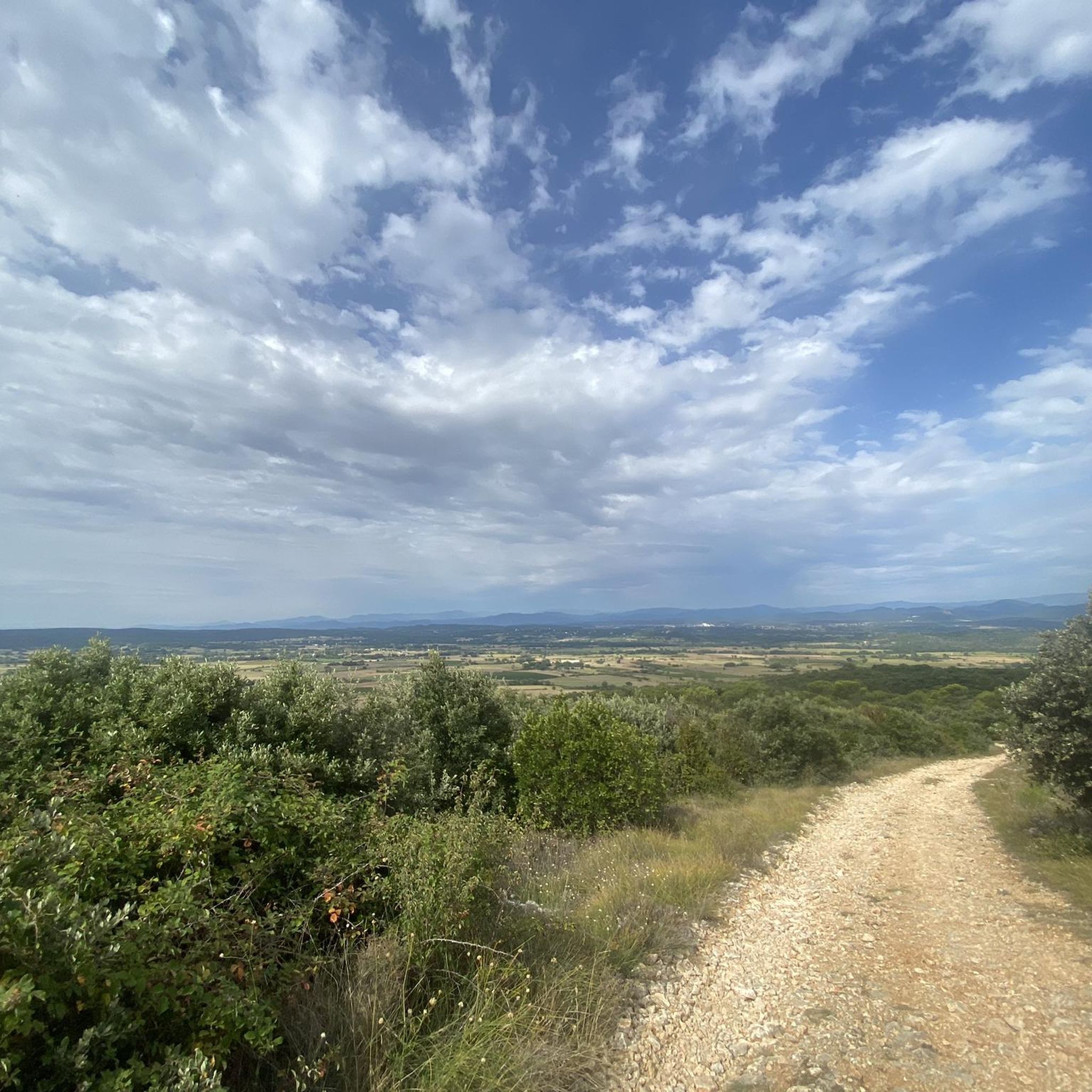
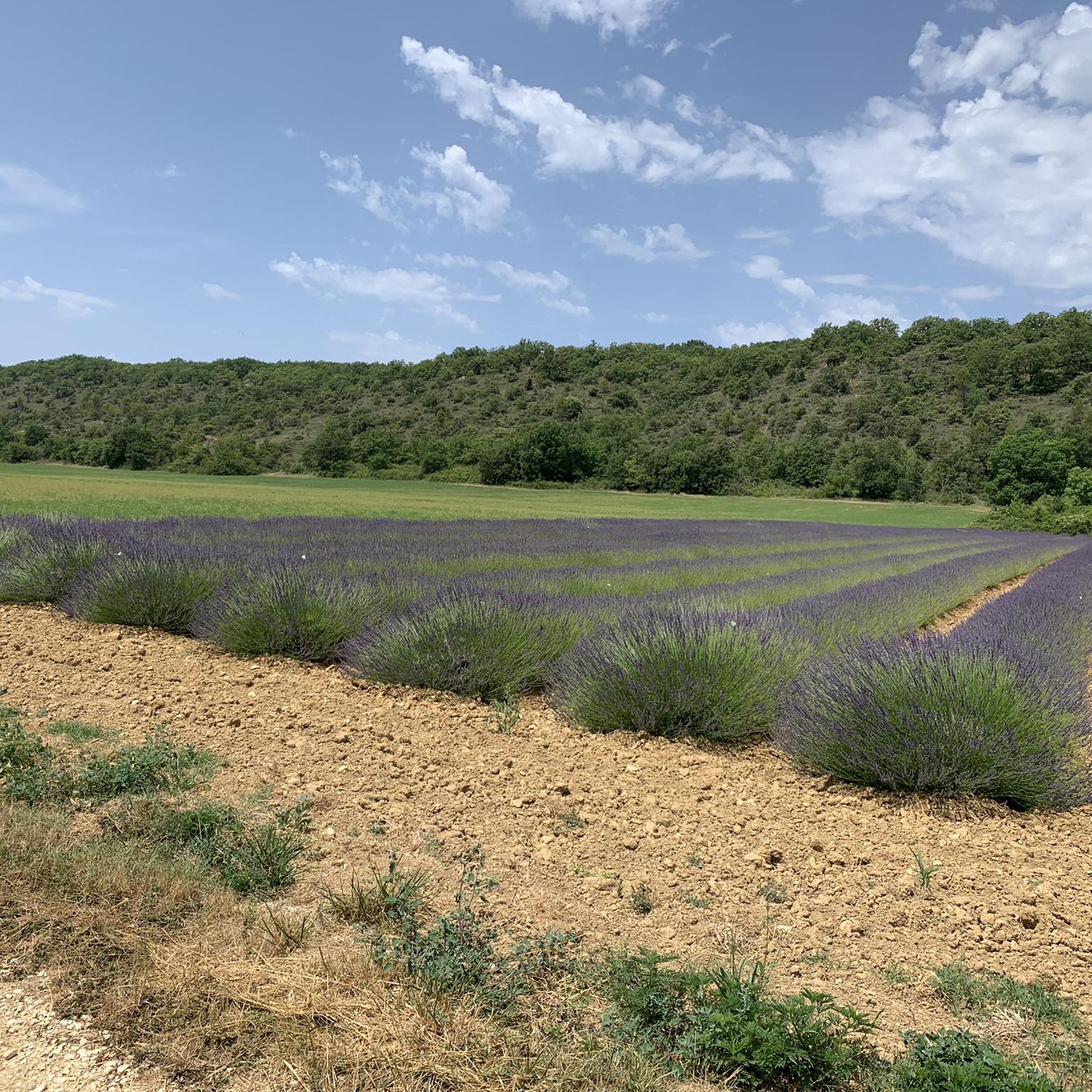
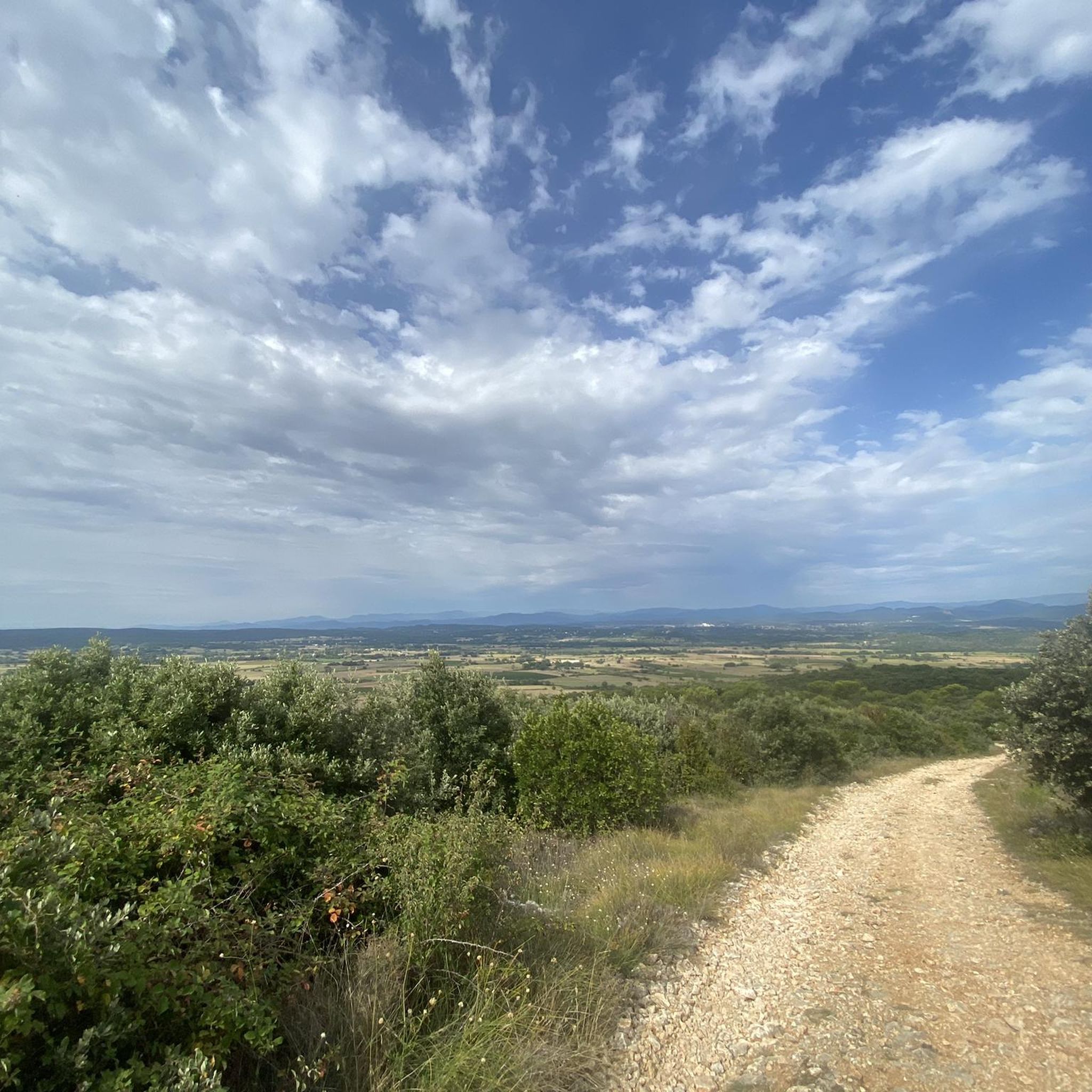
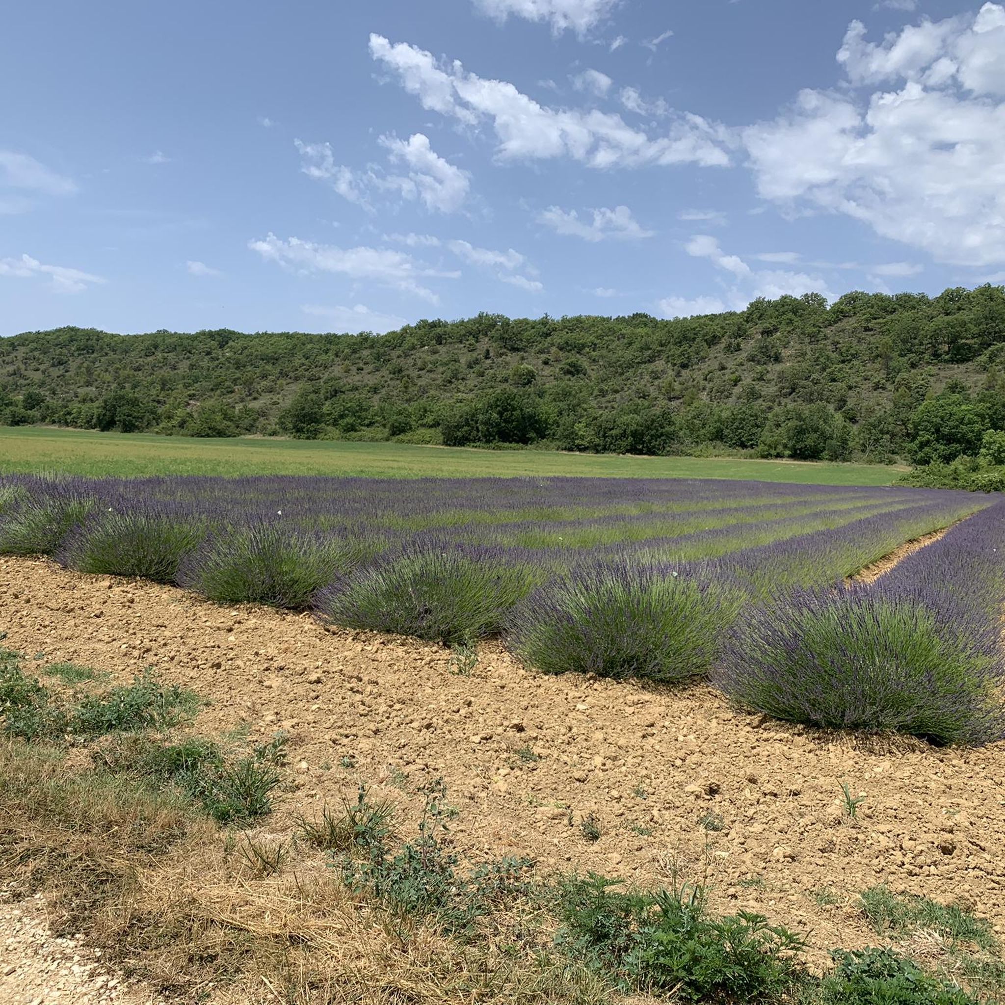
コミュニティからのヒント

Despite its current state, which is essentially in ruins, the castle (or more accurately, Castrum) of Allègre remains impressive and bears witness to nearly 10 centuries of history. It features towers and stately homes, a double rampart, a chapel, and a village. Located at an altitude of 275 meters, overlooking the middle valley of the Cèze, the entire site covers one and a half hectares and offers a sublime panorama of Mont Bouquet and the entire Cévennes (orientation table). Very close to the D37, the tour is best done on foot after leaving your bike in the parking lot.
1
0
Very nice site, accessible by gravel or mountain bike from the Bouquet road and from the Bourricot pass, it is located in a Natura 2000 zone. Presence of several picnic tables with beautiful panoramas in all directions.
0
0

Mont Bouquet offers, at an altitude of 629m, a magnificent view of the plain with the Rhône valley and Ventoux in sight.
0
0
The Castellas de Bouquet is a medieval castle in ruins, perched north of the promontory of Mont Bouquet.
0
0

Great view over the Cevennes and Mont Bouquet
1
0

Perfect spot for distant gazing
1
0
Great view of the ruins of Les Castellas
1
0
ナヴァセルでのの人気観光スポット

komootモバイルアプリでインスピレーションを得よう


さらに探索
他の地域の最高のランニングトレイル & ルートを見てみましょう。
