サンジュリアンドカサーニャスのおすすめランニングルート
4.4
(59)
1,456
ランナー
177
ランニング
ジョギングは、静かなオーゾネ川の谷に位置するこの地域の多様な景観を巡る様々なルートを提供しています。このエリアは、木々の生い茂る小道、広大な田園地帯、地元の町の近くを通るルートが混在しており、ランニングに適した変化に富んだ地形となっています。多くのトレイルは、セヴェンヌ山脈の入り口で見られる起伏のある丘陵地帯の特徴である、緩やかな高低差を取り入れています。景観には、栗や松の木の森、そして低い山々が含まれます。
サン・ジュリアン・ド・カサニャス周辺の最高のジョギングルート
- 最も人気のあるジョギングルートは、シャンボードからのランニングループで、5.5マイル(8.8 km)のトレイルで、所要時間は55分です。このランニングルートは、日当たりの良い場所と日陰の場所が混在しており、一定のペースに適しています。
- 地元ランナーに人気のもう一つのルートは、アレグロ・レ・フマードからのシャトー・デレグループで、適度な5.9マイル(9.5 km)のパスです。このトレイルは、シャトーに向かう景色を眺めながら、変化に富んだ地形を巡ります。
- 地元ランナーに人気のアレスからのボワ・ルドンループは、4.0マイル(6.4 km)のトレイルで、森の中を通り抜け、所要時間は約42分です。
- サン・ジュリアン・ド・カサニャス周辺のジョギングは、木々の生い茂る小道、起伏のある丘、史跡の近くを通るルートが特徴です。このネットワークは、簡単なジョギングルートや長距離ランニングトレイルなど、様々なレベルのランナーに対応するオプションを提供しています。
- サン・ジュリアン・ド・カサニャスのルートは、40件以上のレビューから平均4.5つ星という高評価をkomootコミュニティから受けています。1400人以上のランナーがkomootを利用して、サン・ジュリアン・ド・カサニャスの変化に富んだ地形を探検しました。
最終更新日: 9月 1, 2026
10
ランナー
8.79km
00:55
70m
70m
中程度のジョギング. ある程度のフィットネスレベルが必要です。 全般的に舗装された状態です。あらゆるスキルレベルに適しています。
5.0
(3)
11
ランナー
9.54km
01:09
150m
150m
中程度のジョギング. ある程度のフィットネスレベルが必要です。 全般的に舗装された状態です。あらゆるスキルレベルに適しています。

無料新規登録
4
ランナー
6.41km
00:42
90m
90m
中程度のジョギング. ある程度のフィットネスレベルが必要です。 全般的に舗装された状態です。あらゆるスキルレベルに適しています。
7
ランナー
8.62km
00:56
70m
70m
中程度のジョギング. ある程度のフィットネスレベルが必要です。 全般的に舗装された状態です。あらゆるスキルレベルに適しています。
5.0
(1)
7
ランナー
12.9km
01:32
180m
180m
中程度のジョギング. ある程度のフィットネスレベルが必要です。 全般的に舗装された状態です。あらゆるスキルレベルに適しています。
さらに多くのルートや他のユーザーのおすすめ情報を確認できます。
無料新規登録
すでにアカウントをお持ちですか?
おすすめのツアーは他のkomootユーザーが実際に経験した何千ものアクティビティに基づいています。
無料アカウントで今日から始めよう
次の冒険が待っています。
ログインまたは登録

コミュニティからのヒント

Despite its current state, which is essentially in ruins, the castle (or more accurately, Castrum) of Allègre remains impressive and bears witness to nearly 10 centuries of history. It features towers and stately homes, a double rampart, a chapel, and a village. Located at an altitude of 275 meters, overlooking the middle valley of the Cèze, the entire site covers one and a half hectares and offers a sublime panorama of Mont Bouquet and the entire Cévennes (orientation table). Very close to the D37, the tour is best done on foot after leaving your bike in the parking lot.
1
0

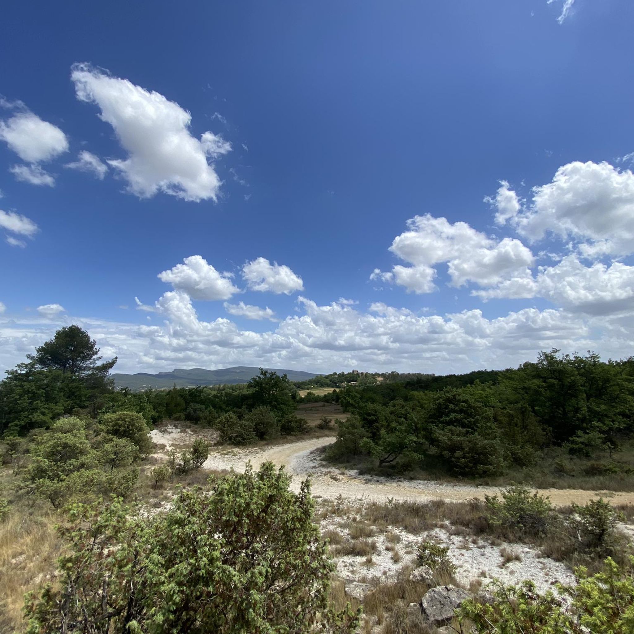
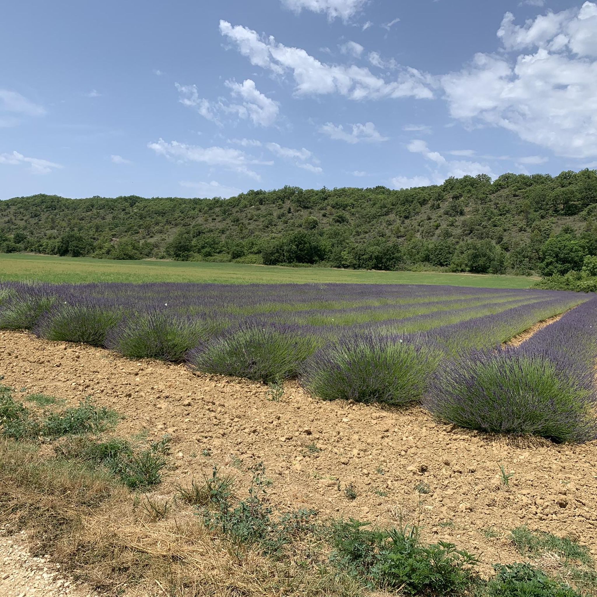
Nature there is increasingly reclaiming itself. 🌳🌸🌺🪻🪷🦅
1
0


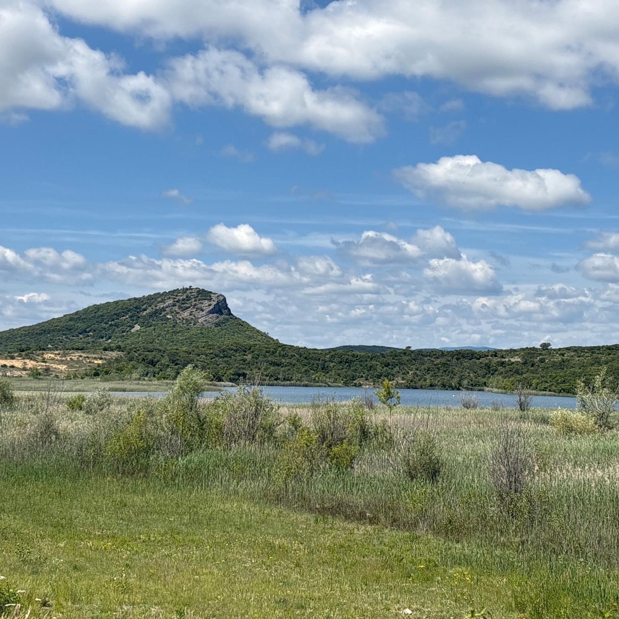
Great view over the Cevennes and Mont Bouquet
1
0
Perfect spot for distant gazing
1
0
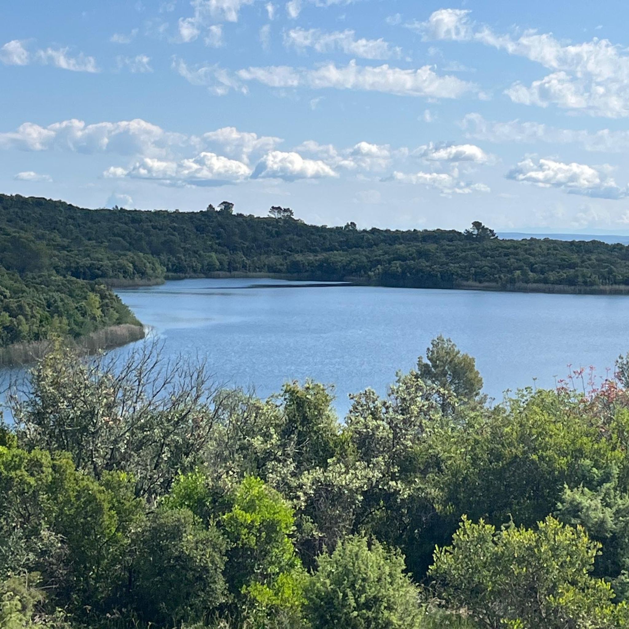
The lake used to be a storage basin for bauxite residues from Salindres' alumina production. Today, much is being done to restore the ecosystem. However, swimming and fishing are still prohibited.
2
1
Simply follow the circular path around the lake
1
0
サンジュリアンドカサーニャスでのの人気観光スポット

komootモバイルアプリでインスピレーションを得よう


さらに探索
他の地域の最高のランニングトレイル & ルートを見てみましょう。
