ナヴァセルのおすすめウォーキング&ハイキングルート
4.3
(835)
3,956
ハイカー
15
ハイキング
ナヴァセル周辺でのハイキングは、景色を満喫するのに最適な手段のひとつですが、適切なハイキングルートを見つけることは簡単ではありません。 ナヴァセル周辺の人気ハイキング&ウォーキングコースを参考にすれば、行きたいルートをすぐに見つけられます。
最終更新日: 9月 1, 2026
3.8
(35)
105
ハイカー
7.22km
02:14
220m
220m
中程度のハイキング. ある程度のフィットネスレベルが必要です。 全般的に進みやすいルートです。安定して歩行できる技術が必要です。
4.1
(22)
73
ハイカー
9.88km
03:00
290m
290m
中程度のハイキング. ある程度のフィットネスレベルが必要です。 全般的に進みやすいルートです。安定して歩行できる技術が必要です。

無料新規登録
4.6
(10)
60
ハイカー
18.2km
05:20
480m
480m
難しいハイキング. 標準以上のフィットネスレベルが必要です。 全般的に進みやすいルートです。安定して歩行できる技術が必要です。
4.3
(10)
51
ハイカー
8.03km
02:26
230m
230m
中程度のハイキング. ある程度のフィットネスレベルが必要です。 全般的に進みやすいルートです。安定して歩行できる技術が必要です。
4.0
(7)
69
ハイカー
5.26km
01:41
170m
170m
中程度のハイキング. あらゆるフィットネスレベルに適しています。 全般的に進みやすいルートです。安定して歩行できる技術が必要です。
さらに多くのルートや他のユーザーのおすすめ情報を確認できます。
無料新規登録
すでにアカウントをお持ちですか?
おすすめのツアーは他のkomootユーザーが実際に経験した何千ものアクティビティに基づいています。
無料アカウントで今日から始めよう
次の冒険が待っています。
ログインまたは登録
コミュニティからのヒント

7月に来ました。まだ水はありましたが、泳ぐことは考えられませんでした。滝はただの細流でした。しかし、犬や子供たちには探検するのに十分なものがあり、美しい景色もありました。そのため、7月でもおすすめできます。
0
0


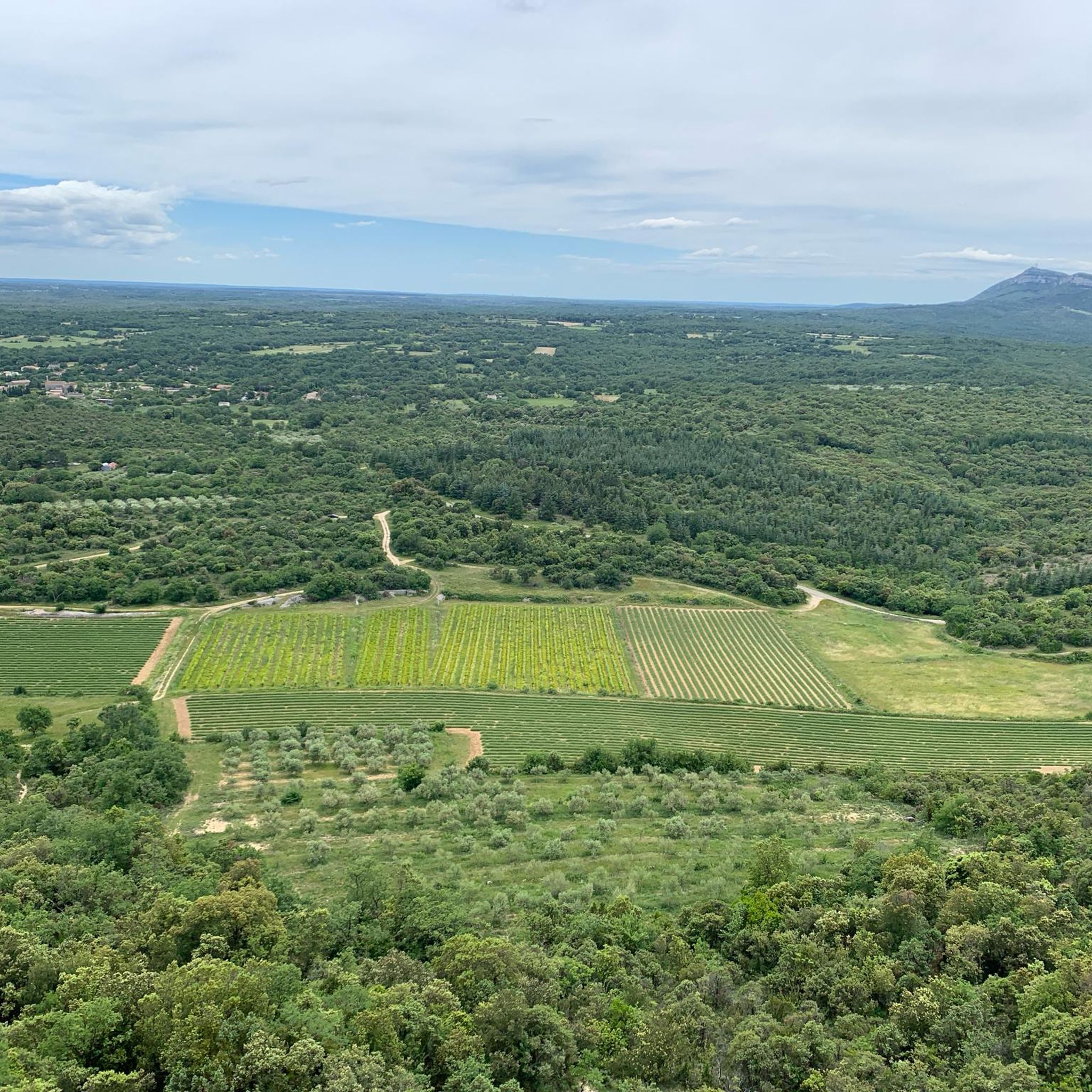
Despite its current state, which is essentially in ruins, the castle (or more accurately, Castrum) of Allègre remains impressive and bears witness to nearly 10 centuries of history. It features towers and stately homes, a double rampart, a chapel, and a village. Located at an altitude of 275 meters, overlooking the middle valley of the Cèze, the entire site covers one and a half hectares and offers a sublime panorama of Mont Bouquet and the entire Cévennes (orientation table). Very close to the D37, the tour is best done on foot after leaving your bike in the parking lot.
1
0

Part of the Cévennes hiking network, Cal is also a pretty little village
0
0

ナヴァセルでのの人気観光スポット

komootモバイルアプリでインスピレーションを得よう


さらに探索
他の地域の最高のハイキングを見てみましょう。
