ハーブイーのおすすめライド
4.4
(38)
883
ライダー
108
ライド
ハーブイー周辺のロードバイクルートをお探しですか?ここでは、komootが提供するハーブイーでのロードバイクライドのコレクション全体を評価して選び抜いた人気ルートをご紹介します。各ライドの詳細をぜひご覧ください。
最終更新日: 8月 29, 2026
4.7
(3)
126
ライダー
65.8km
03:10
920m
920m
難しいロードライド. 標準以上のフィットネスレベルが必要です。 全般的に舗装状態が良好で走行しやすい道です。
3.5
(2)
21
ライダー
51.2km
02:18
540m
540m
中程度のロードライド. ある程度のフィットネスレベルが必要です。 全般的に舗装状態が良好で走行しやすい道です。

無料新規登録
15
ライダー
25.2km
01:06
200m
200m
初級者向けロードバイクライド. あらゆるフィットネスレベルに適しています。 全般的に舗装状態が良好で走行しやすい道です。
14
ライダー
84.3km
03:52
860m
860m
中程度のロードライド. ある程度のフィットネスレベルが必要です。 全般的に舗装状態が良好で走行しやすい道です。
7
ライダー
47.9km
02:17
610m
610m
中程度のロードライド. ある程度のフィットネスレベルが必要です。 全般的に舗装状態が良好で走行しやすい道です。
さらに多くのルートや他のユーザーのおすすめ情報を確認できます。
無料新規登録
すでにアカウントをお持ちですか?
おすすめのツアーは他のkomootユーザーが実際に経験した何千ものアクティビティに基づいています。
無料アカウントで今日から始めよう
次の冒険が待っています。
ログインまたは登録


コミュニティからのヒント

Beautiful hiking destination, there is also a cycling route
0
0

Beautiful climb and lovely view at the pass - Altitude 728m Restaurants (inns) at the pass
0
0

"The giant Monument aux Morts de Badonviller, located next to the Église Saint-Martin, is an impressive memorial commemorating the village's inhabitants who died or went missing during the Great War (1914–1918), the Second World War, and the conflicts in Indochina (1946–1954) and Algeria (1954–1962).
6
0
The imposing neoclassical-style town hall was built to the plans of the architect Antoine-Alexandre Jandel at the end of the Restoration (1830).
8
0
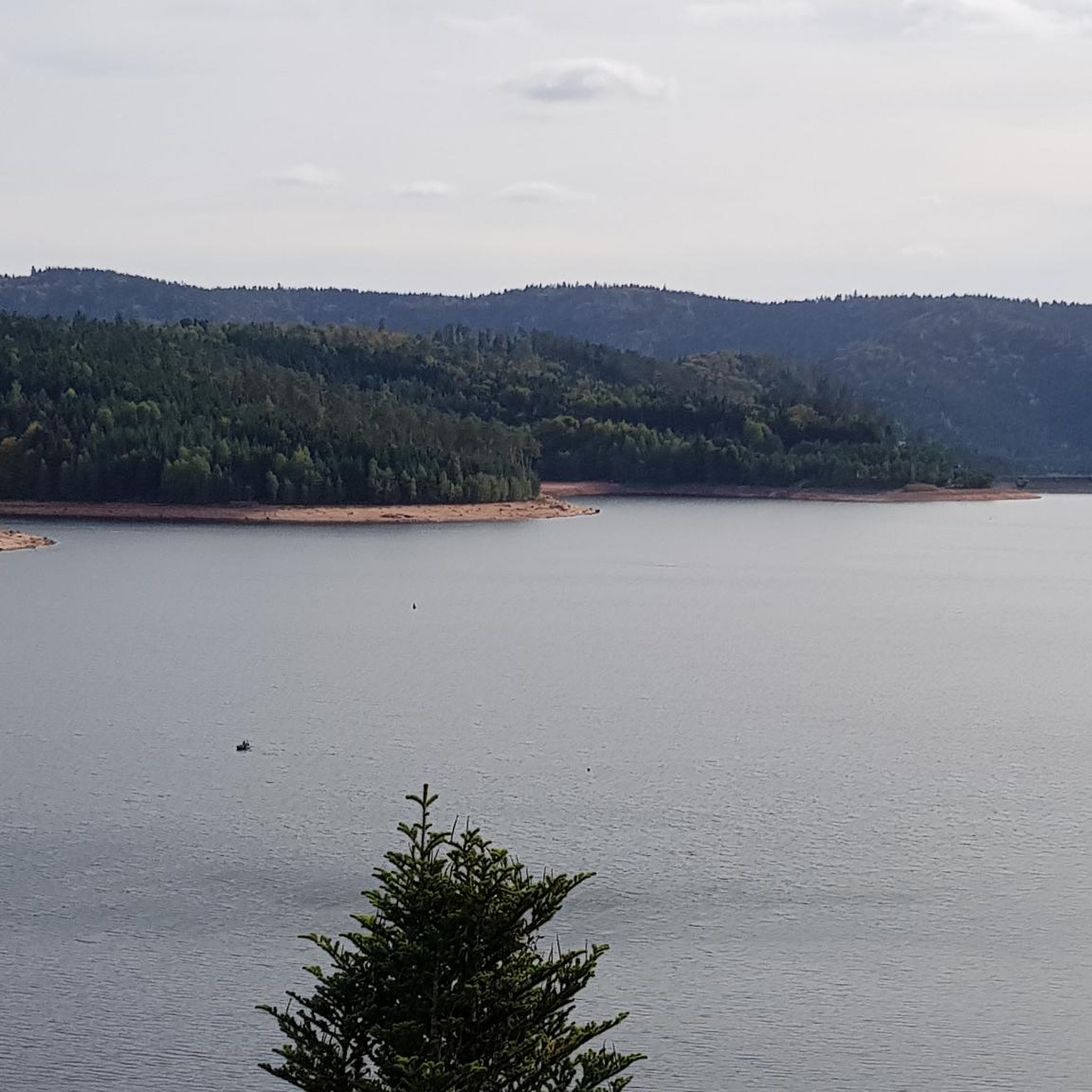
This impressive dam, located in the Vosges, forms an artificial water reservoir together with the Lac de Pierre-Percée. The dam is 69 metres high and 330 metres long, built with a clay core and lined with volcanic rock. It plays an important role in water management and energy production via an underground water connection with the Lac de la Plaine. The surrounding area offers beautiful views and is ideal for hiking along rocky paths, forests and viewpoints over the lake.
7
0
Pierre-Percée is a small mountain village in the east of the Meurthe-et-Moselle department, on the edge of the Vosges Mountains. With fewer than 100 inhabitants, it is one of the smallest communes in the region. Situated on the edge of the Plaine Valley, the village is built at the foot of the ruins of the medieval Château de Pierre-Percée, which once belonged to the Counts of Salm. The village's name refers to a 33-meter-deep well carved into the rock beneath the castle. During the Thirty Years' War, the village, like the castle, was largely destroyed. In the 20th century, Pierre-Percée regained significance with the construction of the EDF reservoir and the creation of a recreation area, which today attracts tourists for hiking, water sports, and nature experiences.
9
0


This memorial commemorates the dead of the First World War as well as the citizens of Pierre-Percée who died in other wars.
1
0
ハーブイーでのの人気観光スポット

komootモバイルアプリでインスピレーションを得よう


さらに探索
他の地域の最高のロードサイクリングルートを見てみましょう。
