グレートイーストのおすすめライド
4.4
(8669)
212,920
ライダー
22,409
ライド
このガイドでご紹介するのは、komootがグレートイーストでのロードバイクルートのコレクション全体を評価して選び抜いた、このエリアの人気バイクライドです。あなたに合ったものを見つけるには、以下のルートをクリックして標高データや舗装状態の分析などの細かな情報を把握し、さらにkomootコミュニティのメンバーが投稿した役立つ情報や写真も閲覧しましょう。
最終更新日: 10月 10, 2026
4.7
(60)
1,642
ライダー
74.8km
04:20
1,550m
1,550m
難しいロードライド. 標準以上のフィットネスレベルが必要です。 全般的に舗装状態が良好で走行しやすい道です。
4.8
(38)
1,173
ライダー
79.0km
04:27
1,690m
1,690m
This difficult 49.1-mile (79.0 km) road cycling loop from Thann Saint-Jacques climbs 5547 feet (1691 metres) to Le Ballon d'Alsace.

4.5
(42)
1,013
ライダー
52.1km
02:56
1,120m
1,110m
難しいロードライド. 標準以上のフィットネスレベルが必要です。 全般的に舗装状態が良好で走行しやすい道です。
4.7
(28)
847
ライダー
76.5km
04:24
1,720m
1,720m
難しいロードライド. 標準以上のフィットネスレベルが必要です。 全般的に舗装状態が良好で走行しやすい道です。
4.3
(52)
808
ライダー
47.0km
02:22
770m
770m
The Les Arentès Loop is a moderate 29.2-mile (47.0 km) road cycling route in the Vosges, featuring 2522 feet (769 metres) of climbing.
4.6
(53)
561
ライダー
51.5km
02:16
110m
110m
Cycle 32.0 miles (51.5 km) on the moderate BL275 - Canals and Forest Estates Trail through forests and along canals in Alsace.
4.8
(29)
535
ライダー
55.9km
03:04
1,180m
1,180m
難しいロードライド. 標準以上のフィットネスレベルが必要です。 全般的に舗装状態が良好で走行しやすい道です。
4.8
(28)
440
ライダー
95.9km
04:33
980m
980m
This difficult 59.6-mile road cycling loop from Strasbourg features the Col des Pandours and 3217 feet of elevation gain.
4.8
(46)
4,258
ライダー
82.8km
04:49
2,000m
2,000m
難しいロードライド. 標準以上のフィットネスレベルが必要です。 全般的に舗装状態が良好で走行しやすい道です。
4.1
(35)
229
ライダー
68.8km
02:47
160m
160m
中程度のロードライド. ある程度のフィットネスレベルが必要です。 全般的に舗装状態が良好で走行しやすい道です。
さらに多くのルートや他のユーザーのおすすめ情報を確認できます。
すでにアカウントをお持ちですか?
おすすめのツアーは他のkomootユーザーが実際に経験した何千ものアクティビティに基づいています。
グレートイーストでのの他の冒険


コミュニティからのヒント

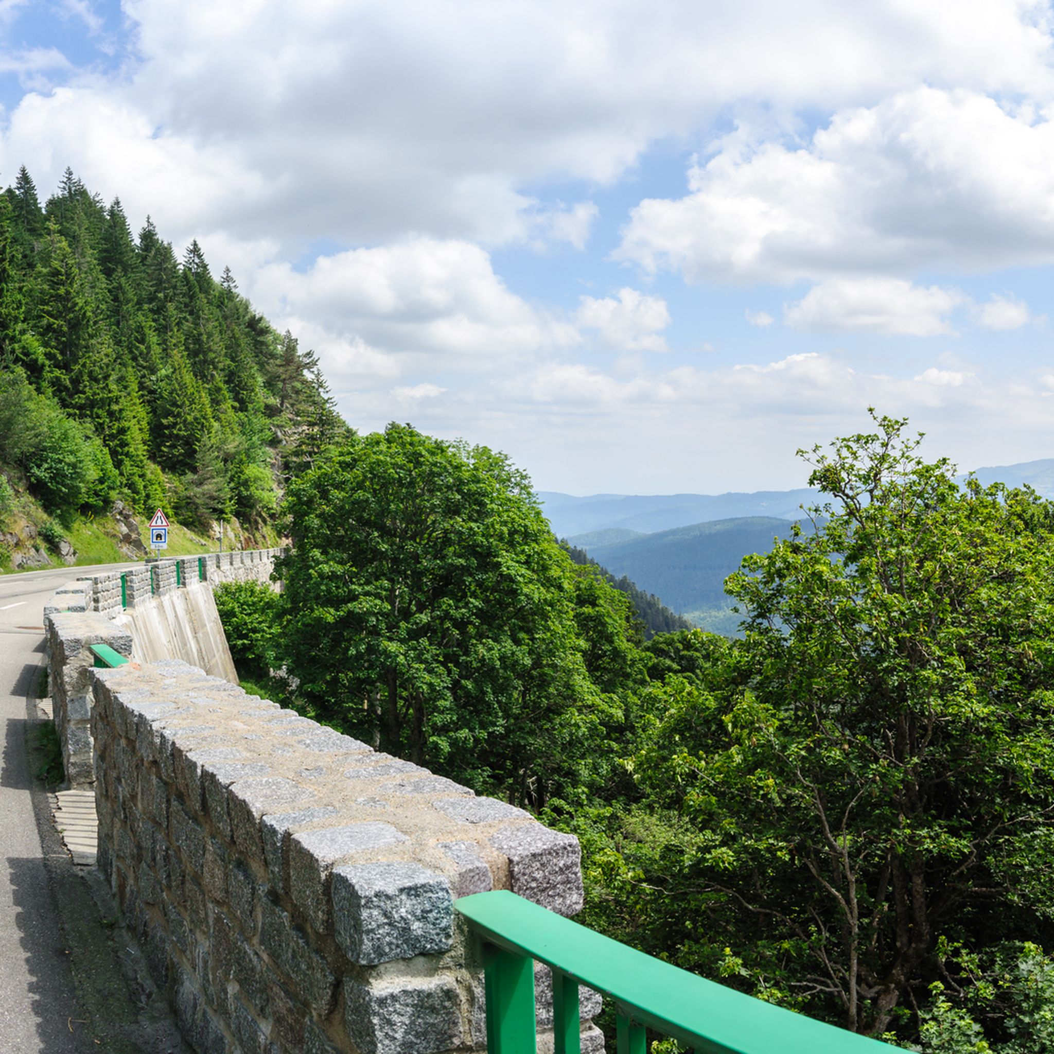
フルンシュリュック峠(748m)は、ヴィレール=シュル=テュールの上にある、静かで緑豊かな峠です。緩やかな登りと美しい自然が、この峠を南ヴォージュ山脈の快適な定番ルートにしています。テュール谷とドール谷の両方への接続も可能です。
6
0
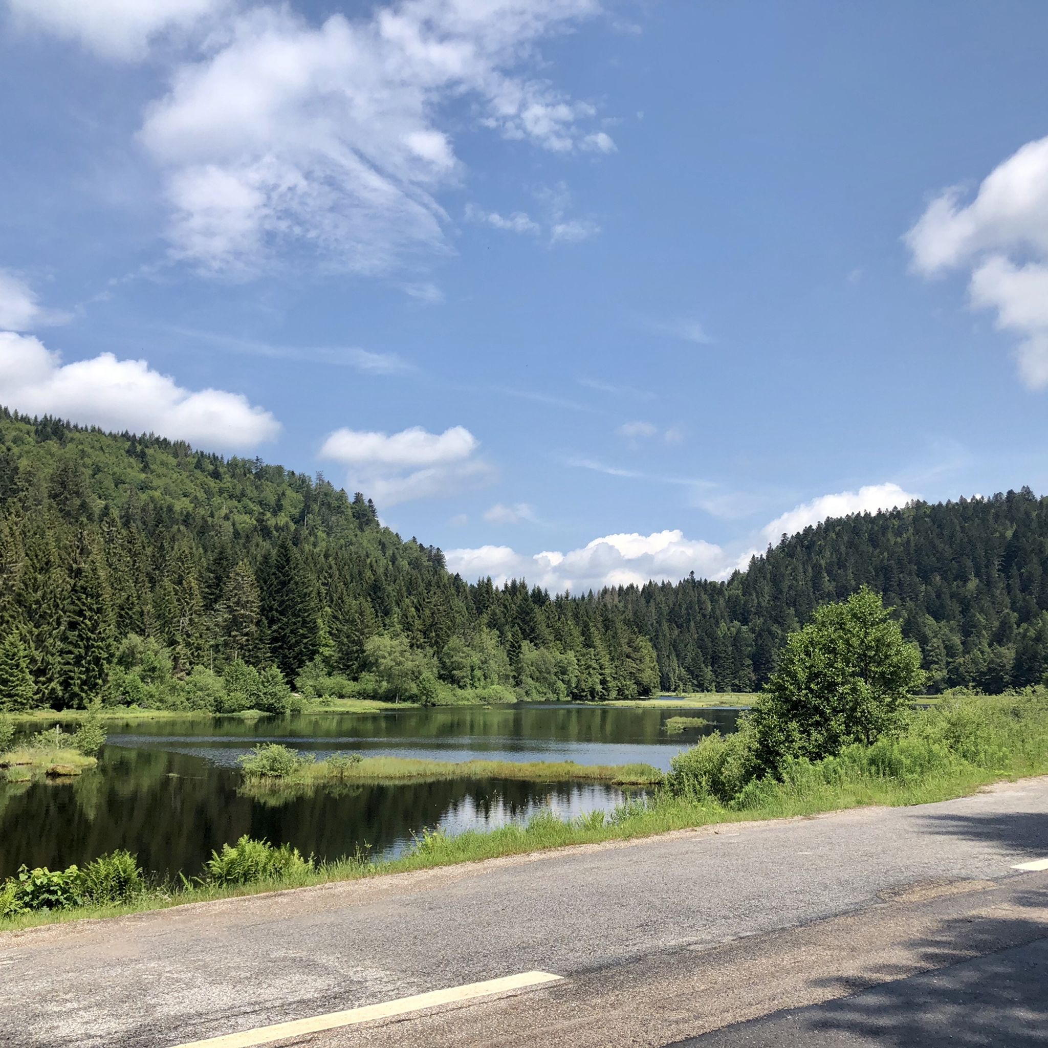
Stuwdam Lac de Kruth‑Wildenstein View over the quiet mountain lake on one side, and on the other side the steep, wooded rock face of the Thur valley.
8
0
De Col des Croix is a 679-meter-high mountain pass in the French Vogezen massif, located on the border of the Vosges and Haute-Saône departments. The pass forms an accessible connecting road (the D486) between the northern Le Thillot and the southern Servance. At the top, you will find the well-known Le Chalet Snack du Col des Croix, and the road splits towards the D16 (Route des Forts), the route that continues to the higher Ballon de Servance.
6
0
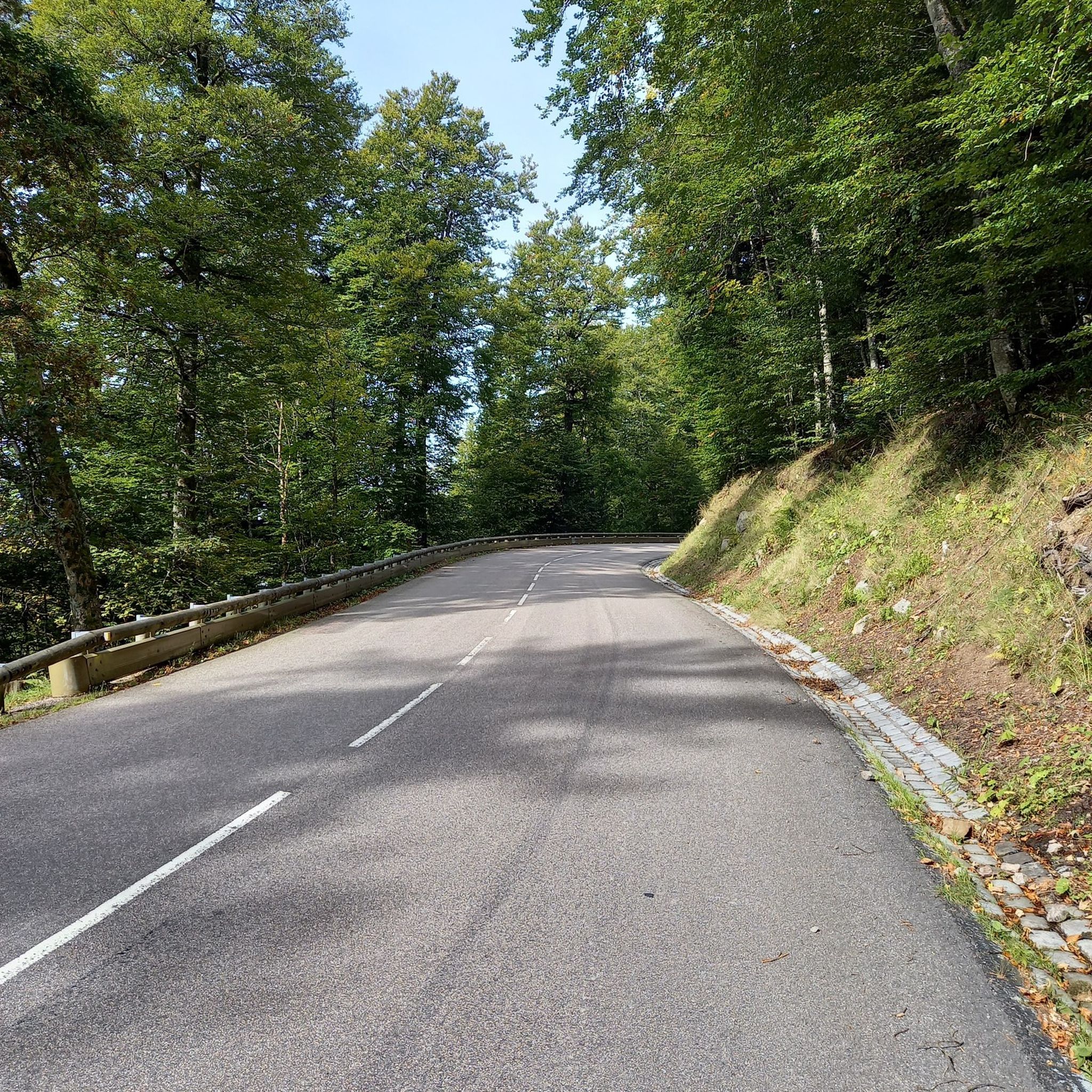
The end of the climb is somewhat disappointing. There is nothing marked. No photo opportunity. You have a small parking lot, a closed military road, and a picnic spot well hidden under the trees. At the two yellow signs (mainly for hikers) there is the only indication that you are at the Ballon de Servance and at 1158 m. The climb is "cozy". No cars, completely shaded, a few kilometer markers.
7
0
ラ・プランシュ・デ・ベル・フィーユは5.8キロメートルの峠です。カテゴリー1の峠です。フランス、フランシュ=コンテ、プランシュ=レ=ミネにあります。この峠の平均勾配は8.6%で、最大勾配は13.6%です。ラ・プランシュ・デ・ベル・フィーユは、スタート地点の標高527メートルから頂上の1,033メートルまで登り、合計506メートルの標高差があります。
7
0

適度な勾配で本当に走りやすいです。詳細はこちら: https://www.quaeldich.de/paesse/col-du-wettstein/
0
0

グレートイーストでのの人気ルート

komootモバイルアプリでインスピレーションを得よう


探していたものは見つかりませんでしたか?
グレートイーストの下にある他のロードサイクリングルートをチェックして、目的地で完璧なルートを見つけましょう。
さらに探索
他の地域の最高のロードサイクリングルートを見てみましょう。
