アホルフィングのおすすめツーリングルート
4.4
(584)
3,973
ライダー
33
ライド
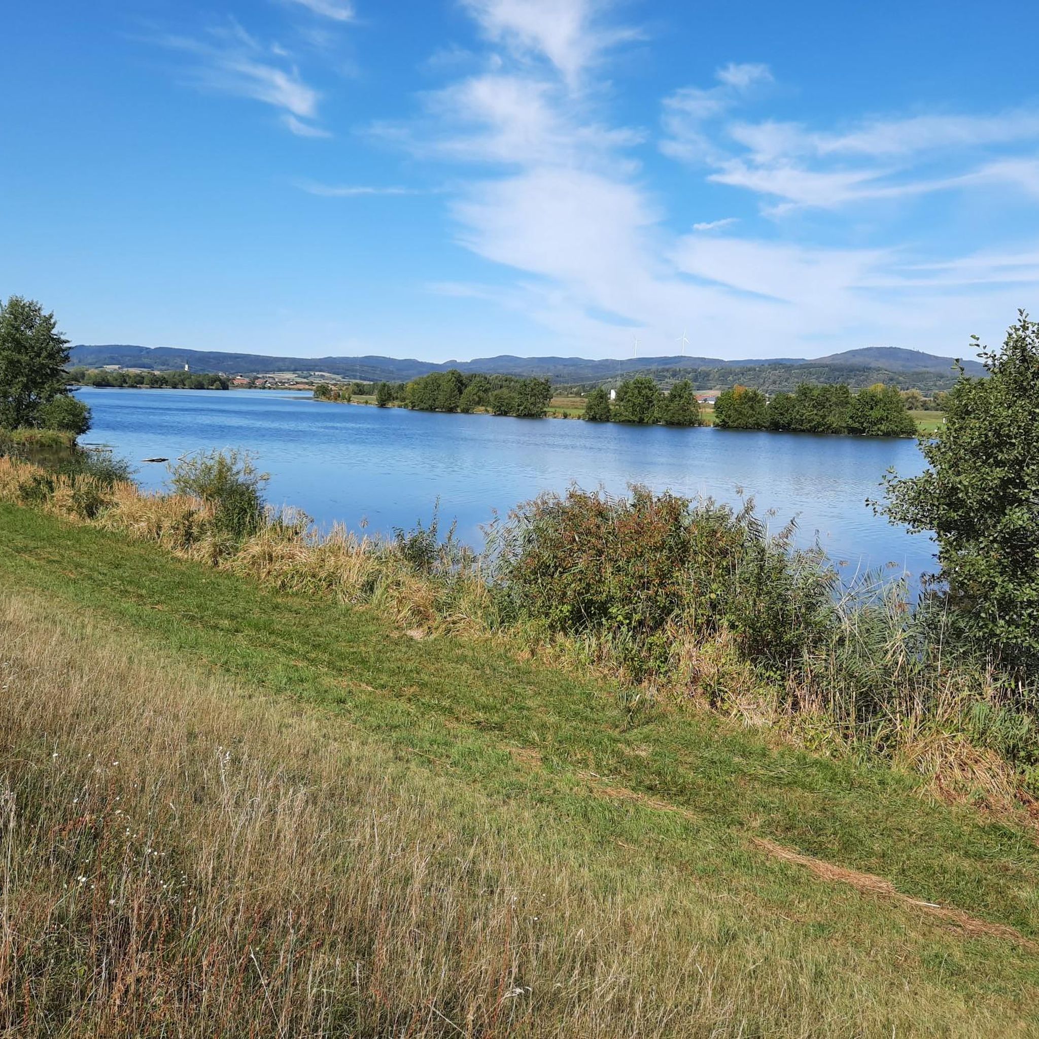
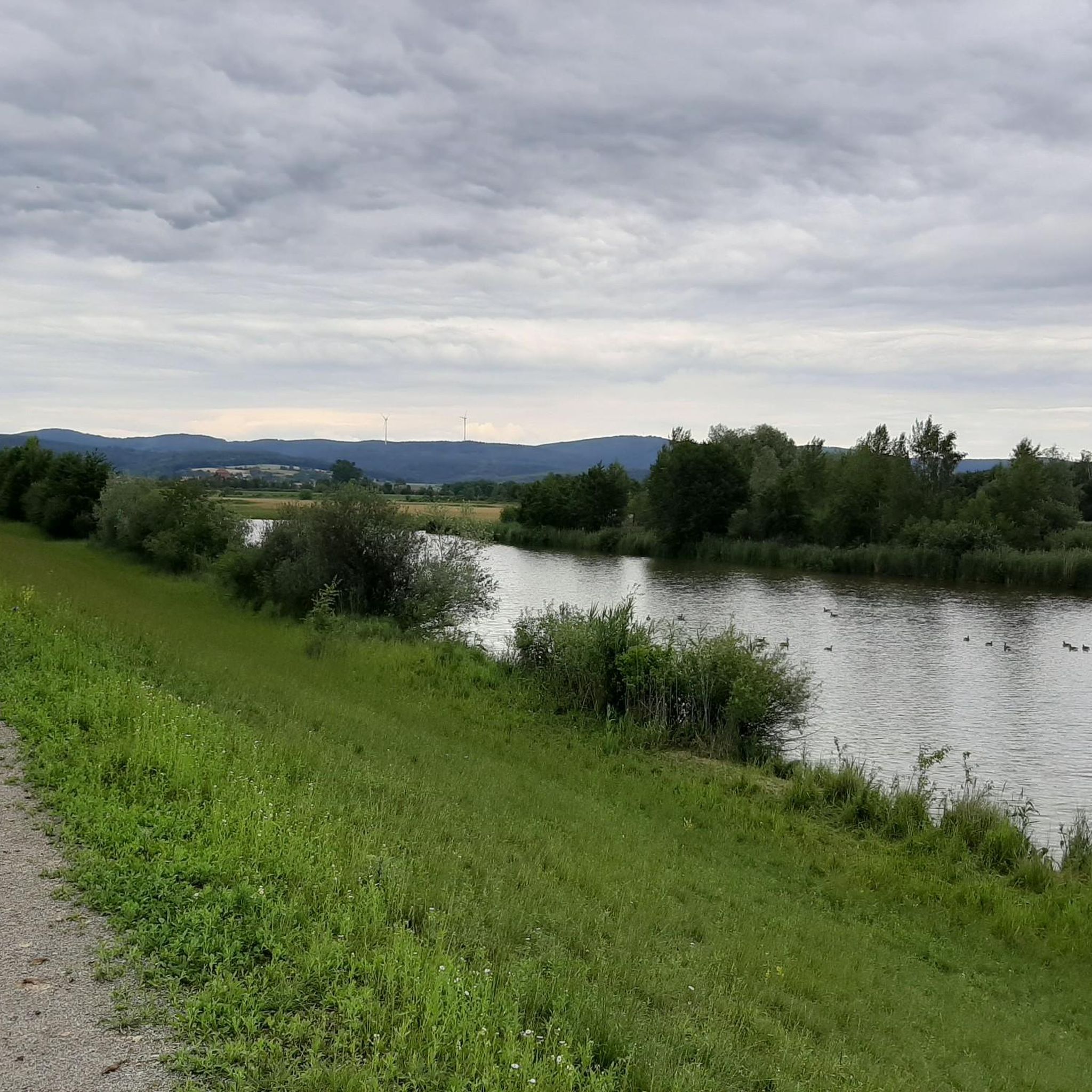
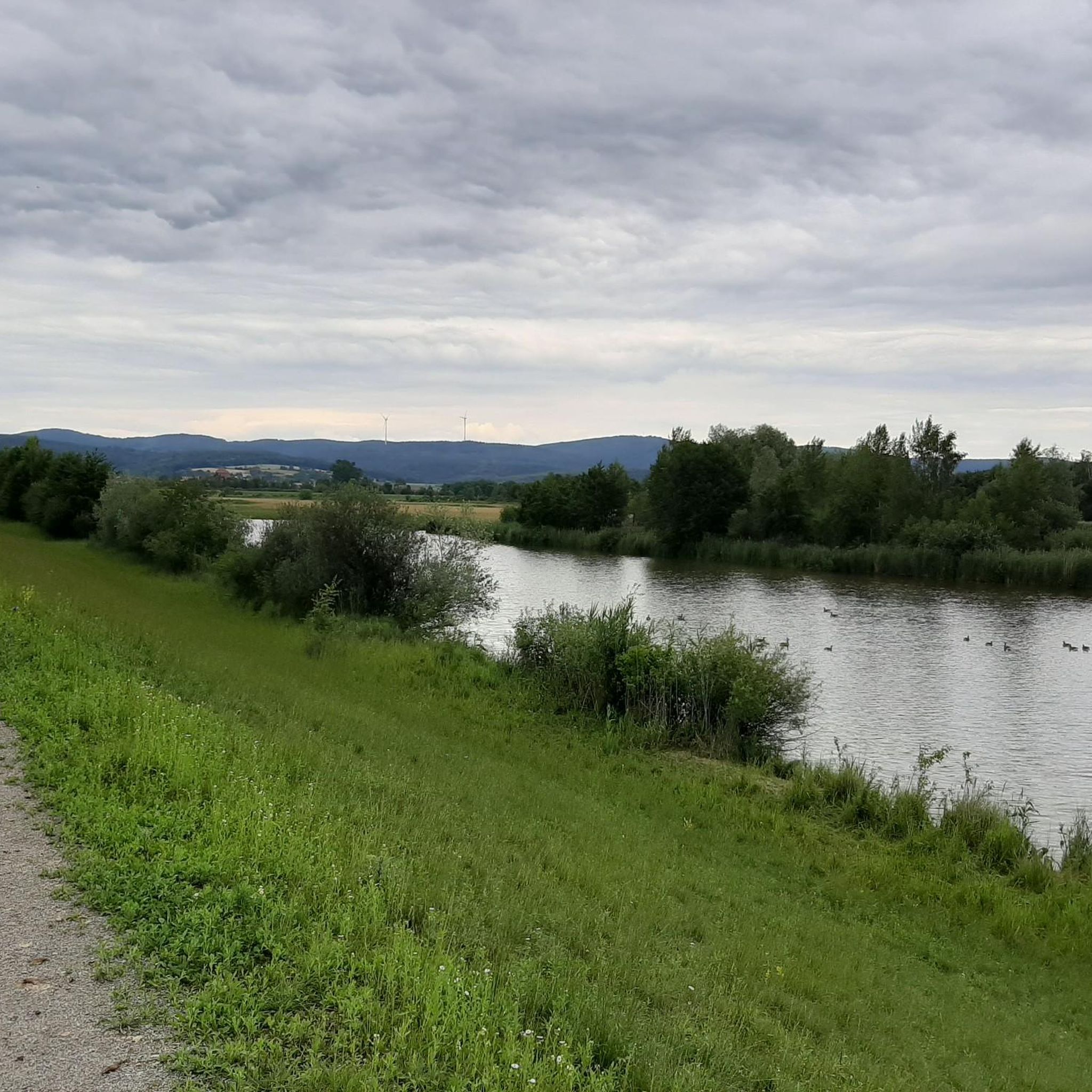
Aholfing周辺のサイクリングルートはバイエルン森の端に位置し、サイクリストに多様な景観を提供します。この地域は主に舗装された路面が多く、かつての鉄道線路に沿ったルートは傾斜がほとんどありません。サイクリストはドナウ川とグローセ・ラバー川沿いの河岸の風景、そして開けた野原や緩やかな丘を探索できます。全体的に地形はほとんど平坦で、リラックスしたサイクリングに適しています。
Aholfing周辺のベストサイクリングルート
- 最も人気のあるサイクリングルートは、シュトラウビング市庁舎塔 – オーバーモッツィングからのシュトラウビングの眺めループ、11.0マイル(17.8 km)で、所要時間は約1時間3分です。このルートはシュトラウビング近郊の都市部と河岸地域を通ります。
- 地元のサイクリストに人気のもう一つのルートは、シュトラウビングの眺め – オーバーモッツィングからのシュトラウビングダムループ、12.9マイル(20.7 km)の簡単なルートです。このルートはシュトラウビングの景色を楽しみながらドナウ川に沿って進みます。
- 地元のサイクリストに愛されているのは、イルリング近郊のドナウ川 – オーバーモッツィングからのプファッテラー・アウ自然保護区ループ、18.4マイル(29.6 km)のルートです。河岸の風景や自然保護区を通り抜け、所要時間は約1時間39分です。
- Aholfing周辺のサイクリングは、河岸の風景、緩やかな丘、そしてバイエルン森への近さが特徴です。このネットワークは、簡単な平坦な道から適度な登りがあるルートまで、さまざまなレベルのサイクリストに対応しています。
- Aholfingのルートは、komootコミュニティから高く評価されており、590件以上のレビューで平均4.5つ星を獲得しています。4000人以上のサイクリストがkomootを利用して、Aholfingの多様な地形を探索しています。
最終更新日: 10月 8, 2026
4.3
(3)
60
ライダー
17.8km
01:04
40m
40m
初級者向けバイクライド. あらゆるフィットネスレベルに適しています。 全般的に舗装された状態です。あらゆるスキルレベルに適しています。
4.6
(9)
59
ライダー
29.5km
01:40
40m
40m
初級者向けバイクライド. あらゆるフィットネスレベルに適しています。 全般的に舗装された状態です。あらゆるスキルレベルに適しています。

4.3
(10)
33
ライダー
50.7km
02:52
70m
70m
中程度の自転車ライド. ある程度のフィットネスレベルが必要です。 全般的に舗装された状態です。あらゆるスキルレベルに適しています。
5.0
(1)
25
ライダー
28.8km
01:40
40m
40m
初級者向けバイクライド. あらゆるフィットネスレベルに適しています。 全般的に舗装された状態です。あらゆるスキルレベルに適しています。
5.0
(1)
29
ライダー
11.6km
00:42
10m
10m
初級者向けバイクライド. あらゆるフィットネスレベルに適しています。 全般的に舗装された状態です。あらゆるスキルレベルに適しています。
さらに多くのルートや他のユーザーのおすすめ情報を確認できます。
すでにアカウントをお持ちですか?
おすすめのツアーは他のkomootユーザーが実際に経験した何千ものアクティビティに基づいています。
無料アカウントで今日から始めよう
次の冒険が待っています。
コミュニティからのヒント


シュトラウビングの市庁舎広場はいつも訪れる価値があります
0
0


Bridge currently difficult to pass due to construction work after the bridge towards the town centre
0
0

The **St. Jakob Parish Church** in Straubing! This impressive church is a significant landmark of the city and an outstanding example of Gothic architecture. Here are some interesting aspects: ### General Information - **Year of Construction**: Construction of the church began around **1395** and was completed in **1512** with the completion of the nave. - **Architecture**: St. Jakob is a **three-aisled hall church** with a ring of chapels and an ambulatory, considered a "late Gothic masterpiece of church architecture." ### Historical Significance 1. **Central Role**: St. Jakob is the largest main church in Straubing and plays a central role in the city's religious life. 2. **Canons' Foundation**: The church was originally part of the Pfaffenmünster Canonry, which was dissolved in 1581 during the Reformation. ### Architectural Features - **Gothic Elements**: The church boasts high vaults, delicate windows, and ornate decorations typical of the Gothic period. - **Artworks**: The interior features numerous works of art, including altars, sculptures, and frescoes, underscoring the religious and cultural significance of the site. ### Current Significance - **Services**: St. Jakob is an active center for worship and church events. Regular masses and special celebrations attract many worshippers. - **Tourist Attraction**: The church is also a popular destination for tourists who want to experience its impressive architecture and rich history. ### Summary The **St. Jakob Parish Church** in Straubing is not only an architectural gem but also a vibrant center of faith and community. Its historical and cultural value makes it a must-see for every visitor to the city! ✨
0
0

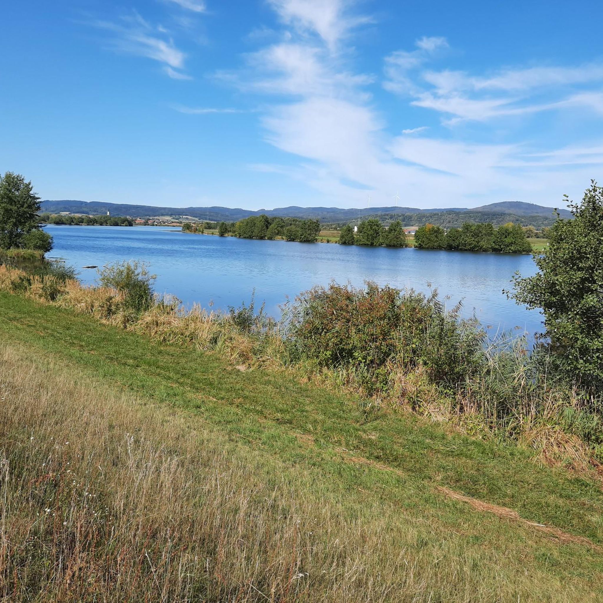
Now a beautiful bathing lake
0
0

アホルフィングでのの人気観光スポット

komootモバイルアプリでインスピレーションを得よう


さらに探索
他の地域の最高のサイクリングルートを見てみましょう。
