エルペルのおすすめランニングルート
4.9
(39)
330
ランナー
19
ランニング
エルペルでランニングを楽しめば、このエリアをより深く知ることができます。ランニングに適した美しいルートが見つかるように、komootがエルペルでのルートのコレクション全体を評価して選び抜いた、人気ランニングトレイルをご紹介します。ルートをクリックして詳細を表示し、他のユーザーがアップロードした役立つ情報や写真を閲覧しましょう。
最終更新日: 10月 27, 2026
4.5
(4)
73
ランナー
47.8km
05:01
240m
240m
難しいジョギング. 標準以上のフィットネスレベルが必要です。 ほとんどが舗装路です。
5.0
(5)
77
ランナー
9.82km
01:01
20m
20m
中程度のジョギング. ある程度のフィットネスレベルが必要です。 ほとんどが舗装路です。

5.0
(1)
16
ランナー
15.6km
01:37
50m
50m
難しいジョギング. 標準以上のフィットネスレベルが必要です。 ほとんどが舗装路です。
12
ランナー
5.01km
00:31
40m
40m
中程度のジョギング. ある程度のフィットネスレベルが必要です。 ほとんどが舗装路です。
さらに多くのルートや他のユーザーのおすすめ情報を確認できます。
すでにアカウントをお持ちですか?
おすすめのツアーは他のkomootユーザーが実際に経験した何千ものアクティビティに基づいています。
無料アカウントで今日から始めよう
次の冒険が待っています。
コミュニティからのヒント

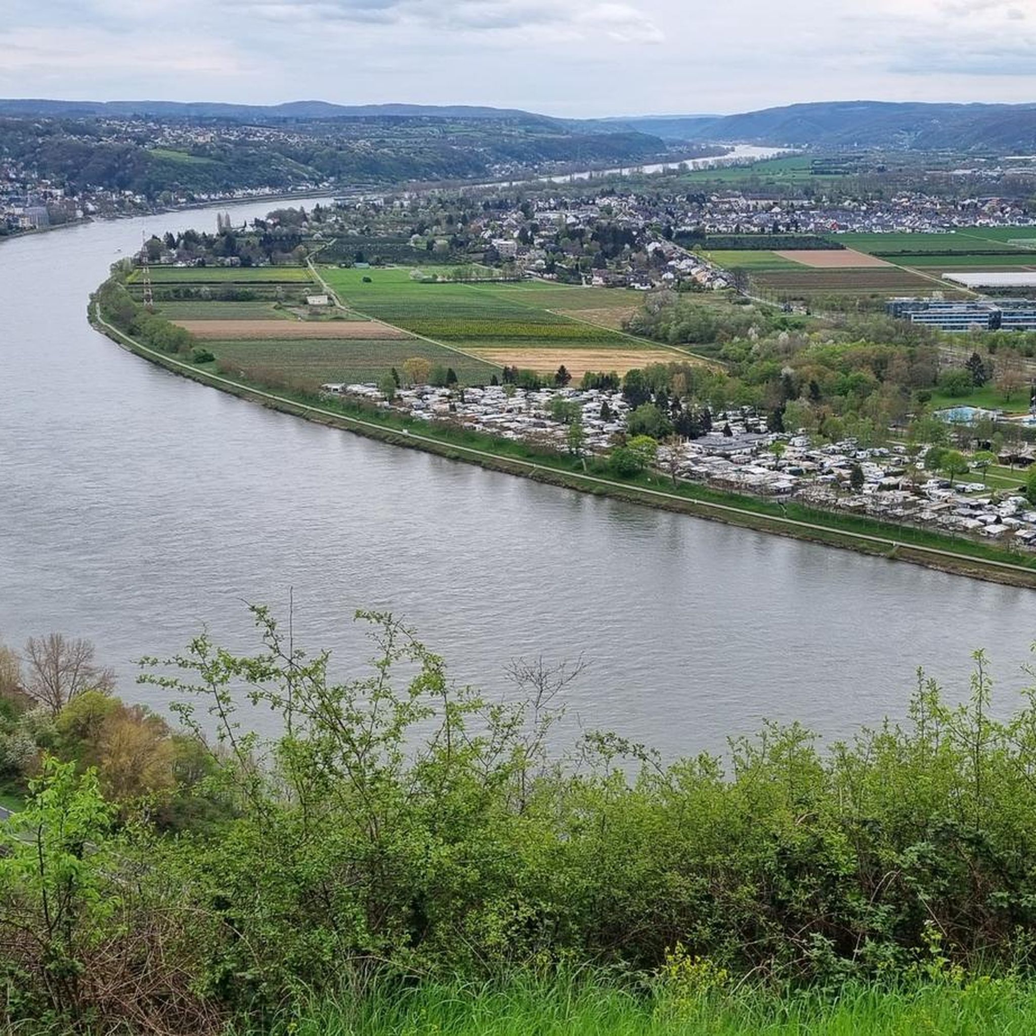
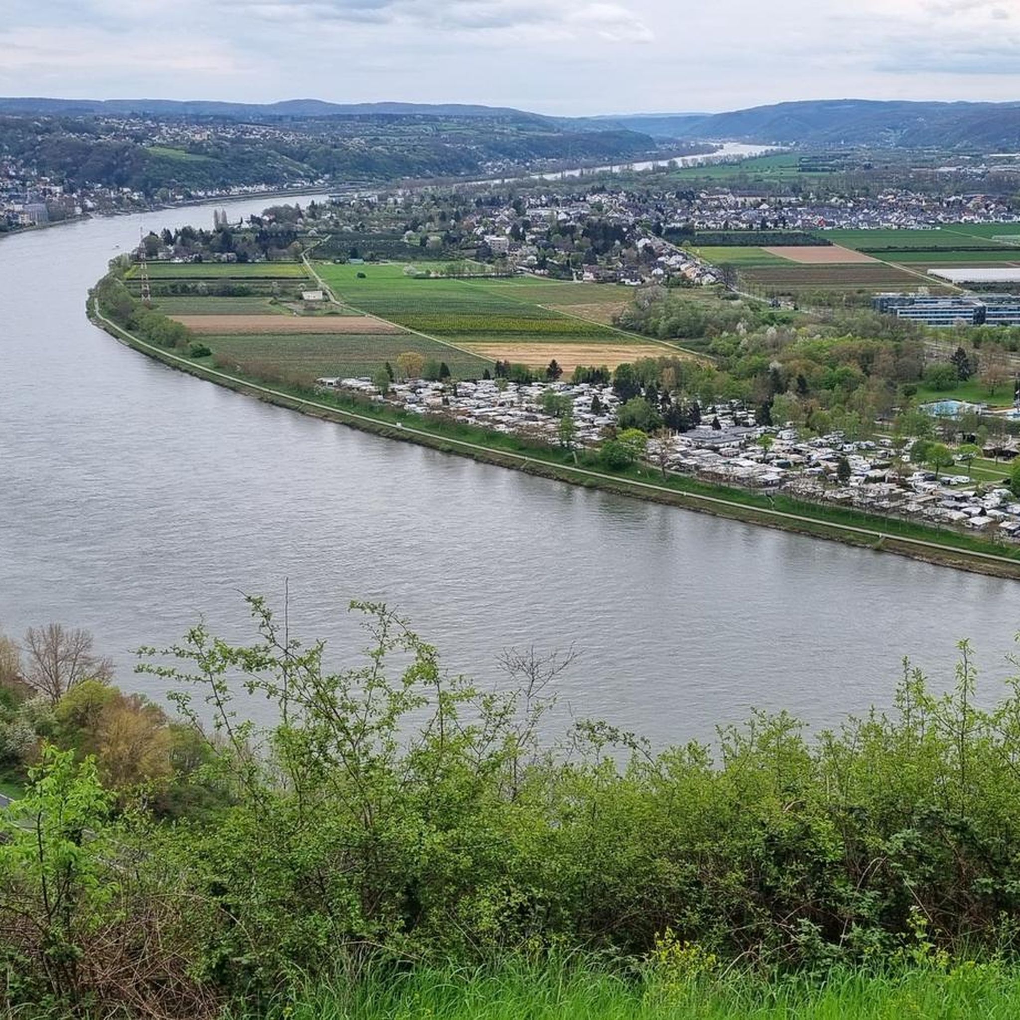
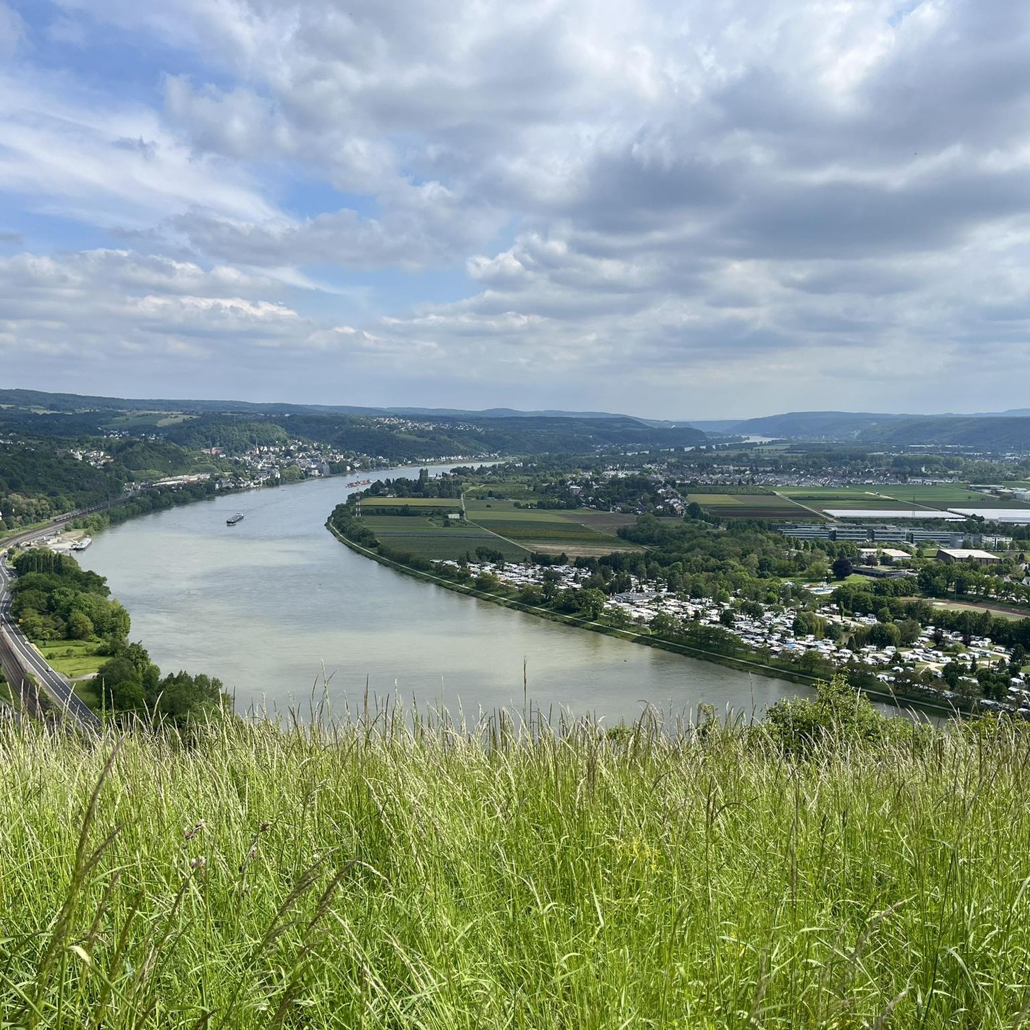
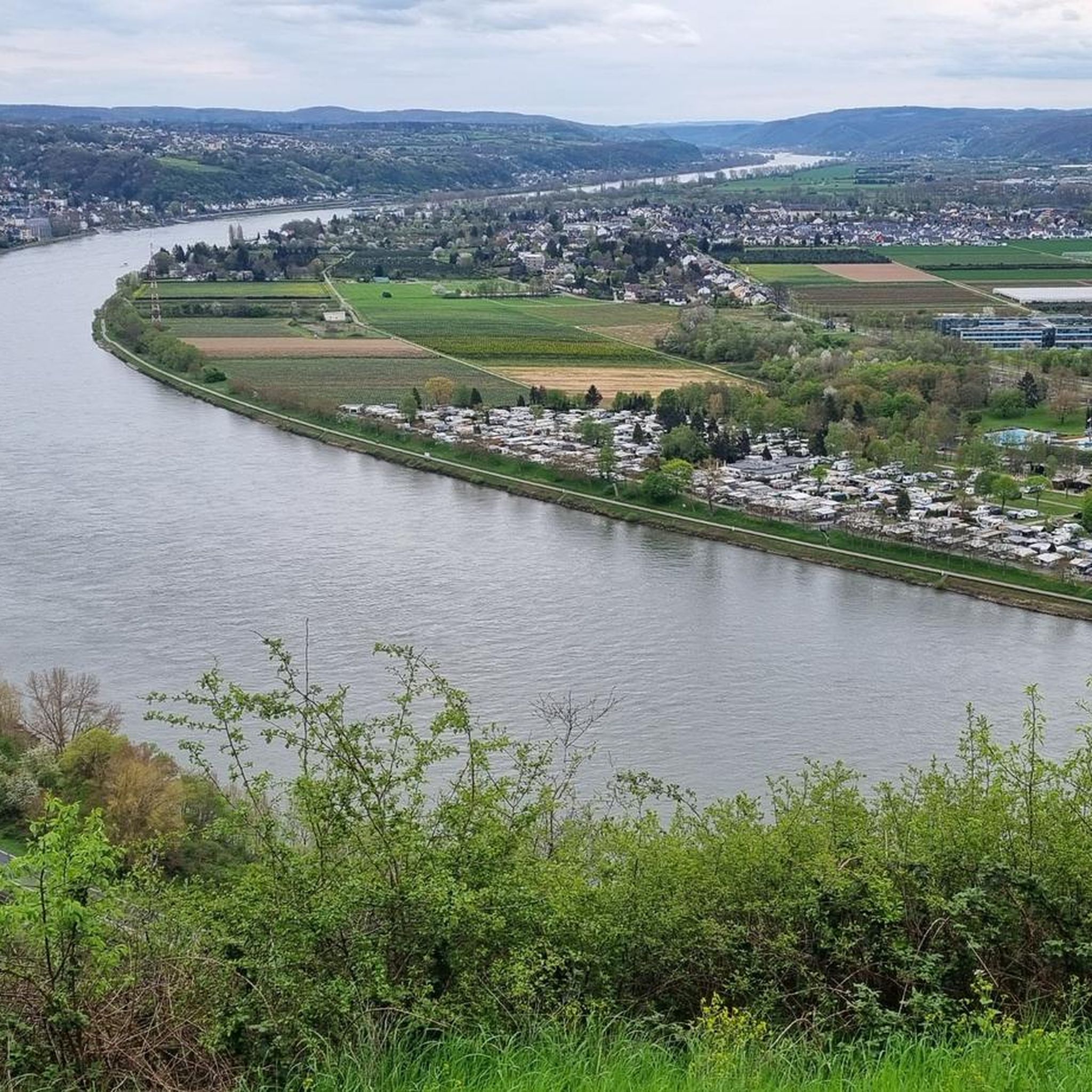
A really great view of the Siebengebirge 🦊🍀
9
0

Hello good tour
1
1

🌳It's lovely to unwind here🌳, a beautiful, long, well-maintained avenue that offers a changing view in every season🌿🍁, and to watch the ships passing by on the Rhine🚢🛟 right next to the avenue🌳. 🌳📸Great photo opportunities guaranteed📸🌳
2
0


Not a pretty view, but still a nice recreational area 🤙
2
0


In memory of the 140 Austrian soldiers who died of "hospital fever" (typhus) in Rheinbreitbach in 1793 and were buried in a mass grave.
2
0

<< Stuxberg · Unkeler Falte >> "In geology, folding refers to both the process of fold formation itself and the folded rock forms created as a result. During folding, layers of rock are formed by pressure from outside, here in Unkel the collision of the ancient continents Laurussia and Gondwana around 350 million years ago , mostly deformed in a wave shape. The highest point of a fold is called a saddle, the lowest point is called a trough, with the fold legs in between. The Unkeler Fold is a saddle in which the layers on the north side are steep or overturned. On the south side, the layers dip gently to the southeast and form the clearly visible steep wall of sedimentary rock. These are inclined layers that form when sand is deposited under flowing water. The sand is transported to the side facing away from the flow and poured down there so that it forms thin layers that slope diagonally in the direction of flow. Dune-like sand formations with flat rises and steep slopes are created, as we know them from deserts. But how do such inclined stratification bodies, which are quite typical of the deposits of a shallow sea near a river delta, where the flow intensity and direction constantly change, come to Unkel? Quite simply, Unkel was located 400 million years ago, near a coast, in the middle of a shallow sea. The special feature of the place: sediments and sedimentary rocks, also known as depositional rocks or stratified rocks, are created by the deposition of material on land and in the sea. Layering caused by material changes is characteristic of sediments. A layer formed the earth's surface for at least a short time. Furthermore, sedimentary rocks are the only rocks that can contain fossils. The Stuxberg is a classic discovery site for fossils from the Rhenish Devonian, where an approximately 10 cm thick layer of fossils produces numerous species of mussels, snails and crustaceans. A special feature are the brachiopods, so-called brachiopods, which were found in large numbers in the layer. One species was even named “chonetes unkelensis” after where it was found..." FURTHER INFORMATION: https://www.siebengebirge.com/index.php/wandern-radfahr/2-uncategorised/94-geowandel-g14 https://de.wikipedia.org/wiki/Stux https://www.unkel-kulturstadt.de/unkel/Sehen%20&%20Gehen/Wandern/Wie%20kommen%20der%20Stux%20nach%20Unkel%3F/
2
0

komootモバイルアプリでインスピレーションを得よう


さらに探索
他の地域の最高のランニングトレイル & ルートを見てみましょう。
