ルート

プランナー

機能

アップデート

App

ログインまたはサインアップ

アプリを入手

ログインまたはサインアップ

ルート
ランニングコース
ドイツ
ラインラントプファルツ州
EifelkreisBitburg-Prüm

ボレンドルフ

ボレンドルフのおすすめランニングルート

3.9

(23)

148

ランナー

16

ランニング

ボレンドルフでランニングを楽しめば、このエリアをより深く知ることができます。ランニングに適した美しいルートが見つかるように、komootがボレンドルフでのルートのコレクション全体を評価して選び抜いた、人気ランニングトレイルをご紹介します。ルートをクリックして詳細を表示し、他のユーザーがアップロードした役立つ情報や写真を閲覧しましょう。

最終更新日: 8月 26, 2026

4.9

(7)

55

ランナー

#1.

Bollendorfから出発する Eulenhorstの岩の迷路 – Maria Theresienstein ループコース

8.73km

01:08

310m

310m

難しいジョギング. 標準以上のフィットネスレベルが必要です。 全般的に舗装された状態です。あらゆるスキルレベルに適しています。

デバイスでナビ

スマートフォンに送信

保存

難しい

難しいジョギング. 標準以上のフィットネスレベルが必要です。 全般的に舗装された状態です。あらゆるスキルレベルに適しています。

難しい
guide_signup
私たちがkomootモバイルアプリで道を示します
無料の komoot アカウントがあれば、無限のアウトドアコースを簡単に見つけてカスタマイズし、ナビで案内できます。

無料新規登録

中程度のジョギング. ある程度のフィットネスレベルが必要です。 全般的に舗装された状態です。あらゆるスキルレベルに適しています。

中程度

中程度のジョギング. ある程度のフィットネスレベルが必要です。 全般的に舗装された状態です。あらゆるスキルレベルに適しています。

中程度

中程度のジョギング. ある程度のフィットネスレベルが必要です。 全般的に舗装された状態です。あらゆるスキルレベルに適しています。

中程度
無料新規登録すると、ボレンドルフでのでのランニングをさらに12件ご覧いただけます。

さらに多くのルートや他のユーザーのおすすめ情報を確認できます。

無料新規登録

すでにアカウントをお持ちですか?

おすすめのツアーは他のkomootユーザーが実際に経験した何千ものアクティビティに基づいています。

無料アカウントで今日から始めよう

次の冒険が待っています。

ログインまたは登録

ボレンドルフ周辺で人気

モイルンドルと百な百おり - トュンエアイルの6月時
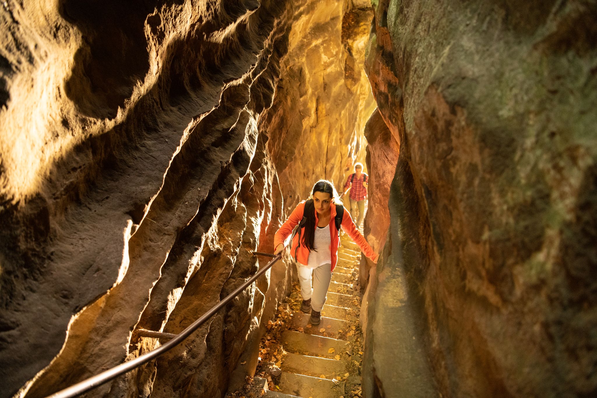
Lakes, castles and rocks – hiking in the NaturWanderPark delux
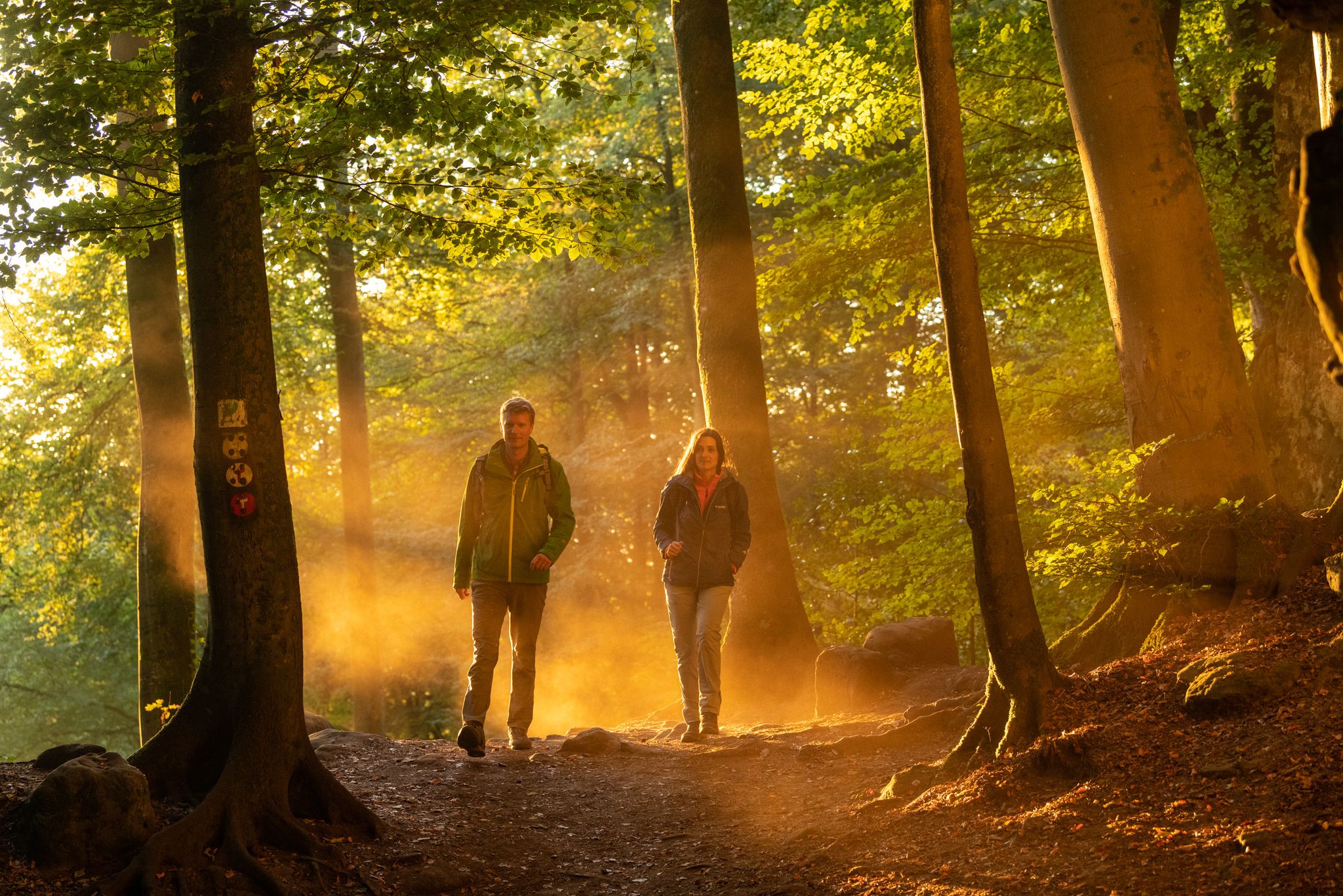
Mysterious forests and gorges — South Eifel and Luxembourg
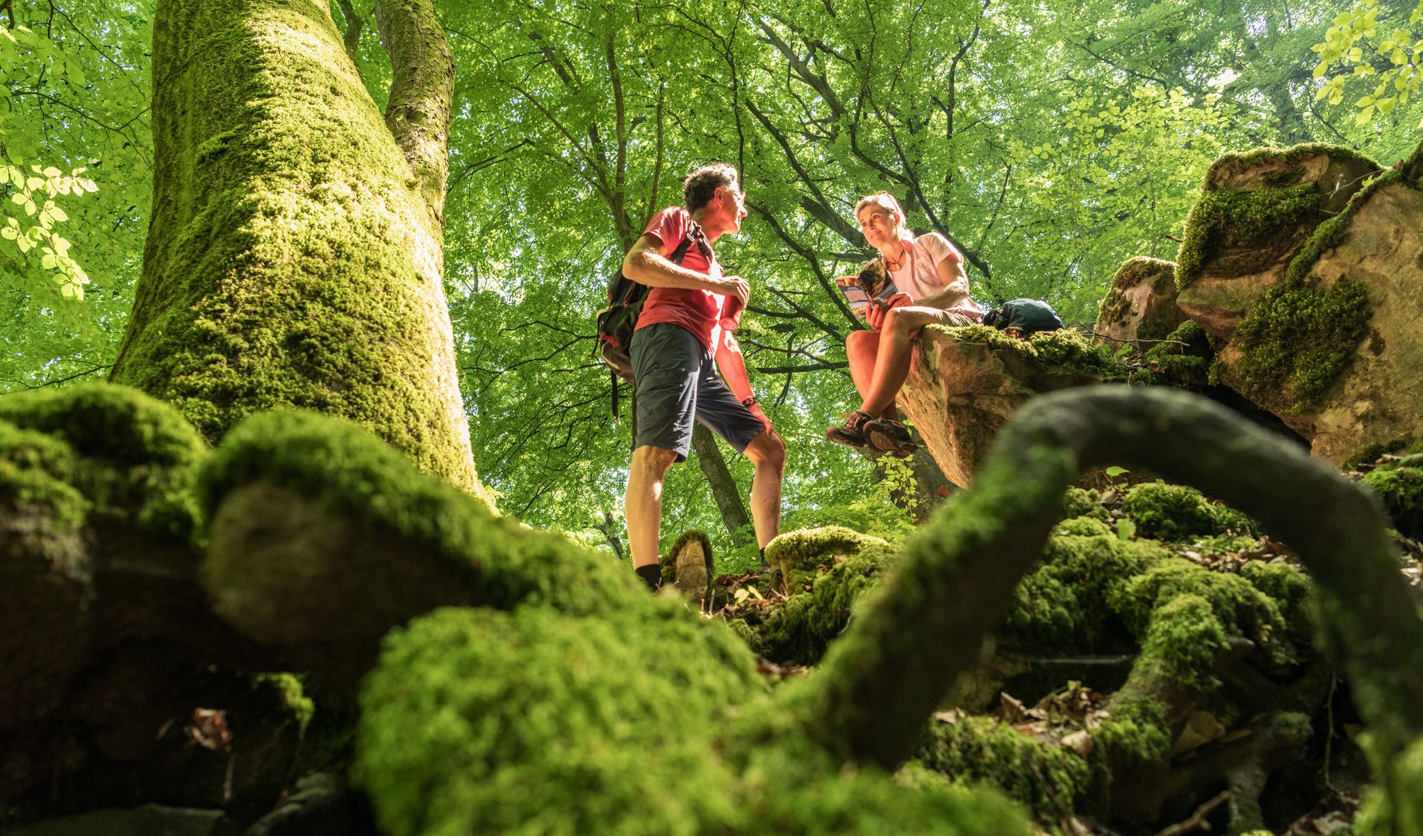
Ancient forests in the DeLux Nature Park
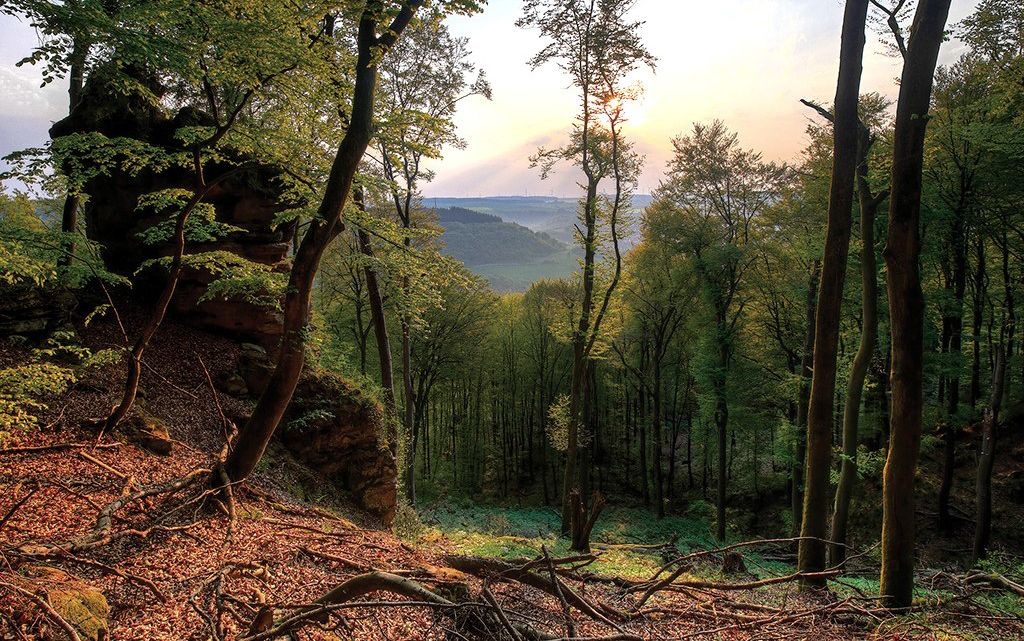
Mystical gorges and deep forests — hiking in Southern Eifel and in Luxembourg
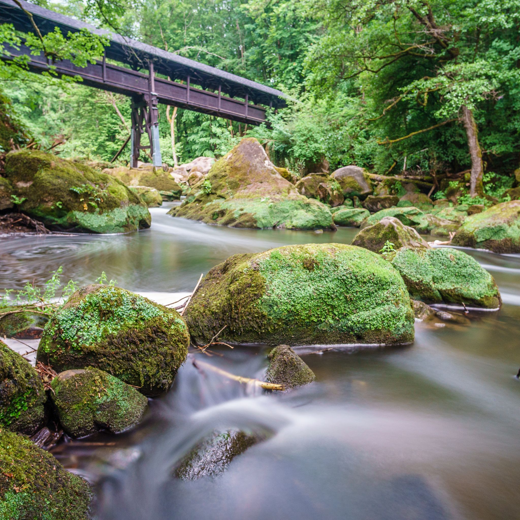
ボレンドルフでのハイキング
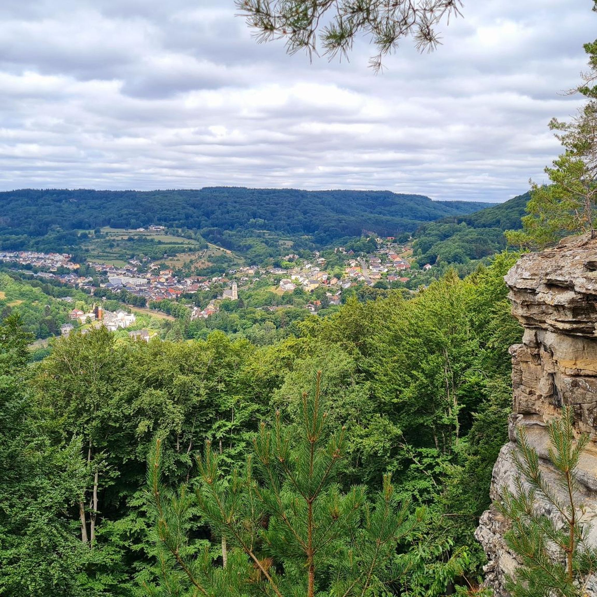
ボレンドルフでのサイクリング
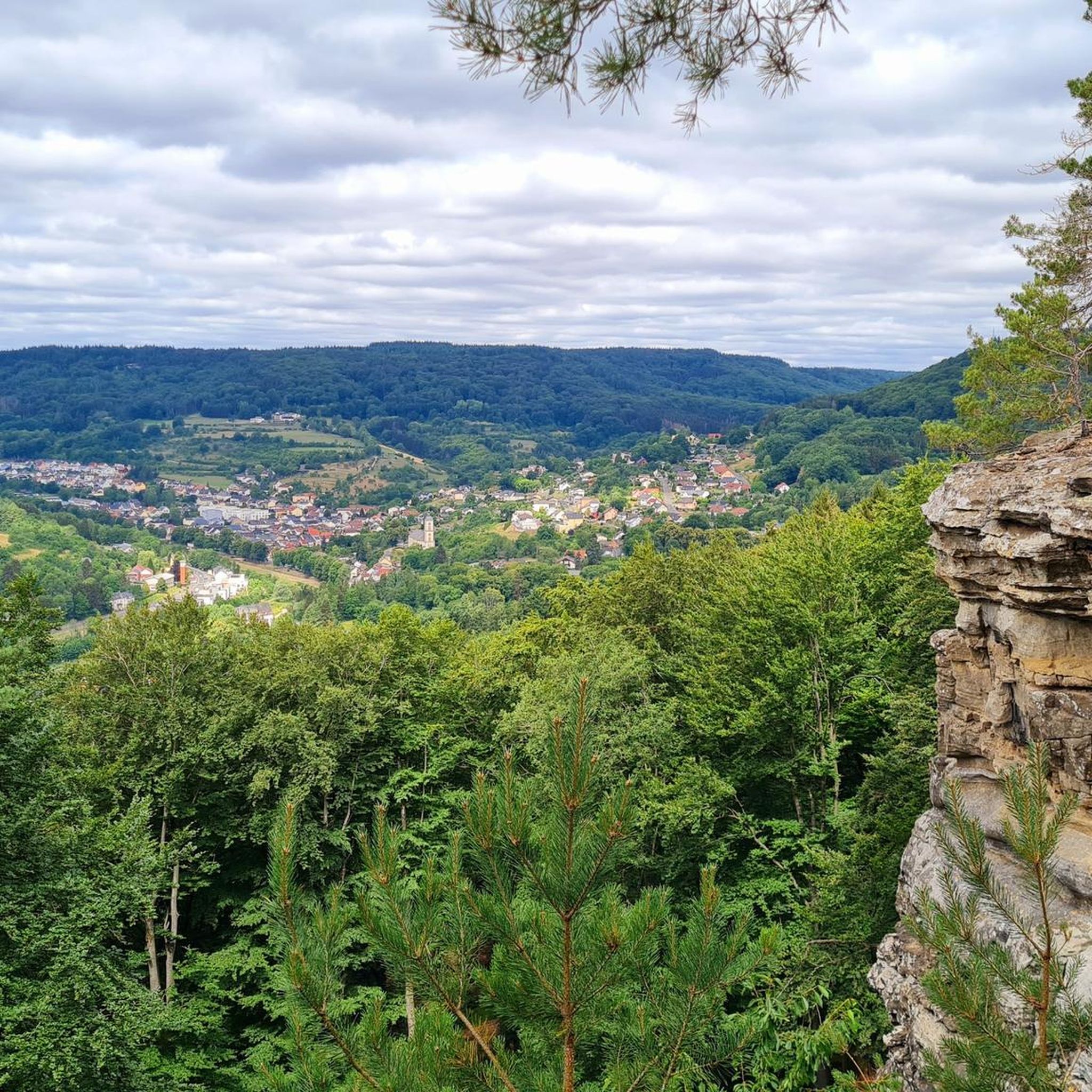
ボレンドルフのロードバイクルート
ボレンドルフのMTBトレイル

ボレンドルフでの登山&山歩き

ボレンドルフでのの他の冒険

モイルンドルと百な百おり - トュンエアイルの6月時

マウンテンバイクのコレクション によって

komoot

コミュニティからのヒント

A M
7月 14, 2026, Bollendorf-Pont Independence Memorial

美しい場所

Google翻訳による翻訳

1

0

この名称は、18世紀にボレンドルフ周辺地域を統治していたオーストリア大公妃であり、オーストリア領ネーデルラントの統治者であったマリア・テレジア(1717–1780)に由来します。今日、マリア・テレジエン・シュタインは主に、ラオシュトゥール「グリューネ・ヘレ」(Grüne Hölle)内のウェイポイントとして機能しています。ルート案内の中に組み込まれており、ツアーの一部として、景観的および歴史的な関連性を持つステーションとして紹介されています。

Google翻訳による翻訳

43

0

Text according to the information panel: The large, sculpted stone was erected during the reign of Empress Maria Theresa of Austria, around the 18th century. It marked the border between the lordships of Echternach and Vianden, thus forming the border region between the Duchy of Luxembourg and the Electorate of Trier. The east side of the stone displays the coat of arms of Echternach Abbey: Saint Willibrord with his bishop's staff. The west side, however, bears the coat of arms of the County of Vianden with a rampant lion. On the Echternach side, one can also see the letters A.O. (Abbatia Ordinis – Abbey Order) and E.E. (Echternachensis Ecclesiae – Church of Echternach). On the Vianden side, the letters C.V. (Comitatus Vianden – County of Vianden) can be read. The stone was restored and re-erected in the 1970s. Originally, it stood slightly further south, directly on the historical border. Today it is located on the hiking trail between Bollendorf and Wallendorf.

Google翻訳による翻訳

49

0

Perched atop a rocky plateau stands this simple summit cross, which gives the place its name. From here, an impressive view unfolds across the Sauer Valley, the wooded heights of the Eifel region, and as far as Luxembourg. The Kreuzlay is located on the Ferschweiler-Bollendorf plateau and is part of several popular hiking trails, including the Felsenweg 2 (Rock Trail 2) and the "Grüne Hölle" (Green Hell) route. The ascent leads along narrow paths and past rock formations. Due to its scenic beauty and geological significance, the Kreuzlay is considered one of the most beautiful viewpoints in the Southern Eifel.

Google翻訳による翻訳

49

0

Text according to the information panel: Nature Trail Deluxe – Premium Hiking – German-Luxembourgish Tours Rock Trail 2 – Bollendorf – Beaufort Luxembourg Sandstone Cliffs – Les roches de grès luxembourgeois Rock Trail 2 leads through Bollendorf (Moselle-Eifel) on the German side and through Beaufort (Müllerthal Region – Little Switzerland) on the Luxembourg side. This route is an exceptional hike through the fascinating landscape of Luxembourg sandstone cliffs. On the German side, the Bollendorf rock plateau impresses with its bizarre rock formations, caves, and overhangs. On the Luxembourg side, the trail leads through the romantic forests and gorges of the Müllerthal Region, where mighty rocks, moss-covered boulders, and narrow crevices alternate. The circular route impressively demonstrates how nature and geology have shaped the landscape. Numerous viewpoints and rest areas invite you to linger. Particularly worth seeing are the impressive rock formations near Bollendorf and the Beaufort castle ruins with their medieval charm. The "NaturWanderPark delux" offers a cross-border hiking experience between Germany and Luxembourg. The trails are certified as premium hiking routes and guarantee the highest quality in terms of nature experience, trail design, and signage.

Google翻訳による翻訳

1

0

A small hut with a bench stands next to the Maria Theresa Stone. A historic boundary stone from the 18th century. A detailed information panel explains it.

Google翻訳による翻訳

12

0

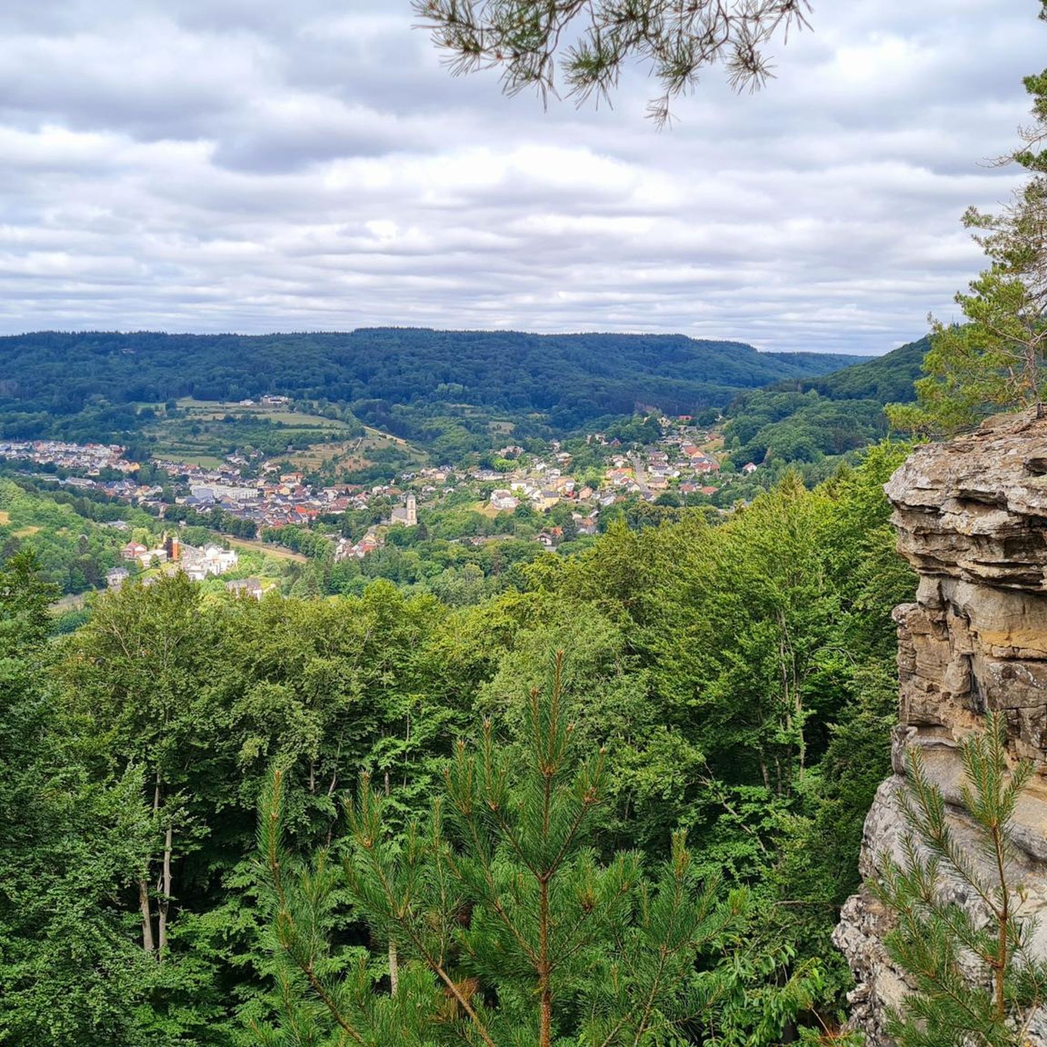
A small viewing platform offers a view of Bollendorf. Several benches invite you to rest.

Google翻訳による翻訳

5

0

It's no coincidence that the Bollendorf hiking trail "Green Hell" took second place in Germany's most beautiful hiking trail 2024. As a special treat, the tour is also available as an audio guide app with plenty of additional information.

Google翻訳による翻訳

8

0

ボレンドルフでのの人気ルート

ボレンドルフでのハイキング

ボレンドルフでのの人気観光スポット

Natural Monuments

Store rating

komootモバイルアプリでインスピレーションを得よう

無料のkomootアカウントがあれば、無限のアウトドアコースを簡単に見つけてカスタマイズし、ナビで案内できます。

または

今すぐkomootに参加しよう

Store rating

さらに探索

他の地域の最高のランニングトレイル & ルートを見てみましょう。

EchternacherbrückベルコトオーバーピアーシャイトヒュッテルシャイドロデルショーサンケッペスハウゼンコックスハウゼンアッパースハウゼンゲミュントヴィスマンスドルフゼレリッヒナジンゲンスタウジービットバーグヴィーアスドルフBiersdorf am SeeムセラートWaldhof-FalkensteinウェダンジャンピンテスフェルトマールシャイトベルシャイドダウヴェルスハウゼンマエルキンツェンブルクアルトシャイトゲンティンゲンケルペリッヒヒュッティンゲンベイラービットブルクニーダーヴァイスウトシャイトニーダーゲックラーKammerwaldRoth an der OurガイヒリンゲンダックスシャイドオーバーゲックラーブレヒトオーバーヴァイラープリュートシャイトハーガルテンユーバーアイゼンバッハプリュームツルライビースドルフヴァレンドルフプリュムゴンデンブレットヴァクスヴァイラーニーダーピアーシャイドヘルブストミューレファーシュヴァイラーストッケムクルッテンエヒタースハウゼンシュナイフェルクラウトシャイトアフラーインゲンドルフヴェットリンゲンゼフェニヒベイノイアーブルクニールヒセルキールブルクヴァイラーランバーツベルクラシャイトキルブルクフリーセムバウスタートオルスドルフハルスドルフBedhardプライシャイトツェントシャイトカールスハウゼンスタインボーンマルベルクヴァイヒネイデンバッハラウペラートフィッシュバッハオーバーラーデンホンマーディンゲンナッテンハイムヴィルセッカージンシュペルトイアレルRöhlサンクトトーマスゼフェニヒ(私たち)WinterscheidニーダーラーデンシャイテンコルブペッフィンゲンノイアーブルクリーセムAmmeldingen an der OurグロースカンペンベルクショイアーンオレンホーフェンウッシュミュバッハグロースランゲンフェルトメニンゲンビューデスハイムオルレンバッハザインスフェルトケスフェルトノイハイレンバッハメッテリッヒスルムニーダーシュテデムメッセリッヒミュッツェニヒダスブルクシャルフビリヒエーレンツフィリップスハイムエルンツェンホルシュトゥムAuw an der Kyllヒュッティンゲン・アン・デア・キルバイリンゲンリアーフェルトエッテルドルフカシェンバッハヴァッツェラートAuwbeiPrümRothbeiPrümヴィンターシュペルトシュパングダーレムリューネバッハヌスバウムビュシェヴァラースハイムマッツェラートシャンクワイラーダレイデンライデンボルンPreistハイレンバッハファイルスドルフピッテンバッハロシャイトラーゼルシュトリックシャイトオイシャイトビルトリンゲンオーバーラシャイトダーネンザイヴェラートアイルシャイトOberweisギースドルフハイスドルフメッケル憩室ニムスロイラントヘルフォルストドックケンドルフヘルスドルフシュヴィルツハイムHostenブリミンゲンディンクドルフハルシュペルトライペルディンゲンハプシャイトフォイアーシャイトニーダーラウフクラインランゲンフェルトイデンハイムゼンゲリッヒヴィンリンゲンシェーネッケンプロンスフェルトメッテンドルフイデスハイムマストホルンオーバーラウフオーバーカイルTrimportヘルツフェルドギルツェムブライアルフビッケンドルフオーバーシュテデムバレスフェルトゼファーヴァイヒゼファーンオルツハイムヘックシャイトエッシュフェルトオルスフェルトニムシュシャイトヴォルスフェルトリュツカンペンツヴァイフェルシャイドグランスドルフジャッケンフレリンゲンギンドルフプラシャイトアンメルディンゲンバイノイアーバーグロンマースハイム円善イルルハウゼンエンメルバウムハイルバッハアルツフェルトウフェルトバーデムオルムシャイドReiffリヒテンボルンドゥーデルドルフゴンドルフキッケスハウゼンPickließem

近くのアドベンチャーガイド

ファーシュヴァイラーでやるべきこと

background

新しいピークを征服する準備をしよう

無料でサインアップ

探検する
ルートルートプランナー機能バウチャーを利用ハイキングMTBトレイルロードバイクルートバイクパッキングサイトマップ
アプリをダウンロード
SNSでフォローする

© komoot GmbH

プライバシーポリシー