デルルモシェルのおすすめランニングルート
4.4
(43)
596
ランナー
45
ランニング
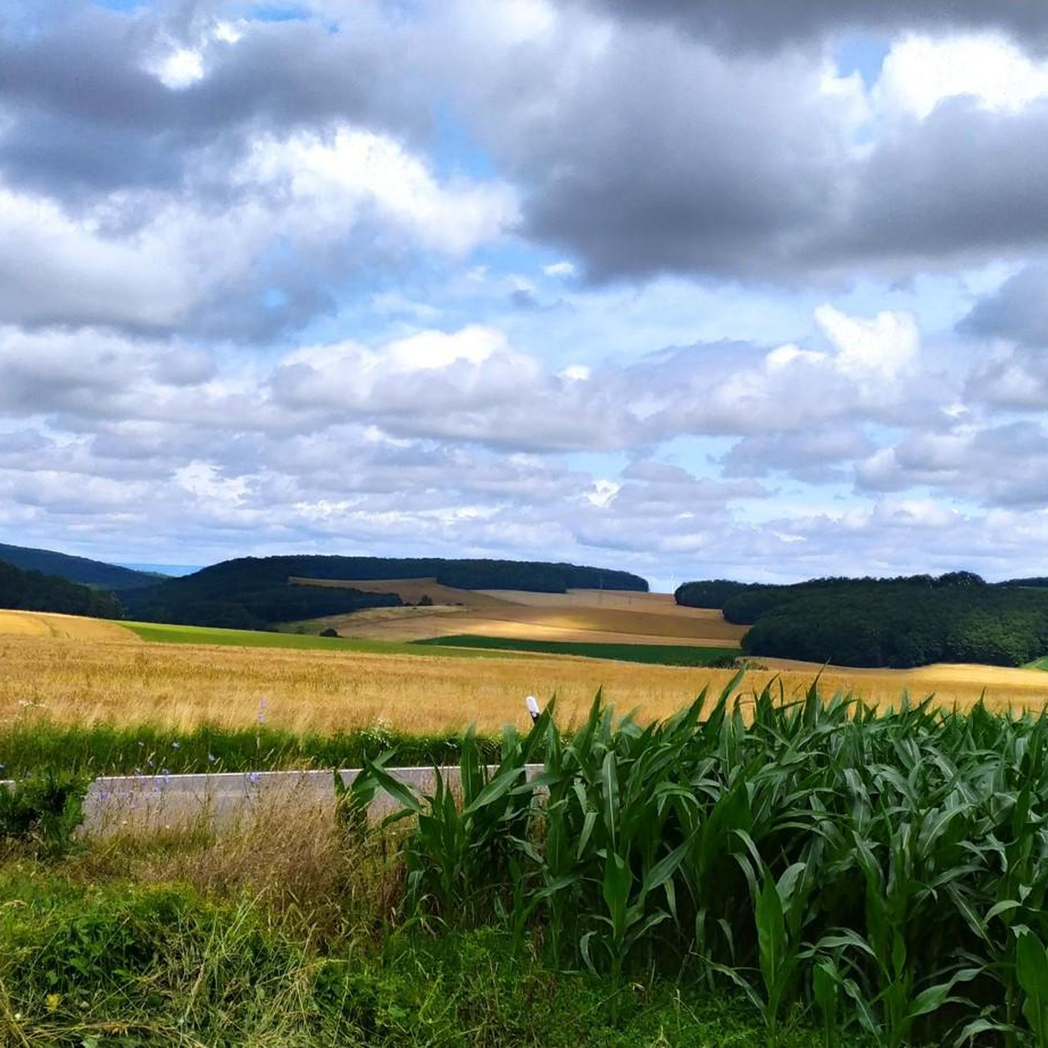
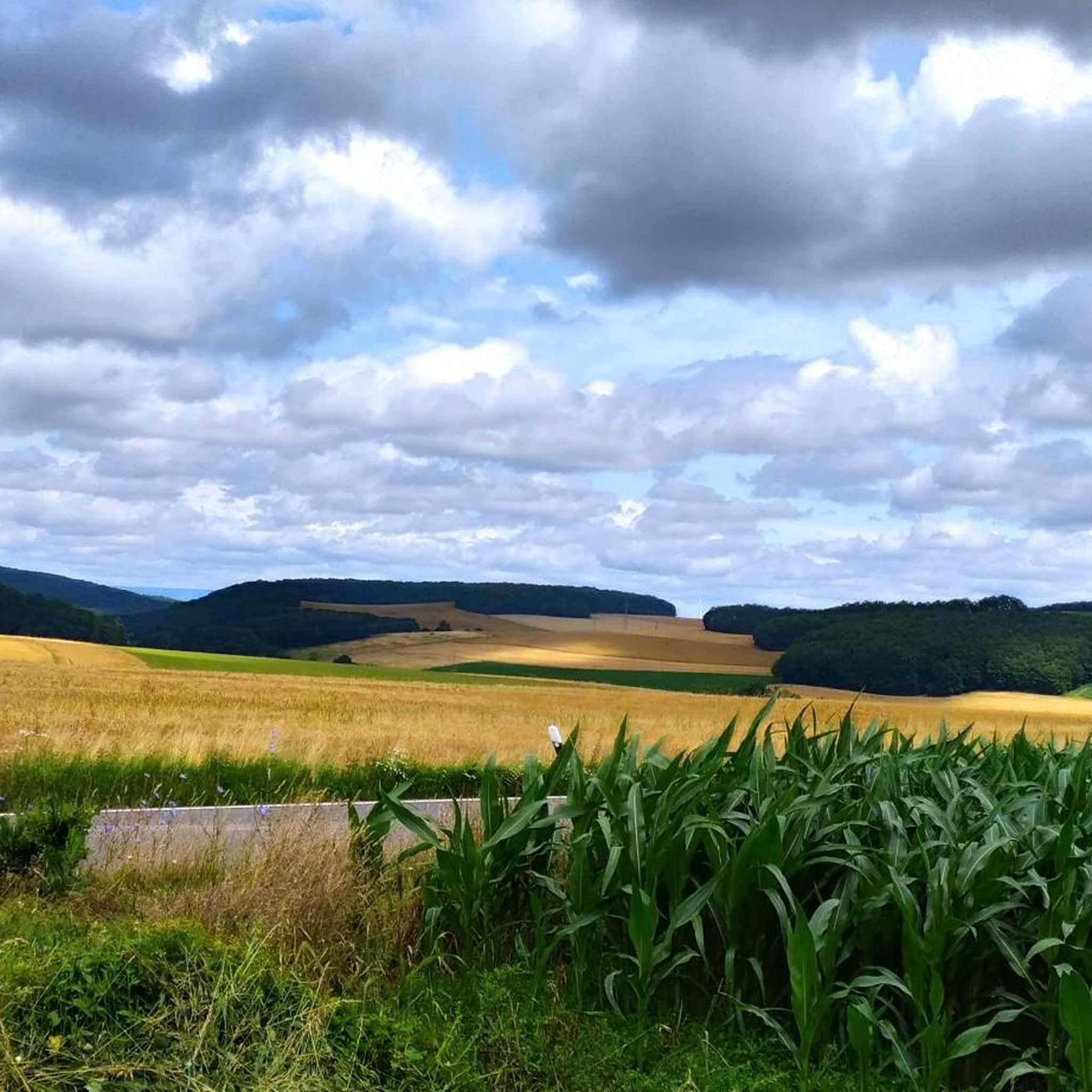
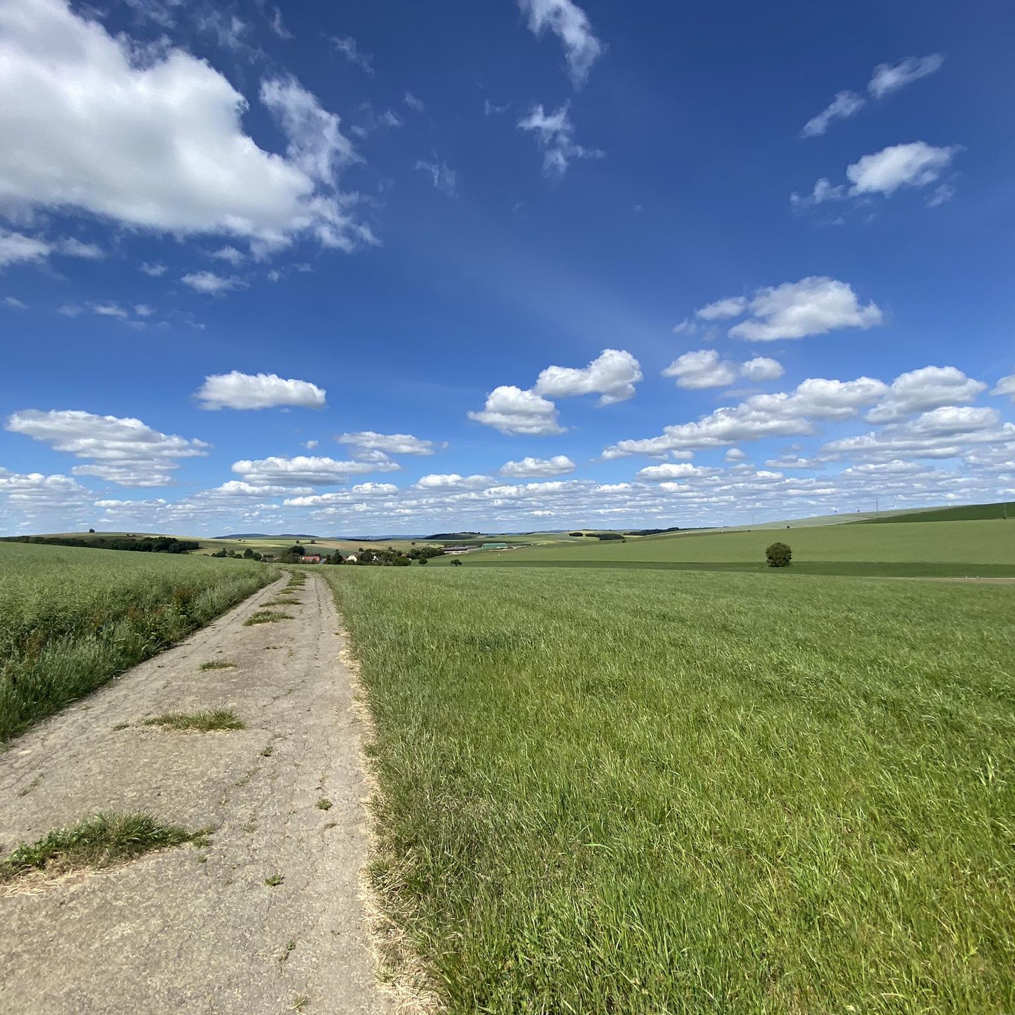
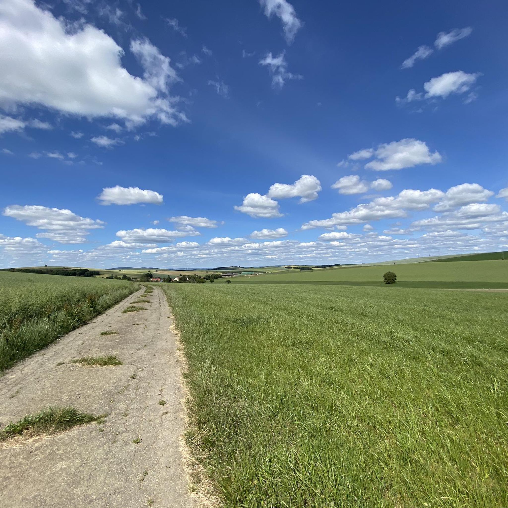
Dörrmoschel周辺のジョギングルートは、起伏のある丘、鬱蒼とした森林、広々とした野原といった特徴的な風景を巡り、ランナーに多様な地形を提供します。北プファルツ高原の一部であるこの地域は、穏やかな小道からより挑戦的な登り坂まで、様々な体験ができます。地形は様々なフィットネスレベルに対応しており、ゆったりとしたランニングからよりハードなトレーニングまで選択肢があります。ジョガーは、森の中やブドウ畑のそばを縫うように走るルートを探検でき、アルゼンツ谷の広大な景色をしばしば楽しむことができます。
Dörrmoschel周辺の最高のジョギングルート
- 最も人気のあるジョギングルートは、ロックンハウゼンからのミュールヴァルトヒュッテ周回コースで、4.7マイル(7.5 km)のトレイルで、所要時間は48分です。このルートは、森林地帯を抜ける適度な高低差が特徴です。
- 地元ランナーに人気のもう一つのコースは、ロックンハウゼンからのデゲンバッハ谷バーベキュー小屋周回コースで、適度な4.3マイル(7.0 km)の道です。このトレイルは、デゲンバッハ谷の景色の良い、変化に富んだ地形を提供します。
- 地元ランナーに愛されているのは、ロックンハウゼンからのランニング周回コースで、3.0マイル(4.9 km)のトレイルは、広々とした野原と緩やかな坂道を通っており、所要時間は約34分です。
- Dörrmoschel周辺のジョギングは、起伏のある丘、鬱蒼とした森林、広々とした野原によって特徴づけられます。このネットワークは、簡単なものから中程度、難しいものまで、様々なレベルのランニングルートを提供しています。
- Dörrmoschelのルートは、komootコミュニティから高く評価されており、30件以上のレビューで平均4.4つ星を獲得しています。628人以上のランナーがkomootを使用して、Dörrmoschelの多様な地形を探検しました。
最終更新日: 8月 28, 2026
5.0
(1)
9
ランナー
6.97km
00:48
200m
190m
中程度のジョギング. ある程度のフィットネスレベルが必要です。 全般的に舗装された状態です。あらゆるスキルレベルに適しています。
7
ランナー
4.89km
00:34
90m
90m
初級者向けランニング. あらゆるフィットネスレベルに適しています。 全般的に舗装された状態です。あらゆるスキルレベルに適しています。

無料新規登録
6
ランナー
8.55km
00:57
170m
170m
中程度のジョギング. ある程度のフィットネスレベルが必要です。 全般的に舗装された状態です。あらゆるスキルレベルに適しています。
5.0
(6)
7
ランナー
6.54km
00:45
170m
170m
中程度のジョギング. ある程度のフィットネスレベルが必要です。 全般的に舗装された状態です。あらゆるスキルレベルに適しています。
1.0
(1)
6
ランナー
4.85km
00:33
120m
120m
中程度のジョギング. ある程度のフィットネスレベルが必要です。 全般的に舗装された状態です。あらゆるスキルレベルに適しています。
さらに多くのルートや他のユーザーのおすすめ情報を確認できます。
無料新規登録
すでにアカウントをお持ちですか?
おすすめのツアーは他のkomootユーザーが実際に経験した何千ものアクティビティに基づいています。
無料アカウントで今日から始めよう
次の冒険が待っています。
ログインまたは登録
コミュニティからのヒント

Good connection and directly on the hiking trail and not far from the old town
0
0


An old Jewish cemetery is located in the area of the Ringstrasse - between the Ringstrasse and the city wall (plots 306, 305). The cemetery was established in the 18th century and expanded in 1842. No gravestones have survived. The cemetery plot can be recognized by the chestnut trees. A new Jewish cemetery was established in 1908/1912 and used until 1939 (plot no. 865/2). The cemetery area covers 5.60 acres (according to other information 6.28 acres).
1
0
Very large barbecue hut with plenty of space and two brick barbecue areas.
2
0
The obelisk commemorates the fallen of the so-called French Wars
1
0
The Rhineland-Palatinate South Local Rail Transport Association awards the "Hiking Station" label to stations and stops where hikers' needs are given special consideration. This includes good connections between the stop and attractive hiking trails, an information board for hikers directly at the stop and the marking of the train stop in the municipality's media (brochures and internet). The "Hiking Station" label thus awards train stops that are ideally suited as starting points for hiking tours. In the Donnersberg district, these are Alsenz, Eisenberg and Rockenhausen. You can reach the Rockenhausen hiking station from Bingen or Kaiserslautern by regional train. From the Rockenhausen hiking station, five well-signposted circular hiking trails open up the adventure region around Rockenhausen to hikers. Three more circular hiking trails will follow by early summer 2018. Their length varies between 11.5 km and around 22 km. There is something for everyone.
2
0
A Foucault pendulum is a spatial pendulum with a large pendulum length and mass, with the help of which the rotation of the earth can be proven without astronomical observations in the sky. Wikipedia
2
0
デルルモシェルでのの人気観光スポット

komootモバイルアプリでインスピレーションを得よう


さらに探索
他の地域の最高のランニングトレイル & ルートを見てみましょう。
