モールバッハのおすすめランニングルート
4.3
(16)
191
ランナー
33
ランニング
モールバッハでランニングを楽しめば、このエリアをより深く知ることができます。ランニングに適した美しいルートが見つかるように、komootがモールバッハでのルートのコレクション全体を評価して選び抜いた、人気ランニングトレイルをご紹介します。ルートをクリックして詳細を表示し、他のユーザーがアップロードした役立つ情報や写真を閲覧しましょう。
最終更新日: 8月 26, 2026
5.0
(1)
18
ランナー
7.71km
00:50
90m
90m
中程度のジョギング. ある程度のフィットネスレベルが必要です。 全般的に舗装された状態です。あらゆるスキルレベルに適しています。
5.0
(1)
15
ランナー
4.88km
00:32
60m
70m
初級者向けランニング. あらゆるフィットネスレベルに適しています。 全般的に舗装された状態です。あらゆるスキルレベルに適しています。

無料新規登録
10
ランナー
7.62km
00:54
100m
100m
中程度のジョギング. ある程度のフィットネスレベルが必要です。 全般的に舗装された状態です。あらゆるスキルレベルに適しています。
5.0
(1)
9
ランナー
11.4km
01:20
230m
240m
中程度のジョギング. ある程度のフィットネスレベルが必要です。 全般的に進みやすいルートです。一部で、安定して歩行できる技術が必要です。
7
ランナー
12.5km
01:22
190m
190m
中程度のジョギング. ある程度のフィットネスレベルが必要です。 全般的に舗装された状態です。あらゆるスキルレベルに適しています。
さらに多くのルートや他のユーザーのおすすめ情報を確認できます。
無料新規登録
すでにアカウントをお持ちですか?
おすすめのツアーは他のkomootユーザーが実際に経験した何千ものアクティビティに基づいています。
無料アカウントで今日から始めよう
次の冒険が待っています。
ログインまたは登録
モールバッハ周辺で人気

ドイツのザール=フンスルッククライムでハイキングをして、文化と自然が出会う場所に行きましょう
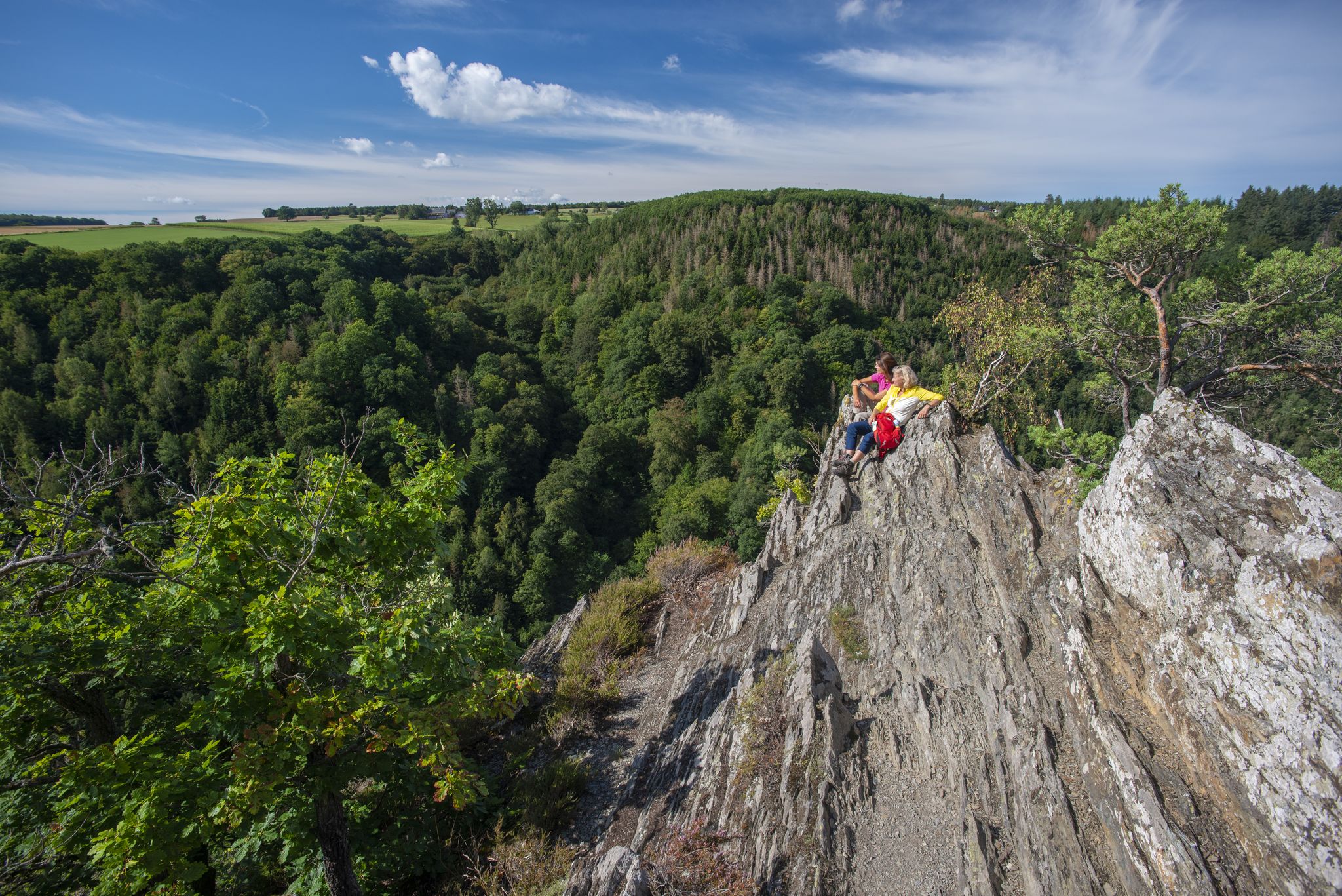
Dream Loops with great views in the Hunsrück
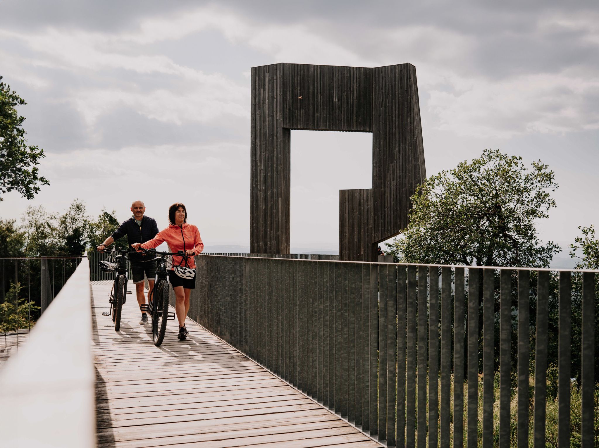
景色の良いサイクリング – フンスリュック・サイクリングルートを巡る
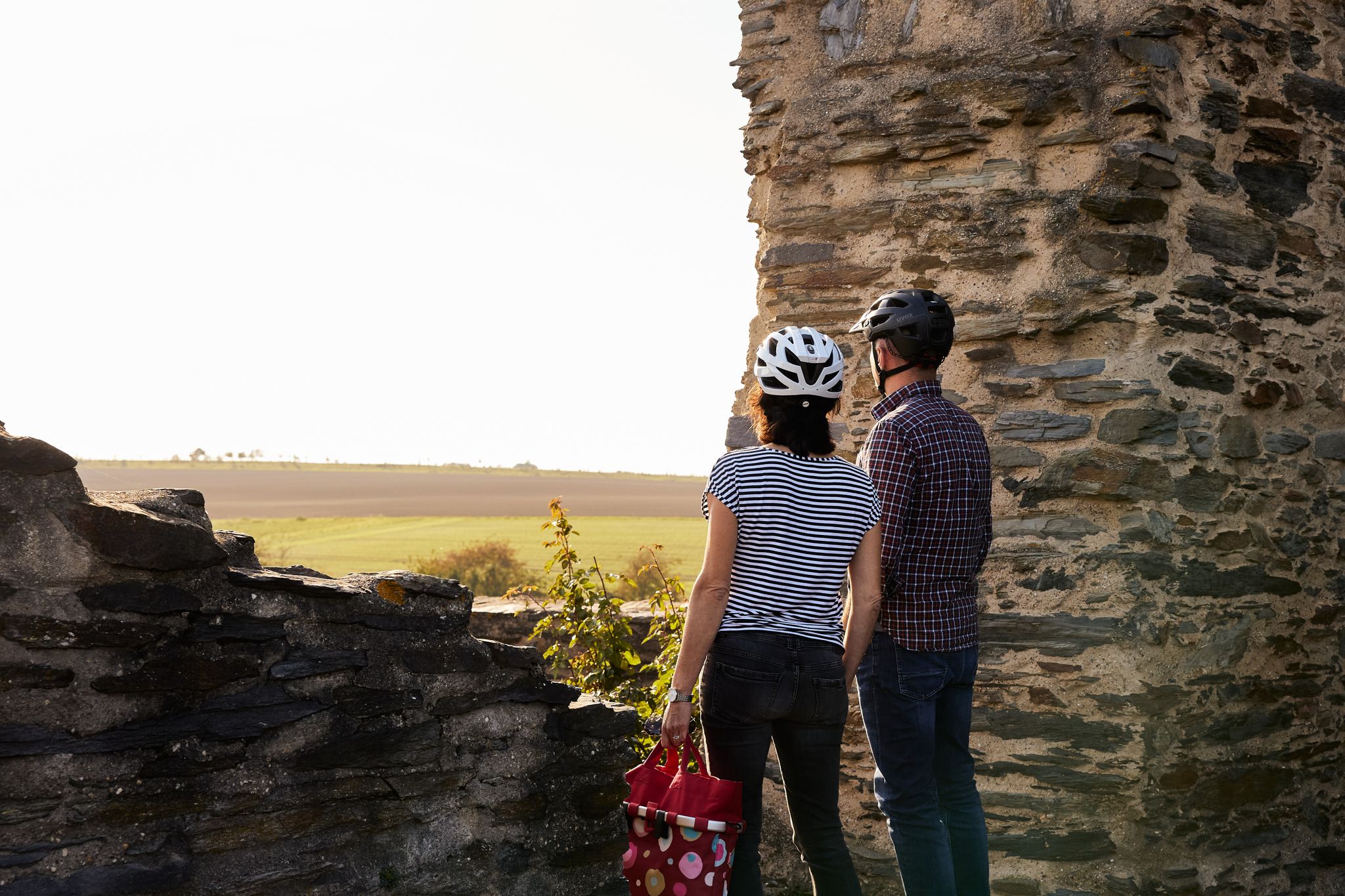
Historic cycling — Tours to castles and ruins in Germany
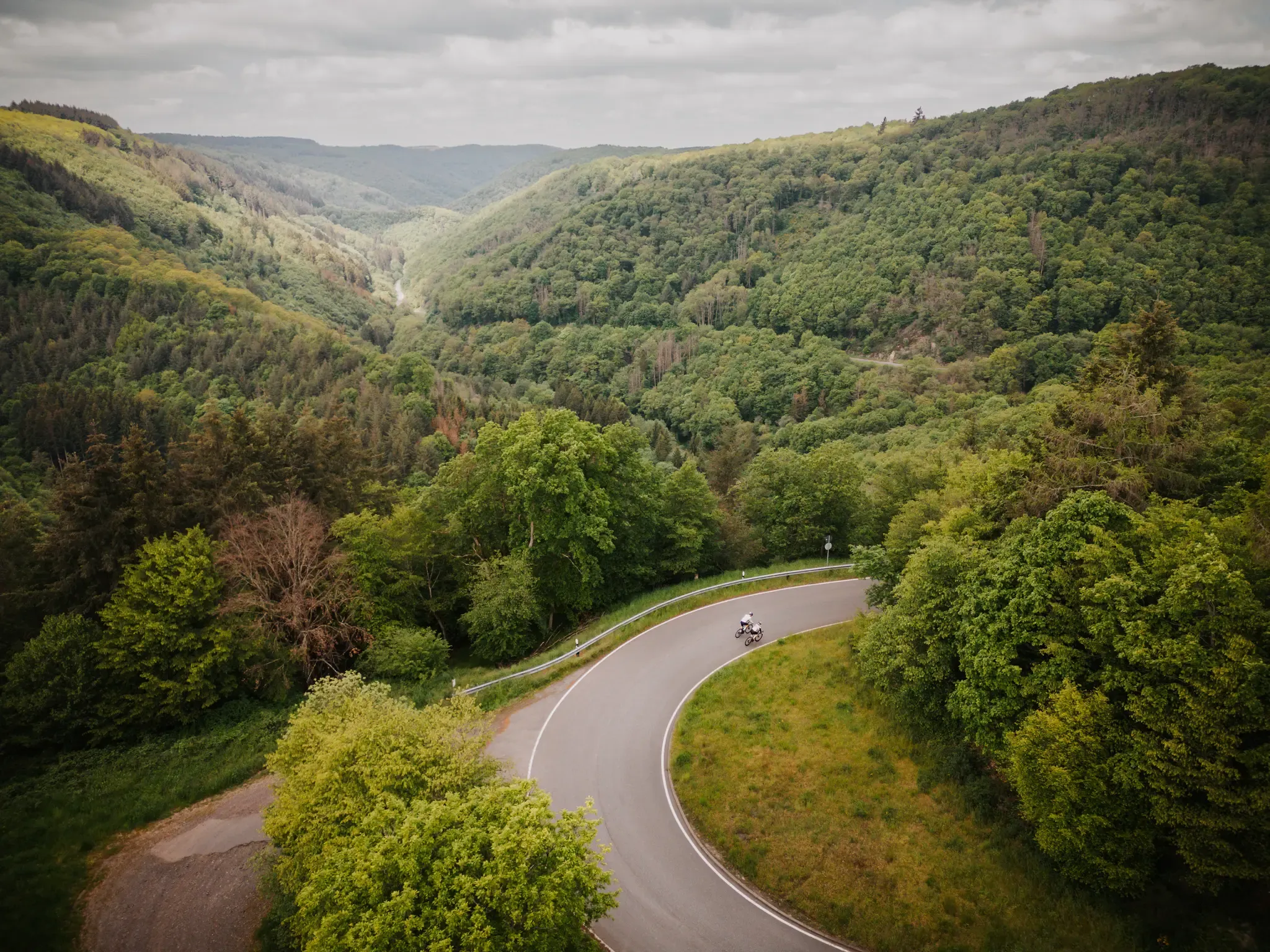
Make your road cycling dreams come true in the Hunsrück-Nahe region
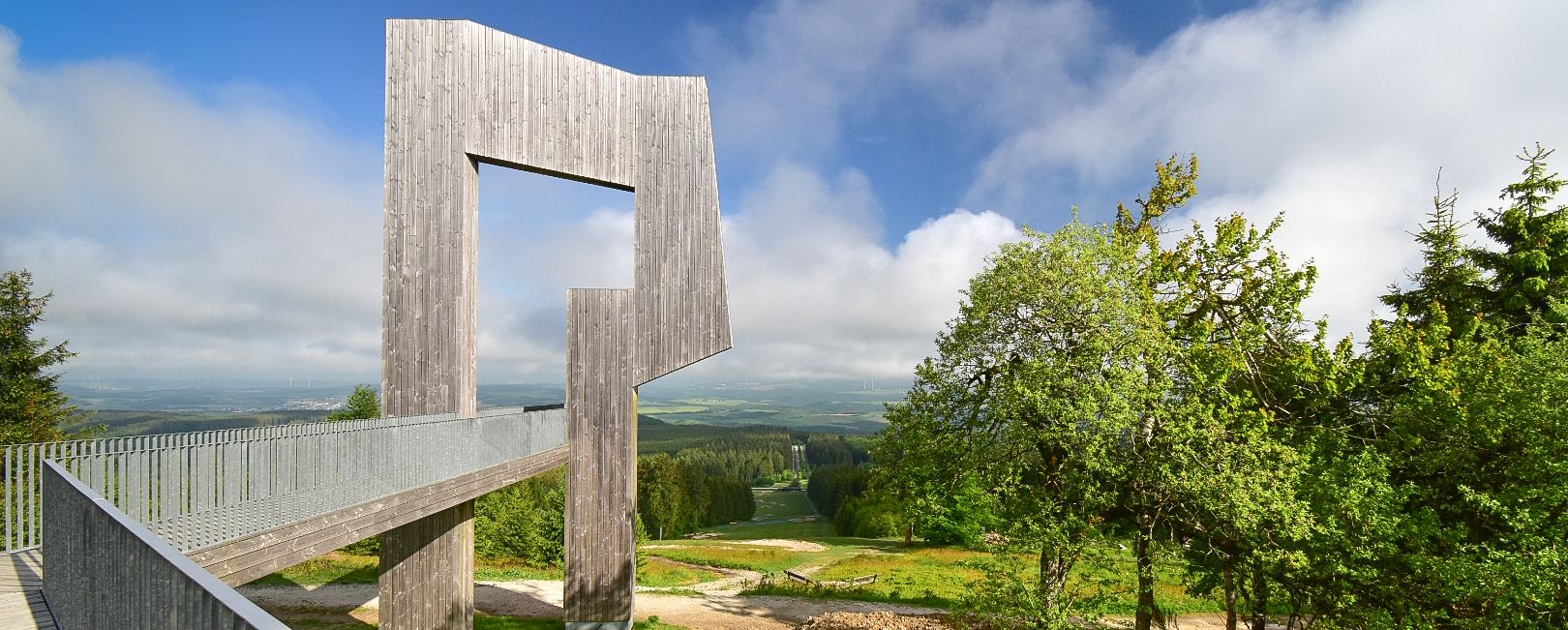
ラインランド=パラチナート州の山の上で-ハンスルック自転車コース
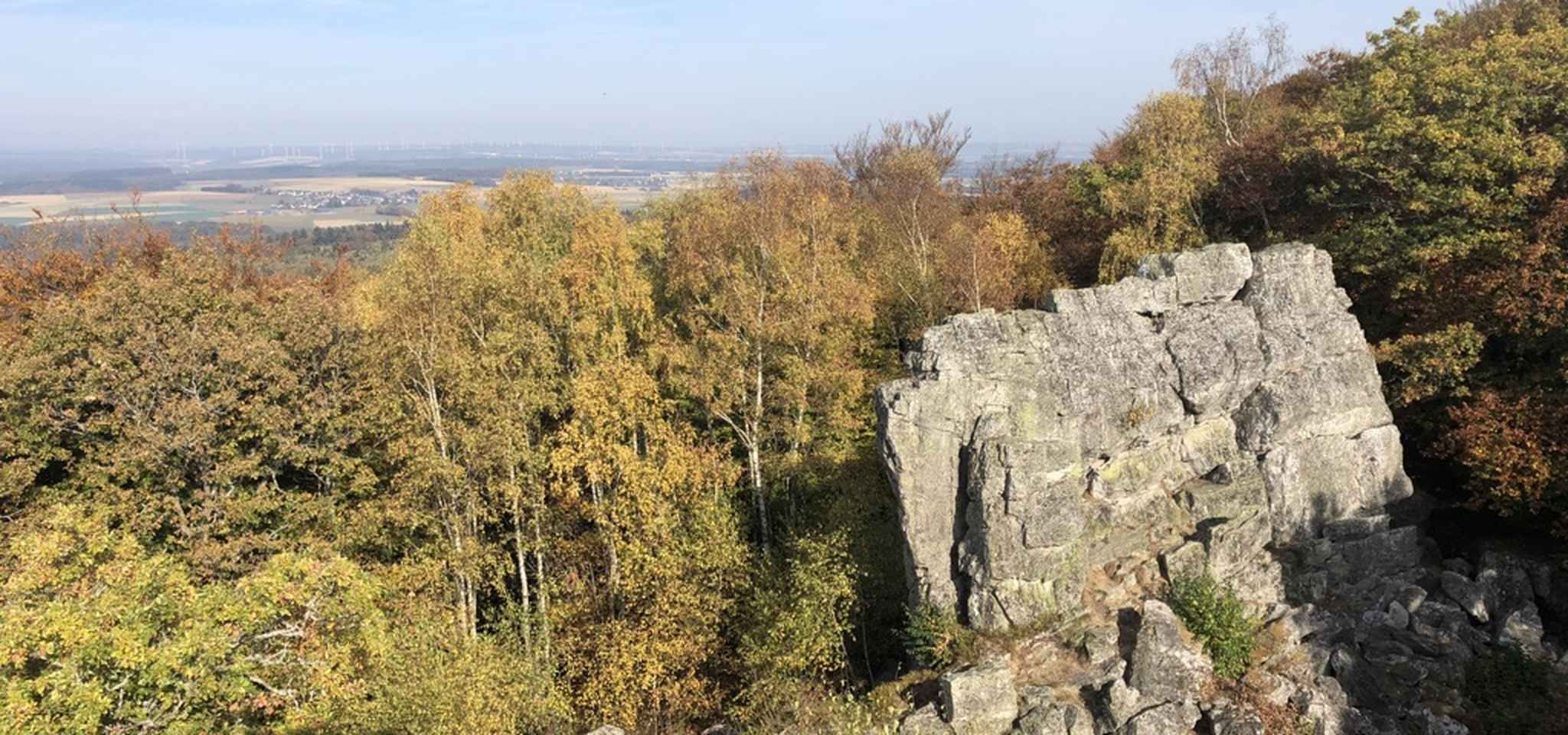
トレイルと自然 - ドイツのフンスルックのバイクパッキング
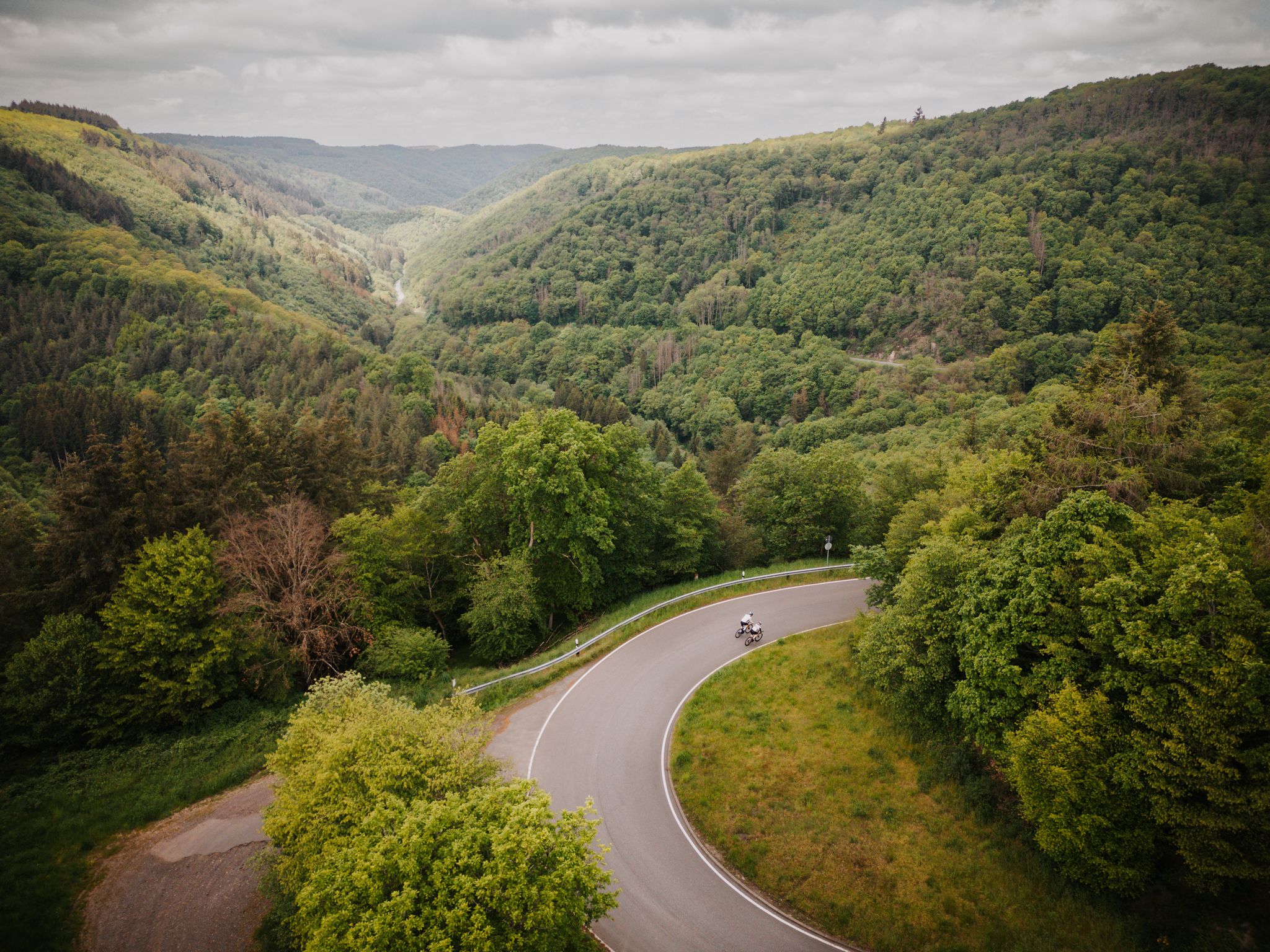
Roadbiken im Herzen der Bike-Region Hunsrück-Nahe
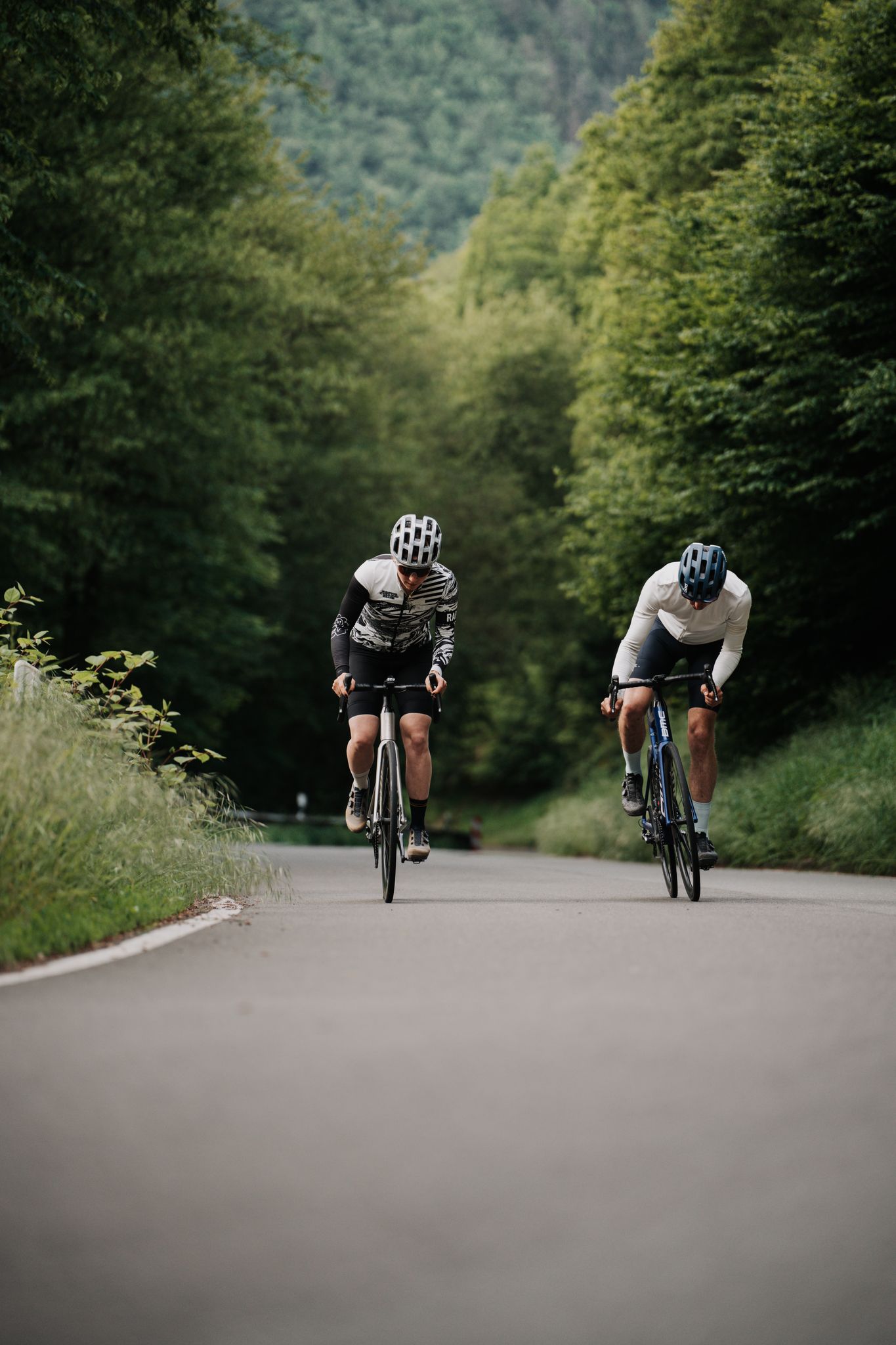
1000 Höhenmeter und mehr - Bergetappen zwischen Hunsrück und Nahe
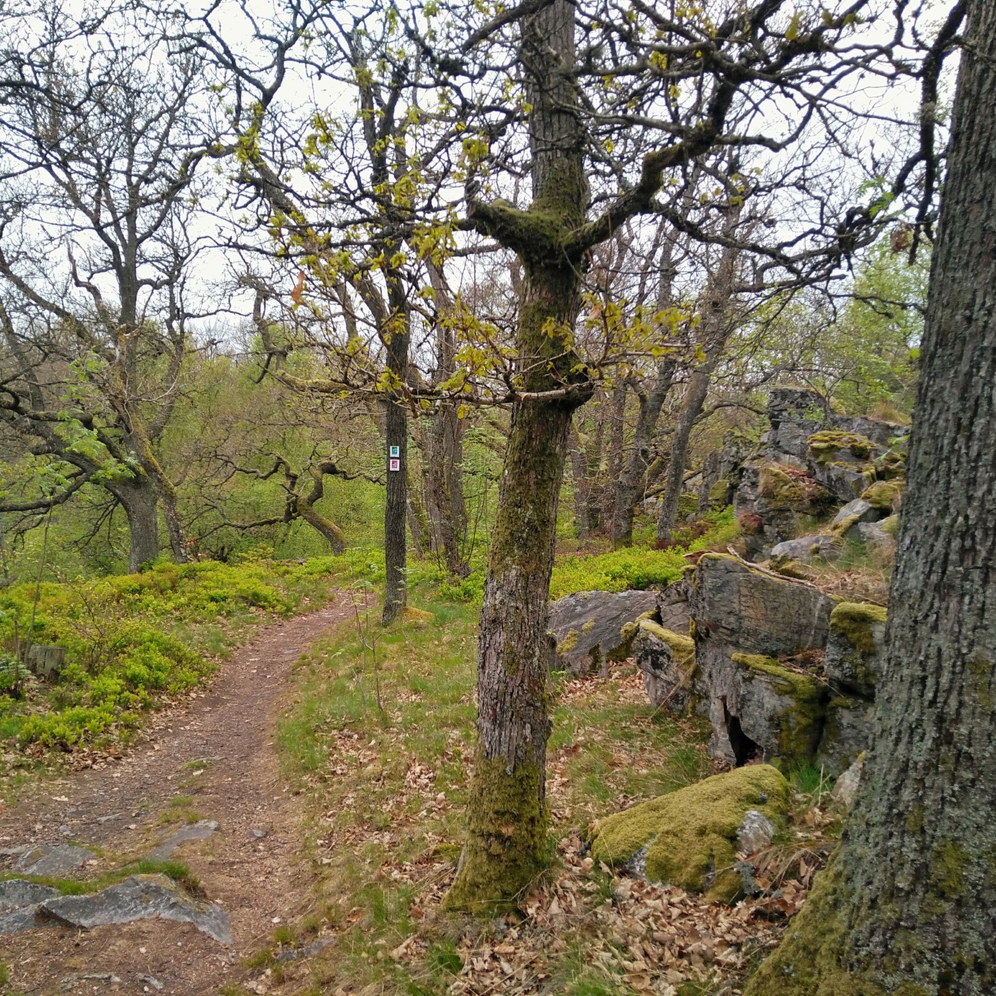
モールバッハでのハイキング
モールバッハでのの他の冒険


コミュニティからのヒント


The historic oil mill in Morbach-Schmausemühle is part of a listed mill complex (since 1982) and was restored after its purchase by the municipality in 1997 – including a reconstructed waterwheel based on plans from 1923. It is also the starting point of the "Oil Mill Tour" dream trail.
3
0


Along with agriculture and livestock farming, the mills were not only one of the main sources of income in the Dhron Valley, but also the primary breadwinners of the population. They also shaped the upper Dhron Valley, as the use of hydropower was essential in pre-technological times. The "Heckenmühle" (Hedge Mill) here in the Waldbach Valley was already recorded on maps at the beginning of the 19th century. Since the miller families also farmed, the Waldbach stream ran through an open meadow valley at that time. For a long time, the mill was operated by a Hinzerath milling community. After World War II, the mill was abandoned. The bricks were gradually reused.
0
0
How long this cross has stood on the so-called "Totenweg" (Path of the Dead) and for what reason it was erected cannot be determined today. This section of the trail on the Dream Loop LandZeitTour is still commonly known as the "Totenweg" (Path of the Dead). For many centuries, until around 1835, the deceased from Hinzerath were buried in Bischofsdhron at the parish church because Hinzerath belonged to the local parish. The coffins were transported to Bischofsdhron by teams of cows or horses along this path, along fields or burial grounds. It was a long and arduous journey in those days, and incidents could certainly occur. One possible explanation for the location of the cross is that an accident occurred here during the transport of a body. Another story says that there was a fatal industrial accident in the nearby small quarry (about 100 meters to the west). But perhaps the cross was erected as a memorial on the so-called "Totenweg" (Path of the Dead) long ago.
0
0
How long this cross has stood on the so-called "Totenweg" (Path of the Dead) and for what reason it was erected cannot be determined today. This section of the trail on the Dream Loop LandZeitTour is still commonly referred to as the "Totenweg" (Path of the Dead). For many centuries, until around 1835, the deceased from Hinzerath were buried in Bischofsdhron at the parish church because Hinzerath belonged to the local parish. The coffins were transported to Bischofsdhron by teams of cows or horses along this path, either on farm roads or along the "Totenweg" (Path of the Dead). It was a long and arduous journey in those days, and incidents could certainly occur. One possible explanation for the location of the cross is that an accident occurred here during the transport of a body. Another story says that there was a fatal industrial accident in the nearby small quarry (about 100 meters to the west). But perhaps the cross was erected as a memorial on the so-called "Totenweg" (Path of the Dead) long ago.
0
0


Unfortunately only open by appointment.
0
0

komootモバイルアプリでインスピレーションを得よう


さらに探索
他の地域の最高のランニングトレイル & ルートを見てみましょう。
