ブロモウラのおすすめウォーキング&ハイキングルート
4.5
(465)
1,786
ハイカー
18
ハイキング
ブロモウラ周辺でのハイキングは、景色を満喫するのに最適な手段のひとつですが、適切なハイキングルートを見つけることは簡単ではありません。 ブロモウラ周辺の人気ハイキング&ウォーキングコースを参考にすれば、行きたいルートをすぐに見つけられます。
最終更新日: 10月 25, 2026
4.7
(7)
24
ハイカー
9.28km
02:34
170m
130m
中程度のハイキング. ある程度のフィットネスレベルが必要です。 歩きやすい道です。
15
ハイカー
17.0km
04:38
260m
230m
中程度のハイキング. ある程度のフィットネスレベルが必要です。 歩きやすい道です。

さらに多くのルートや他のユーザーのおすすめ情報を確認できます。
すでにアカウントをお持ちですか?
おすすめのツアーは他のkomootユーザーが実際に経験した何千ものアクティビティに基づいています。
無料アカウントで今日から始めよう
次の冒険が待っています。
コミュニティからのヒント

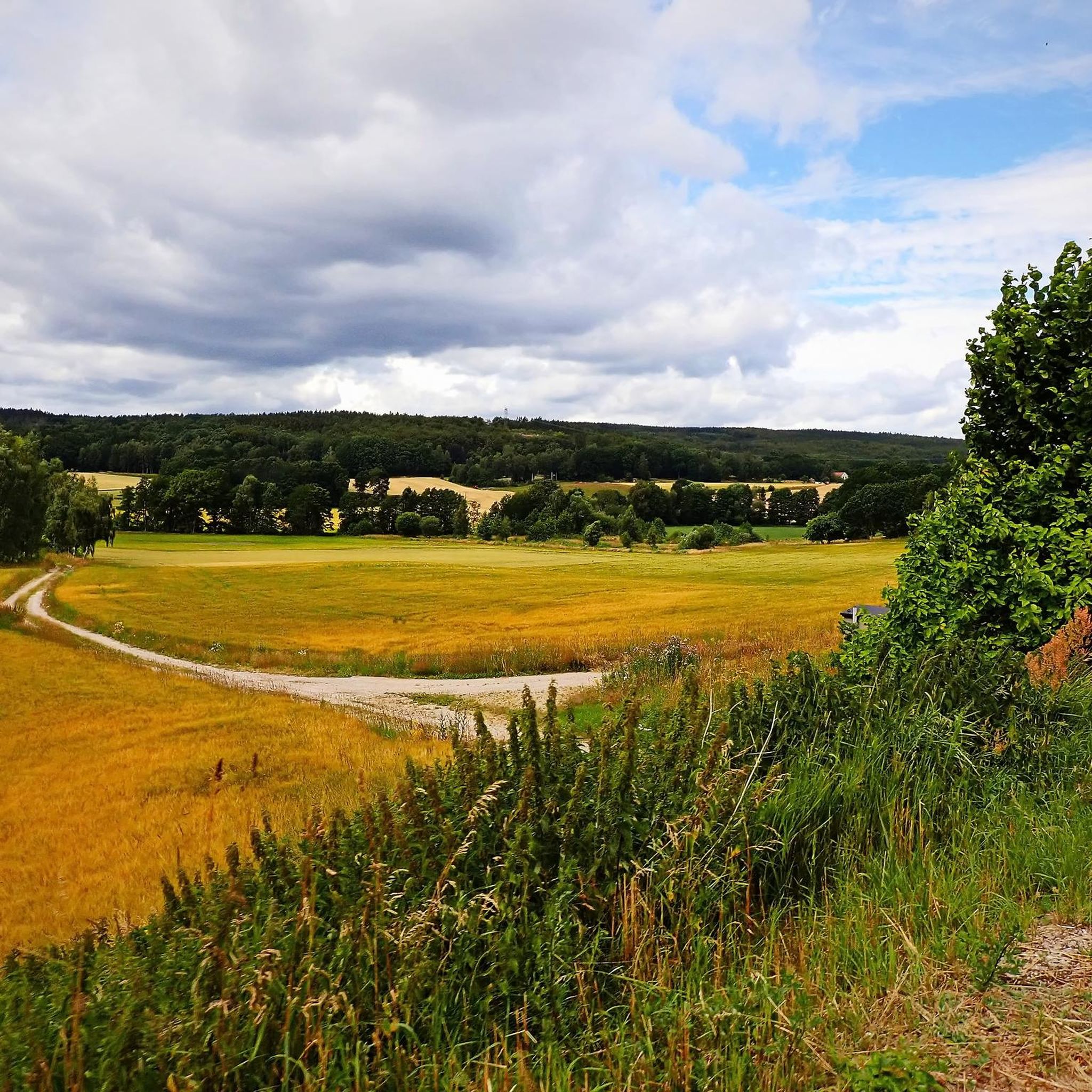
鮮やかな緑の木々が生い茂る緑豊かな木陰を蛇行するこの舗装された小道は、ハイカーに森を抜ける景色の良いアクセスしやすいルートを提供します。この静かな小道を旅すると、より賑やかな幹線道路とは一線を画す、平和で日陰のある森の環境に迎えられます。
0
0

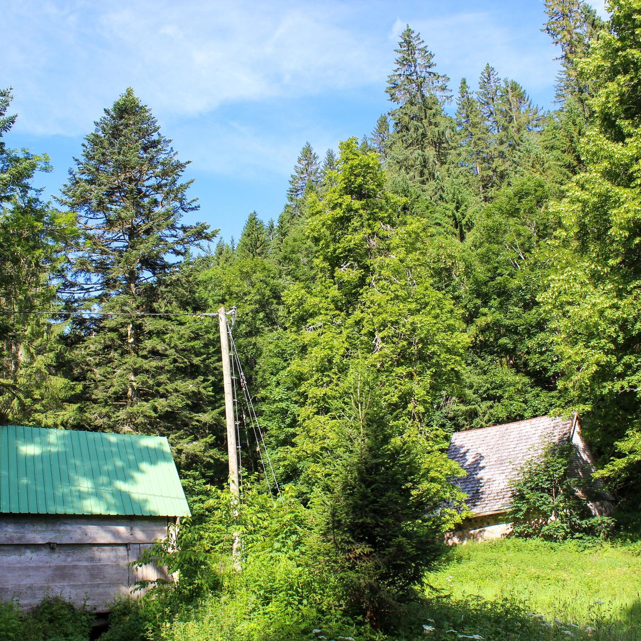
Ljungryda Shelter is a simple forest windshelter with a fire ring, flat tent spots and easy access from the nearby trail as well as to a fast flowing river – a practical, quiet overnight option along the Skåneleden.
1
0

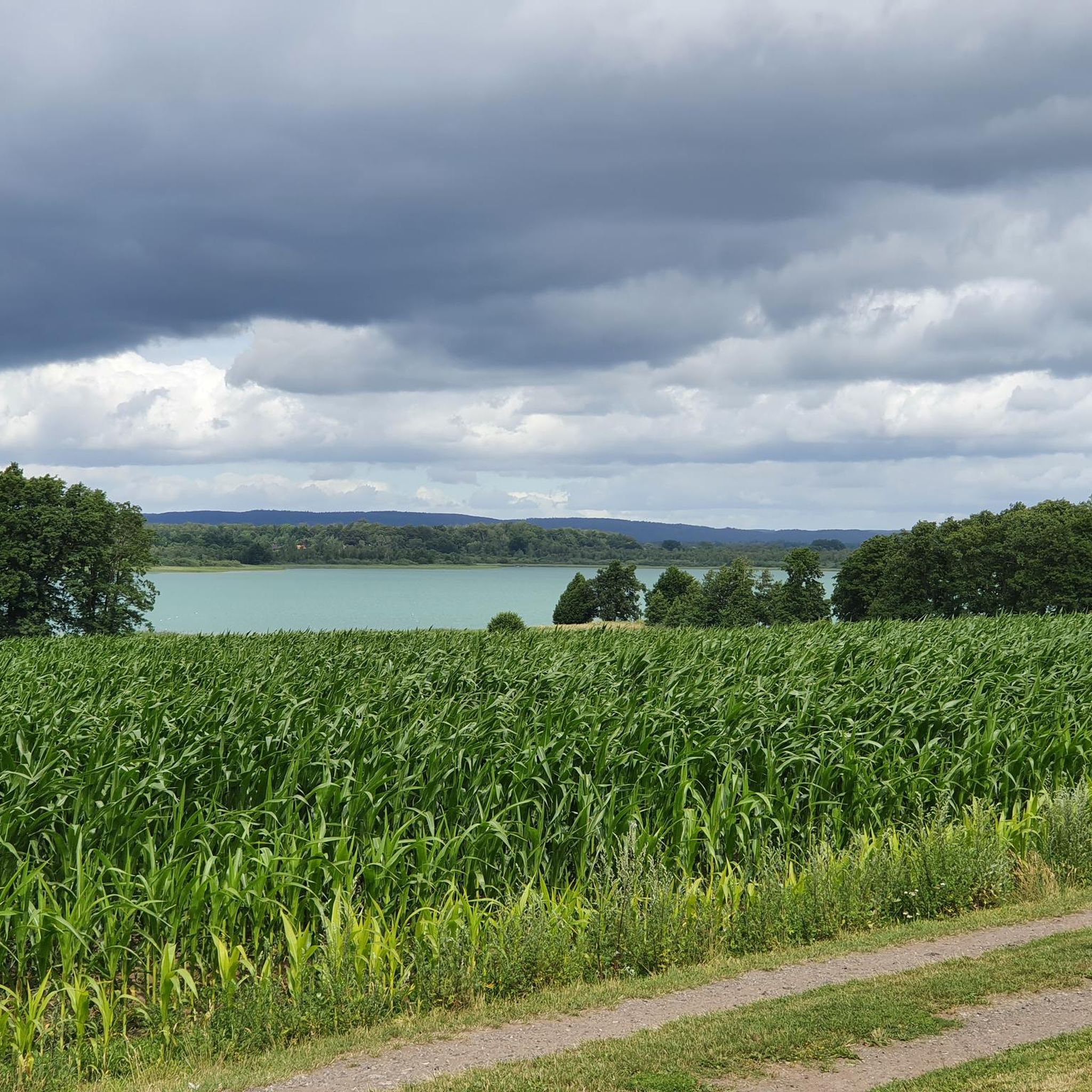
Just a few minutes from Olofström lies Halen, the largest lake in Blekinge. And honestly, Halen isn't a lake you'd just pass by. It's the largest in all of Blekinge, covering over 3 square kilometers, and it feels like every bay has a new story to tell. Part of the lake—and especially the wild surroundings—belongs to the Halen Nature Reserve, which stretches over a whopping 700 hectares. Or even more, depending on where you start—because the northern part was added later, bringing the total area to around 800 hectares of true natural adventure. What awaits you here? Forest, water, expanse. Pine trees on rocks, small islands in the shimmering lake, hidden shore spots where you can dangle your feet in the water. And right in the middle of it all: you. Whether paddling, hiking, or simply marveling.
0
0

150 m further on, over two gangways, is a water pump. The water must be boiled.
0
0
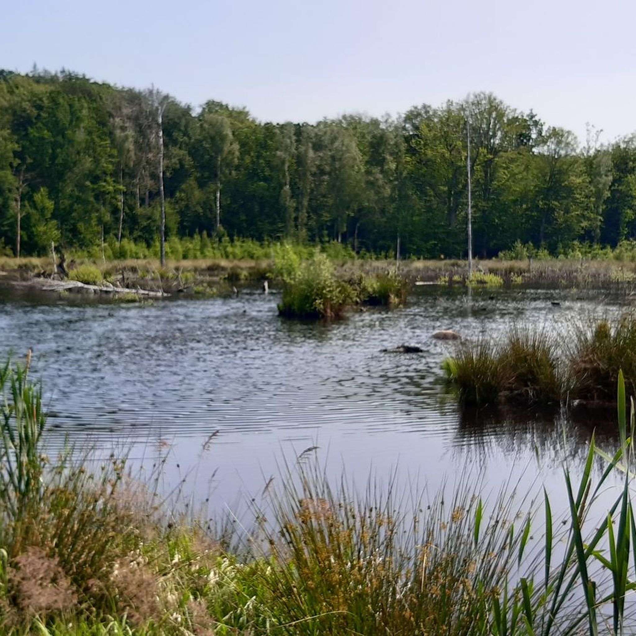
湖のところで道は右に曲がりますが、少し左側に回り込むと、木陰で湖を眺めながらゆっくり過ごすことができます。
0
0

Shelter is right by a small but fast flowing river. Can be noisy.
0
0


The sunset view from this point is worth to sit down. You have a perfect spot for camping here if lot of other campers isn't a problem.
0
0
ブロモウラでのの人気観光スポット

komootモバイルアプリでインスピレーションを得よう


さらに探索
他の地域の最高のハイキングを見てみましょう。
