オベンローのおすすめウォーキング&ハイキングルート
4.6
(1204)
5,132
ハイカー
334
ハイキング
オベンロー周辺でのハイキングは、景色を満喫するのに最適な手段のひとつですが、適切なハイキングルートを見つけることは簡単ではありません。 オベンロー周辺の人気ハイキング&ウォーキングコースを参考にすれば、行きたいルートをすぐに見つけられます。
最終更新日: 9月 8, 2026
4.4
(9)
55
ハイカー
9.10km
02:24
80m
80m
中程度のハイキング. ある程度のフィットネスレベルが必要です。 進みやすいルートです。あらゆるスキルレベルに適しています。
4.8
(11)
48
ハイカー
1.75km
00:26
0m
0m
初級者向けハイキング. あらゆるフィットネスレベルに適しています。 進みやすいルートです。あらゆるスキルレベルに適しています。

3.9
(9)
25
ハイカー
7.43km
02:00
90m
90m
初級者向けハイキング. あらゆるフィットネスレベルに適しています。 進みやすいルートです。あらゆるスキルレベルに適しています。
3.4
(5)
18
ハイカー
17.6km
04:28
50m
40m
中程度のハイキング. ある程度のフィットネスレベルが必要です。 進みやすいルートです。あらゆるスキルレベルに適しています。
4.2
(5)
19
ハイカー
12.6km
03:21
130m
130m
中程度のハイキング. ある程度のフィットネスレベルが必要です。 進みやすいルートです。あらゆるスキルレベルに適しています。
さらに多くのルートや他のユーザーのおすすめ情報を確認できます。
すでにアカウントをお持ちですか?
おすすめのツアーは他のkomootユーザーが実際に経験した何千ものアクティビティに基づいています。
無料アカウントで今日から始めよう
次の冒険が待っています。
オベンロー周辺で人気
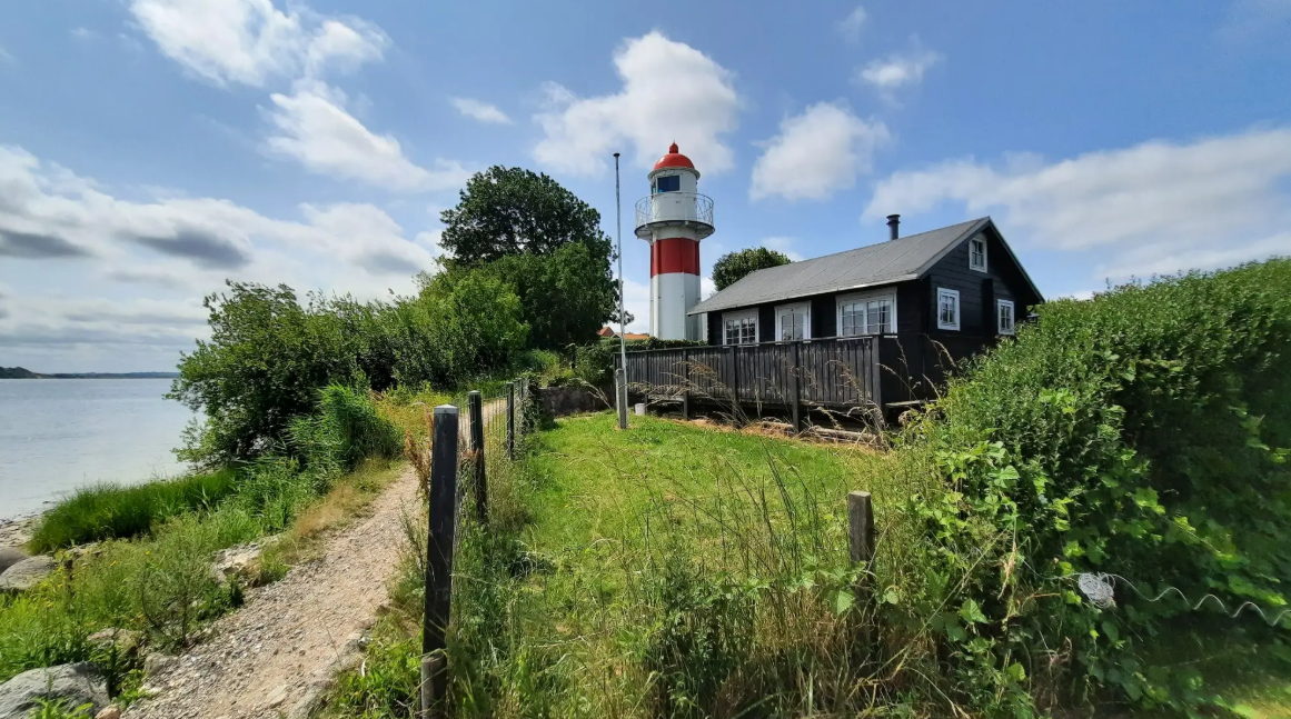
南ユトランド海岸線における歴史的な旅 — ジョンダルム・パス

European Divide Trail — 7,600 km across the continent
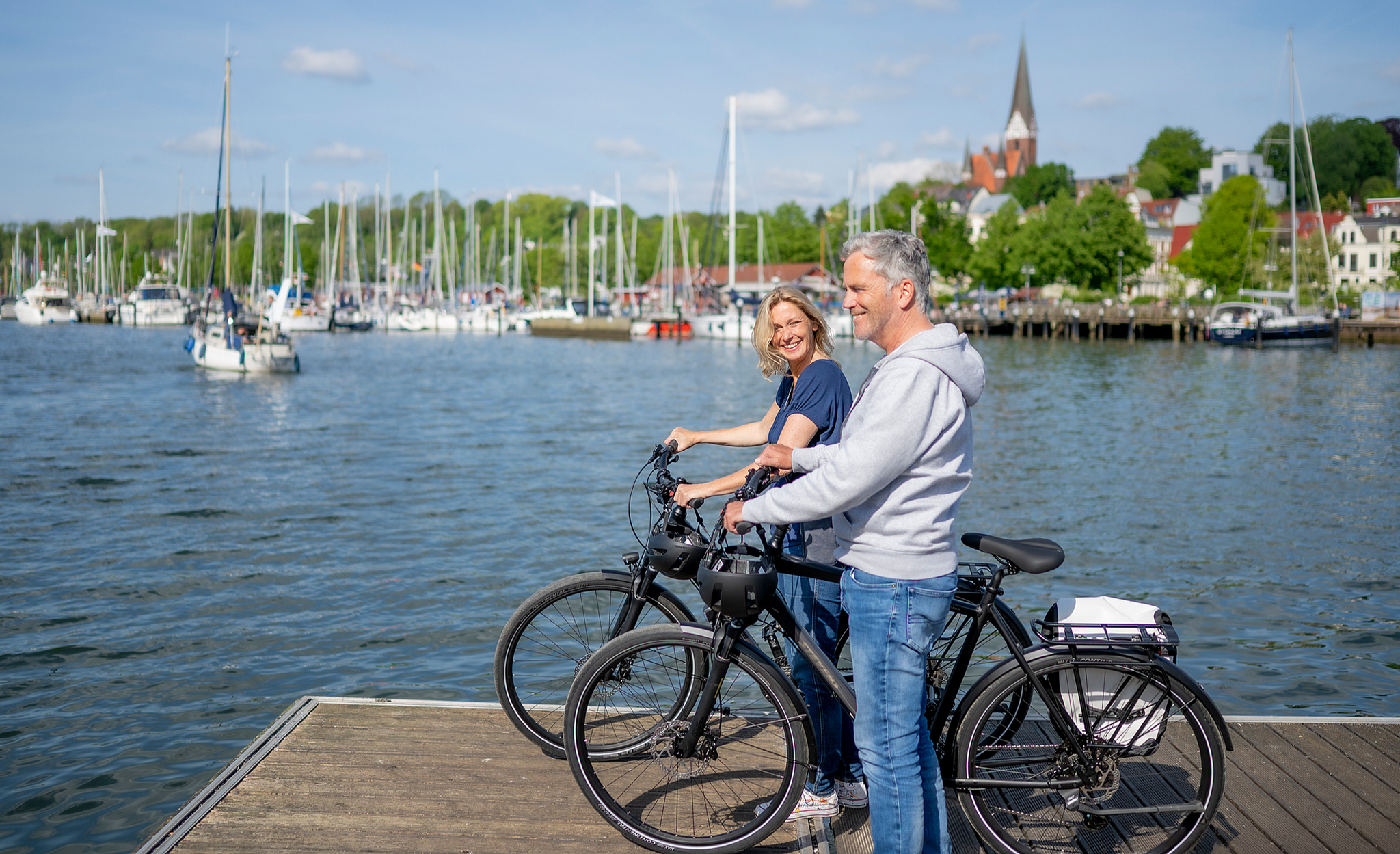
Erlebniskilometer in Schleswig-Holstein – Natur & Geschichte
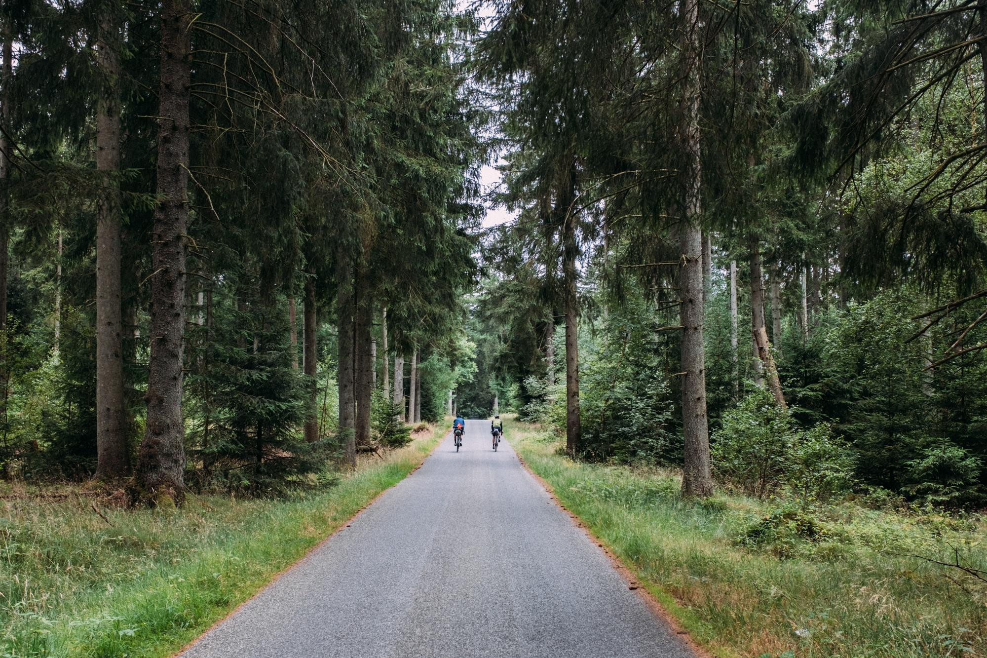
National Cycle Route 3: Pilgrims Route
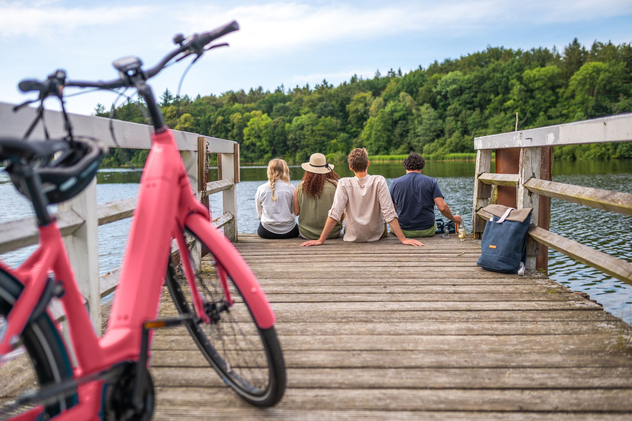
2,919 kilometres of adventure – cycling trails in Schleswig-Holstein
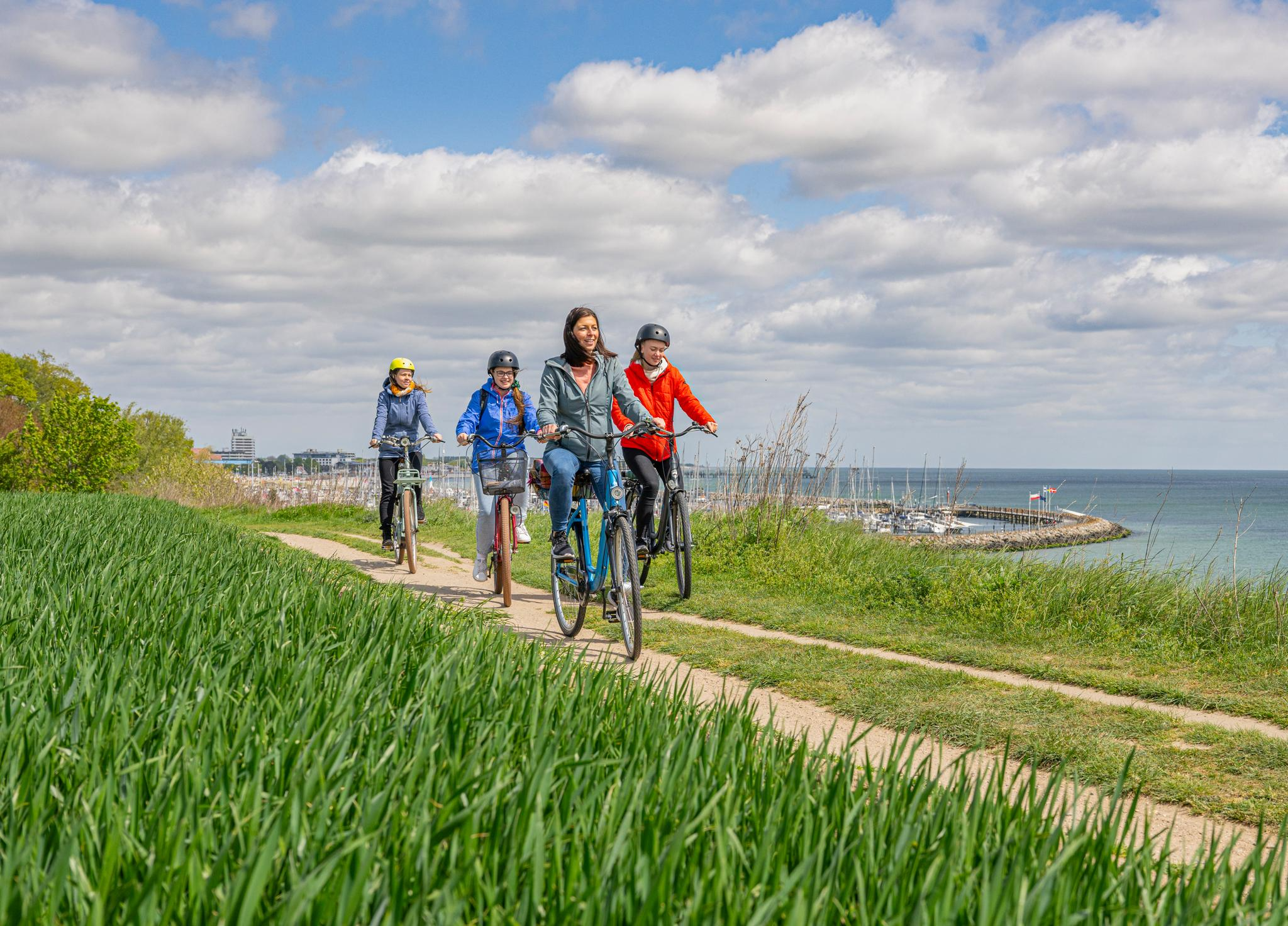
Baltic Sea Coast Cycle Route – Schleswig-Holsteinの最も人気のある長距離Cycle Route
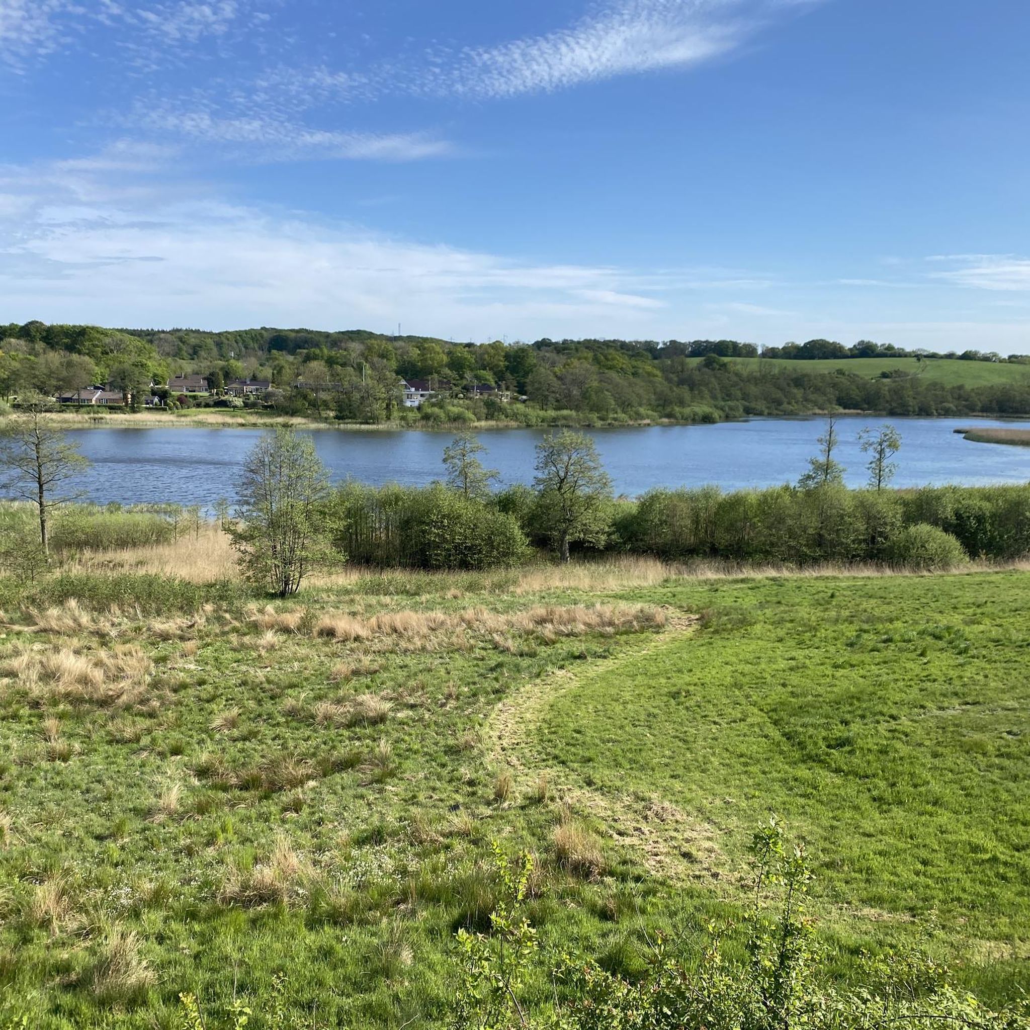
オベンローでのサイクリング
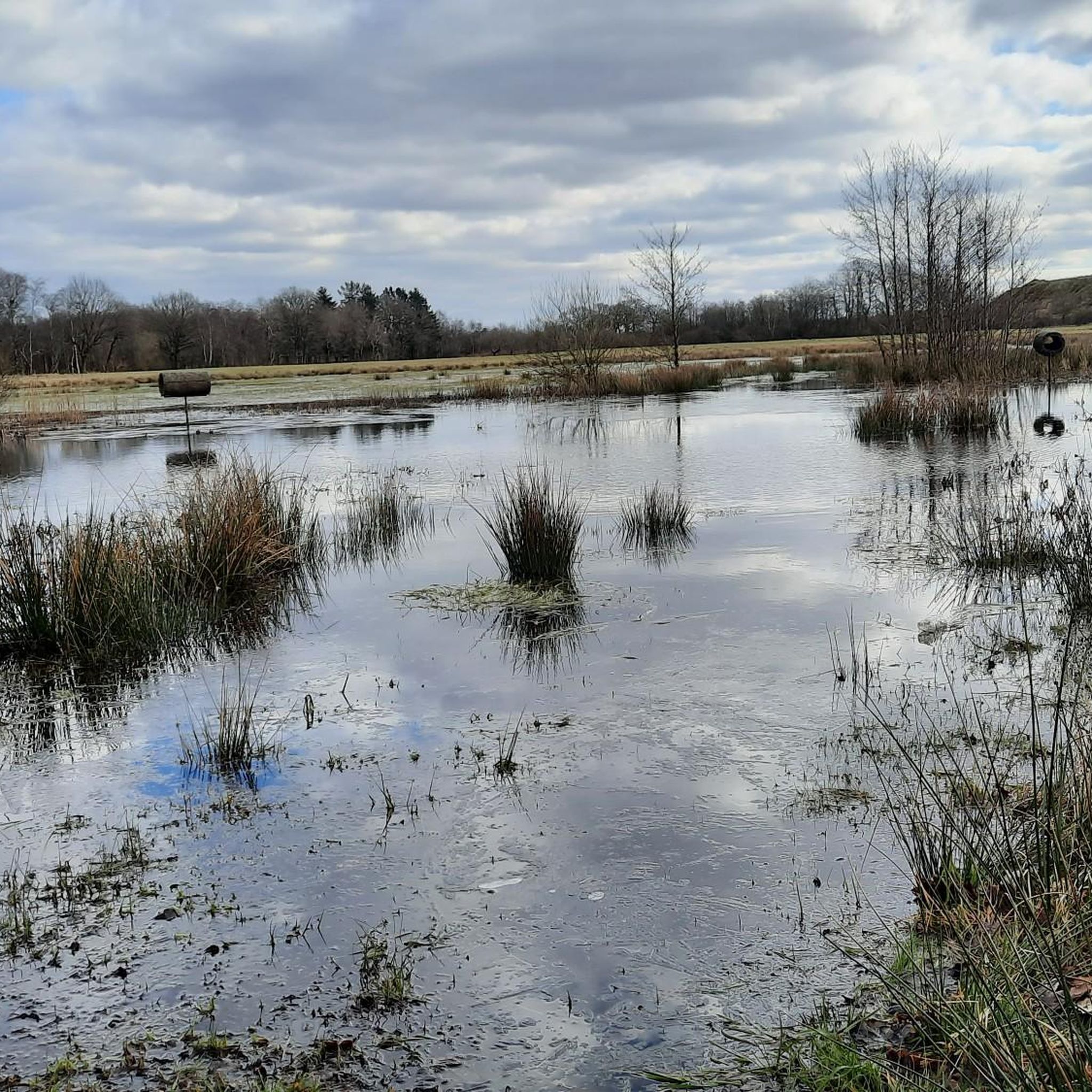
オベンローのMTBトレイル
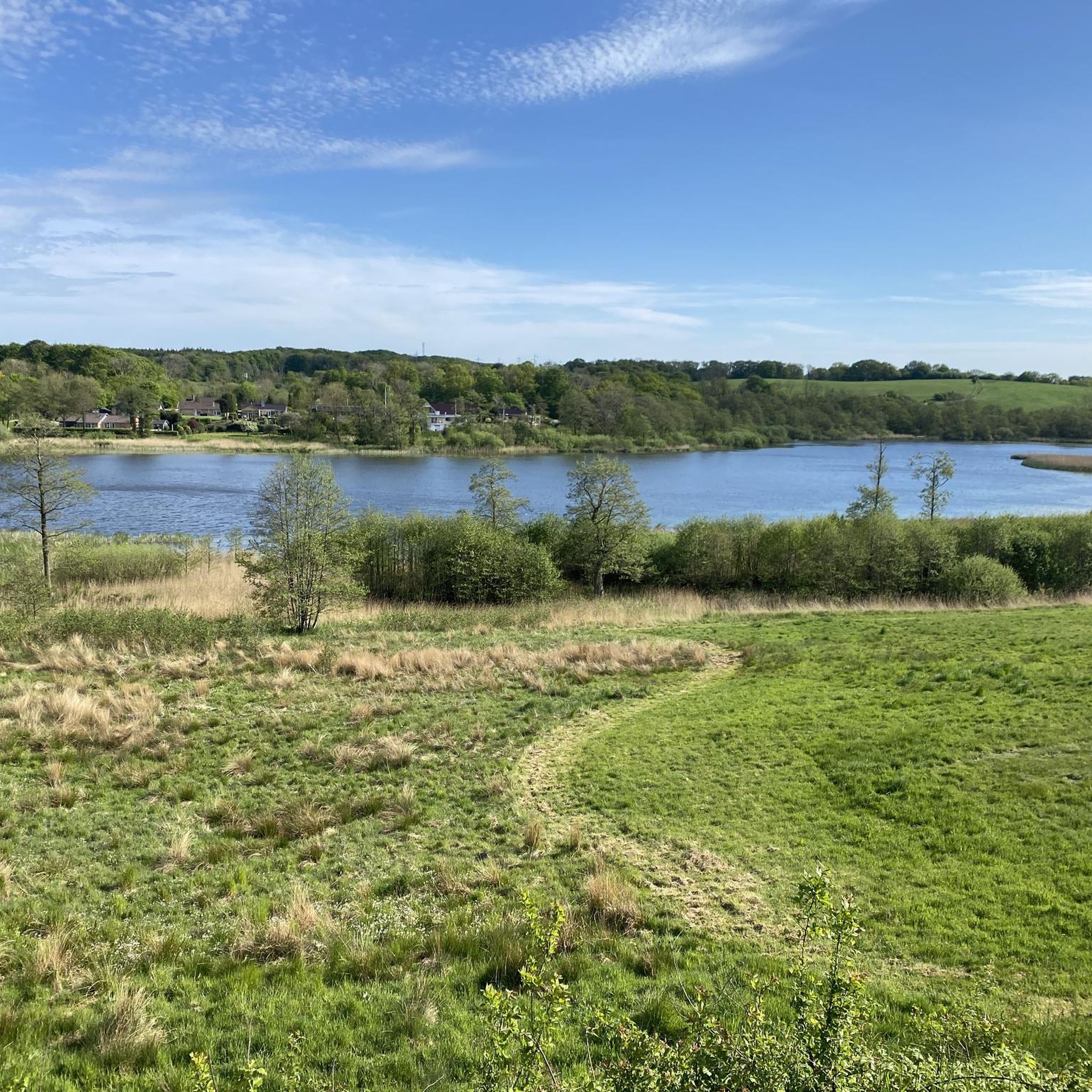
オベンローのランニングコース
オベンローのロードバイクルート
オベンローでのの他の冒険


コミュニティからのヒント

おそらく、HeerwegまたはOchsenwegで現存する最古の石橋です。1818年に落成しました。しかし、より古い記録によると、ここにははるかに古い渡り橋があったことが証明されています。
0
0

ここでマッツフス・フレンスブルク2026に立ち寄り、しばらく立ち止まりました。素晴らしい施設です!
1
0

It's currently on land, but even there it's absolutely worth seeing.
0
0

The outskirts of the bustling city center. Lovely little alleys to linger in
0
0

Here you'll find a lovely sunny resting spot right next to the Bommerlund Plantation. From here, you can easily start hiking or cycling tours.
0
0

The Gejlå Bro bridge takes its name from the small stream Gejl Å, which has been crossed on a horse or by foot since centuries before Christ. Apparently the first bridge around here was built between 750 and 1050.
0
0

Gejlå Bridge The bridge takes its name from the small stream Gejl Å (German: Gehlau or Geilau), which it spans in the village of the same name. The village and bridge are located today in the present-day municipality of Bov (German: Bau) in the municipality of Åbenrå (German: Kommune Apenrade).[1] History Edit As early as the Bronze Age (1800–500 BC), there was a stone-fortified ford over the Gejlå River, which was crossed on foot or by horse. The first bridge was built between 750 and 1050. The first written mention of the Gejlå Bridge dates from 1660 and refers to a wooden bridge built by the bailiff J. Møller from Flensburg. Due to its short lifespan, the stone ford soon had to be used again. In 1765, the first stone bridge was built from solid natural stone. The current bridge was built by Thomas Fries from Flensburg and inaugurated on August 21, 1818. His name is also immortalized in one of the railing stones. The total construction costs amounted to 3,030 marks, of which 530 marks were labor costs. Master builder Thomas Fries gave a ten-year "guarantee" on his construction. Some flat stones beneath the bridge are said to be the remains of the old ford.[2]
0
0

From the bridge you have a beautiful view of the surrounding area. Especially in the evening there is a tranquil play of colors here.
0
0
オベンローでのの人気観光スポット

komootモバイルアプリでインスピレーションを得よう


さらに探索
他の地域の最高のハイキングを見てみましょう。
