ボークルの天然記念物・トップ20
ボークルが誇る美しい風景を見てみたいなら、ボークルの素晴らしい天然記念物・トップ20
に行ってみましょう。あなたにぴったりの場所が見つかるよう、素晴らしい天然記念物を探索するために必要なすべての情報を集めました。次のアウトドアの冒険に出かける計画の参考にしましょう。
最終更新日: 8月 19, 2026
ベダーフセ・ベルゲンの砂丘
ハイライト • 自然
翻訳者 Google •
役立つ情報 は

スティッペルベルグ自然保護区
ハイライト • 森
翻訳者 Google •
役立つ情報 は

今すぐサインアップして、こんな場所を発見しよう
最高のシングルトラック、ピーク、その他のエキサイティングなアウトドアスポットのおすすめを受け取ろう。
無料新規登録
ザンドフェルストイフィング・ベダフ
ハイライト • 自然記念物
翻訳者 Google •
役立つ情報 は

ユーデン近くのピールランド断層
ハイライト (セグメント) • 自然記念物
翻訳者 Google •
役立つ情報 は

Wijstgronden Peelrandbreuk
ハイライト • 自然記念物
翻訳者 Google •
役立つ情報 は

無料でサインアップして、さらに多くの自然記念物を発見しましょう ボークルでの。
無料新規登録
すでにアカウントをお持ちですか?


コミュニティからのヒント

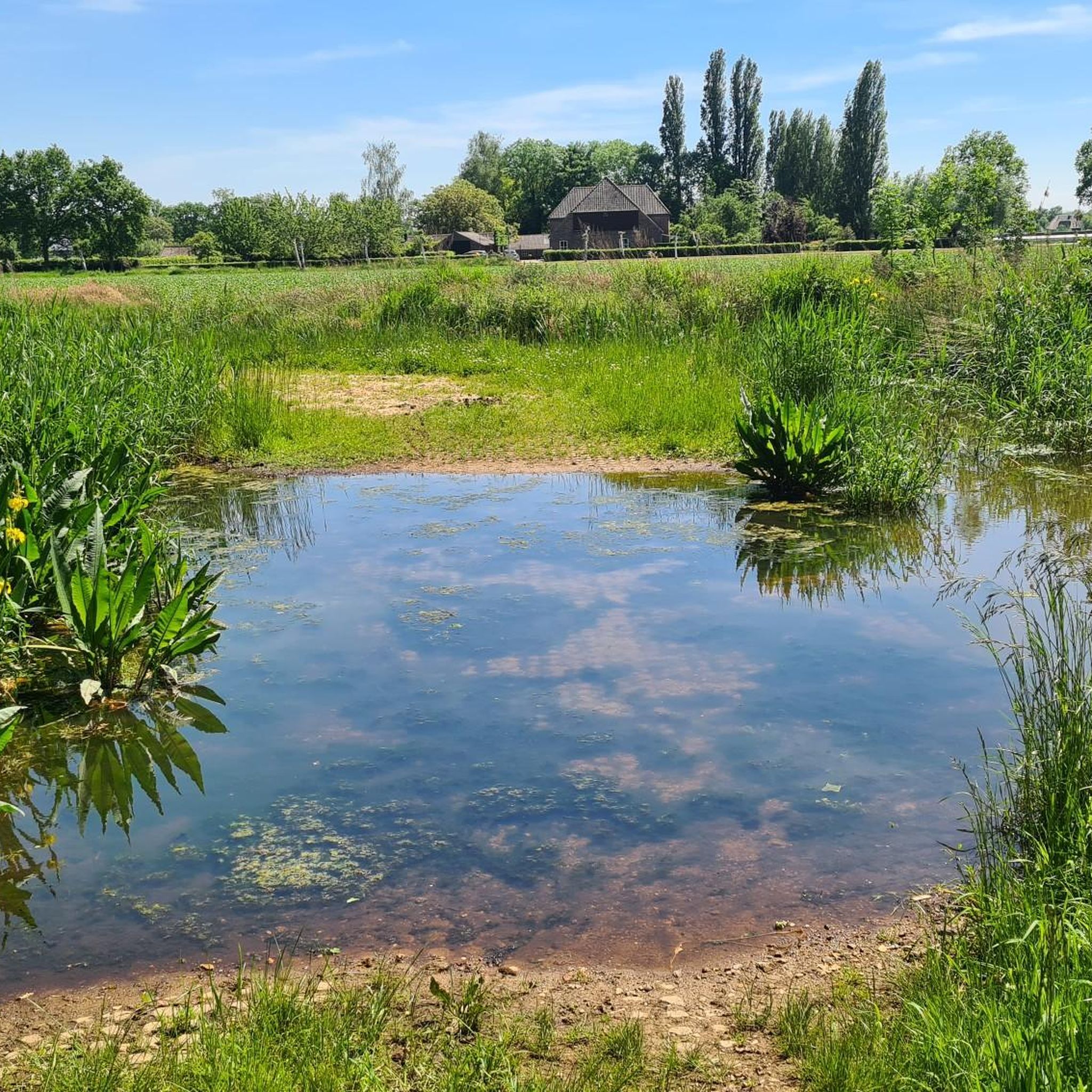
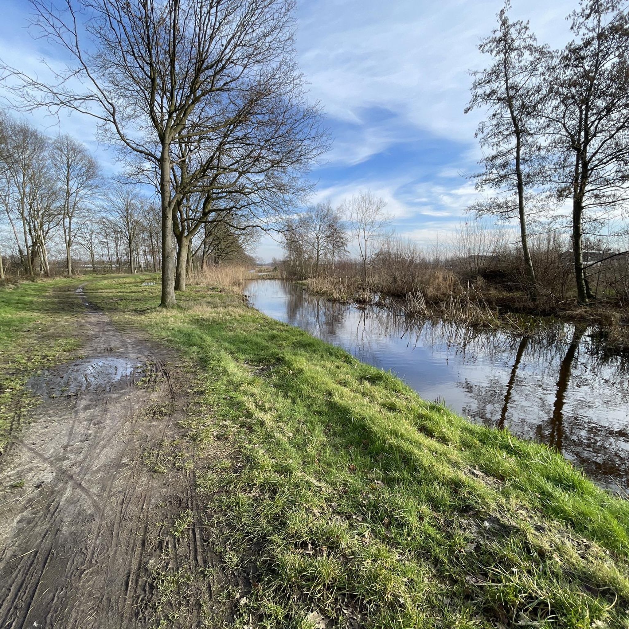
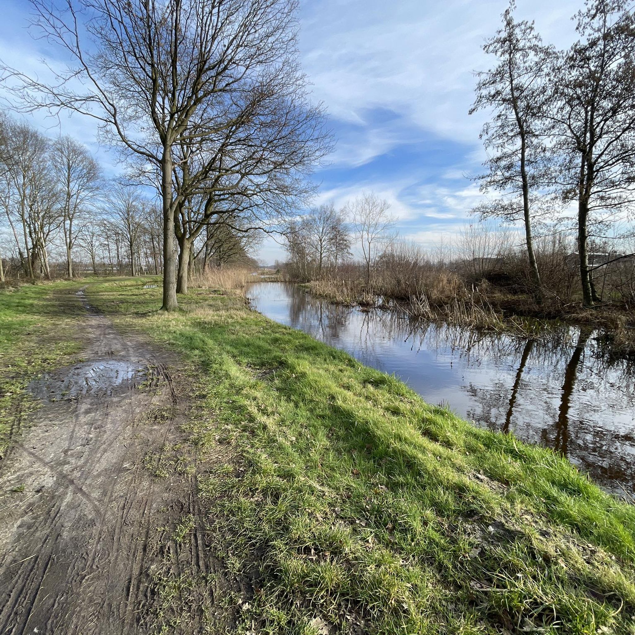
The Peelrand fault near Uden is one of the most recognizable fault zones in Brabant and cuts across the landscape between the Bedafse Bergen and the Annabos. This geological fault causes a height difference of several meters, but more importantly, a difference in water management that is immediately visible in the terrain. On the higher side of the fault, mineral-rich groundwater rises, making this higher part wetter than the lower-lying zone adjacent to it. This inverse pattern of wet and dry is both indicative and unique to this area. Along the fault line, you can see how the dry drifting sand of the Bedafse Zandduinen abruptly transitions into dark, moist soil where seepage water surfaces. The water often has a reddish-brown hue due to the iron carried from the deeper layers. This transition is clearly visible in the field: a few meters further, the landscape changes completely, from dry and light sand to wet, boggy terrain with alders, sedges, and other moisture-loving plants. The Peelrand fault near Uden is therefore a significant geological feature that shapes the entire area. Without it, the Bedafse Bergen wouldn't be so dry and drifting, and the Annabos wouldn't be so wet and seepage-prone. The fault makes this part of Uden one of the best places to see the "wisp" phenomenon in person, and it gives the hiking trail a scenic quality found in few other places.
0
0
The Bedafse Bergen form a striking drifting sand area between Uden and Vorstenbosch. The landscape was created by centuries of sand drift after the original forests were cleared for agriculture and firewood in the Middle Ages. The wind carried the loose sand and accumulated it into hills and sand ridges—the present-day sand dunes of the Bedafse Bergen. The area consists of open drifting sand, low and high sand hills, dry heathland, and small transitions to forest. The dunes have remained active because managers keep sections open, thus preserving the character of a true drifting sand area. The higher ridges offer clear views over the undulating sand landscape, which differs significantly from the typical Brabant forests and farmland. The Bedafse Bergen are one of the few remaining places in North Brabant where this type of landscape can still be seen so clearly: a rugged, dry, and dynamic terrain with natural elevation changes. This makes it both scenically unique and physically challenging, especially when you hike up and down the steep sandy slopes several times. Today, it's a protected nature reserve and a popular hiking area due to its unique dune landscape, open vistas, and stark contrast with the surrounding landscape.
0
0
The Bedafse Bergen form a striking drifting sand area between Uden and Vorstenbosch. The landscape was created by centuries of sand drift after the original forests were cleared for agriculture and firewood in the Middle Ages. The wind carried the loose sand and accumulated it into hills and sand ridges—the present-day sand dunes of the Bedafse Bergen. The area consists of open drifting sand, low and high sand hills, dry heathland, and small transitions to forest. The dunes have remained active because managers keep sections open, thus preserving the character of a true drifting sand area. The higher ridges offer clear views over the undulating sand landscape, which differs significantly from the typical Brabant forests and farmland. The Bedafse Bergen are one of the few remaining places in North Brabant where this type of landscape can still be seen so clearly: a rugged, dry, and dynamic terrain with natural elevation changes. This makes it both scenically unique and physically challenging, especially when you hike up and down the steep sandy slopes several times. Today, it's a protected nature reserve and a popular hiking area due to its unique dune landscape, open vistas, and stark contrast with the surrounding landscape.
2
0
I first read on the sign 'you see the beech', I looked for it but only understood it later... learned something new again.
1
0

Extra beautiful when the heather is in bloom.
2
0

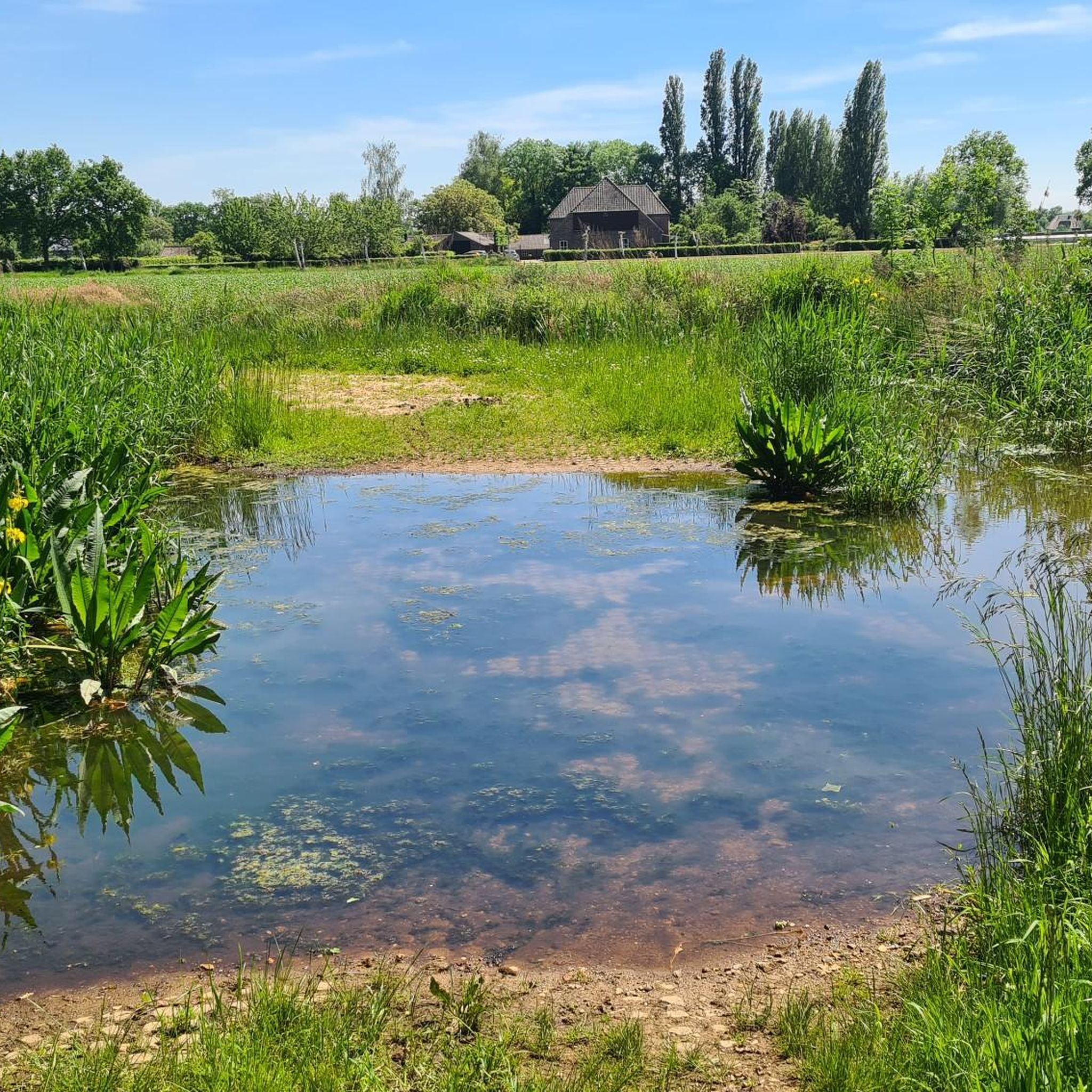
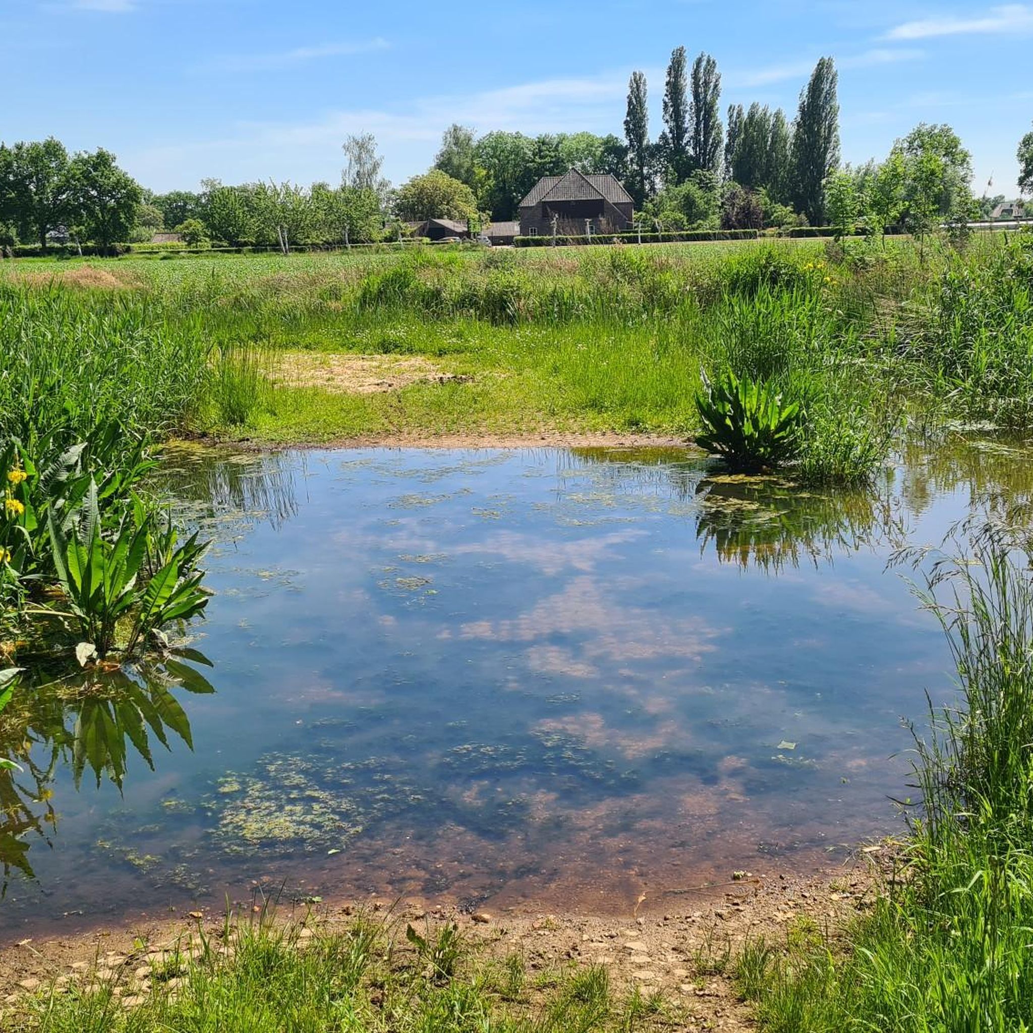
These high, marshy areas with iron-rich seepage water are called wijstgronden, a rare phenomenon that is nowhere in Europe as visible as near Uden. That is why the province of Noord-Brabant declared the special area “De Wijstgronden” in 2004 as the first geological monument in the province. At the moment there is even the ambition to have the entire area around the Peelrandbreuk recognized as Unesco Geopark Peelhorst.
0
0
The Peelrand fault is clearly visible in the landscape in several places. For example, in the Sint Annabos near Uden you can see a height difference or steep edge of almost 2 meters. It is also noticeable that the vegetation on the high part of the fault is different from that on the low side. This is because the soil on the high side is much wetter. Soil scientists would normally expect it to be the other way around, but due to the tectonic movement of the soil, the density of the soil around the fault plane is much greater and practically impermeable to water. As a result, the groundwater that flows from the higher Peelhorst towards the lower Roerdalslenk is forced to the surface at the Peelrand fault. This groundwater naturally contains a great deal of dissolved iron. As soon as the iron particles come into contact with oxygen, rusty deposits form on the soil. If this process is repeated in the same place over and over again, large, hardened iron concentrations can form: the iron ore banks.
1
0

The Stippelberg is a large nature reserve. Yet it is well hidden in the east of Brabant, near the village of De Rips. Walk in the eastern part of the Stippelberg over the beautiful lanes that belong to the country house. And admire the rhododendrons that brighten up the estate. A striking feature of the Stippelberg are the many hills in the middle of the forest. All these 'dots' are drifting dunes created by sand drifts. The Stippelberg owes its name to these hills. Due to afforestation for wood production, you can now find an extensive pine forest here. Take a walk in this forest over the dots in the landscape. A place that you really must have seen is d'n Blikken Emmer. This place is on top of the highest dot. But what exactly can you admire? At this spot you can see a bucket hanging on top of a pole. Now you might think, why a bucket? In the past, when forest workers were allowed to take a break, this bucket was hit. It was also a fire alarm. Source and more information: Natuurmonumenten
5
0
ボークルでのの人気観光スポット

komootモバイルアプリでインスピレーションを得よう


さらに探索
これらのガイドで、最高の洞窟を探す範囲を広げましょうボークルでの:
