オルデンザールのおすすめランニングルート
4.4
(69)
5,454
ランナー
251
ランニング
オルデンザールでランニングを楽しめば、このエリアをより深く知ることができます。ランニングに適した美しいルートが見つかるように、komootがオルデンザールでのルートのコレクション全体を評価して選び抜いた、人気ランニングトレイルをご紹介します。ルートをクリックして詳細を表示し、他のユーザーがアップロードした役立つ情報や写真を閲覧しましょう。
最終更新日: 11月 3, 2026
4.0
(2)
201
ランナー
10.7km
01:07
60m
60m
中程度のジョギング. ある程度のフィットネスレベルが必要です。 ほとんどが舗装路です。
99
ランナー
中程度のジョギング. ある程度のフィットネスレベルが必要です。 ほとんどが舗装路です。

112
ランナー
16.8km
01:46
40m
40m
難しいジョギング. 標準以上のフィットネスレベルが必要です。 ほとんどが舗装路です。
91
ランナー
中程度のジョギング. ある程度のフィットネスレベルが必要です。 ほとんどが舗装路です。
4.8
(4)
665
ランナー
22.0km
02:19
130m
130m
難しいジョギング. 標準以上のフィットネスレベルが必要です。 ほとんどが舗装路です。
さらに多くのルートや他のユーザーのおすすめ情報を確認できます。
すでにアカウントをお持ちですか?
おすすめのツアーは他のkomootユーザーが実際に経験した何千ものアクティビティに基づいています。





コミュニティからのヒント


詳細については、以下をご覧ください: https://mariakapeltankenberg.nl/
0
0

Funny school paintings in this bicycle tunnel.
0
0

Also a memorial for the fallen. (side of the Chapel)
1
0


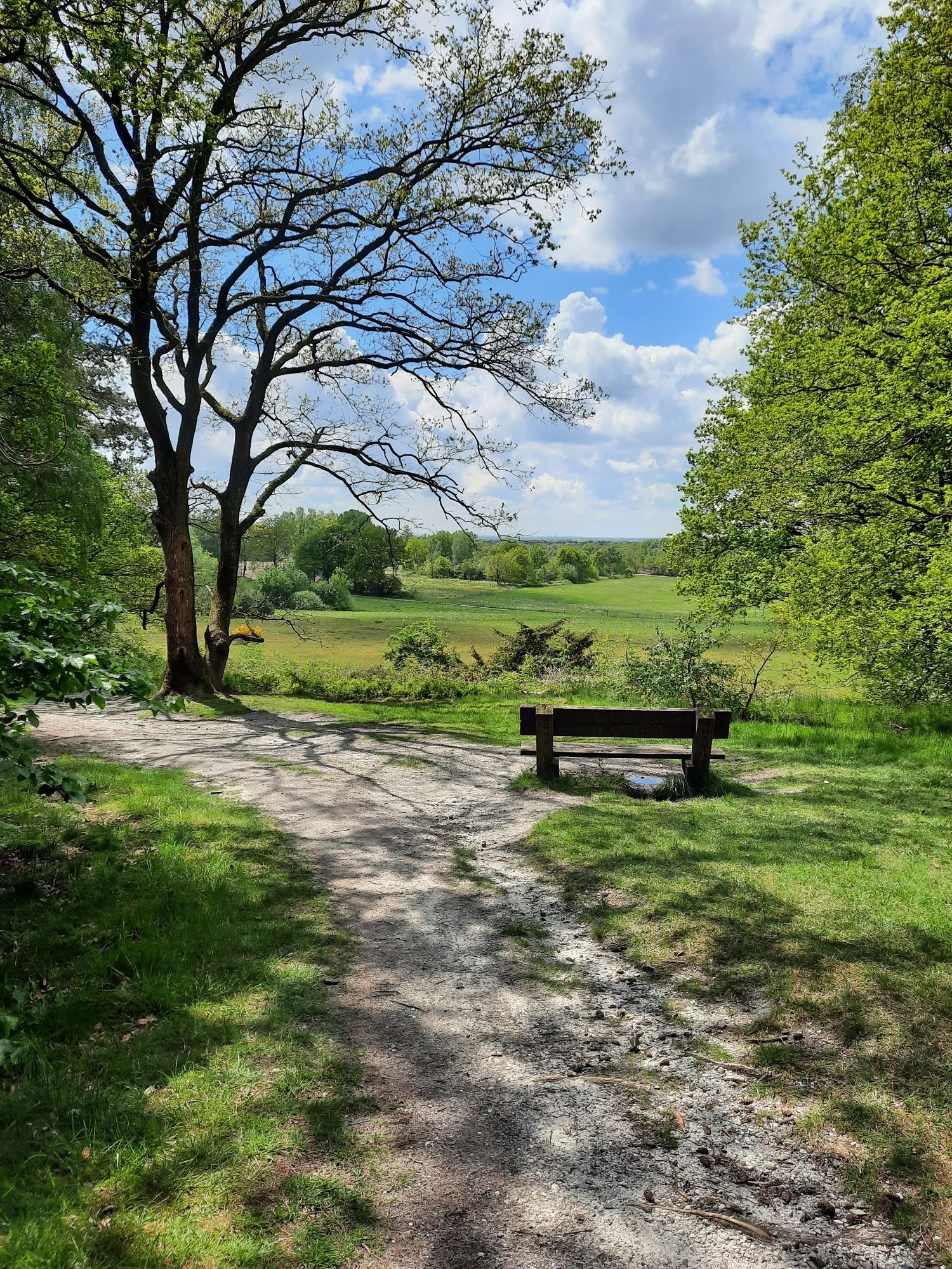
From this spot you can see the castle of Bad Bentheim in Germany in the distance
0
0
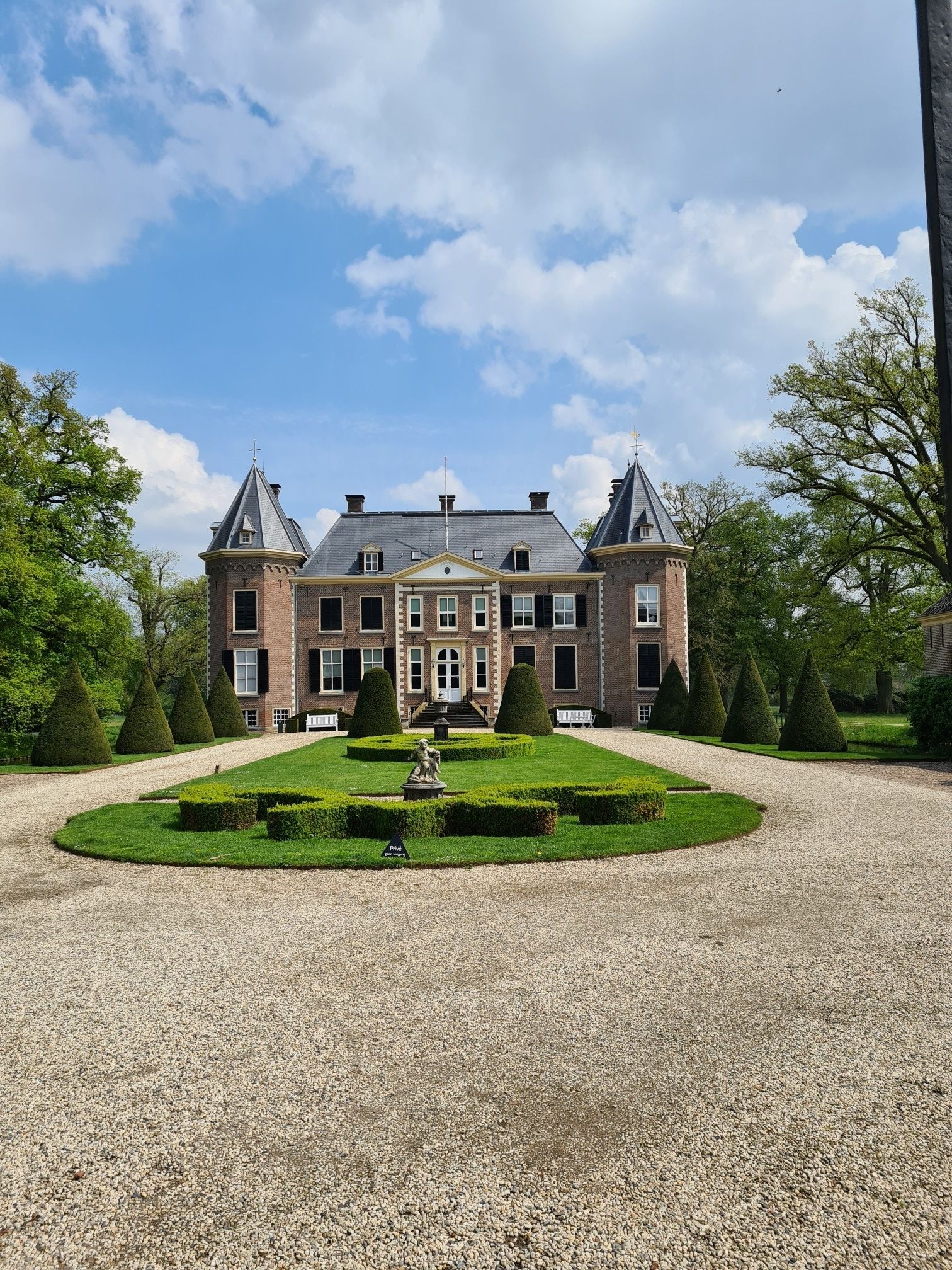
The area between Oldenzaal, Denekamp and De Lutte is known for its characteristic rolling landscape, formed by moraines that were created during the penultimate ice age, between 300,000 and 150,000 years ago. These natural hills, such as the Tankenberg with its 85 meters the highest point of Overijssel, give the area a unique relief. The landscape is further characterized by a mosaic of ash trees, camps, wooded banks and stream valleys, resulting in a small-scale and varied terrain. The Dinkel, a meandering river, cuts through this area and creates picturesque views, especially in nature reserves such as the Lutterzand. This combination of natural elements makes the area particularly attractive for hikers and nature lovers.
0
0
オルデンザールでのの人気観光スポット

komootモバイルアプリでインスピレーションを得よう


さらに探索
他の地域の最高のランニングトレイル & ルートを見てみましょう。
