ラスドルフのおすすめランニングルート
4.3
(162)
1,968
ランナー
201
ランニング
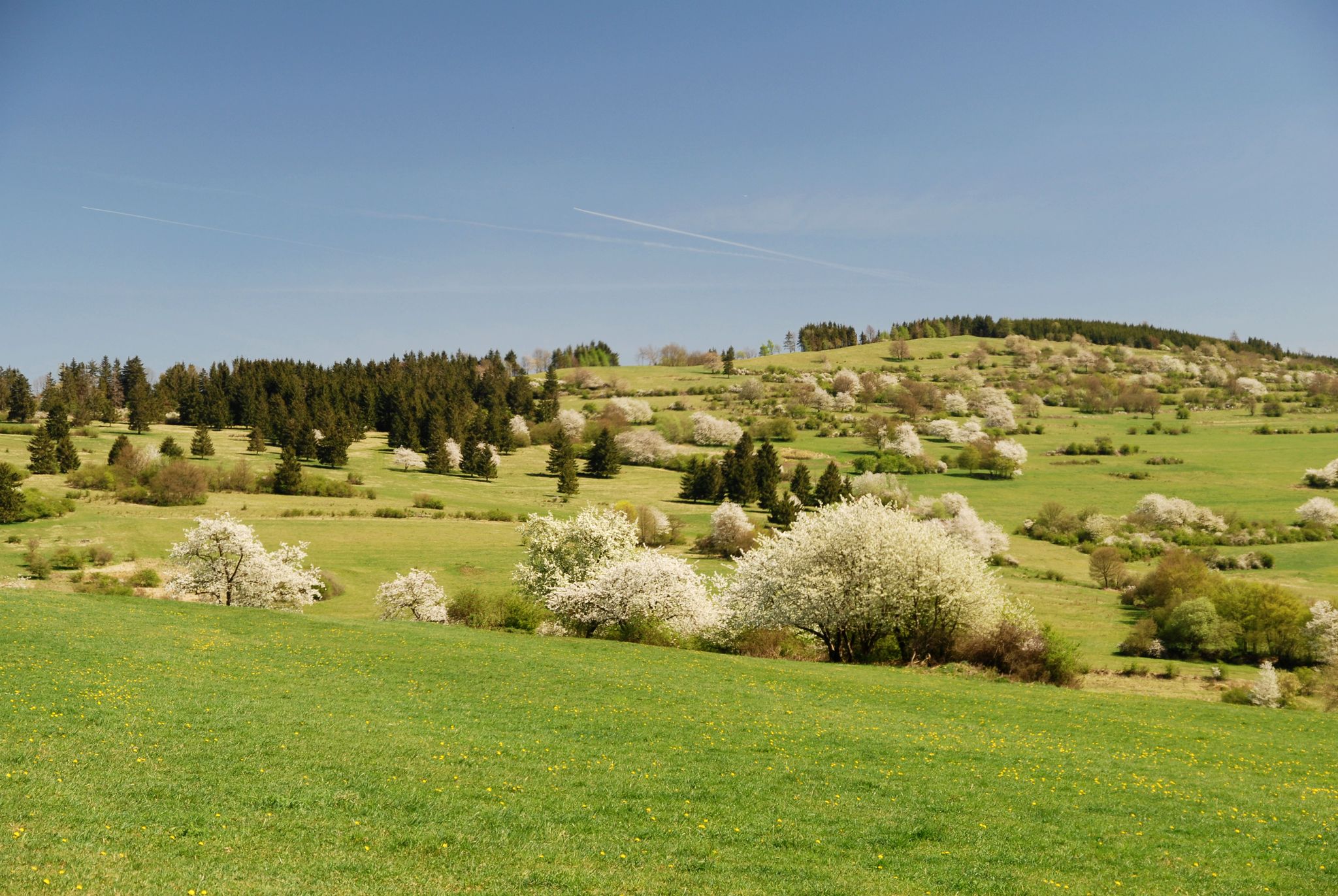
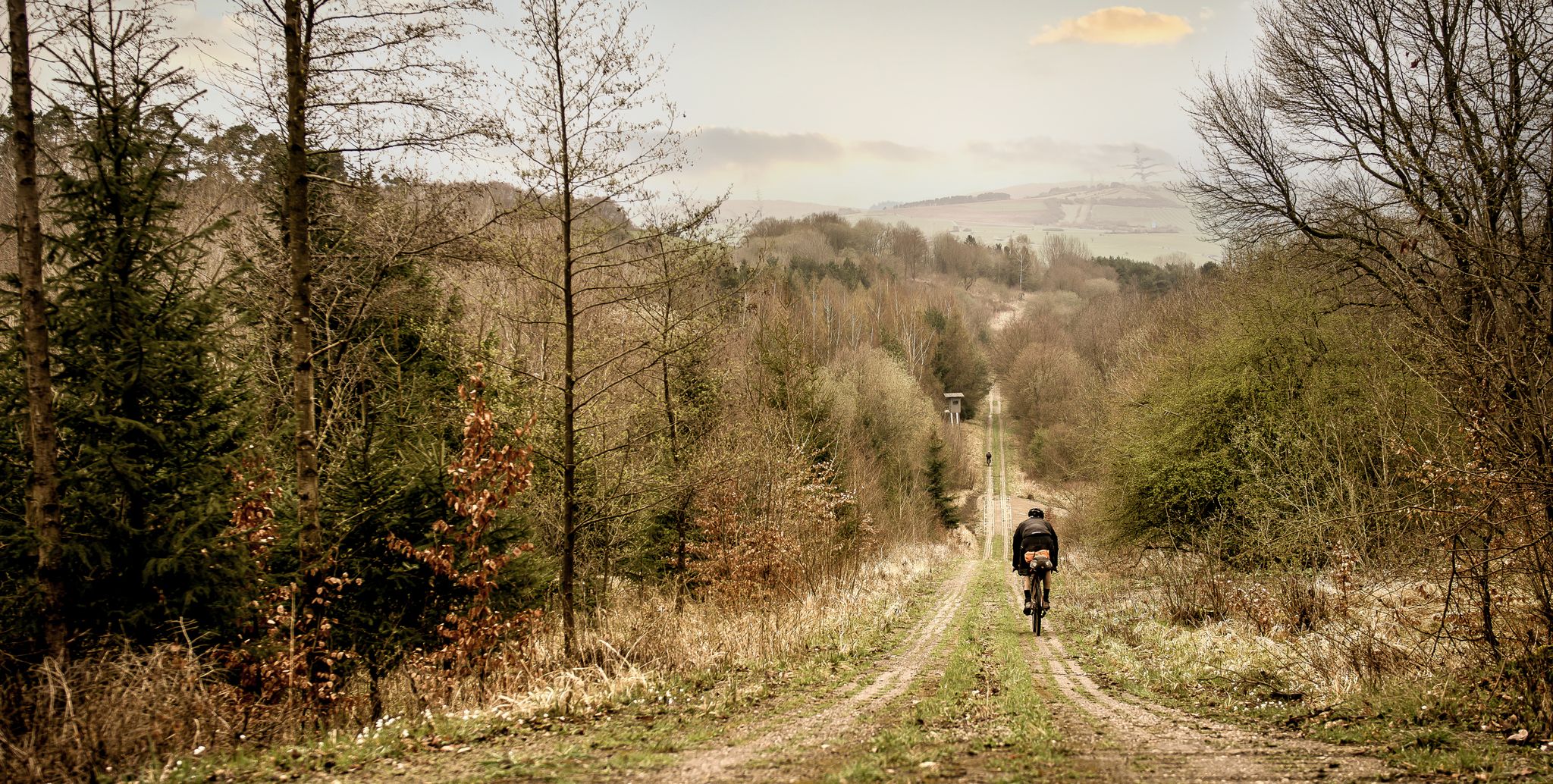
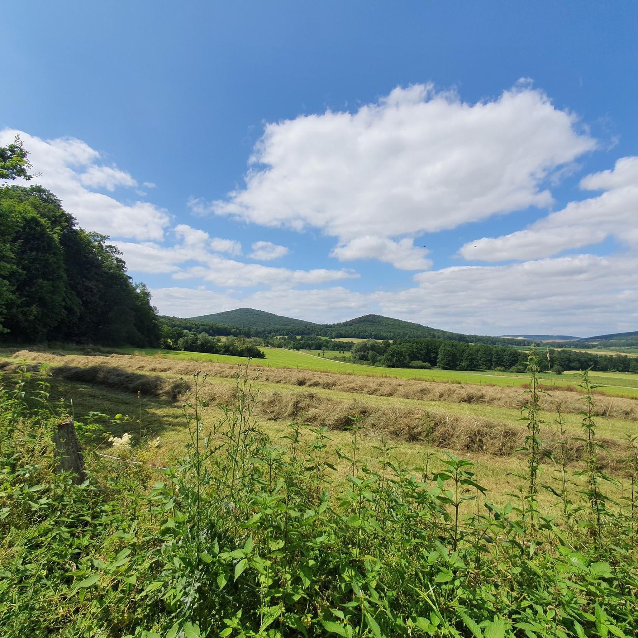
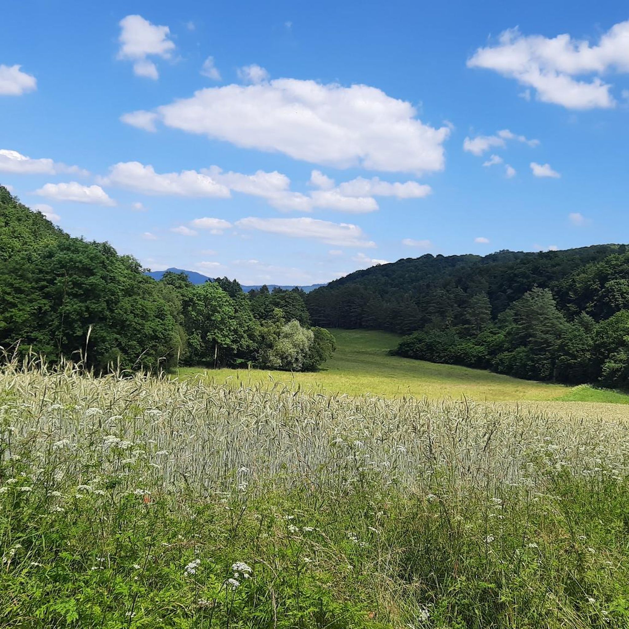
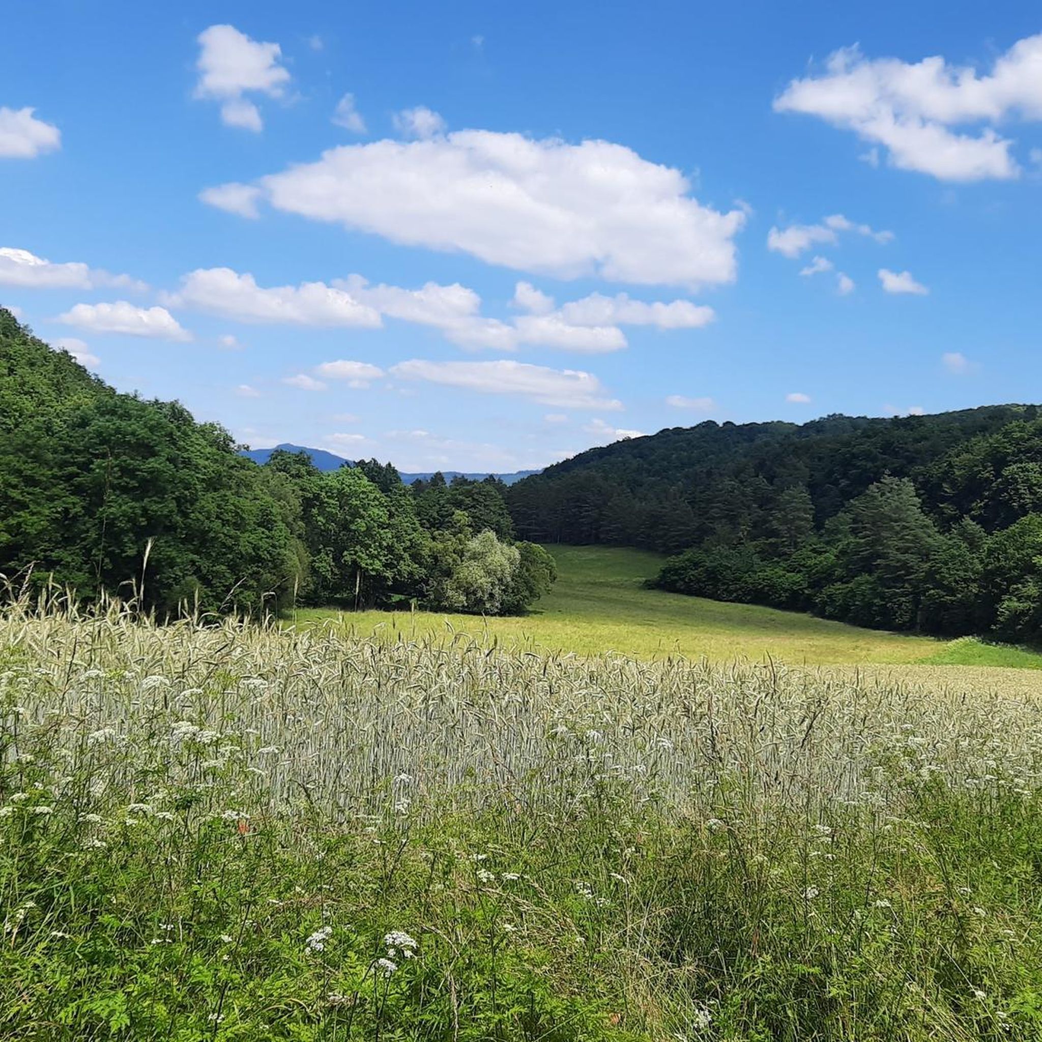
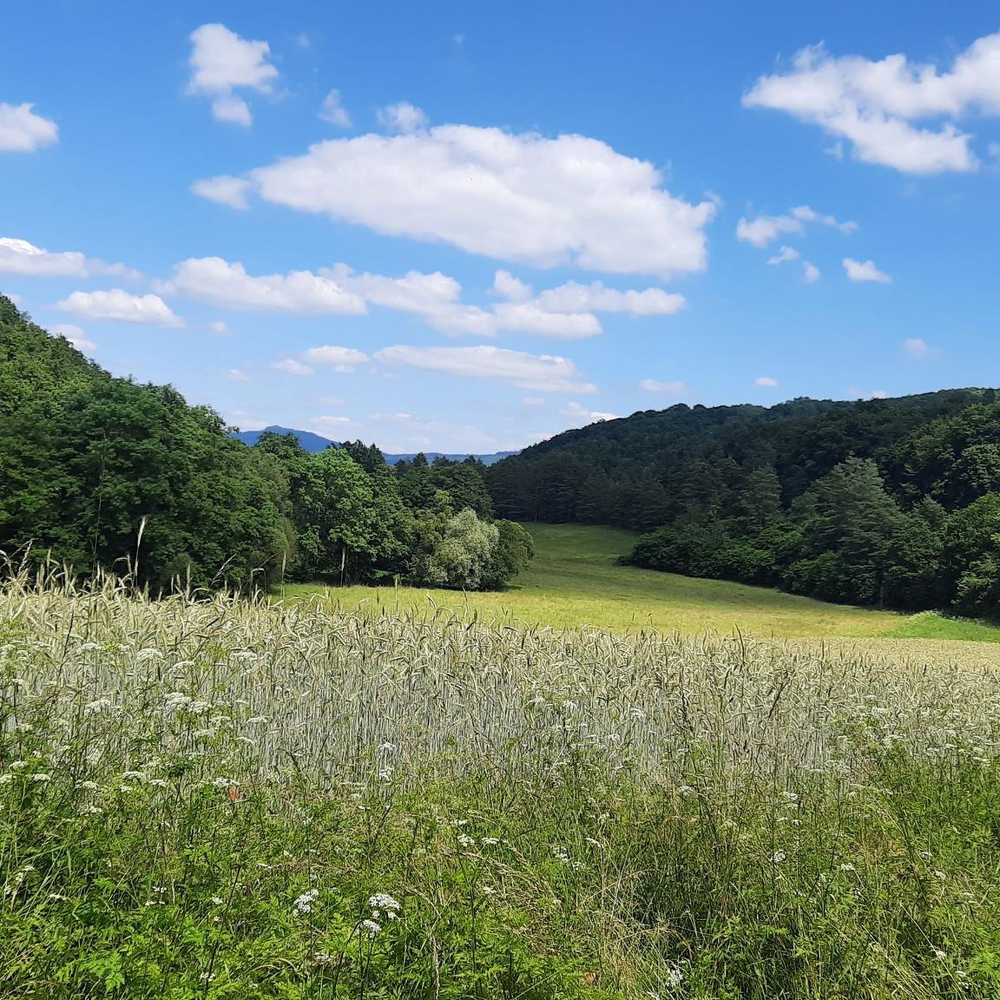
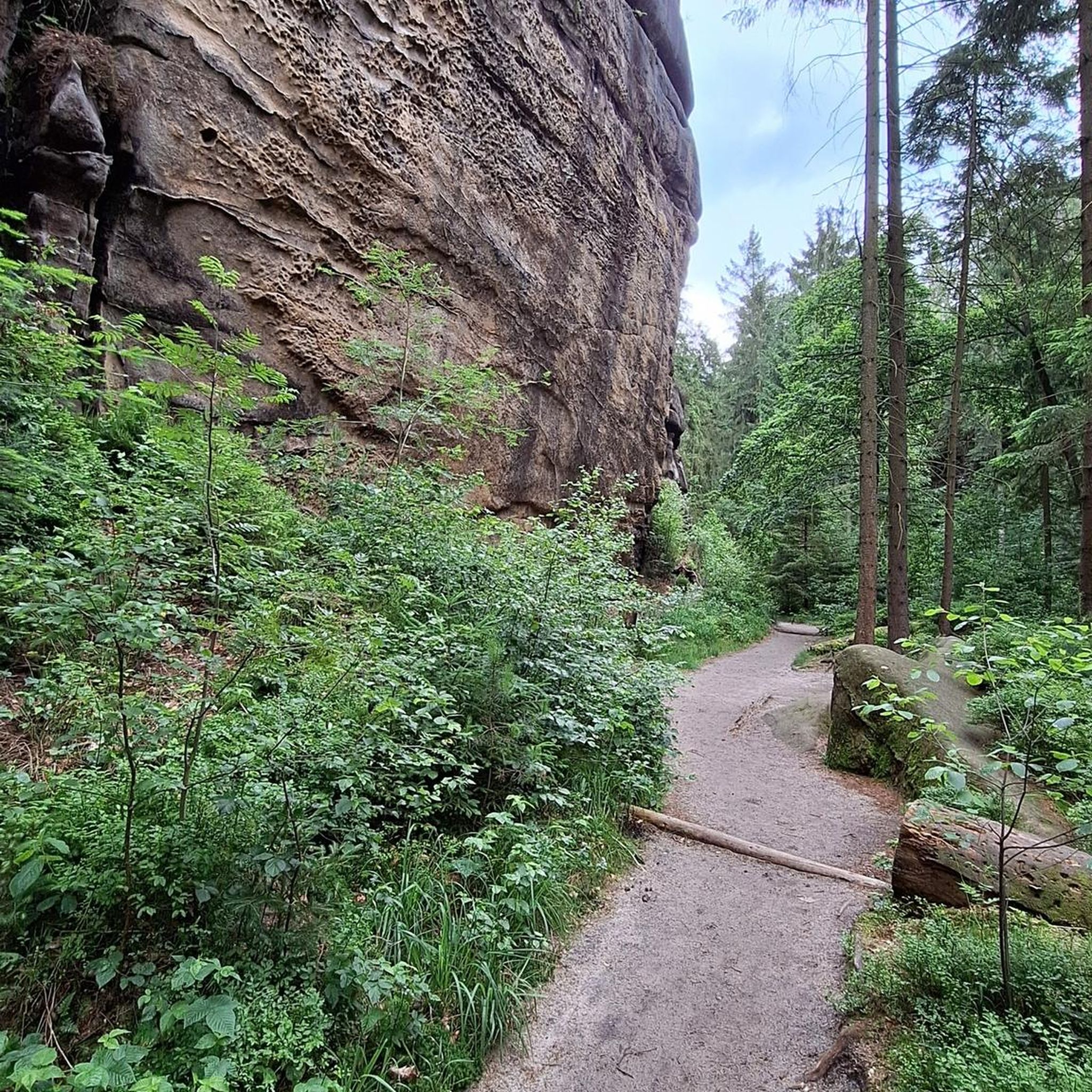
ジョギングは、なだらかな丘、広々とした野原、そして景色の良い展望ポイントが特徴の多様な景観を提供します。ユネスコ・ローン生物圏保護区の一部であるこの地域には、ゲヒルファースベルクのような高い場所への登りを含むトレイルネットワークがあり、広大な眺望を楽しめます。穏やかな傾斜からより挑戦的な登りまで、変化に富んだ地形は様々な体力レベルに対応します。かつてのドイツ国内の国境線は、現在「グリーンベルト」として保存されており、ランニングのための自然なトレイルも提供しています。
ラスドルフ周辺の最高のジョギングルート
- 最も人気のあるジョギングルートは、グロースエンタフトからのゲヒルファースベルク・ループで、10.3マイル(16.6 km)のトレイルで、所要時間は1時間55分です。この挑戦的なルートは、かなりの標高差とゲヒルファースベルクからのパノラマビューが特徴です。
- 地元のランナーに人気のもう一つのルートは、ブットラーからのエンバーグラートヴェークの始まり – ブットラーの眺めループで、5.7マイル(9.2 km)の中程度のパスです。このランニングルートは、ブットラー方面の景色を楽しみながら、変化に富んだ田園地帯を traverses します。
- 地元のランナーに愛されているもう一つのルートは、ガイザからのゲヒルファースベルクの眺め – ベーカリー・パッパート、ラスドルフ・ループで、10.1マイル(16.3 km)のトレイルは、展望ポイントのある丘陵地帯を通り抜け、ベーカリー・パッパートを通過し、所要時間は約1時間57分です。
- ラスドルフ周辺のジョギングは、なだらかな丘、広々とした風景、そしてローン生物圏保護区やグリーンベルトの一部を含む、やりがいのある展望ポイントによって定義されます。ランニングルートのネットワークは、初心者向けの簡単なジョギングルートと、経験豊富なランナー向けのより挑戦的なトレイルの両方のオプションを提供します。
- ラスドルフのルートは、komootコミュニティから高く評価されており、120件以上のレビューから平均4.3つ星のスコアを獲得しています。1600人以上のランナーがkomootを利用して、ラスドルフの多様な地形を探索しました。
最終更新日: 9月 7, 2026
5.0
(2)
10
ランナー
9.16km
00:57
70m
70m
中程度のジョギング. ある程度のフィットネスレベルが必要です。 全般的に舗装された状態です。あらゆるスキルレベルに適しています。
7
ランナー
16.8km
01:57
400m
400m
難しいジョギング. 標準以上のフィットネスレベルが必要です。 全般的に舗装された状態です。あらゆるスキルレベルに適しています。

6
ランナー
13.9km
01:27
140m
140m
中程度のジョギング. ある程度のフィットネスレベルが必要です。 全般的に舗装された状態です。あらゆるスキルレベルに適しています。
5.0
(3)
4
ランナー
3.75km
00:24
70m
70m
初級者向けランニング. あらゆるフィットネスレベルに適しています。 全般的に舗装された状態です。あらゆるスキルレベルに適しています。
10
ランナー
11.9km
01:15
120m
120m
中程度のジョギング. ある程度のフィットネスレベルが必要です。 全般的に舗装された状態です。あらゆるスキルレベルに適しています。
さらに多くのルートや他のユーザーのおすすめ情報を確認できます。
すでにアカウントをお持ちですか?
おすすめのツアーは他のkomootユーザーが実際に経験した何千ものアクティビティに基づいています。



コミュニティからのヒント

The old trade route "Antsanvia" once ran here, connecting Frankfurt, the Hessian metropolis, with the trading center of Leipzig. "The Empire's Road" also ran through Grossentaft at that time.
0
0


Beautiful view with seating and located directly on the bike path.
0
0

Even the strongest hiker needs a break sometimes 🍺
2
0

The 456 meter high Gehilfersberg is a circular basalt cone. Some people also consider the Gehilfersberg to be part of the Hessian Skittle Game, a mountain formation unique in the Kuppenrhön. In the 16th century, there was a cross on the summit that was popularly known as "St. Gehülff" and gave the mountain its name. The Gehilfersberg is one of the most important pilgrimage sites in the region. Around 1630, the pilgrimage chapel "St. Maria und Vierzehn Nothelfer" was built here in the late Gothic architectural style. The chapel fell victim to an arson attack in 1996, but was rebuilt faithfully just one year later. A Way of the Cross with 14 stations leads around the chapel. There is a cemetery forest in the southeast of the Gehilfersberg.
2
0

Beautiful view from the route of the Wenigentaft-Oechsener railway to Bermbach, which was closed in 1952.
0
0

Very nice views in natural surroundings on the Kegelspielradweg.
4
0

komootモバイルアプリでインスピレーションを得よう


さらに探索
他の地域の最高のランニングトレイル & ルートを見てみましょう。
