ヌフェネンのおすすめライド
4.7
(102)
3,190
ライダー
25
ライド
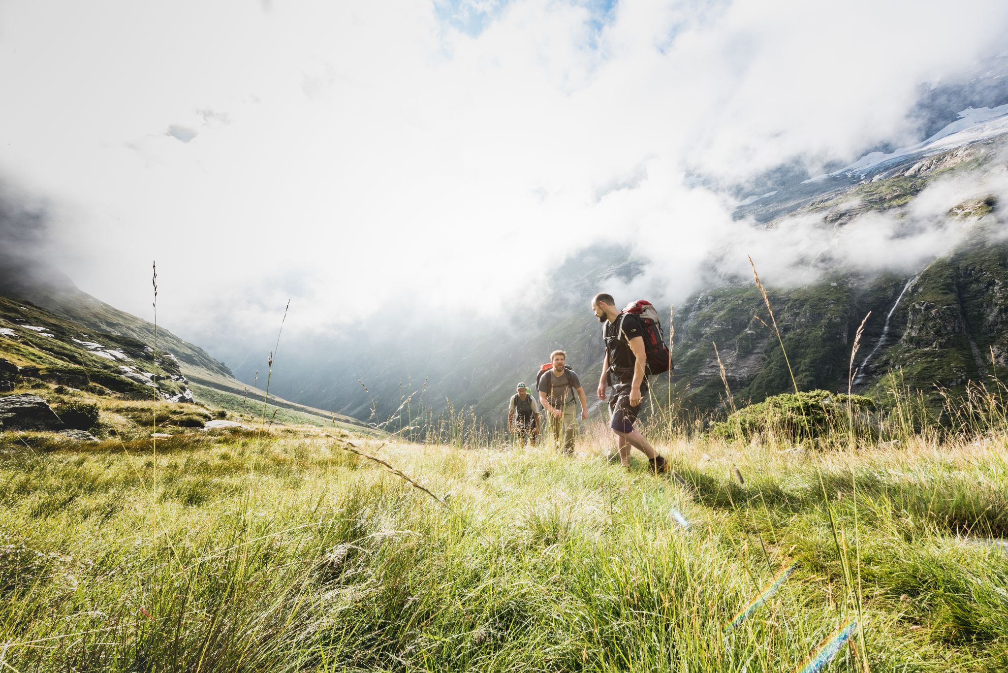
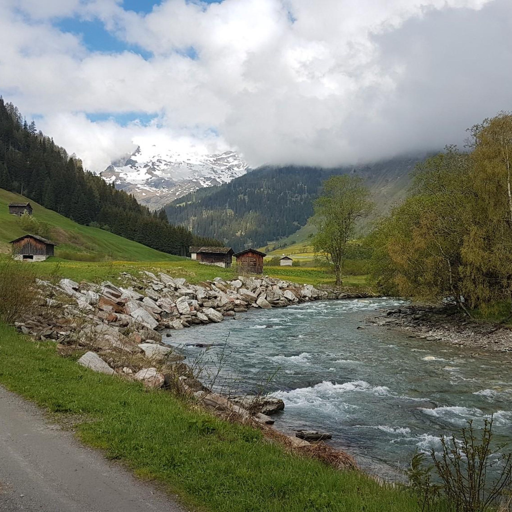
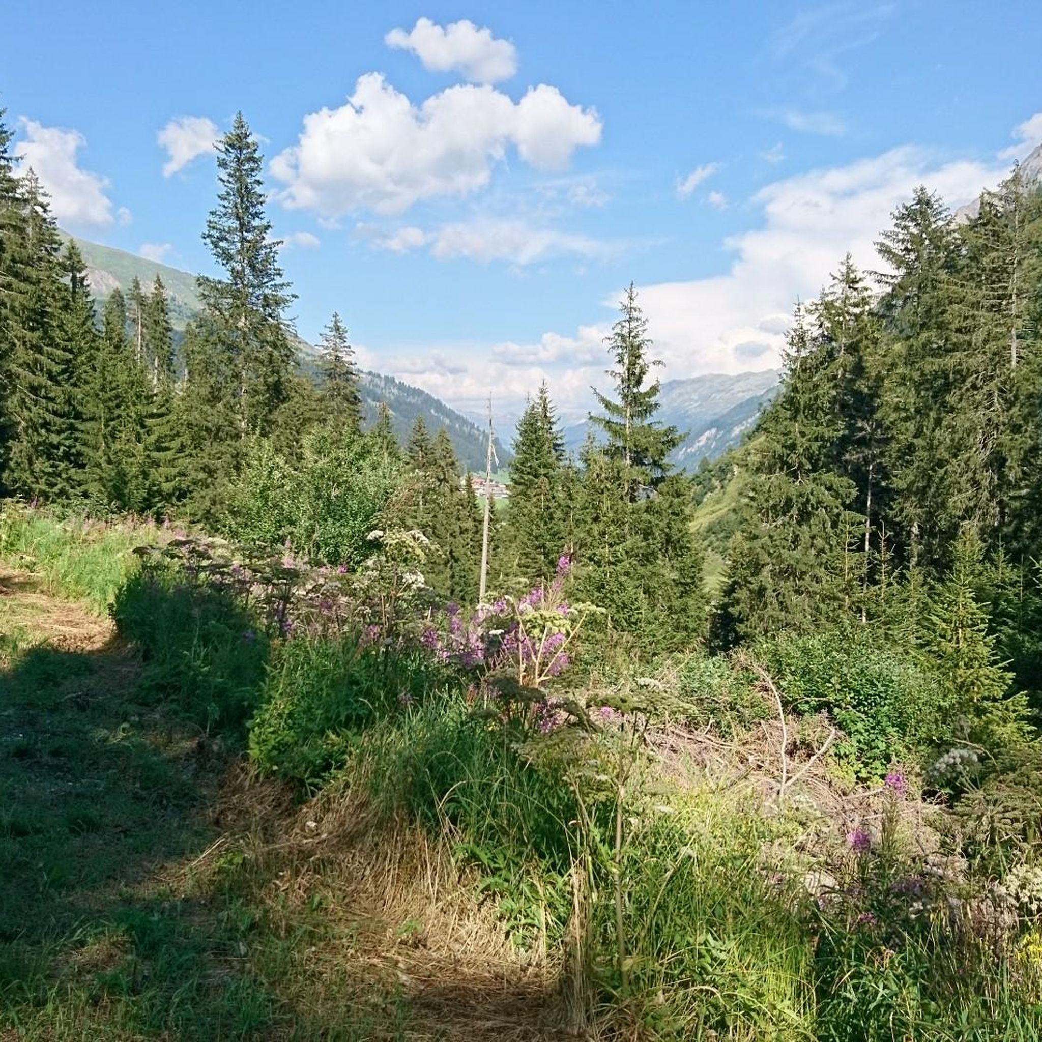
Nufenen周辺のロードサイクリングルートは、標高2,478メートル(8,130フィート)に達するヌフェネン峠を中心に、スイスアルプスを巡ります。この地域はティチーノ州とヴァレー州を結び、雪を頂いた山頂、高地の湖、ティチーノ川の源流といったドラマチックなアルプスの風景が特徴です。サイクリストは、挑戦的なヘアピンカーブ、かなりの標高差、氷河や著名な山々の眺めを含む、変化に富んだ地形に遭遇します。景観は、不毛の高地から高山の牧草地へと移り変わります。
Nufenen周辺のベストロードサイクリングルート
- 最も人気のあるロードサイクリングルートは、シュプリューゲン発、ラインヴァルトのヌフェネン村へのシュプリューゲンループで、距離34.4マイル(55.4 km)、所要時間3時間7分です。このルートは、アルプスの風景の中を走る挑戦的な登りが特徴です。
- 地元のロードサイクリストに人気のもう一つのルートは、シュプリューゲン発、モンテスプルガ湖へのシュプリューゲン峠ループで、距離22.6マイル(36.4 km)の難易度の高いコースです。このルートは、高地の地形を抜け、景色の良い湖のそばを通ります。
- 地元のロードサイクリストに愛されているのは、ヒンターライン発、グラウビュンデンの岩石地帯とサン・ベルナルディーノ峠へのループで、距離9.9マイル(16.0 km)のルートは、山道や岩石地帯を通り抜け、所要時間は約59分です。
- ヌフェネン周辺のロードサイクリングは、雄大なアルプスの風景、挑戦的なヘアピンカーブ、高地の湖が特徴です。このネットワークは、初心者から上級者まで、さまざまなレベルのサイクリストに対応できるよう、イージー、ミディアム、ハードのルートオプションを提供しています。
- ヌフェネンのルートは、komootコミュニティから高く評価されており、50件以上のレビューで平均4.9つ星を獲得しています。2,000人以上のロードサイクリストがkomootを利用して、ヌフェネンの変化に富んだ地形を探索しています。
最終更新日: 10月 8, 2026
4.7
(26)
627
ライダー
127km
07:06
2,640m
2,640m
難しいロードライド. 標準以上のフィットネスレベルが必要です。 全般的に舗装状態が良好で走行しやすい道です。
4.3
(9)
267
ライダー
66.2km
03:55
1,580m
1,580m
難しいロードライド. 標準以上のフィットネスレベルが必要です。 全般的に舗装状態が良好で走行しやすい道です。

5.0
(3)
62
ライダー
30.9km
01:57
910m
910m
難しいロードライド. 標準以上のフィットネスレベルが必要です。 全般的に舗装状態が良好で走行しやすい道です。
5.0
(2)
41
ライダー
16.2km
01:00
460m
460m
中程度のロードライド. ある程度のフィットネスレベルが必要です。 全般的に舗装状態が良好で走行しやすい道です。
26
ライダー
54.4km
03:08
1,270m
1,270m
難しいロードライド. 標準以上のフィットネスレベルが必要です。 全般的に舗装状態が良好で走行しやすい道です。
さらに多くのルートや他のユーザーのおすすめ情報を確認できます。
すでにアカウントをお持ちですか?
おすすめのツアーは他のkomootユーザーが実際に経験した何千ものアクティビティに基づいています。
無料アカウントで今日から始めよう
次の冒険が待っています。

コミュニティからのヒント


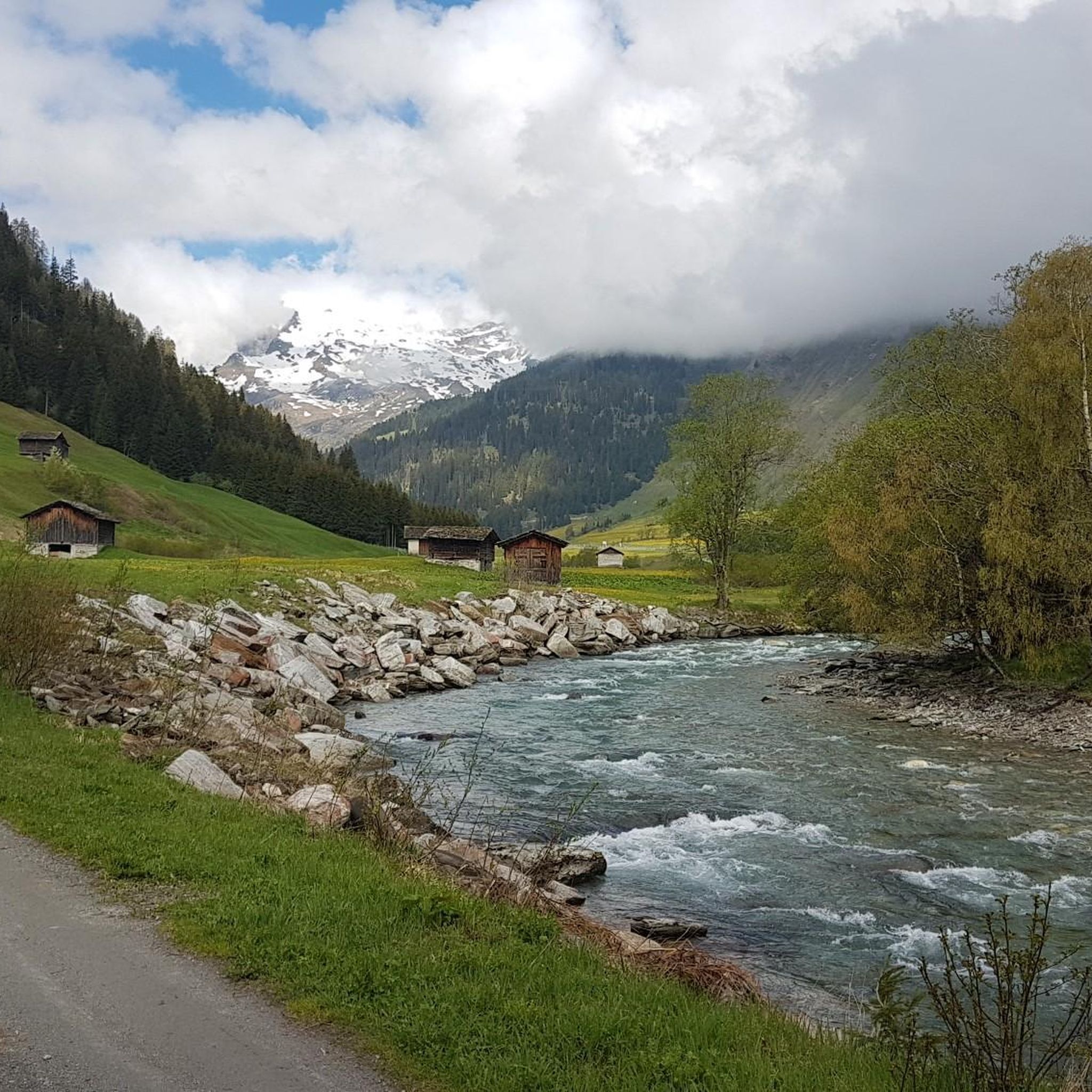
サン・ベルナルディーノ峠は、ミゾールクスとラインヴァルトを結び、標高2,066メートルに位置しています。峠の頂上にはレストランとバス停があり、アクセスが容易です。 小さな湖と広大なエリアがある開けた高山の風景は、休憩に適しています。
0
0

Very good alternative to the main road, completely paved.
0
0

Hotel Bellevue, San Bernardino since 1858 The Hotel Bellevue was first mentioned in 1858 and was built by the landowner Gaspare Motto, a landowner from Mesocco. Motto built the mineral spring building together with Paolo Battaglia. At the beginning of the 19th century, the resort hosted numerous spa guests, mainly from nearby Ticino, Lombardy, and Piedmont. The Desteffanis family is also mentioned, but the details of their management are unclear (probably around 1870). Luigi Toschini (1832–1915) bought the hotel in 1896 and later handed over the business to his sons Samuele (1857–1943) and Giovanni (1873–1925) and their respective families. At that time, the Bellevue's capacity was limited, consisting of 18 rooms (for tourists) and 4 for staff. A special feature of the hotel's cellar was a room called "giazéira" in the local dialect, which was filled with snow and ice in the spring to keep drinks and food cool. In 1932, the hotel was sold to the Thorner-Blatter family from the Canton of Bern, who are also the current owners of Villa Flora. In 1937, the Thorner-Blatter family decided to sell the building to the Studer family, who later resold it to Mr. Oldenburg. In 1955, the Thorner-Blatter family repurchased the hotel. In 1965, the Schmidlin family bought the hotel and ran it until 1984. In the 1960s and 1970s, the Schmidlin family was known in San Bernardino for breeding several St. Bernard dogs, which lived in the garden next to the hotel, where the terrace is today. The Schmidlin family later bred up to 15 St. Bernards and became the symbol of their business during those years. In 1984, Hans and Meta Wellig, the former owners of the Hotel National Ravizza, purchased the Hotel Bellevue with the intention of continuing the family tradition. Text / Source: Hotel Bellevue, San Bernardino https://bellevue-sanbernardino.ch/
6
0

A reservoir in the Swiss canton of Graubünden, nestled in the impressive mountain landscape of the Viamala and Rheinwald regions. It stretches over a length of approximately two kilometers.
1
0

great road and curves like you only find in Switzerland@
0
0

komootモバイルアプリでインスピレーションを得よう


さらに探索
他の地域の最高のロードサイクリングルートを見てみましょう。
