サフナー湖のおすすめライド
4.8
(106)
3,262
ライダー
15
ライド
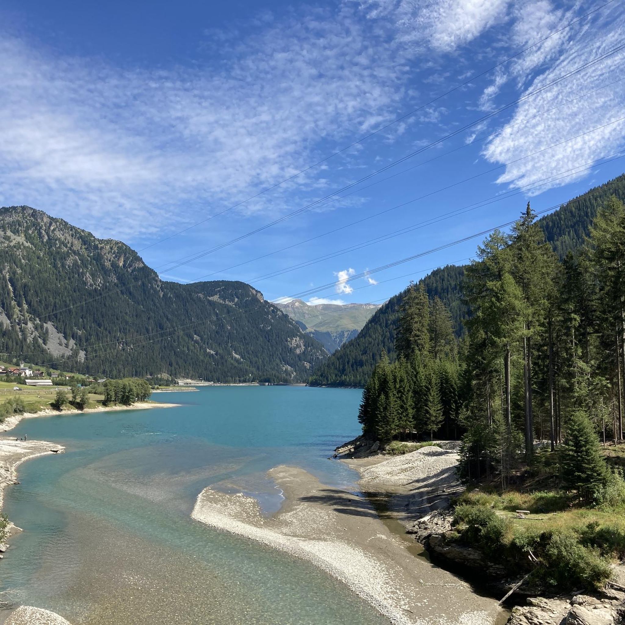
サフナー湖周辺でおすすめのロードバイクルートをお探しですか?ヒンタールハインが誇るこの美しい湖周辺で楽しめるライドを集めたkomootコレクションを参考にしてください。次のアドベンチャーでは、サフナー湖の魅力をもっと発見しましょう。
最終更新日: 8月 31, 2026
4.8
(14)
768
ライダー
89.2km
05:47
2,660m
2,660m
難しいロードライド. 標準以上のフィットネスレベルが必要です。 ツアーの一部に、未舗装のため走行が難しい箇所があるかもしれません。
5.0
(3)
83
ライダー
145km
07:17
2,260m
2,260m
難しいロードライド. 標準以上のフィットネスレベルが必要です。 全般的に舗装状態が良好で走行しやすい道です。

無料新規登録
4.6
(8)
164
ライダー
32.1km
02:05
980m
980m
難しいロードライド. 標準以上のフィットネスレベルが必要です。 全般的に舗装状態が良好で走行しやすい道です。
4.7
(26)
627
ライダー
127km
07:06
2,640m
2,640m
難しいロードライド. 標準以上のフィットネスレベルが必要です。 全般的に舗装状態が良好で走行しやすい道です。
4.3
(9)
267
ライダー
66.2km
03:55
1,580m
1,580m
難しいロードライド. 標準以上のフィットネスレベルが必要です。 全般的に舗装状態が良好で走行しやすい道です。
さらに多くのルートや他のユーザーのおすすめ情報を確認できます。
無料新規登録
すでにアカウントをお持ちですか?
おすすめのツアーは他のkomootユーザーが実際に経験した何千ものアクティビティに基づいています。
無料アカウントで今日から始めよう
次の冒険が待っています。
ログインまたは登録

コミュニティからのヒント


Very good alternative to the main road, completely paved.
0
0

A place of power in a special class
0
0

The ride through the famous Via Mala Gorge is a true highlight for road cyclists. The narrow, winding road winds spectacularly between steep rock faces, combining a challenging ride with impressive scenery. The asphalt is well-ridable, but you should expect tight bends, changing light, and heavy traffic—so it's best to ride in the early morning or late afternoon. A quick stop at the viewpoints is worthwhile to experience the magnificent views down into the gorge.
1
0

Ruinaulta Rhine Gorge The Ruinaulta, or Rhine Gorge, is a gorge of the Vorderrhein River, up to 400 meters deep and approximately 13 kilometers long, between Ilanz and the mouth of the Hinterrhein River near Reichenau in the canton of Graubünden in Switzerland. The Romansh name 'Ruinaulta' is composed of the two words ruina (scree slope, quarry) and aulta (high). The Ruinaulta was formed after the Flims Landslide almost 10,000 years ago. At that time, over 10 billion cubic meters of rock broke off between the Flimserstein and Piz Grisch, burying the Vorderrhein Valley between the present-day villages of Castrisch and Reichenau under a mass of debris several hundred meters thick. Because the Vorderrhein River could no longer drain away, a lake was dammed over a length of approximately 25 kilometers. Over time, the river cut deep into the landslide, and the resulting lake drained away completely. What remained was the Ruinaulta, with its steep limestone scree cliffs in impressive erosion formations. Text / Source: Wikipedia https://de.wikipedia.org/wiki/Ruinaulta
16
0
Confluence of the Vorderrhein and Hinterrhein, Reichenau Dominated by Reichenau Castle, the hamlet lies at the confluence of the Vorderrhein and Hinterrhein rivers, making it virtually the birthplace of the Rhine. It all began 10,000 years ago. Between the Flimserstein (a high plateau) and Piz Grisch, over 10,000 cubic meters of rock broke off and thundered down into the valley. Towards Reichenau, the Vorderrhein valley disappears under a gigantic mass of rubble. From there, the Rhine diligently ate its way through the rock, creating the spectacular Swiss "Grand Canyon" – the Ruinaulta. Text / Source: myswitzerland.com https://www.myswitzerland.com/de-ch/erlebnisse/route/vom-zusammenfluss-der-rheine-in-die-rheinschlucht/
16
0

Since, as is often the case, the pass signs are completely covered with stickers, taking photos in front of them is no longer fun. Alternatively, you can use the boundary stone to take a "proof photo." On the other side of the road, there's another, smaller stone with the elevation: 2113 m.
0
0
サフナー湖でのの人気観光スポット

komootモバイルアプリでインスピレーションを得よう


さらに探索
他の地域の最高のロードサイクリングルートを見てみましょう。
