クルムバッハのおすすめ登山&山歩きルート
5.0
(1)
3
ハイカー
1
ハイキング
オーバーフランケンの山々をもっと探索しませんか?このガイドでご紹介するのは、komootがクルムバッハでの登山&山歩きのコレクション全体を評価して選び抜いた、このエリアの人気ルートです。あなたに合ったルートを見つけるには、他のユーザーがアップロードした役立つ情報や写真を閲覧し、クリック操作で簡単に表示できる詳細なデータを参考にしましょう。クルムバッハでの次の冒険にぴったりの登山&山歩きルートが見つかるはずです。
最終更新日: 9月 15, 2026
2
ハイカー
12.6km
03:50
420m
420m
中程度の登山ルート. ある程度のフィットネスレベルが必要です。 進みやすいルートです。あらゆるスキルレベルに適しています。
7.35km
02:20
290m
290m
中程度の登山ルート. ある程度のフィットネスレベルが必要です。 進みやすいルートです。あらゆるスキルレベルに適しています。

5.0
(1)
1
ハイカー
5.34km
01:30
110m
110m
初級者向け登山ルート. あらゆるフィットネスレベルに適しています。 進みやすいルートです。あらゆるスキルレベルに適しています。
おすすめのツアーは他のkomootユーザーが実際に経験した何千ものアクティビティに基づいています。
無料アカウントで今日から始めよう
次の冒険が待っています。
クルムバッハ周辺で人気
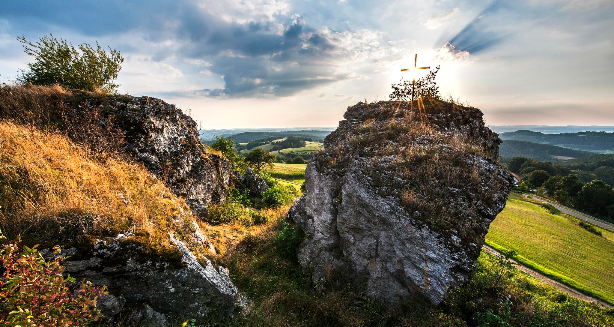
Fun hiking and wonderful views in Franconian Switzerland
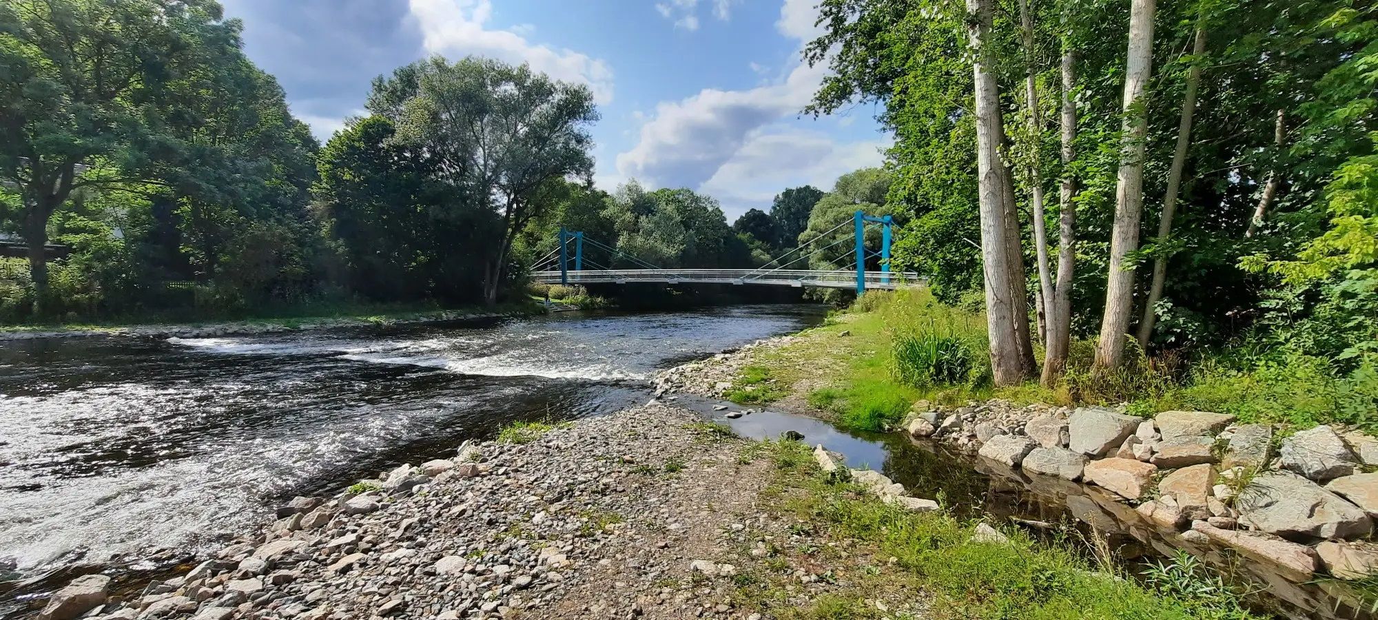
D-Route 11 – Baltic Sea - Upper Bavaria
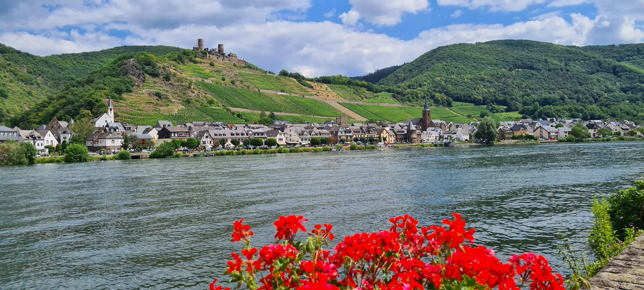
D-Route 5: Saar-Moselle-Main
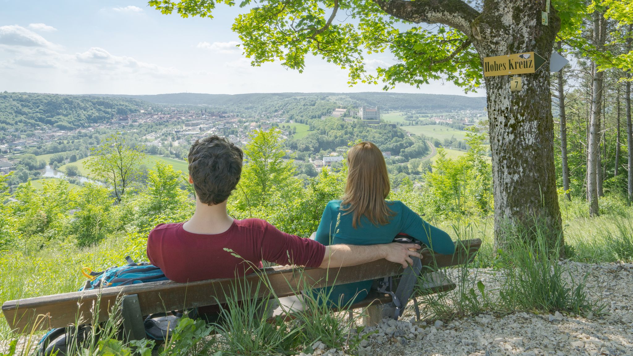
Pleasure, nature and culture – hiking around the Franconian towns
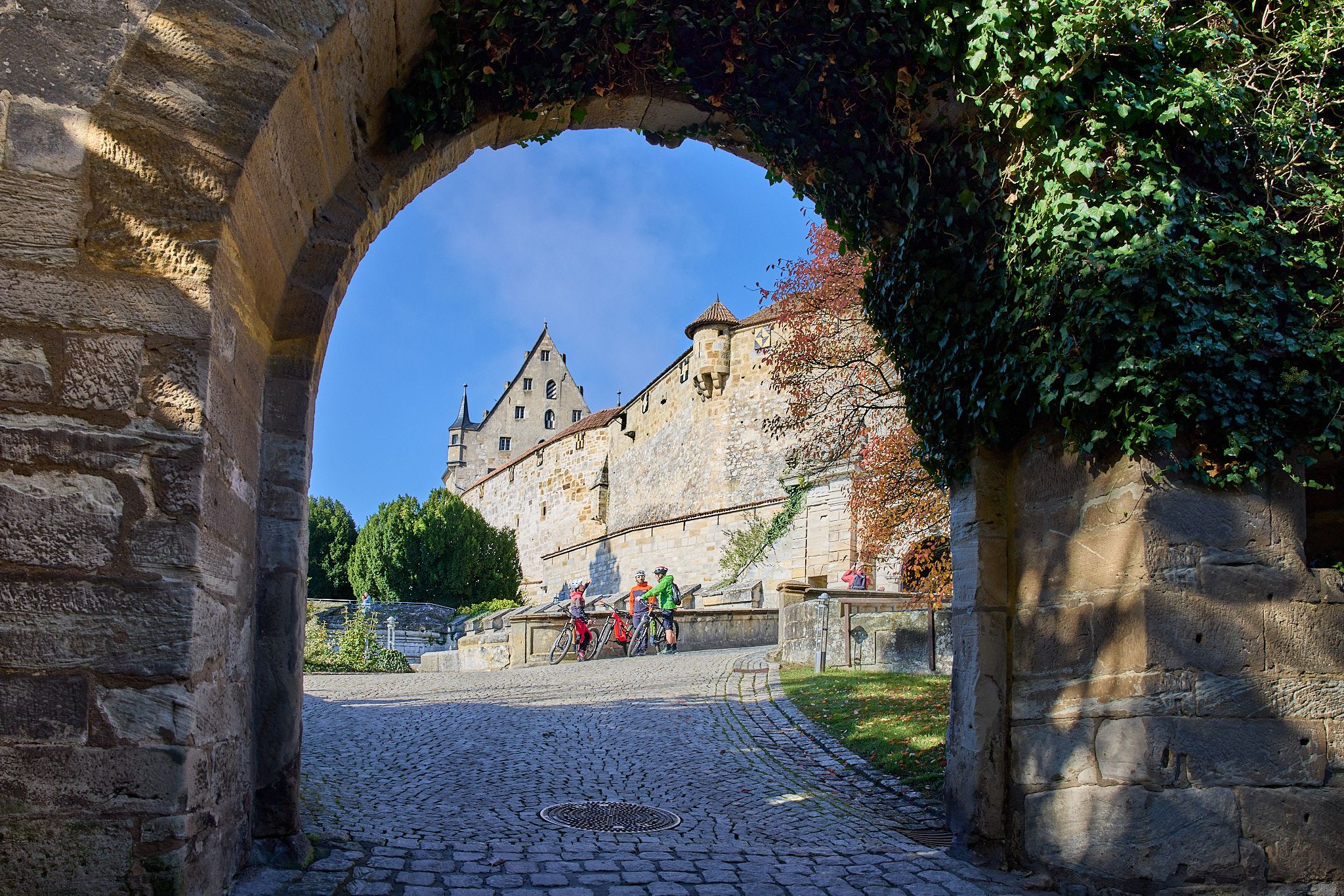
Fun, nature, and culture – cycling around the Franconian cities
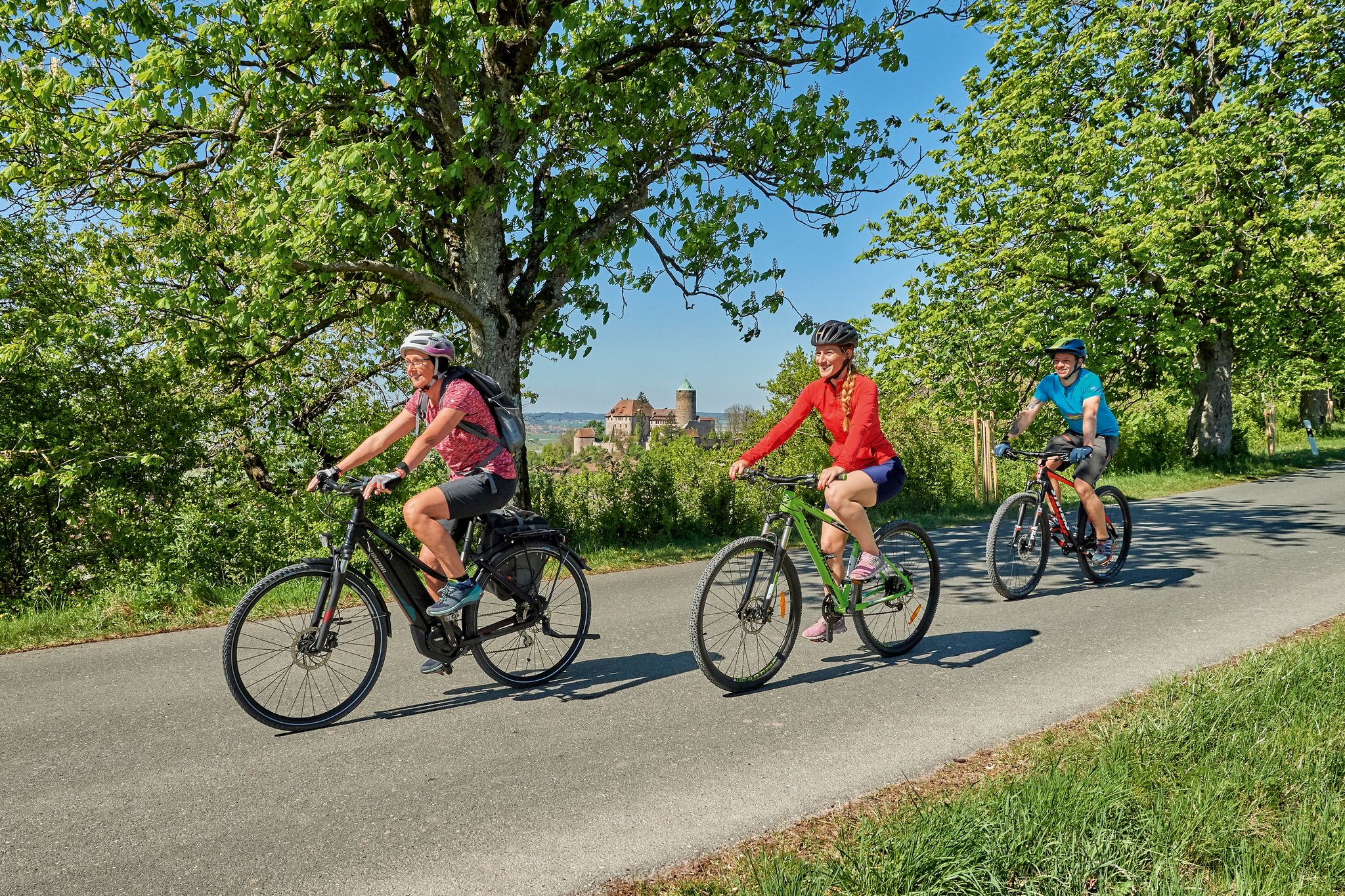
Sustainable cycling holidays — e-bike Tours through Franconia
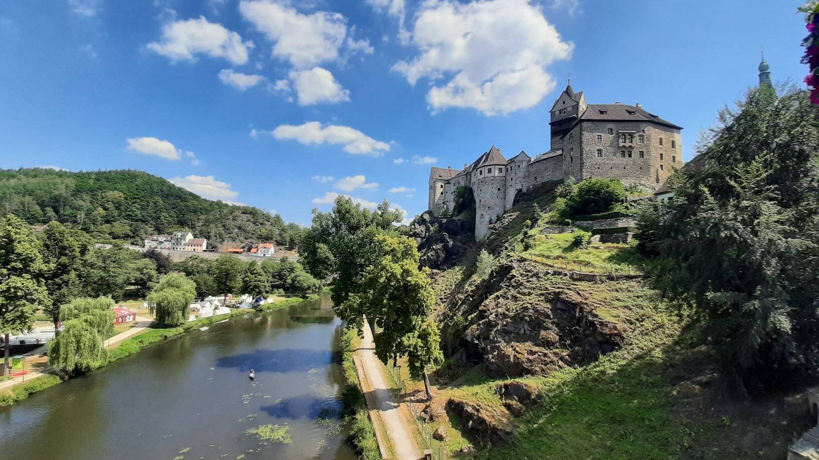
ユーロッパの心臓を通って - ユーレギオ・エグレンシスを乗って
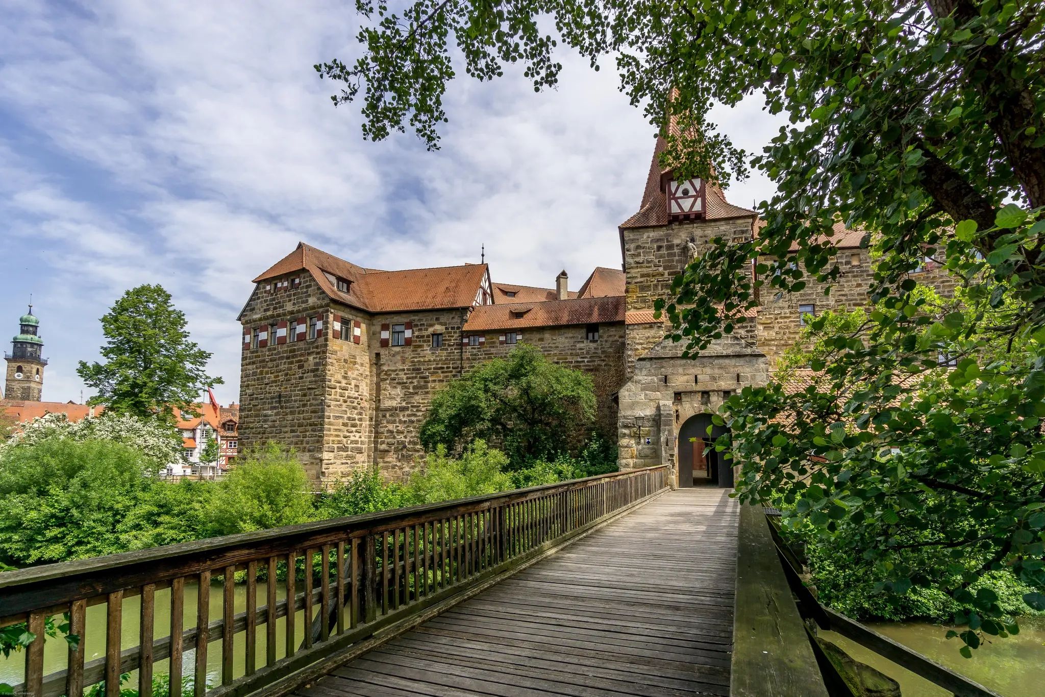
ロマンチックなマンハイムとバイロイト間 - 城街道サイクリングルート
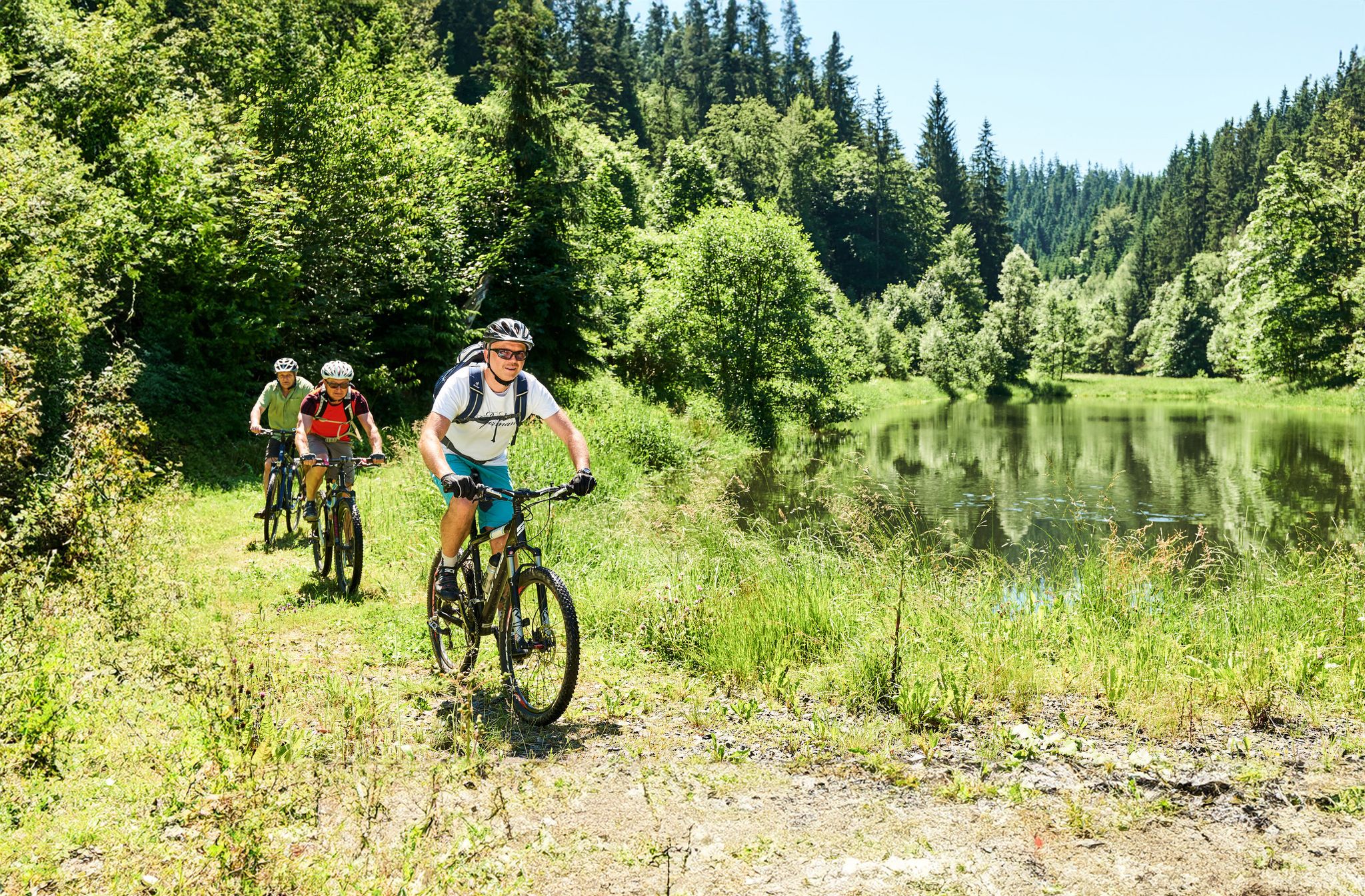
Magical woodland & trails – cycling in Germany’s Franconian Forest
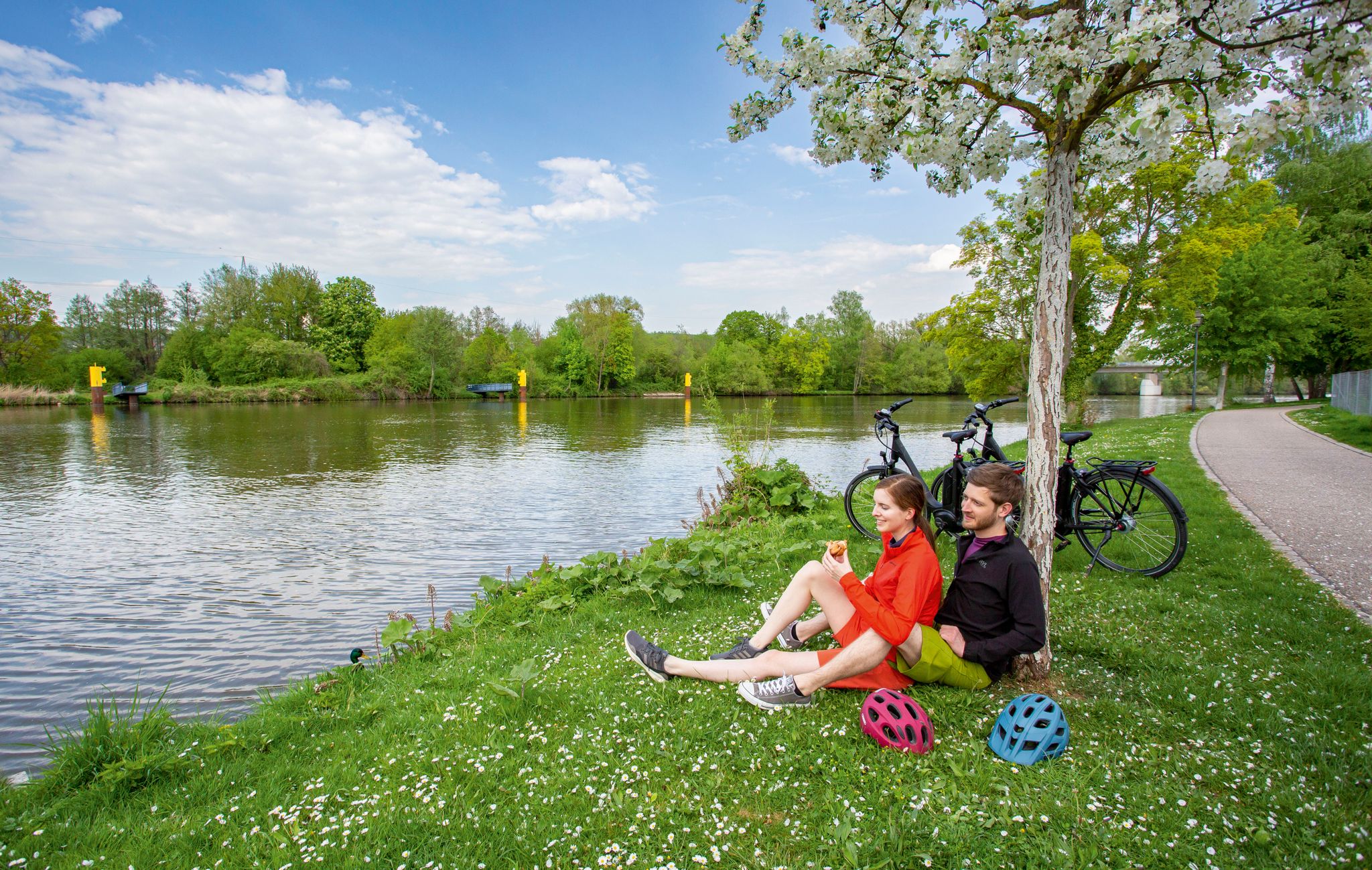
GERMANY'S DIVERSITY ON ONE RIVER — THE MAIN RIVER CYCLE ROUTE
クルムバッハでのの他の冒険


コミュニティからのヒント


The Teufelsloch (Devil's Hole) near Oberwaiz is a wildly romantic nature reserve and geotope, particularly known for its gorge landscape and small waterfalls. Especially in winter, bizarre ice formations appear, constantly changing their appearance. The so-called Teufelslochgraben (Devil's Hole Gorge) is a ravine carved deep into the Rhaetian sandstone. The combination of sandstone cliffs, mosses, and ferns gives the area a primeval character.
4
0

Starting point for a detour to the supposedly most beautiful part of the Teufelsloch nature reserve. At this bridge, the Teufelslochgraben begins to flow down over rocks and stones in the form of numerous waterfalls. There is a small "parking lot" above the bridge.
3
4


The North cable car in Bischofsgrün has a total length of 2,178 meters with a height difference of 359 meters. The cable car is a detachable gondola lift and was only newly built in 2023. Construction work on the new South cable car is going according to plan. It should also be finished in December 2024.
13
0

gigantic view of the landscape
0
0
from here you have a wonderful view of the landscape
0
0

Currently (JUNE 2024) there is no nice descent possible on the south side because the cable car is being rebuilt. Unfortunately it is just a large sand and gravel path. It is better to take the more challenging east side if you dare :)
0
0

komootモバイルアプリでインスピレーションを得よう


さらに探索
他の地域の最高の登山ハイキング & ルートを見てみましょう。
