ハールのおすすめランニングルート
4.6
(84)
1,843
ランナー
78
ランニング
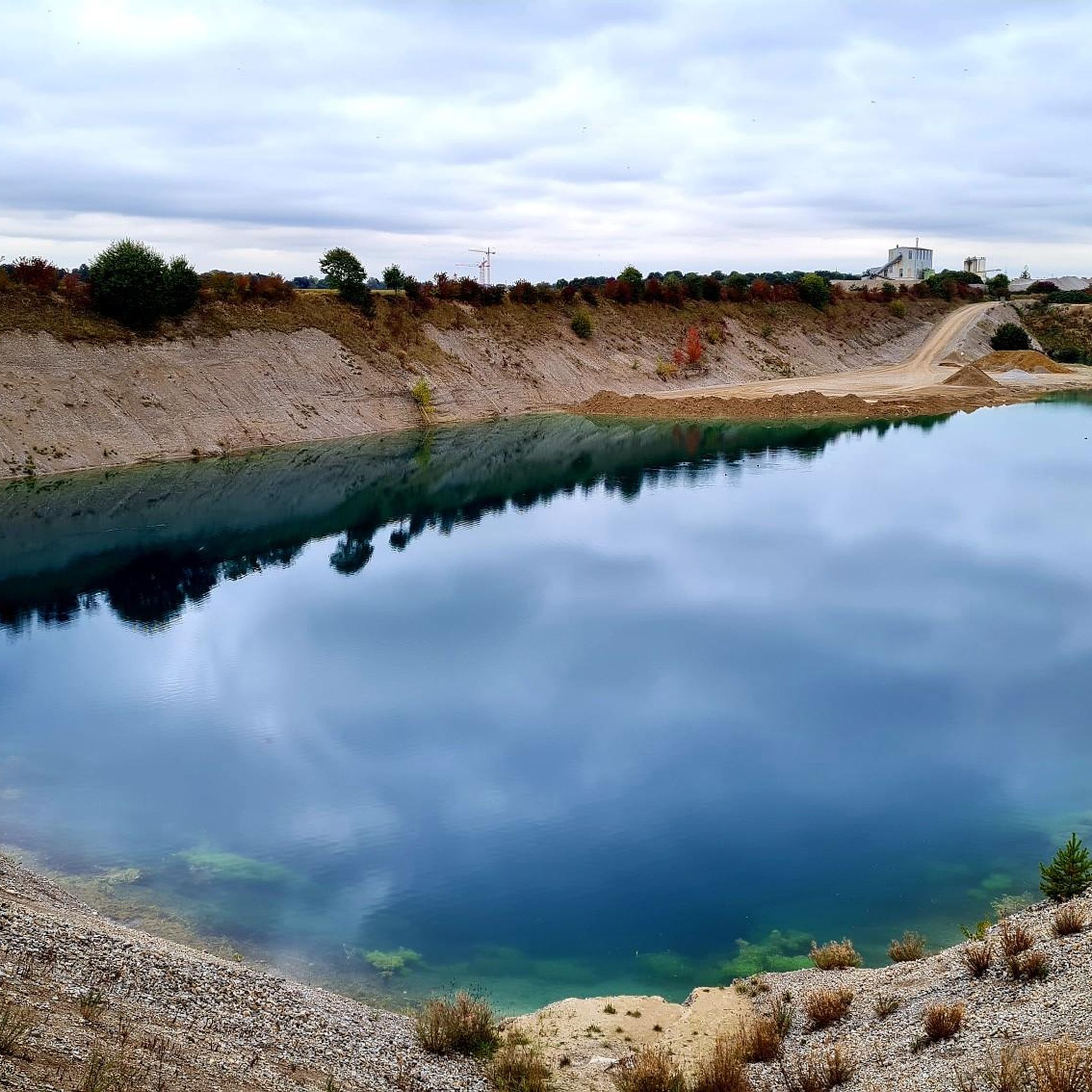
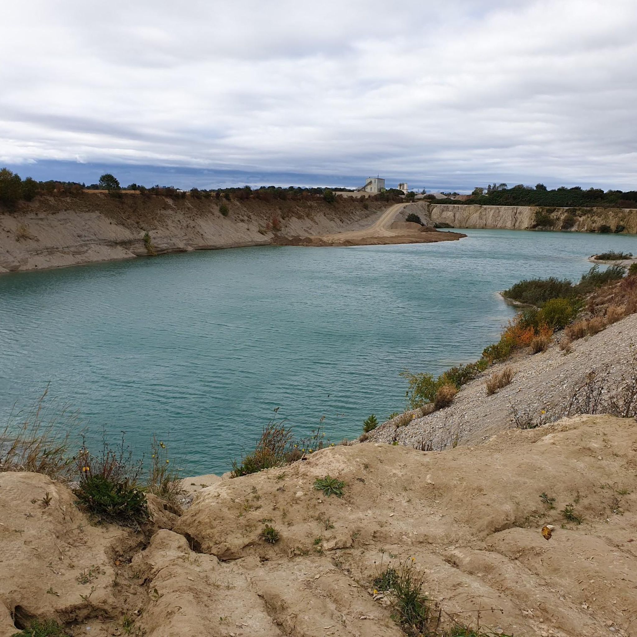
ジョギングコースは、ミュンヘンに隣接する自治体であるパール周辺にあり、広大な緑地を通る多様な地形を提供します。この地域は、人工的なリーム湖(Riemer See)と穏やかなリーム山(Riemer Berg)の丘がある広大なリーム公園(Riemer Park)に近いことが特徴で、ランニングに適した多様な路面を提供しています。パールの南側には、トルデリンガーの森(Truderinger Wald)があり、森の中の数多くの小道を通って自然を満喫できる環境が広がっています。自然志向の都市計画へのこの取り組みは、アウトドアアクティビティに快適な環境を保証します。
パール周辺のベストジョギングコース
- 最も人気のあるジョギングコースは、パール発のリーム湖~リーム山の展望台ループ(Riemer Lake – Viewpoint on the Riem Hill loop from Haar)で、所要時間1時間51分、距離17.9kmです。このコースはリーム湖の周りを巡る景色の良いループで、リーム山の展望台が含まれています。
- 地元ランナーに人気のもう一つのコースは、パール発の聖母マリア(ザルムドルフ)ループ(Assumption of the Virgin Mary (Salmdorf) loop from Haar)で、距離8.7kmの中程度の難易度です。このコースは、地元の風景の中を穏やかな高低差で進みます。
- 地元ランナーに愛されているパール中心部~聖ニコラウスループ(Haar town center – St. Nikolaus loop from Haar)は、距離6.2kmで、町の中心部を通り、所要時間は約38分です。
- パール周辺のジョギングは、リーム湖、リーム公園、そして都会的な小道によって特徴づけられ、自然と半都会的なランニング体験が融合しています。このネットワークは、簡単なループからより挑戦的なコースまで、さまざまなレベルのランナーに対応しています。
- パールのコースは、komootコミュニティから高く評価されており、60件以上のレビューで平均4.6つ星を獲得しています。1600人以上のランナーがkomootを利用して、パールの多様な地形を探索しています。
最終更新日: 10月 15, 2026
4.6
(11)
536
ランナー
13.2km
01:23
30m
30m
中程度のジョギング. ある程度のフィットネスレベルが必要です。 全般的に舗装された状態です。あらゆるスキルレベルに適しています。
5.0
(2)
102
ランナー
17.9km
01:52
50m
50m
難しいジョギング. 標準以上のフィットネスレベルが必要です。 全般的に舗装された状態です。あらゆるスキルレベルに適しています。

60
ランナー
4.53km
00:28
10m
10m
初級者向けランニング. あらゆるフィットネスレベルに適しています。 全般的に舗装された状態です。あらゆるスキルレベルに適しています。
5.0
(2)
66
ランナー
6.69km
00:41
10m
10m
中程度のジョギング. ある程度のフィットネスレベルが必要です。 全般的に舗装された状態です。あらゆるスキルレベルに適しています。
4.5
(37)
59
ランナー
6.17km
00:38
10m
20m
中程度のジョギング. ある程度のフィットネスレベルが必要です。 全般的に舗装された状態です。あらゆるスキルレベルに適しています。
さらに多くのルートや他のユーザーのおすすめ情報を確認できます。
すでにアカウントをお持ちですか?
おすすめのツアーは他のkomootユーザーが実際に経験した何千ものアクティビティに基づいています。
無料アカウントで今日から始めよう
次の冒険が待っています。
コミュニティからのヒント

Beautifully landscaped park for walking, skating and cycling
0
0

Of the church building first mentioned in 1315, the Romanesque basement of the tower with its round-arched blind arcades is all that remains. The approximately 25 m high tower received its bell story with a pyramid roof in 1816. It was incorporated into the new late Gothic building constructed around 1490, which consists of a nave with a gable roof and a small choir. The Salmdorf Pieta stands in the Church of the Assumption of Mary. This important work of art, which was restored a few years ago, was created around 1340. Since its creation, the Salmdorf Pietà has been colored (painted) several times to reflect changing contemporary tastes. During the restoration from 1933 to 1936, alterations from the Baroque period (plaster filling on the body of Jesus, mask on the face of Mary) were removed. During the most recent restoration (1994-2003), the Bavarian State Office for Monument Preservation focused primarily on the reconstruction of the church. limited to a comprehensive examination and conservation. Exposing the medieval version was impossible because it is almost completely missing from the outer sides of Mary's cloak. Thus, viewers see the Salmdorf Pietà in a 19th-century version, which was deliberately left unfinished.
1
0

Until 1992, Munich Riem Airport was located here
1
0

Pleasant to drive, but only during the week. At weekends and on public holidays there are a lot of walkers, children and dogs running around freely, so you have to drive carefully and be ready to brake.
3
1

Beautiful sculpture that elegantly combines different sports.
0
0


From there there are many wide footpaths/cycle paths and you have a beautiful view of the lake and the pier. The overabundance of paths generally makes orientation in Riemer Park not that easy. Our map can be helpful. Where Munich cyclists like to ride, including insider tips. - Link to the map: https://t1p.de/radlvorrangnetz “MunichWays” app: - https://t1p.de/Google-MunichWays - https://t1p.de/Apple-MunichWays
6
1

Salmdorf is a village that is more than 1000 years old and the "precursor municipality" of Haar. Known for the Salmdorfer Pieta, one of the oldest depictions of the Lamentation of Christ.
2
1
ハールでのの人気観光スポット

komootモバイルアプリでインスピレーションを得よう


さらに探索
他の地域の最高のランニングトレイル & ルートを見てみましょう。
