ゲリスリートのおすすめ登山&山歩きルート
4.8
(141)
987
ハイカー
40
ハイキング
オストアルゴイの山々をもっと探索しませんか?このガイドでご紹介するのは、komootがゲリスリートでの登山&山歩きのコレクション全体を評価して選び抜いた、このエリアの人気ルートです。あなたに合ったルートを見つけるには、他のユーザーがアップロードした役立つ情報や写真を閲覧し、クリック操作で簡単に表示できる詳細なデータを参考にしましょう。ゲリスリートでの次の冒険にぴったりの登山&山歩きルートが見つかるはずです。
最終更新日: 8月 25, 2026
4.8
(22)
93
ハイカー
12.9km
05:10
760m
760m
難しい登山ルート. 標準以上のフィットネスレベルが必要です。 全般的に進みやすいルートです。安定して歩行できる技術が必要です。
5.0
(1)
77
ハイカー
7.34km
02:54
550m
550m
中程度の登山ルート. ある程度のフィットネスレベルが必要です。 進みやすいルートです。あらゆるスキルレベルに適しています。

無料新規登録
5.0
(4)
18
ハイカー
19.9km
07:49
1,150m
1,150m
難しい登山ルート. 標準以上のフィットネスレベルが必要です。 全般的に進みやすいルートです。安定して歩行できる技術が必要です。
5.0
(1)
23
ハイカー
15.0km
05:33
790m
790m
難しい登山ルート. 標準以上のフィットネスレベルが必要です。 全般的に進みやすいルートです。安定して歩行できる技術が必要です。
4.0
(1)
23
ハイカー
12.1km
05:03
790m
790m
難しい登山ルート. 標準以上のフィットネスレベルが必要です。 全般的に進みやすいルートです。安定して歩行できる技術が必要です。
さらに多くのルートや他のユーザーのおすすめ情報を確認できます。
無料新規登録
すでにアカウントをお持ちですか?
おすすめのツアーは他のkomootユーザーが実際に経験した何千ものアクティビティに基づいています。
無料アカウントで今日から始めよう
次の冒険が待っています。
ログインまたは登録
ゲリスリート周辺で人気
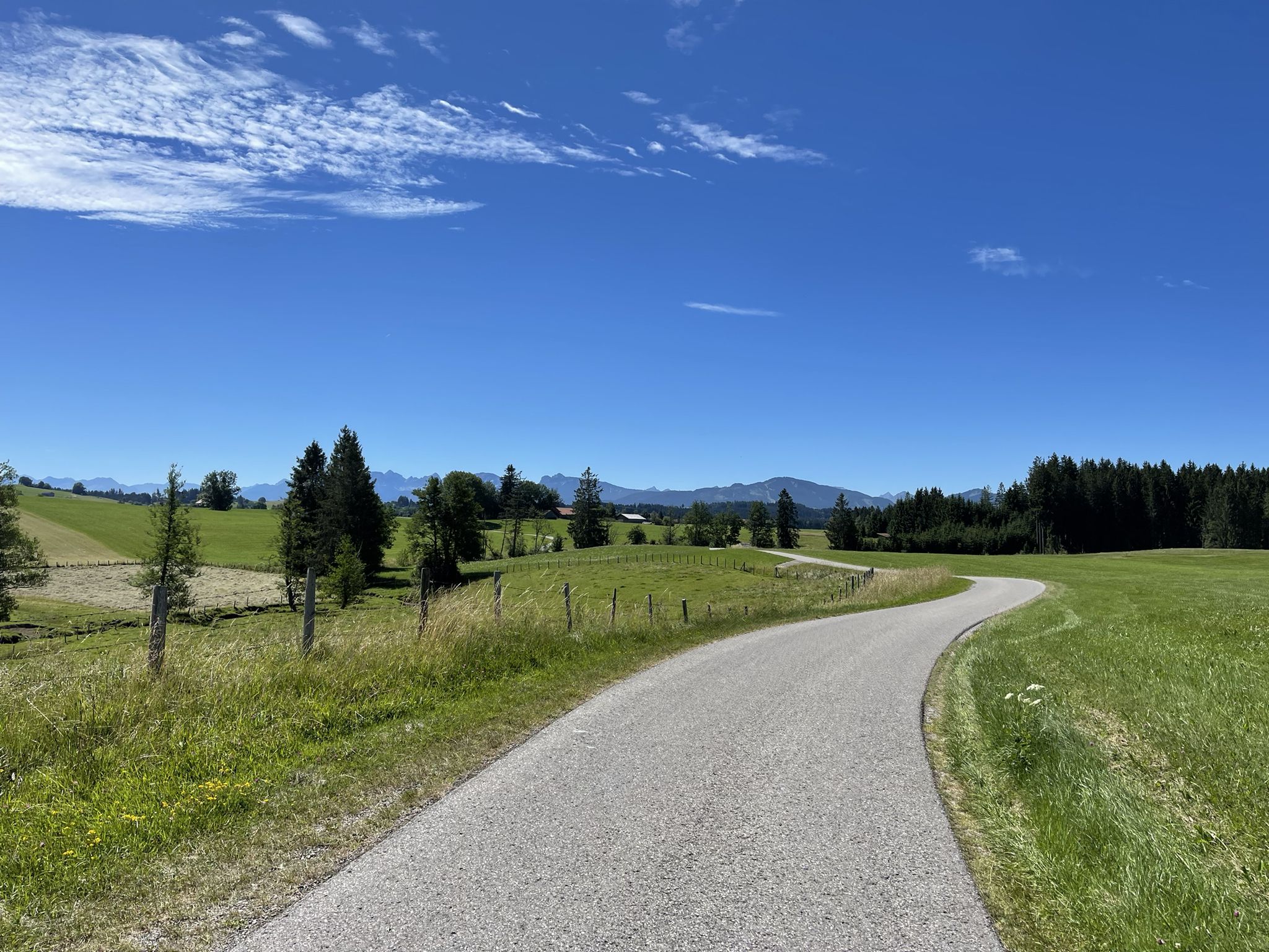
アウクスブルクからアルゴイアルプスへのハイキング
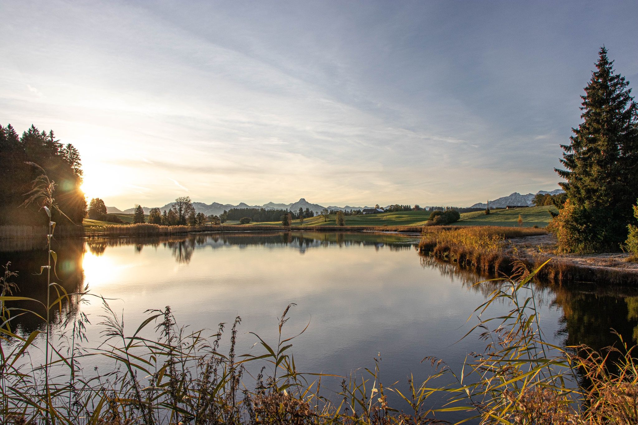
Hike with the Alps in view – discovery Tours in Germany’s Ostallgäu
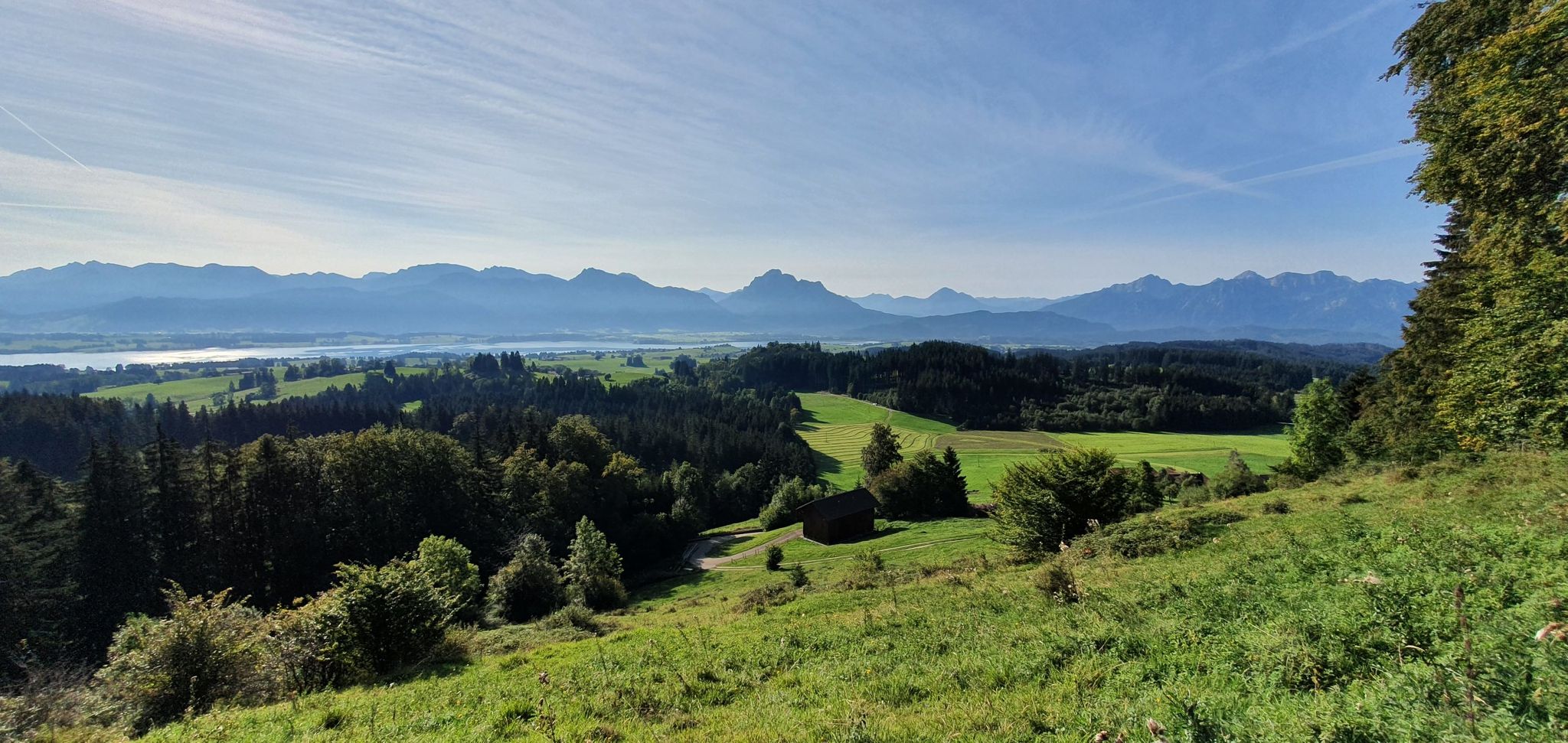
Curtain up, 自然映画の上映開始! — Logenplatz route in Germany's Ostallgäu
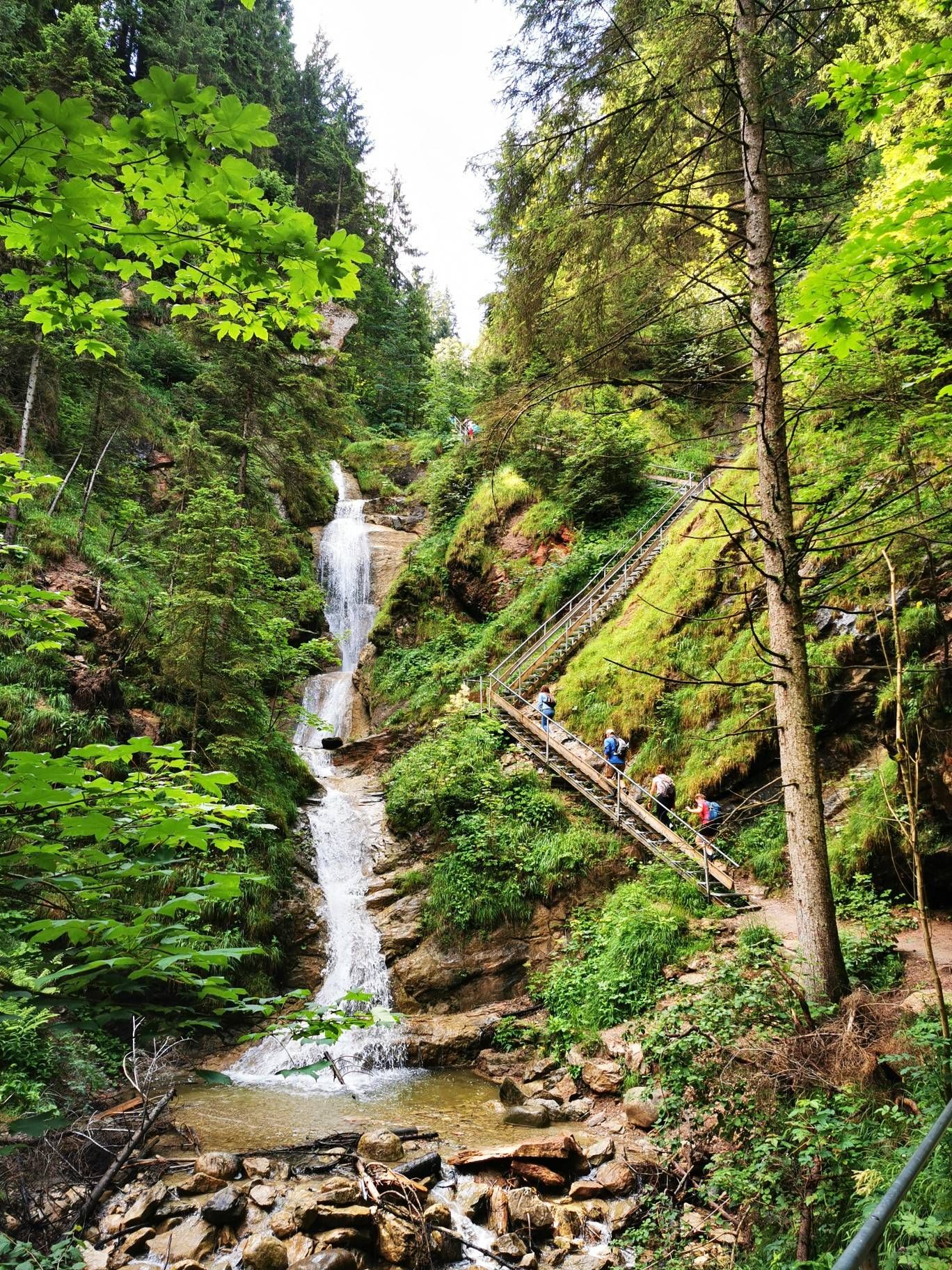
アルプスの湖を発見するウォーターコースルート – アルガウハイキング三部作
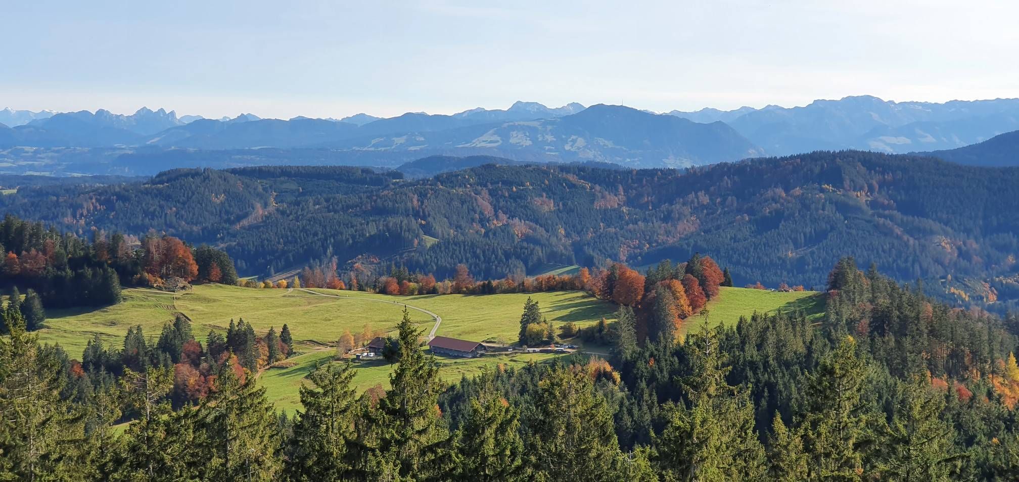
アルプスの丘陵地帯、メドウウォーカーズルート – アルゲウハイキング三部作
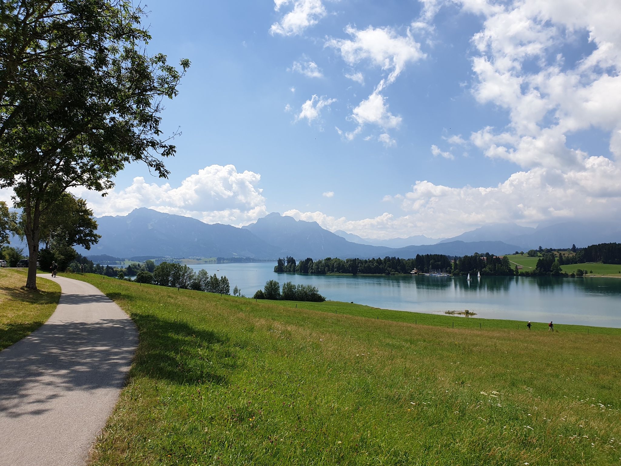
Historic landscapes, palaces & castles – cycling in the Schlosspark in Allgäu
ゲリスリートでのサイクリング
ゲリスリートでのハイキング
ゲリスリートのMTBトレイル
ゲリスリートのロードバイクルート
ゲリスリートでのの他の冒険


コミュニティからのヒント


The summit cross is located on the rocky section of the Alpspitz. From here, there is a wonderful view. On the back of the cross is a beautiful plaque depicting Mary with Child. On the front, there is a container with the summit register. Today, on my way down to the west, I even spotted some chamois below the Alpspitz.
5
0

Great spot to enjoy the view - but only when there are no pedestrians there!
0
0

アルプスピッツ(1575 m)は、エーデルシュベルクの支峰です。アルプスの北東端、アルプスのすぐそばに位置しています。アルプスピッツの重要な谷の町は、北に位置するネッセルヴァング(その境界内にあります)、東のフロントン、南西のユングホルツです。2キロメートル西には、独立したロイターヴァンネ(1539 m)があります。 山頂へは林道やハイキングコースから容易にアクセスできます。最も速く短いアクセス方法は、北から、アルプスピッツバーン・ネッセルヴァングの山頂駅(山頂から75 m下の鞍部に位置しています)を経由することです。他のルートには、例えばネッセルブルク城の廃墟や、マリア・トロスト巡礼教会を経由するルートがあります。山頂には木製の十字架が立っています。 ソース: https://de.wikipedia.org/wiki/Alpspitz_(Allg%C3%A4uer_Alpen)
1
0
The Baroque Maria Trost Church and its adjoining youth hostel are located above the town of Nesselwang in a uniquely beautiful forest clearing at an altitude of 1,123 meters. The church and hostel are only accessible on foot, a 45-minute climb (by car only with a special permit or toll). From the Zinkenbichel Chapel in the center of Nesselwang, you can ascend the scenic Maria Trost Avenue, then the wildly romantic Calvary Trail with its fourteen Stations of the Cross, or take the longer, less strenuous hike. Source: https://www.bja-augsburg.de/Jugendhaeuser/Unsere-Jugendhaeuser/Bergheim-Maria-Trost-Nesselwang
1
0
The alpine hut, idyllically situated amidst the alpine meadows on the Edelsberg, is open from June to the beginning of September (only open on weekends - the hut remains closed in case of persistent rain). At 1,495 meters, the alpine shepherd cares for the free-roaming "Schumpen" (young cattle) – as the Allgäu people call them. From the beginning of September, they return to their farmers' stables well-fed and healthy. Until then, the Allgäu young cattle have had ample opportunity to graze on the diverse grasses of the alpine meadows. In addition to the unique mountain panorama, there is a delicious snack and refreshing drinks. At the Dinserhütte, the Nöß family not only ensures the well-being of the young cattle, but also welcomes hikers and mountain bikers. Source: https://www.pfronten.de/aktiv/berghuetten/dinserhuette/#regdl=kategorien
2
0
巡礼教会マリア・トロストは、市場町ネッセルヴァングにバイエルン・シュヴァーベンで最も重要な巡礼地の1つをもたらします。このバロック様式の聖母巡礼教会は、標高1123mの森の開けた場所にあり、ネッセルヴァングのツィンケンビッヒル礼拝堂からマリア・トロスト・アレーを経由してカルヴァリー山道で町と結ばれており、山頂まで45分かかります。 Quelle: https://www.pg-pfronten-nesselwang.de/pfarreien/pfarrei-nesselwang/wallfahrtskirche-maria-trost/
1
0
The AlpspitzKICK is a highlight in the Allgäu region. It not only offers fantastic views of the Alpine foothills, but the spectacular zipline at the Alpspitzbahn cable car in Nesselwang is something for those with a strong sense of stability: It descends a total of 1.2 kilometers in two sections on a cable. Speeds of up to 120 kilometers per hour are reached. The start is at the mountain station at approximately 1,500 meters, very close to the summit of the Alpspitze.
2
0

komootモバイルアプリでインスピレーションを得よう


さらに探索
他の地域の最高の登山ハイキング & ルートを見てみましょう。
